Crossgate

Settlement in Devon

England

Crossgate

The Devon border sign at Nether Bridge
The Devon border sign at Nether Bridge Credit: Roy Hughes

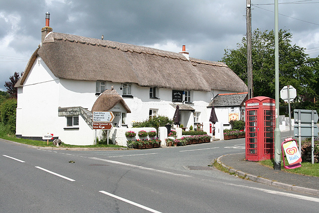
Crossgate is a charming village located in the county of Devon, England. Situated on the southern edge of Dartmoor National Park, it is surrounded by picturesque landscapes and natural beauty. The village is positioned approximately 10 miles west of the bustling city of Exeter, making it an ideal retreat for those seeking a peaceful and idyllic setting.

With a population of around 400 residents, Crossgate retains a close-knit community atmosphere. The village features a mix of traditional stone cottages, as well as more modern houses, creating a diverse architectural landscape. Its quaint streets are lined with well-maintained gardens and vibrant flower displays during the summer months.

Despite its small size, Crossgate offers a range of amenities for its residents. A local pub, The Crossgate Inn, provides a warm and welcoming environment for both locals and visitors alike. Additionally, a small convenience store caters to everyday needs, while a post office and a village hall serve as central meeting points for community events.

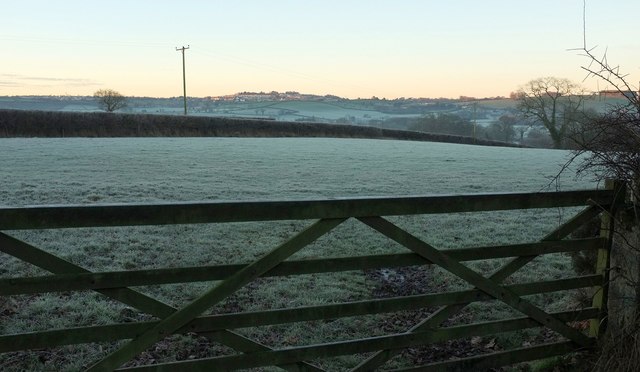
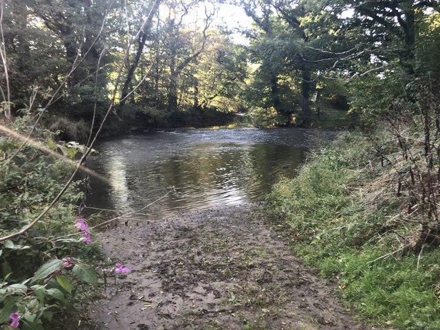
The village benefits from its close proximity to Dartmoor National Park, offering residents and visitors endless opportunities for outdoor activities. From scenic walks to cycling routes, there is something for everyone to enjoy. The nearby River Teign also provides a tranquil setting for fishing or leisurely picnics.

Overall, Crossgate, Devon is a charming and tranquil village, offering residents and visitors a peaceful escape from the hustle and bustle of city life. Its natural beauty and strong sense of community make it a truly desirable place to live or explore.

If you have any feedback on the listing, please let us know in the comments section below.
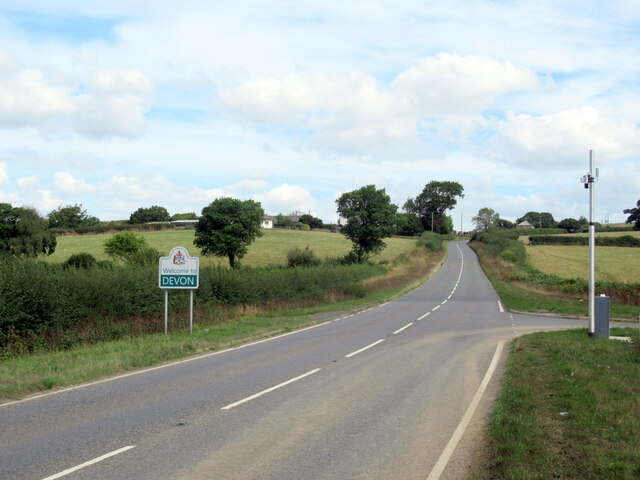
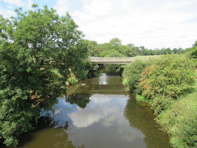
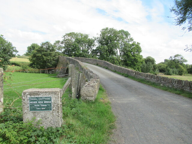
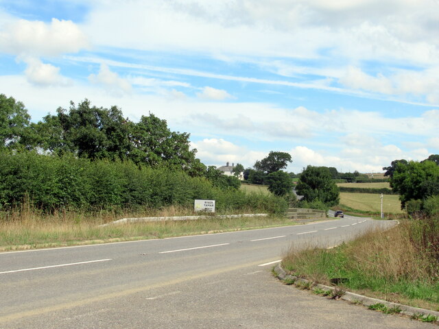
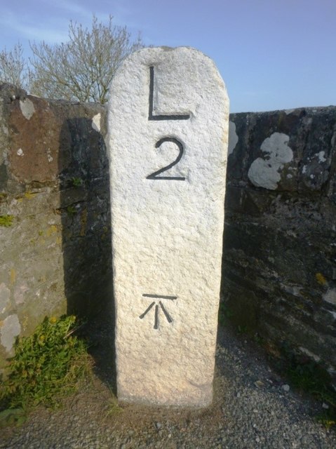
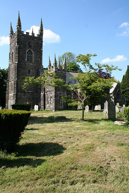
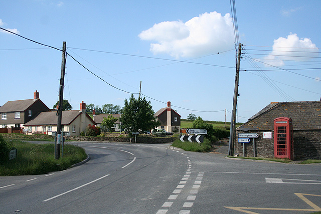
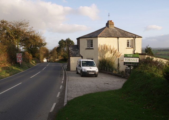
Crossgate Images

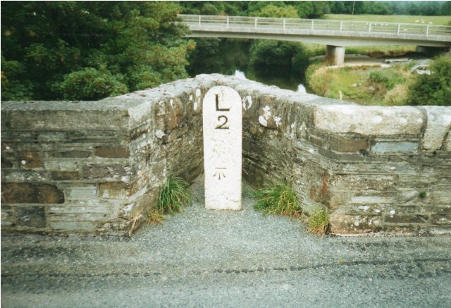
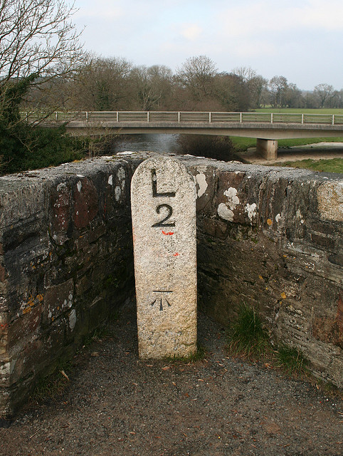
Images are sourced within 2km of 50.669917/-4.346627 or Grid Reference SX3488. Thanks to Geograph Open Source API. All images are credited.

The Devon border sign at Nether Bridge
The River Tamar at Nether Bridge
Higher New Bridge over the River Tamar
The A388 crossing the River Tamar at Nether Bridge
Sunrise by Coleman's Cross From beside where <a href="https://www.geograph.org.uk/photo/5258205">SX3586 : Sunrise at Coleman's Cross</a> was taken, looking towards Launceston on a frosty morning.
Sunrise by Coleman's Cross
From beside where SX3586 : Sunrise at Coleman's Cross was taken, looking towards Launceston on a frosty morning.
Old Milestone by the old A388, Higher New Bridge Carved stone post by the A388, in parish of ST STEPHENS BY LAUNCESTON RURAL (NORTH CORNWALL District), Higher New Bridge, in western cutwater refuge of bridge dated "circa 1504", on North West side of road. Launceston pillar, erected by the Launceston turnpike trust in the 18th century. 

Inscription reads:-
L
2 
Carved benchmark on front face.

Grade II Listed. List Entry Number: 1310378
<span class="nowrap"><a title="https://historicengland.org.uk/listing/the-list/list-entry/1310378" rel="nofollow ugc noopener" href="https://historicengland.org.uk/listing/the-list/list-entry/1310378">Link</a><img style="margin-left:2px;" alt="External link" title="External link - shift click to open in new window" src="https://s1.geograph.org.uk/img/external.png" width="10" height="10"/></span>

Milestone Society National ID: CW_LAHO02.
Old Milestone by the old A388, Higher New Bridge
Carved stone post by the A388, in parish of ST STEPHENS BY LAUNCESTON RURAL (NORTH CORNWALL District), Higher New Bridge, in western cutwater refuge of bridge dated "circa 1504", on North West side of road. Launceston pillar, erected by the Launceston turnpike trust in the 18th century. Inscription reads:- L 2 Carved benchmark on front face. Grade II Listed. List Entry Number: 1310378 LinkExternal link Milestone Society National ID: CW_LAHO02.
Crossgate Ford This ford on the River Tamar is found at Crossgate.
Crossgate Ford
This ford on the River Tamar is found at Crossgate.
Old Milestone on Nether Bridge, northeast of Launceston Carved stone post by the UC road (was A388), in parish of St Giles on the Heath (Torridge District), Nether Bridge over River Tamar, in the refuge at the middle of the bridge, on Northwest side of road. Launceston pillar, erected by the Launceston turnpike trust in the 18th century. 

Inscription reads:-
L
2
(To Launceston)
Carved benchmark on lower face.

Grade II listed.
List Entry Number: 1310378 <span class="nowrap"><a title="https://historicengland.org.uk/listing/the-list/list-entry/1310378" rel="nofollow ugc noopener" href="https://historicengland.org.uk/listing/the-list/list-entry/1310378">Link</a><img style="margin-left:2px;" alt="External link" title="External link - shift click to open in new window" src="https://s1.geograph.org.uk/img/external.png" width="10" height="10"/></span>

The bridge itself is Grade I listed and is also a Scheduled Monument.

Milestone Society National ID: CW_LAHO02
Old Milestone on Nether Bridge, northeast of Launceston
Carved stone post by the UC road (was A388), in parish of St Giles on the Heath (Torridge District), Nether Bridge over River Tamar, in the refuge at the middle of the bridge, on Northwest side of road. Launceston pillar, erected by the Launceston turnpike trust in the 18th century. Inscription reads:- L 2 (To Launceston) Carved benchmark on lower face. Grade II listed. List Entry Number: 1310378 LinkExternal link The bridge itself is Grade I listed and is also a Scheduled Monument. Milestone Society National ID: CW_LAHO02
Old Milestone by the former A388, Higher New Bridge Carved stone post by the A388, in parish of ST STEPHENS BY LAUNCESTON RURAL (NORTH CORNWALL District), Higher New Bridge, in Western cutwater refuge of bridge dated "circa 1504", on Northwest side of road. Launceston pillar, erected by the Launceston turnpike trust in the 18th century. 

Inscription reads:-
L
2 
Carved benchmark on lower face.

Grade II listed. 
List Entry Number: 1310378 <span class="nowrap"><a title="https://historicengland.org.uk/listing/the-list/list-entry/1310378" rel="nofollow ugc noopener" href="https://historicengland.org.uk/listing/the-list/list-entry/1310378">Link</a><img style="margin-left:2px;" alt="External link" title="External link - shift click to open in new window" src="https://s1.geograph.org.uk/img/external.png" width="10" height="10"/></span>

Milestone Society National ID: CW_LAHO02.
Old Milestone by the former A388, Higher New Bridge
Carved stone post by the A388, in parish of ST STEPHENS BY LAUNCESTON RURAL (NORTH CORNWALL District), Higher New Bridge, in Western cutwater refuge of bridge dated "circa 1504", on Northwest side of road. Launceston pillar, erected by the Launceston turnpike trust in the 18th century. Inscription reads:- L 2 Carved benchmark on lower face. Grade II listed. List Entry Number: 1310378 LinkExternal link Milestone Society National ID: CW_LAHO02.
St Stephens by Launceston: Higher New Bridge An old crossing of the river Tamar into Cornwall, on the Holsworthy road
St Stephens by Launceston: Higher New Bridge
An old crossing of the river Tamar into Cornwall, on the Holsworthy road
Disused Canal Bridge near Bridgetown 1978 This (disused) canal bridge is shown on OS Landranger and more detailed maps. Very overgrown with vegetation but the structure was sound in 1978 when photographed.  This canal extension left the main Bude canal at Red Post on the A3082 and followed the Tamar valley southwards. Intended to reach Launceston it never made it, finishing just south of here.  The N Cornwall railway beat them to it by a different route. An astonishing engineering enterprise in such a then remote area.
Disused Canal Bridge near Bridgetown 1978
This (disused) canal bridge is shown on OS Landranger and more detailed maps. Very overgrown with vegetation but the structure was sound in 1978 when photographed. This canal extension left the main Bude canal at Red Post on the A3082 and followed the Tamar valley southwards. Intended to reach Launceston it never made it, finishing just south of here. The N Cornwall railway beat them to it by a different route. An astonishing engineering enterprise in such a then remote area.
Bridge over the River Tamar near Crossgate
St Giles on the Heath: in the Tamar Valley Looking south west
St Giles on the Heath: in the Tamar Valley
Looking south west
St Giles on the Heath: by Poole Crest Looking south east on the lane from Druxton Bridge
St Giles on the Heath: by Poole Crest
Looking south east on the lane from Druxton Bridge
Werrington: river Tamar Seen from Druxton Bridge, looking east-north-east. Here the Tamar provides the boundary between Werrington and St Giles on the Heath parishes
Werrington: river Tamar
Seen from Druxton Bridge, looking east-north-east. Here the Tamar provides the boundary between Werrington and St Giles on the Heath parishes
Werrington: river Tamar Seen from Druxton Bridge, looking south east
Werrington: river Tamar
Seen from Druxton Bridge, looking south east
St Giles on the Heath: near East Druxton The lane to East Park, looking east with Dartmoor on the skyline
St Giles on the Heath: near East Druxton
The lane to East Park, looking east with Dartmoor on the skyline
St Giles on the Heath: near East Park Looking south-south-east
St Giles on the Heath: near East Park
Looking south-south-east
Show me another place!

Crossgate is located at Grid Ref: SX3488 (Lat: 50.669917, Lng: -4.346627)

Unitary Authority: Cornwall

Police Authority: Devon and Cornwall

What 3 Words

///indulges.models.divide. Near Werrington, Cornwall

Related Wikis

Crossgate Farmhouse

Crossgate Farmhouse is a Grade II listed farmhouse in the civil parish of Werrington, Cornwall, England, UK. It was perhaps built in the 18th century and...

Eggbeare

Eggbeare is a hamlet 2 miles (3.2 km) north-east of Launceston in east Cornwall, England. Eggbeare lies at around 94 metres (308 ft) above sea level and...

Bridgetown, Cornwall

Bridgetown is a hamlet in the parish of Werrington, Cornwall. It has a Methodist chapel. == References ==

Werrington, Cornwall

Werrington (Cornish: Trewolvredow) is a civil parish and former manor now in Cornwall, England, United Kingdom. Prior to boundary changes it straddled...

Ladycross

Ladycross is a hamlet near Werrington (where the population of the 2011 census was included.) in Cornwall, England. It is on the B3254 road half a mile...

Dutson

Dutson is a hamlet northeast of Launceston in Cornwall, England, and on the A388 main road. It is in the civil parish of St Stephens by Launceston Rural...

Yeolmbridge

Yeolmbridge is a village in Cornwall (but within the boundaries of the historic county of Devon), two and a half miles north of Launceston. == Yeolm... ==

St Giles on the Heath

St Giles on the Heath, sometimes hyphenated as St Giles-on-the-Heath, is a village and civil parish in the far west of Devon, England. It forms part of...

Nearby Amenities

Located within 500m of 50.669917,-4.346627
Crossgate
Place: hamlet
Source: OS OpenData StreetView
Wikidata: Q5188609
Lat/Long: 50.6700978/-4.3470713
Direction: SW
Generator Method: photovoltaic
Generator Output Electricity: yes
Generator Solar Modules: 17
Generator Source: solar
Generator Type: solar_photovoltaic_panel
Location: roof
Power: generator
Lat/Long: 50.6711665/-4.3411308
Direction: SE
Generator Method: photovoltaic
Generator Output Electricity: yes
Generator Solar Modules: 14
Generator Source: solar
Generator Type: solar_photovoltaic_panel
Location: roof
Power: generator
Lat/Long: 50.6714788/-4.3421289
The data included in this document is from www.openstreetmap.org. The data is made available under ODbL.

Have you been to Crossgate?

Leave your review of Crossgate below (or comments, questions and feedback).