Coulston Hillside Wood

Wood, Forest in Wiltshire

England

Coulston Hillside Wood

Pastures at Brickfield Farm A farm near East Coulston.  Much of this area is arable, but here there are cattle pastures.
This photo was taken from the 1158 Penzance to London Paddington train, having left Castle Cary at 1550.
Pastures at Brickfield Farm Credit: Graham Horn

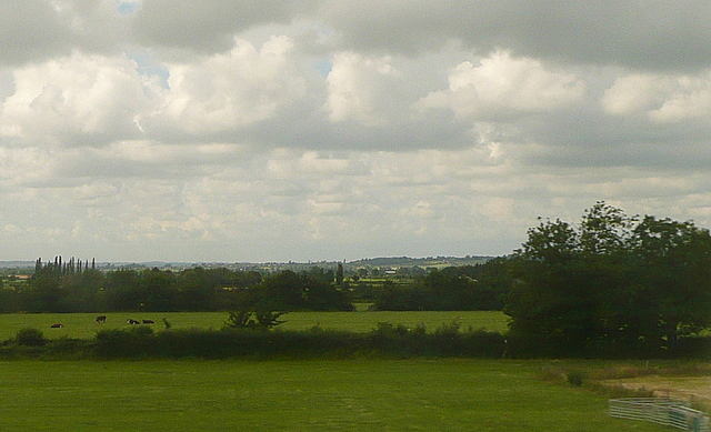
Coulston Hillside Wood is a picturesque woodland located in the county of Wiltshire, England. Covering an area of approximately 20 acres, this woodland offers a tranquil and serene escape from the hustle and bustle of everyday life.

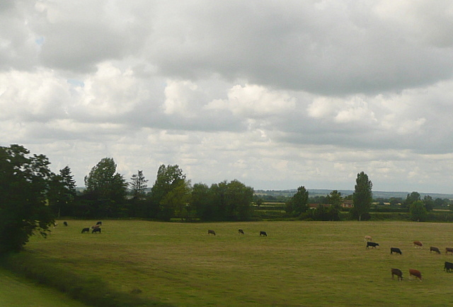
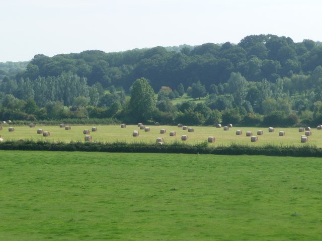
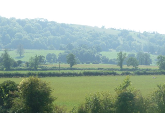
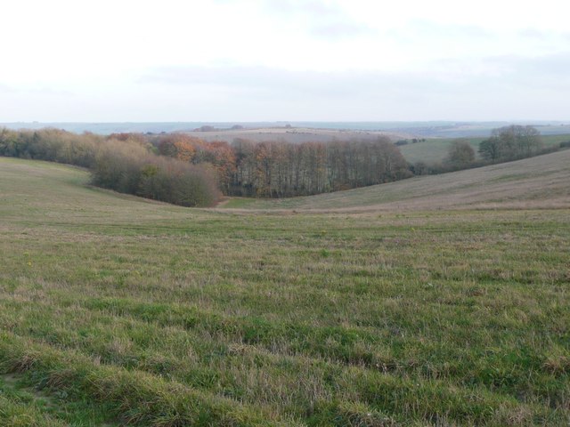
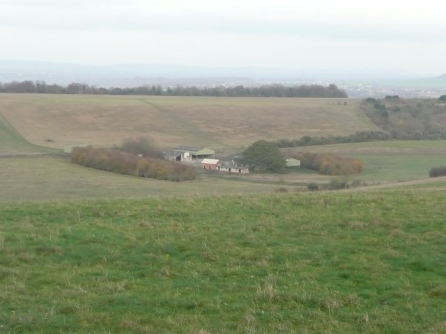
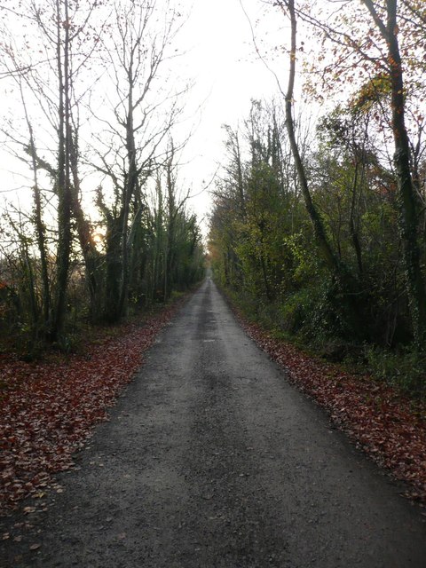
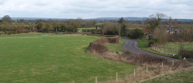
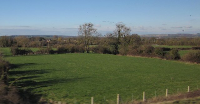
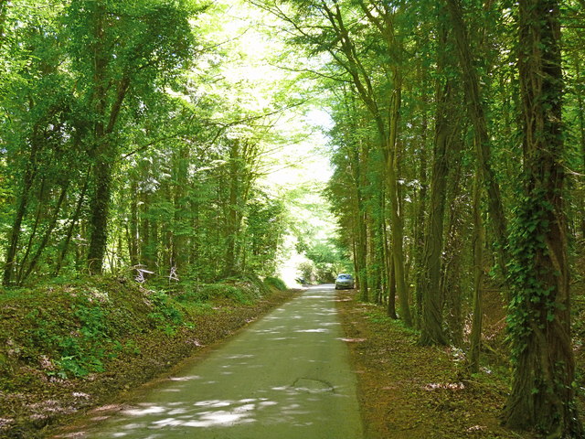
The wood is situated on a gently sloping hillside, providing visitors with stunning panoramic views of the surrounding countryside. The diverse range of trees found within the woodland includes oak, ash, beech, and birch, creating a vibrant and lush environment throughout the year. These trees provide ample shade during the summer months, making it an ideal spot for picnics or leisurely walks.

Coulston Hillside Wood is also home to a variety of wildlife, attracting nature enthusiasts and birdwatchers alike. Visitors may catch a glimpse of deer, foxes, rabbits, and an array of bird species, including woodpeckers and owls. The peaceful atmosphere and abundance of wildlife make it a popular spot for photography and nature observation.

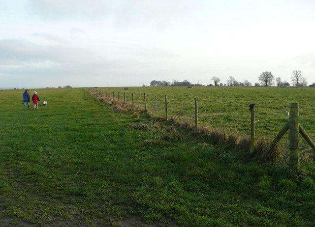
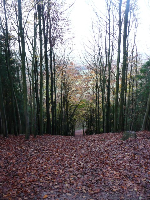
Well-maintained footpaths and trails wind their way through the woodland, allowing visitors to explore its beauty at their leisure. There are also several seating areas strategically placed throughout the wood, providing visitors with a place to rest and take in the surroundings.

Coulston Hillside Wood is open to the public throughout the year and offers a delightful natural retreat for individuals and families alike. Whether it is for a leisurely stroll, a picnic, or simply to appreciate the beauty of nature, this woodland is a must-visit destination in Wiltshire.

If you have any feedback on the listing, please let us know in the comments section below.

Coulston Hillside Wood Images

Images are sourced within 2km of 51.277727/-2.06835 or Grid Reference ST9553. Thanks to Geograph Open Source API. All images are credited.

Pastures at Brickfield Farm A farm near East Coulston.  Much of this area is arable, but here there are cattle pastures.
This photo was taken from the 1158 Penzance to London Paddington train, having left Castle Cary at 1550.
Pastures at Brickfield Farm
A farm near East Coulston. Much of this area is arable, but here there are cattle pastures. This photo was taken from the 1158 Penzance to London Paddington train, having left Castle Cary at 1550.
Pastures near Newtown Farm Much of this area is arable, but here there are cattle pastures.
This photo was taken from the 1158 Penzance to London Paddington train, having left Castle Cary at 1550.
Pastures near Newtown Farm
Much of this area is arable, but here there are cattle pastures. This photo was taken from the 1158 Penzance to London Paddington train, having left Castle Cary at 1550.
West Wiltshire : Grassy Field Grassy fields in West Wiltshire near Coulston as seen by a passing train.
West Wiltshire : Grassy Field
Grassy fields in West Wiltshire near Coulston as seen by a passing train.
West Wiltshire : grassy field A grassy field and its surrounding countryside.
West Wiltshire : grassy field
A grassy field and its surrounding countryside.
Looking from Stoke Hill over the woods  Towards Cheverell Hill Farm.
Looking from Stoke Hill over the woods
Towards Cheverell Hill Farm.
Dog walkers on Stoke Hill Approaching the 'Danger Area'.
Dog walkers on Stoke Hill
Approaching the 'Danger Area'.
Looking down from Stoke Hill Towards Cheverell Hill Farm.
Looking down from Stoke Hill
Towards Cheverell Hill Farm.
Autumn leaves in Hill Wood Looking down through Hill Wood from Pear Tree Hill.
Autumn leaves in Hill Wood
Looking down through Hill Wood from Pear Tree Hill.
The track at the top of Hill Wood Heading towards Stoke Hill.
The track at the top of Hill Wood
Heading towards Stoke Hill.
Lane near Coulston A lane winds past farm buildings, seen from a train on the Westbury - Pewsey railway line.
Lane near Coulston
A lane winds past farm buildings, seen from a train on the Westbury - Pewsey railway line.
Field near Coulston Sizable open fields alternate in this area with small bocage-like meadows, usually by watercourses, as in this case. There are small streams along both sides of this field, and they eventually flow into the Semington Brook. View from a train on the main line between Pewsey and Westbury.
Field near Coulston
Sizable open fields alternate in this area with small bocage-like meadows, usually by watercourses, as in this case. There are small streams along both sides of this field, and they eventually flow into the Semington Brook. View from a train on the main line between Pewsey and Westbury.
The B3098 through Erlestoke The George and Dragon pub is on the left.
The B3098 through Erlestoke
The George and Dragon pub is on the left.
Earlestoke parish church Seems to be a hole in the wall.
Earlestoke parish church
Seems to be a hole in the wall.
High street Earlestoke
Edington 878 878-the site of King Alfred's battle with the Danes (or so they say)
Edington 878
878-the site of King Alfred's battle with the Danes (or so they say)
Railway bridge and minor road The bridge takes the Reading to Taunton line over this minor road.
Railway bridge and minor road
The bridge takes the Reading to Taunton line over this minor road.
Field and Baynton Hillside Wood
Gently rising Pear Tree Lane continues to ascend Pear Tree Hill,  Hill Wood on the right, Folly Wood on the left.
Gently rising
Pear Tree Lane continues to ascend Pear Tree Hill, Hill Wood on the right, Folly Wood on the left.
Show me another place!

Coulston Hillside Wood is located at Grid Ref: ST9553 (Lat: 51.277727, Lng: -2.06835)

Unitary Authority: Wiltshire

Police Authority: Wiltshire

What 3 Words

///writings.drummers.triathlon. Near Erlestoke, Wiltshire

Related Wikis

Baynton House

Baynton House is a Grade II listed 17th-century country house at Coulston, Wiltshire, England, about 5 miles (8 km) northeast of the town of Westbury....
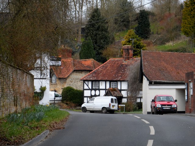
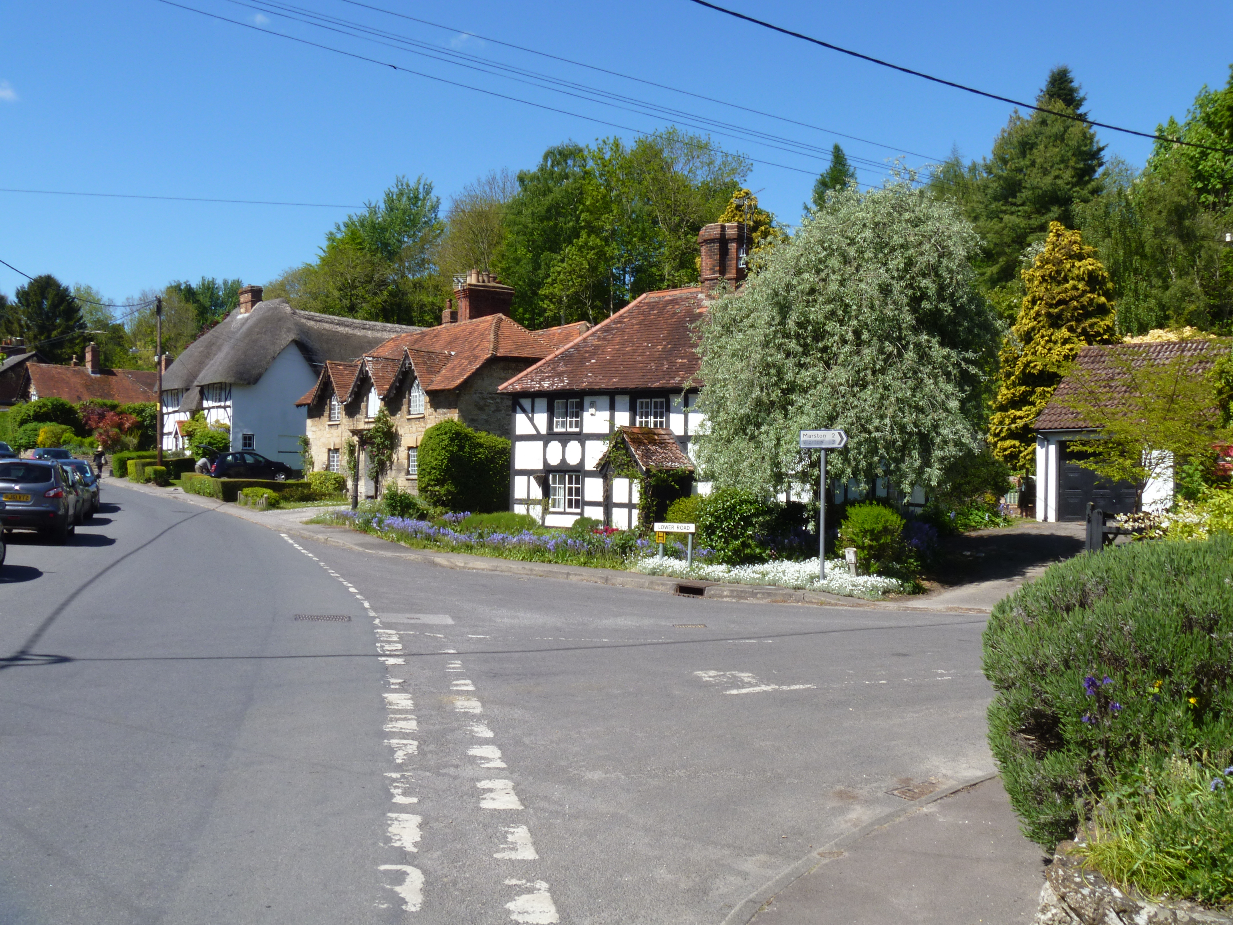
Coulston

Coulston (until 1934 called East Coulston) is a village and civil parish in Wiltshire, England, five miles northeast of the town of Westbury, just north...

Erlestoke

Erlestoke is a village and civil parish in Wiltshire, England, on the northern edge of Salisbury Plain. The village lies about 6 miles (10 km) east of...

Wessex Ridgeway

The Wessex Ridgeway is a long-distance footpath in southwest England. It runs 136 miles (219 km) from Marlborough in Wiltshire to Lyme Regis in Dorset...

Great Cheverell Hill

Great Cheverell Hill (grid reference ST966520) is a 33.2 hectare biological Site of Special Scientific Interest at Great Cheverell in Wiltshire, notified...

HM Prison Erlestoke

HM Prison Erlestoke is a Category C men's prison, to the east of the village of Erlestoke in Wiltshire, England. Erlestoke is operated by His Majesty's...
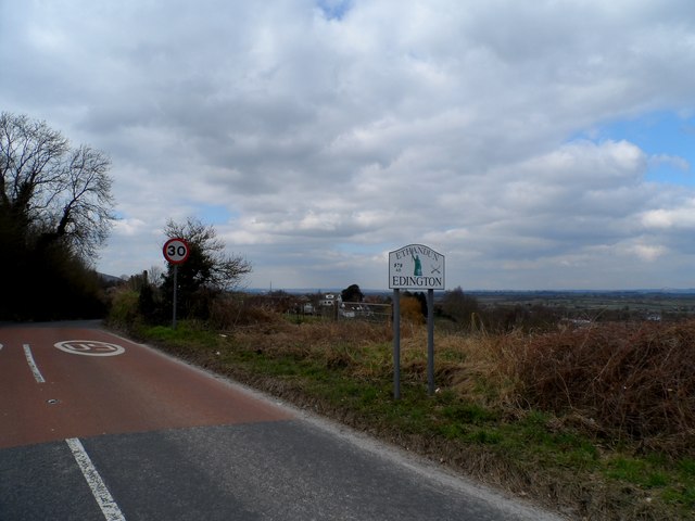
Edington, Wiltshire

Edington is a village and civil parish in Wiltshire, England, about 4 miles (6 km) east-northeast of Westbury. The village lies under the north slope of...
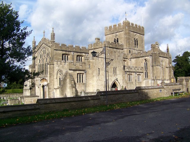
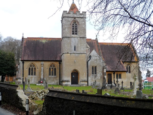
Edington Priory

Edington Priory in Wiltshire, England, was founded by William Edington, the bishop of Winchester, in 1351 in his home village of Edington, about 3+3⁄4...

Have you been to Coulston Hillside Wood?

Leave your review of Coulston Hillside Wood below (or comments, questions and feedback).