Erlestoke

Civil Parish in Wiltshire

England

Erlestoke

Pastures at Brickfield Farm A farm near East Coulston.  Much of this area is arable, but here there are cattle pastures.
This photo was taken from the 1158 Penzance to London Paddington train, having left Castle Cary at 1550.
Pastures at Brickfield Farm Credit: Graham Horn

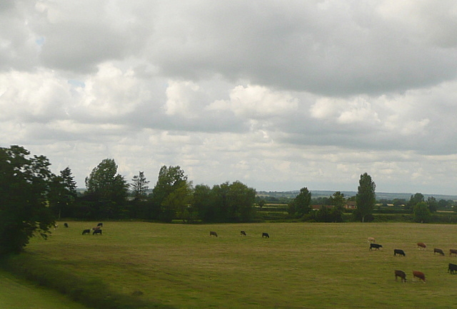
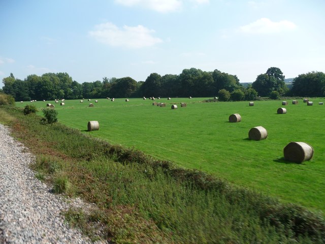
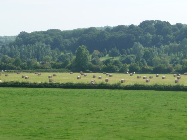
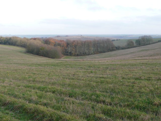
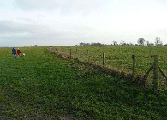
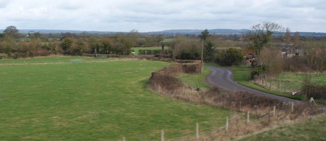
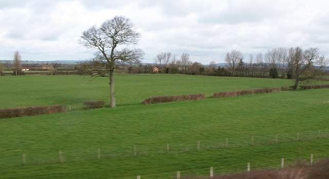
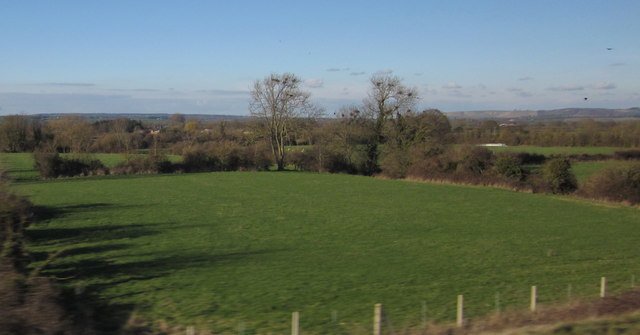
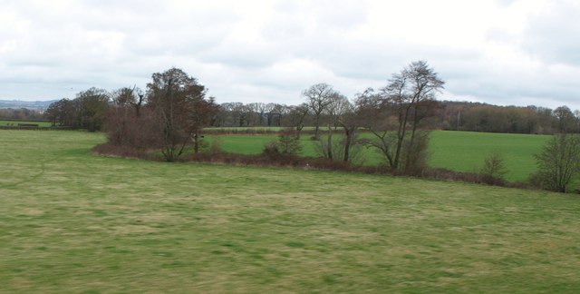
Erlestoke is a civil parish located in the county of Wiltshire, England. Situated approximately 3.5 miles southeast of Westbury, it covers an area of about 3.5 square miles. The parish is primarily rural, with a population of around 600 residents.

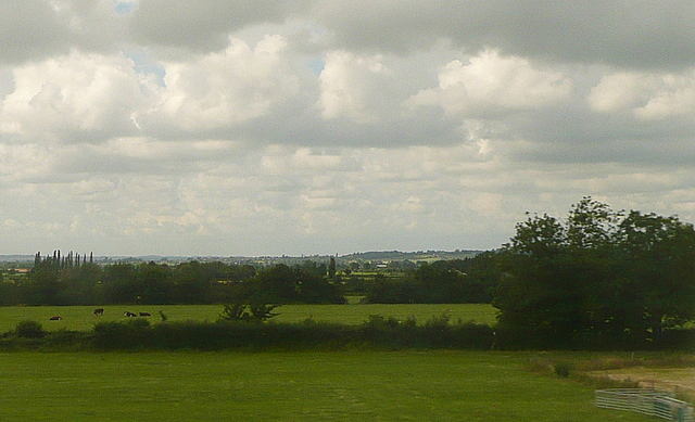
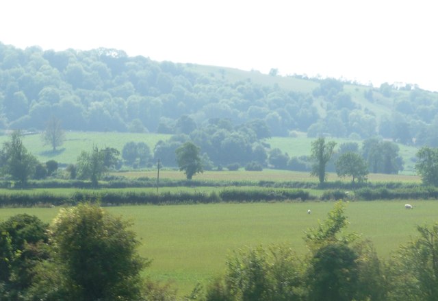
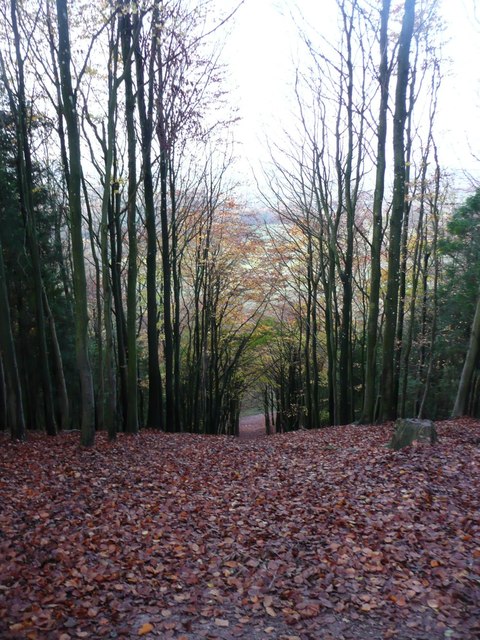
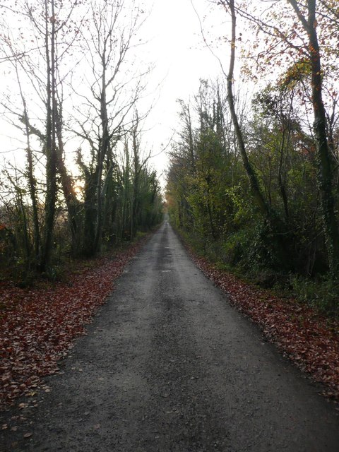
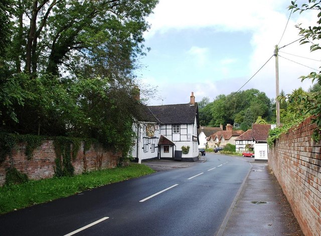
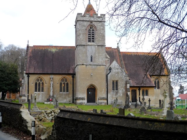
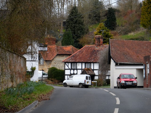
The village of Erlestoke is the main settlement within the parish. It is a small and picturesque village that is surrounded by beautiful countryside and farmland. The village is known for its traditional stone-built houses, many of which date back several centuries. There is a village church, St. Saviour's, which was built in the 19th century and is a notable architectural feature.

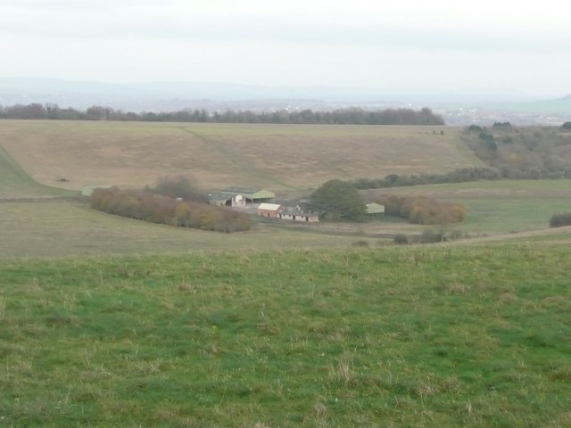
One of the prominent features of Erlestoke is Erlestoke Prison, a Category C men's prison that is located on the outskirts of the village. The prison has been in operation since 1989 and houses around 500 inmates. It is a significant employer in the area and provides various vocational training programs for prisoners.

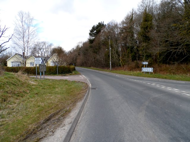
The parish is well-connected by road, with the A360 passing through it, providing easy access to nearby towns and cities. The village has limited amenities, with a small convenience store, a pub, and a primary school. However, residents have access to a wider range of services in the nearby towns of Westbury and Devizes.

Erlestoke is a peaceful and scenic location, offering a tranquil rural lifestyle for its residents. It is known for its community spirit, with various local events and activities organized throughout the year.

If you have any feedback on the listing, please let us know in the comments section below.

Erlestoke Images

Images are sourced within 2km of 51.280366/-2.059685 or Grid Reference ST9553. Thanks to Geograph Open Source API. All images are credited.

Pastures at Brickfield Farm A farm near East Coulston.  Much of this area is arable, but here there are cattle pastures.
This photo was taken from the 1158 Penzance to London Paddington train, having left Castle Cary at 1550.
Pastures at Brickfield Farm
A farm near East Coulston. Much of this area is arable, but here there are cattle pastures. This photo was taken from the 1158 Penzance to London Paddington train, having left Castle Cary at 1550.
Pastures near Newtown Farm Much of this area is arable, but here there are cattle pastures.
This photo was taken from the 1158 Penzance to London Paddington train, having left Castle Cary at 1550.
Pastures near Newtown Farm
Much of this area is arable, but here there are cattle pastures. This photo was taken from the 1158 Penzance to London Paddington train, having left Castle Cary at 1550.
West Wiltshire : grassy field A grassy field with hay bales in the sun.
West Wiltshire : grassy field
A grassy field with hay bales in the sun.
West Wiltshire : Grassy Field Grassy fields in West Wiltshire near Coulston as seen by a passing train.
West Wiltshire : Grassy Field
Grassy fields in West Wiltshire near Coulston as seen by a passing train.
West Wiltshire : grassy field A grassy field and its surrounding countryside.
West Wiltshire : grassy field
A grassy field and its surrounding countryside.
Looking from Stoke Hill over the woods  Towards Cheverell Hill Farm.
Looking from Stoke Hill over the woods
Towards Cheverell Hill Farm.
Dog walkers on Stoke Hill Approaching the 'Danger Area'.
Dog walkers on Stoke Hill
Approaching the 'Danger Area'.
Looking down from Stoke Hill Towards Cheverell Hill Farm.
Looking down from Stoke Hill
Towards Cheverell Hill Farm.
Autumn leaves in Hill Wood Looking down through Hill Wood from Pear Tree Hill.
Autumn leaves in Hill Wood
Looking down through Hill Wood from Pear Tree Hill.
The track at the top of Hill Wood Heading towards Stoke Hill.
The track at the top of Hill Wood
Heading towards Stoke Hill.
Lane near Coulston A lane winds past farm buildings, seen from a train on the Westbury - Pewsey railway line.
Lane near Coulston
A lane winds past farm buildings, seen from a train on the Westbury - Pewsey railway line.
Farmland, Newtown Farm Trees along an intermittent hedge reinforced with a fence. Newtown Farm is in the centre background. On the left are buildings at South Farm. View from a passing train on the line from Westbury to Pewsey.
Farmland, Newtown Farm
Trees along an intermittent hedge reinforced with a fence. Newtown Farm is in the centre background. On the left are buildings at South Farm. View from a passing train on the line from Westbury to Pewsey.
Field near Coulston Sizable open fields alternate in this area with small bocage-like meadows, usually by watercourses, as in this case. There are small streams along both sides of this field, and they eventually flow into the Semington Brook. View from a train on the main line between Pewsey and Westbury.
Field near Coulston
Sizable open fields alternate in this area with small bocage-like meadows, usually by watercourses, as in this case. There are small streams along both sides of this field, and they eventually flow into the Semington Brook. View from a train on the main line between Pewsey and Westbury.
Farmland near Great Cheverell Seen from a train on the Westbury - Pewsey main line. The nearer trees are following a small drainage channel. Cheverell Wood is in the background on the right.
Farmland near Great Cheverell
Seen from a train on the Westbury - Pewsey main line. The nearer trees are following a small drainage channel. Cheverell Wood is in the background on the right.
The B3098 through Erlestoke The George and Dragon pub is on the left.
The B3098 through Erlestoke
The George and Dragon pub is on the left.
Junction on B3098
Junction on B3098
Earlestoke parish church Seems to be a hole in the wall.
Earlestoke parish church
Seems to be a hole in the wall.
High street Earlestoke
Show me another place!

Erlestoke is located at Grid Ref: ST9553 (Lat: 51.280366, Lng: -2.059685)

Unitary Authority: Wiltshire

Police Authority: Wiltshire

What 3 Words

///magpie.treatable.nickname. Near Erlestoke, Wiltshire

Related Wikis

Erlestoke

Erlestoke is a village and civil parish in Wiltshire, England, on the northern edge of Salisbury Plain. The village lies about 6 miles (10 km) east of...

Baynton House

Baynton House is a Grade II listed 17th-century country house at Coulston, Wiltshire, England, about 5 miles (8 km) northeast of the town of Westbury....

Coulston

Coulston (until 1934 called East Coulston) is a village and civil parish in Wiltshire, England, five miles northeast of the town of Westbury, just north...

HM Prison Erlestoke

HM Prison Erlestoke is a Category C men's prison, to the east of the village of Erlestoke in Wiltshire, England. Erlestoke is operated by His Majesty's...

Wessex Ridgeway

The Wessex Ridgeway is a long-distance footpath in southwest England. It runs 136 miles (219 km) from Marlborough in Wiltshire to Lyme Regis in Dorset...

Great Cheverell Hill

Great Cheverell Hill (grid reference ST966520) is a 33.2 hectare biological Site of Special Scientific Interest at Great Cheverell in Wiltshire, notified...

Great Cheverell

Great Cheverell is a village and civil parish in Wiltshire, England, 5 miles (8.0 km) south of Devizes. In some sources the Latinized name of Cheverell...

Little Cheverell

Little Cheverell is a small village and civil parish in Wiltshire, England. In some sources the Latinized name of Cheverell Parva is used, especially when...

Nearby Amenities

Located within 500m of 51.280366,-2.059685
Golf: pin
Lat/Long: 51.2826417/-2.0589064
Golf: pin
Lat/Long: 51.2839086/-2.059057
Golf: pin
Lat/Long: 51.2818463/-2.0634521
The data included in this document is from www.openstreetmap.org. The data is made available under ODbL.

Have you been to Erlestoke?

Leave your review of Erlestoke below (or comments, questions and feedback).