Low Wood
Wood, Forest in Yorkshire Craven
England
Low Wood
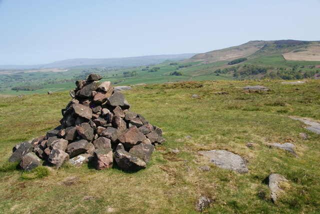
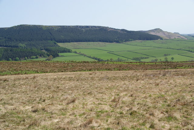
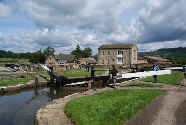
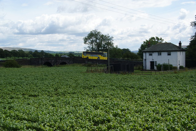
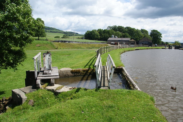
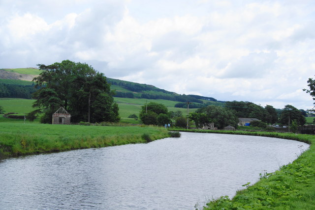
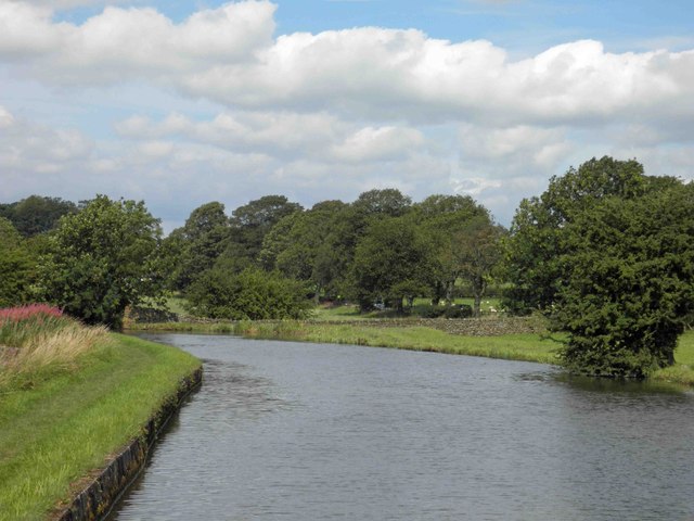
Low Wood is a small village located in the scenic region of Yorkshire, England. Situated amidst lush greenery and pristine landscapes, it is often referred to as a picturesque paradise for nature lovers. The village is nestled within a dense forest, which adds to its tranquil and idyllic setting.
Low Wood is renowned for its abundant wildlife, making it a popular destination for birdwatchers and nature enthusiasts. The forest surrounding the village is home to various species of birds, including woodpeckers, owls, and thrushes. Visitors can enjoy leisurely walks along the well-maintained trails, taking in the sights and sounds of the enchanting woodland.
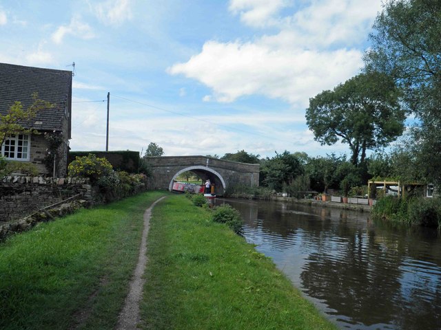
The village itself is characterized by its quaint charm and traditional architecture. The houses in Low Wood are predominantly made of local stone, giving them a rustic and timeless appeal. The community is tight-knit, with a warm and welcoming atmosphere that makes it a delightful place to visit or reside.
Despite its peaceful ambiance, Low Wood is not isolated from modern conveniences. The village has a well-stocked grocery store, a post office, and a few small businesses, catering to the needs of both residents and tourists. Additionally, there are a couple of cozy pubs that offer a friendly atmosphere and serve delicious local cuisine.
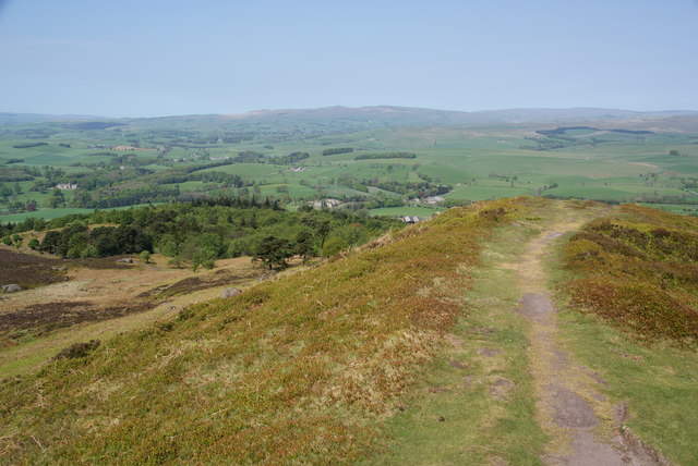
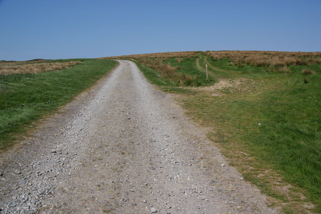
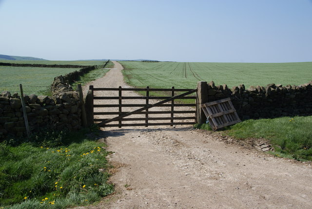
For those seeking adventure, Low Wood provides ample opportunities for outdoor activities. The nearby forest offers fantastic hiking and biking trails, allowing visitors to immerse themselves in nature while enjoying the thrill of exploration.
In summary, Low Wood, Yorkshire is a charming village nestled in a forested area, offering a serene and scenic escape from city life. With its rich wildlife, traditional architecture, and outdoor recreational opportunities, it is a destination that appeals to nature lovers and those seeking a tranquil retreat.
If you have any feedback on the listing, please let us know in the comments section below.
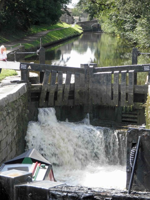
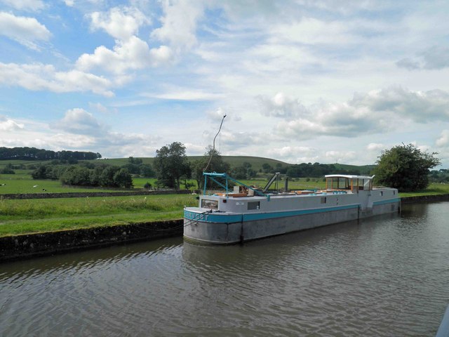
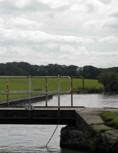
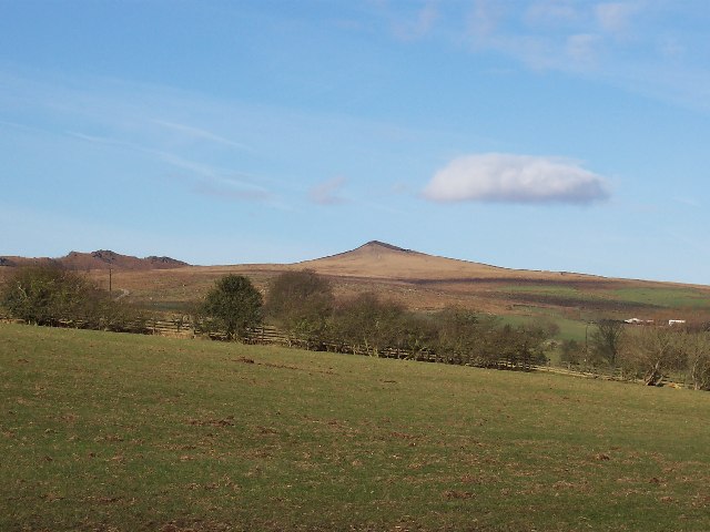
Low Wood Images
Images are sourced within 2km of 53.983364/-2.072626 or Grid Reference SD9554. Thanks to Geograph Open Source API. All images are credited.

Low Wood is located at Grid Ref: SD9554 (Lat: 53.983364, Lng: -2.072626)
Division: West Riding
Administrative County: North Yorkshire
District: Craven
Police Authority: North Yorkshire
What 3 Words
///thuds.obviously.polished. Near Gargrave, North Yorkshire
Nearby Locations
Related Wikis
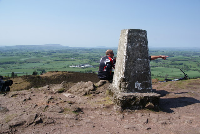
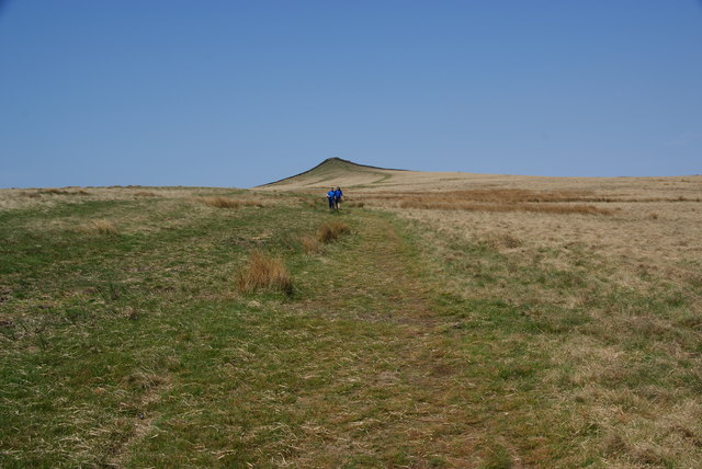
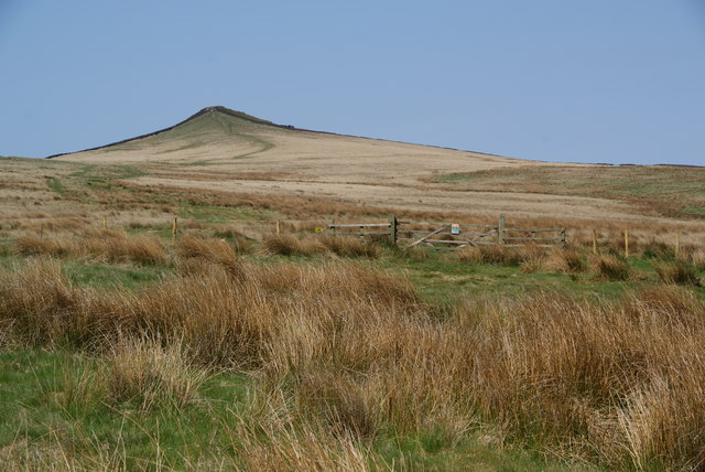
Sharp Haw
Sharp Haw is a hill on the southern edge of the Yorkshire Dales, located just within the National Park. Being the last outpost of the hills before the...

Stirton with Thorlby
Stirton with Thorlby is a civil parish in the Craven district of North Yorkshire, England. The parish includes the settlements of Stirton and Thorlby....

Eshton
Eshton is a small village and civil parish in the Craven district of North Yorkshire, England. At the 2011 Census the population was less than 100 and...

Gargrave
Gargrave is a large village and civil parish in the Craven district located along the A65, 4 miles (6 km) north-west of Skipton in North Yorkshire, England...

Gargrave railway station
Gargrave is a railway station on the Bentham Line, which runs between Leeds and Morecambe via Skipton. The station, situated 30 miles (48 km) north-west...

Flasby
Flasby is a hamlet in the Yorkshire Dales in North Yorkshire, England. It is one of the two settlements, with Winterburn, in the civil parish of Flasby...

Moor Music Festival
The Moor Music Festival was an annual music festival held initially on a farm in Addingham Moorside, near the town of Ilkley, West Yorkshire. For the 2009...

Craven College
Craven College is a further education college based in Skipton, North Yorkshire, England. Craven offers a variety of further and higher education courses...
Nearby Amenities
Located within 500m of 53.983364,-2.072626Have you been to Low Wood?
Leave your review of Low Wood below (or comments, questions and feedback).