Course Copse

Wood, Forest in Gloucestershire Cotswold

England

Course Copse

Bridleway near Sapperton Judging by the height and thickness of the grass, this does not seem to be well used. Perhaps not surprising, as it doesn't lead easily to anywhere in particular.  It is on the Bathurst Estate.
Bridleway near Sapperton Credit: David Purchase

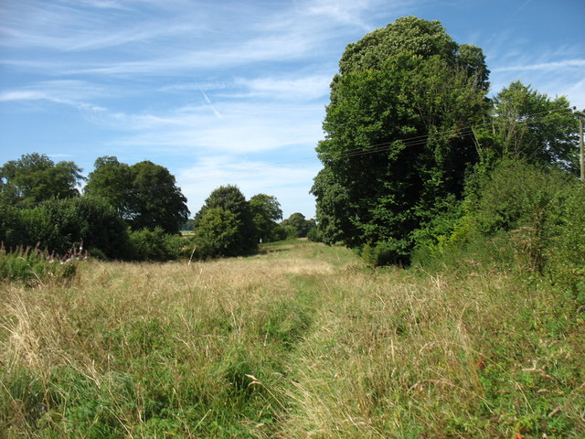
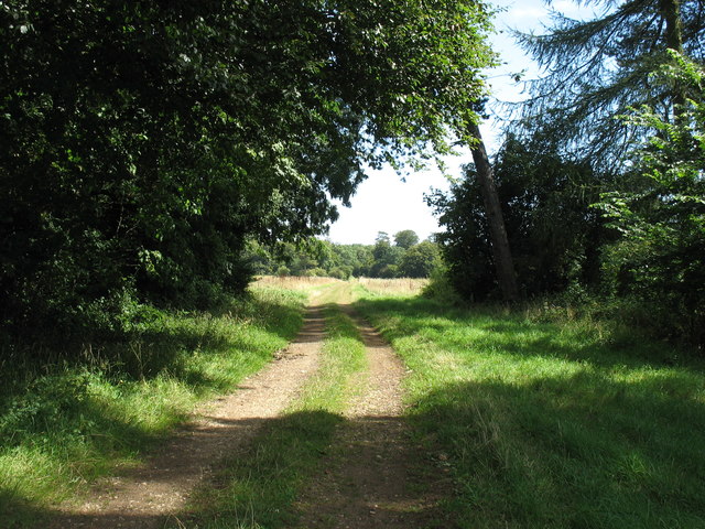
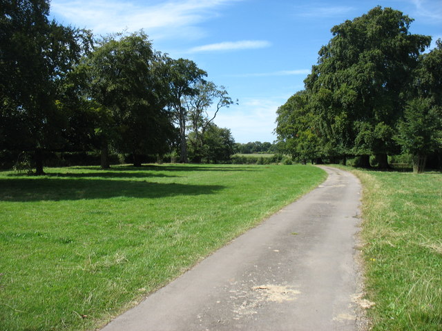
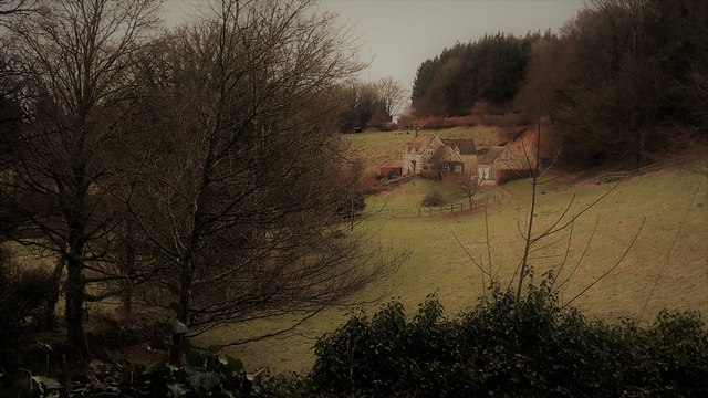
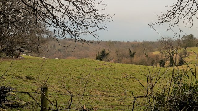
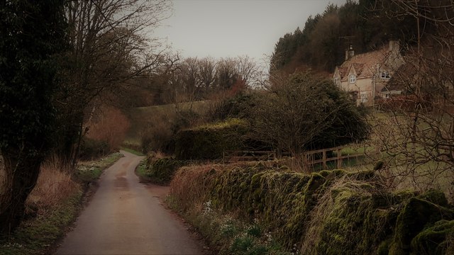
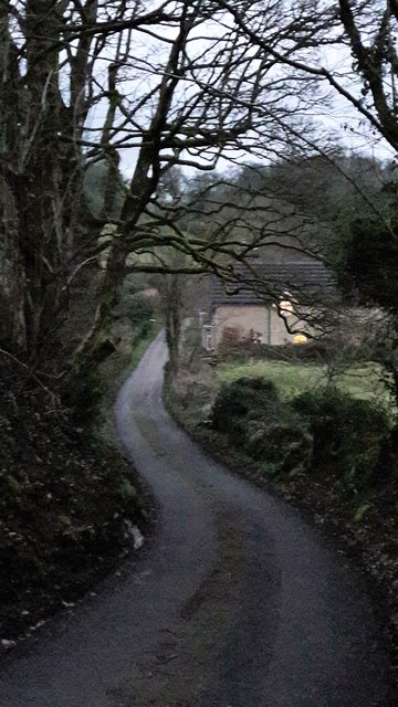
Course Copse is a picturesque woodland area located in Gloucestershire, England. Covering an extensive area of land, this forest is renowned for its diverse range of flora and fauna, making it a popular destination for nature enthusiasts and hikers alike.

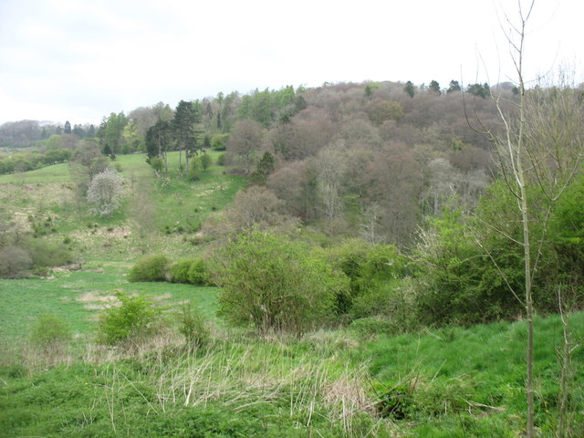
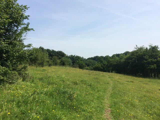
The woodland is characterized by its dense canopy of trees, predominantly consisting of oak, beech, and birch. These tall trees provide ample shade and create a serene atmosphere that is perfect for exploring and immersing oneself in nature. The forest floor is adorned with a rich carpet of mosses, ferns, and wildflowers, adding to the enchanting ambiance.

Course Copse is home to a variety of wildlife species, including deer, foxes, badgers, and an array of bird species. Birdwatchers can often spot woodpeckers, owls, and various songbirds within the forest. The tranquil setting of the woodland provides an ideal habitat for these creatures, making it a haven for nature lovers.

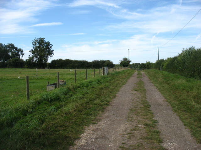
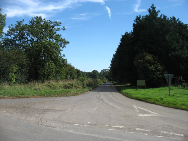
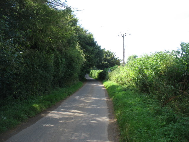
The forest offers a network of well-maintained trails, allowing visitors to explore its beauty on foot. These trails wind through the woodland, providing opportunities to discover hidden glades, babbling brooks, and ancient trees. Along the way, informative signage educates visitors about the various species of trees and wildlife that can be found within the forest.

Course Copse is a true gem of Gloucestershire, offering a peaceful retreat from the hustle and bustle of daily life. Whether one seeks solitude, a leisurely stroll, or a chance to immerse themselves in nature, this woodland provides an idyllic setting that is sure to captivate all who venture within its boundaries.

If you have any feedback on the listing, please let us know in the comments section below.

Course Copse Images

Images are sourced within 2km of 51.741125/-2.0733075 or Grid Reference SO9504. Thanks to Geograph Open Source API. All images are credited.

Bridleway near Sapperton Judging by the height and thickness of the grass, this does not seem to be well used. Perhaps not surprising, as it doesn't lead easily to anywhere in particular.  It is on the Bathurst Estate.
Bridleway near Sapperton
Judging by the height and thickness of the grass, this does not seem to be well used. Perhaps not surprising, as it doesn't lead easily to anywhere in particular. It is on the Bathurst Estate.
Track in Sapperton Park All part of the Bathurst Estate, but walkers and horse-riders are allowed to roam freely during the day.
Track in Sapperton Park
All part of the Bathurst Estate, but walkers and horse-riders are allowed to roam freely during the day.
Bridleway near Parkcorner Farm Through the gate ahead, the track descends steeply to the upper River Frome.
Bridleway near Parkcorner Farm
Through the gate ahead, the track descends steeply to the upper River Frome.
Overley Road Seen from Park Corner, heading for Daglingworth.
Overley Road
Seen from Park Corner, heading for Daglingworth.
Dark Ride The drive to Pinbury Park. There is a public bridleway to the left of this drive, though it wasn't well marked on the ground.
Dark Ride
The drive to Pinbury Park. There is a public bridleway to the left of this drive, though it wasn't well marked on the ground.
The lane to Edgeworth
Dorvel Wood Seen from the path between Sapperton and Daneway, across the Frome valley.
Dorvel Wood
Seen from the path between Sapperton and Daneway, across the Frome valley.
New Gates at Daneway Banks
Daneway Banks Nature Reserve
Daneway Banks
Nature Reserve
Edgeworth, the valley from the top of School Lane School Lane connects the two clusters of Edgeworth through a steep combe.
Edgeworth, the valley from the top of School Lane
School Lane connects the two clusters of Edgeworth through a steep combe.
Pastures at Edgeworth Looking from School Lane to the far hillside of the upper Frome valley.
Pastures at Edgeworth
Looking from School Lane to the far hillside of the upper Frome valley.
School Lane, Edgeworth
School Lane, Edgeworth Looking north from close to the church and manor house end of the lane.
School Lane, Edgeworth
Looking north from close to the church and manor house end of the lane.
Edgeworth Manor The west front, facing the church, dates from the end of the nineteenth century.
Edgeworth Manor
The west front, facing the church, dates from the end of the nineteenth century.
St Mary's church, Edgeworth
St Mary, Edgeworth St Mary's has a Saxon and Norman nave and was drastically restored in 1869-72 with a rood screen added in 1885.
St Mary, Edgeworth
St Mary's has a Saxon and Norman nave and was drastically restored in 1869-72 with a rood screen added in 1885.
Rood screen and loft in St Mary's, Edgeworth Dating from 1885, the deeply cusped tracery echoes the stone chancel rere-arches of 1872.
Rood screen and loft in St Mary's, Edgeworth
Dating from 1885, the deeply cusped tracery echoes the stone chancel rere-arches of 1872.
Chancel at St Mary, Edgeworth The Victorian east window sits above a tiny Norman slit window with 1957 stained glass by the local artist Edward Payne.  All the chancel windows have rere-arches, as do the sedilia, piscina on the right.  A formidable Victorian performance, but what a pity that it extended to scraping the walls.
Chancel at St Mary, Edgeworth
The Victorian east window sits above a tiny Norman slit window with 1957 stained glass by the local artist Edward Payne. All the chancel windows have rere-arches, as do the sedilia, piscina on the right. A formidable Victorian performance, but what a pity that it extended to scraping the walls.
Show me another place!

Course Copse is located at Grid Ref: SO9504 (Lat: 51.741125, Lng: -2.0733075)

Administrative County: Gloucestershire

District: Cotswold

Police Authority: Gloucestershire

What 3 Words

///sparks.porridge.scans. Near Coates, Gloucestershire

Related Wikis

Sapperton, Gloucestershire

Sapperton is a village and civil parish in the Cotswold District of Gloucestershire in England, about 4.5 miles (7.2 km) west of Cirencester. It is most...
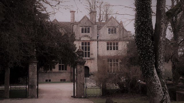
Edgeworth Manor

Edgeworth Manor is a Grade II* listed country house in Edgeworth, Gloucestershire, England. It was mentioned in the Domesday Book, when it was held by...

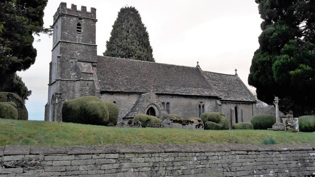
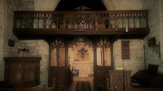
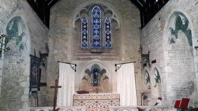
Church of St Mary, Edgeworth

The Anglican Church of St Mary at Edgeworth in the Cotswold District of Gloucestershire, England was built in 11th century. It is a grade I listed building...

St Kenelm's Church, Sapperton, Gloucestershire

St Kenelm's Church is a historic church in Sapperton, Gloucestershire in the care of The Churches Conservation Trust. It is listed Grade I on the National...

Daneway House

Daneway House is a grade I listed house in the parish of Bisley-with-Lypiatt but close to Sapperton in Gloucestershire, England.The house was built in...

Edgeworth, Gloucestershire

Edgeworth is a small village and civil parish in the English county of Gloucestershire. It is located east of Stroud, west of Cirencester and south of...

Daneway Banks SSSI

Daneway Banks (grid reference SO937034) is a 17-hectare (42-acre) biological Site of Special Scientific Interest in Gloucestershire, notified in 1954 and...

Sapperton Valley

Sapperton Valley (grid reference SO935035) is a 3.7-hectare (9.1-acre) nature reserve near Chalford in the Stroud district of Gloucestershire, England...

Nearby Amenities

Located within 500m of 51.741125,-2.0733075
Gloucester Beeches
Is In: Gloucestershire, England, UK
Place: locality
Lat/Long: 51.7430174/-2.0785281
Ford: yes
Lat/Long: 51.7431642/-2.0694259
The data included in this document is from www.openstreetmap.org. The data is made available under ODbL.

Have you been to Course Copse?

Leave your review of Course Copse below (or comments, questions and feedback).