High Beaumont Plantation
Wood, Forest in Northumberland
England
High Beaumont Plantation
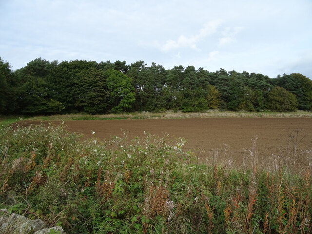
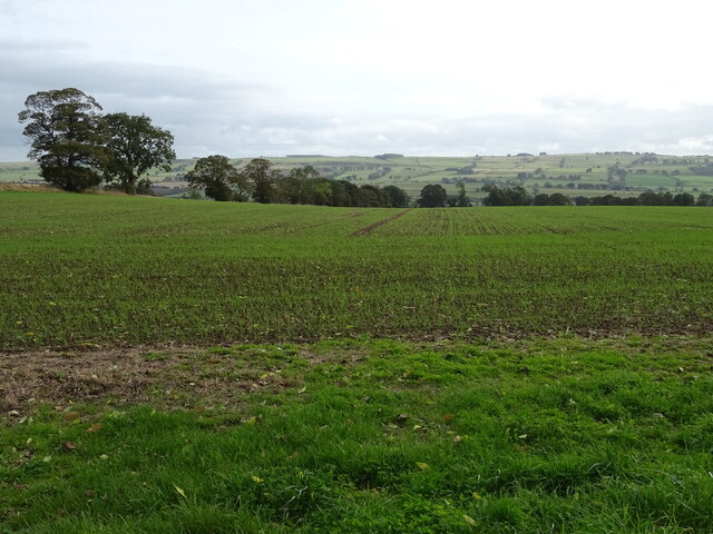
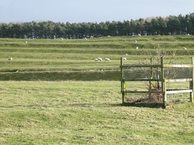
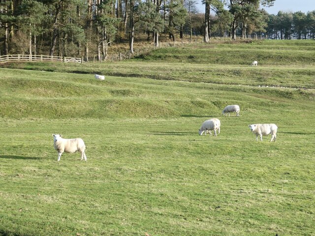
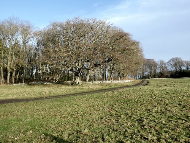
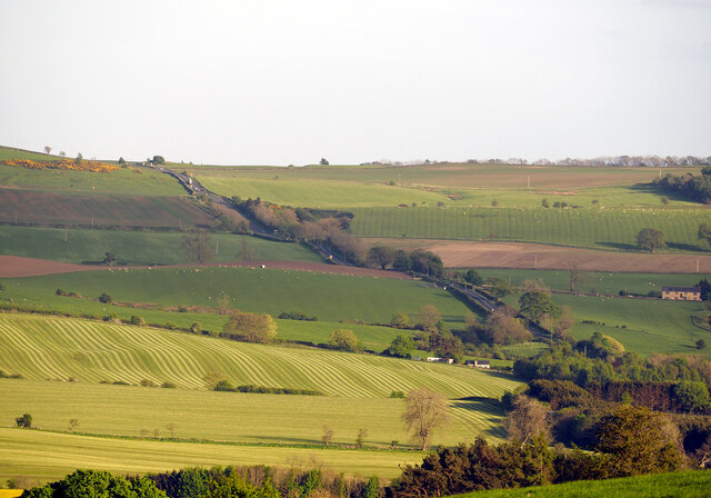
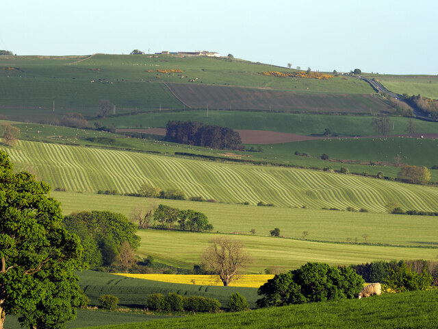
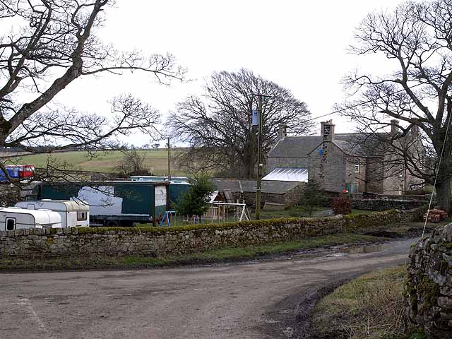
High Beaumont Plantation is a picturesque woodland located in the county of Northumberland, England. Situated in the northern part of the county, this plantation covers a vast area and is nestled within the stunning Northumberland countryside. The plantation is often referred to as a "wood" or "forest" due to its dense and plentiful tree cover.
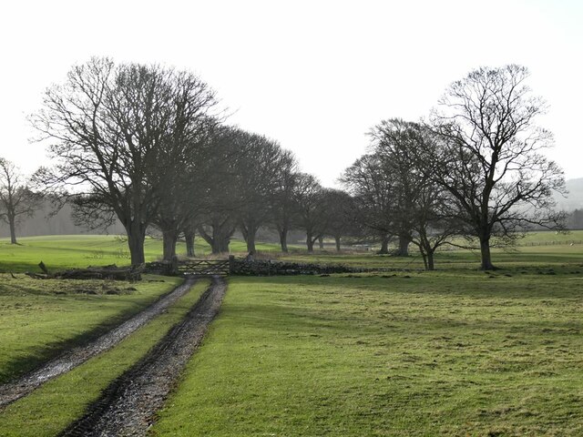
As one ventures into High Beaumont Plantation, they are greeted by a diverse range of tree species, including oak, beech, and pine. The tall, majestic trees create a tranquil and peaceful atmosphere, providing a haven for wildlife and nature enthusiasts alike. The woodland floor is adorned with a carpet of wildflowers, adding vibrant pops of color to the scenery.
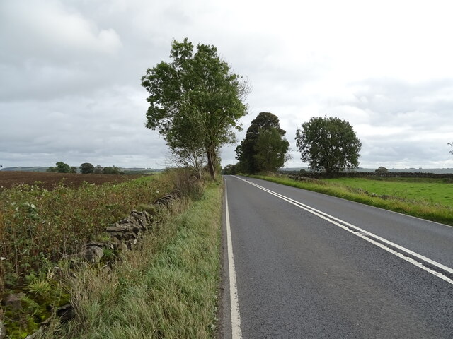
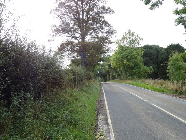
The plantation is crisscrossed by a network of walking trails, making it an ideal spot for outdoor activities such as hiking and birdwatching. The trails offer visitors an opportunity to explore the various habitats within the woodland, from open clearings to shaded glens. Along the way, one may encounter a variety of bird species, including woodpeckers, owls, and thrushes.
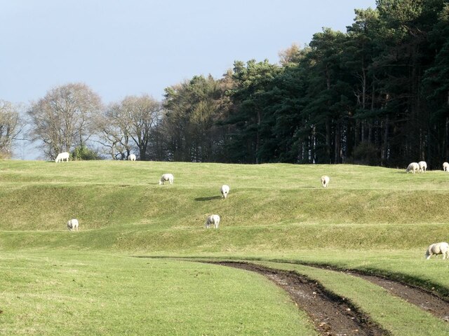
High Beaumont Plantation is also home to a rich array of wildlife, including deer, rabbits, and squirrels. Nature enthusiasts can observe these creatures in their natural habitat, adding to the enchantment of the woodland experience.
Overall, High Beaumont Plantation is a captivating woodland destination that offers a serene escape from the hustle and bustle of everyday life. With its diverse flora and fauna, scenic trails, and peaceful ambiance, it is a must-visit for anyone seeking a connection with nature in the heart of Northumberland.
If you have any feedback on the listing, please let us know in the comments section below.
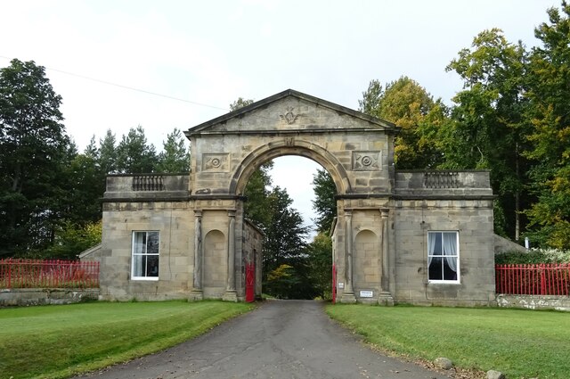
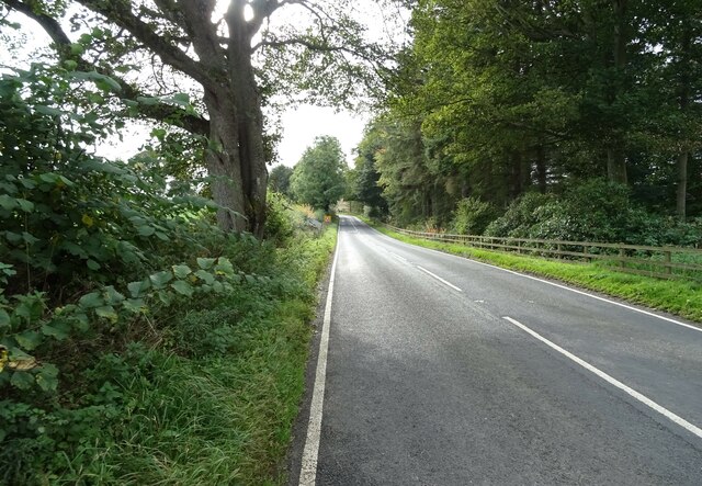
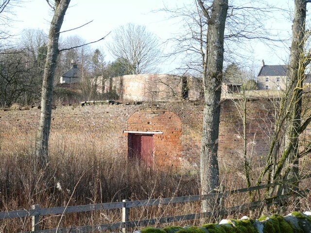
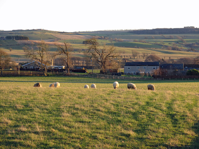
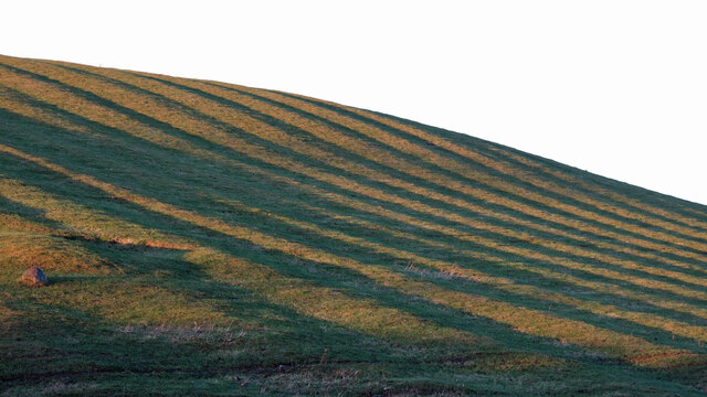
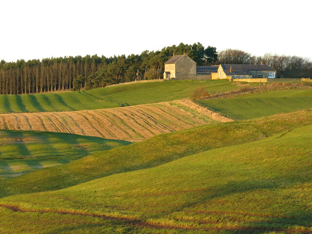
High Beaumont Plantation Images
Images are sourced within 2km of 55.059484/-2.0792333 or Grid Reference NY9573. Thanks to Geograph Open Source API. All images are credited.
High Beaumont Plantation is located at Grid Ref: NY9573 (Lat: 55.059484, Lng: -2.0792333)
Unitary Authority: Northumberland
Police Authority: Northumbria
What 3 Words
///lately.treaties.rules. Near Birtley, Northumberland
Nearby Locations
Related Wikis

Dere Street
Dere Street or Deere Street is a modern designation of a Roman road which ran north from Eboracum (York), crossing the Stanegate at Corbridge (Hadrian...

Colwell, Northumberland
Colwell is a hamlet in Northumberland, England. It is about 12 miles (19 km) to the north of Hexham. == Governance == Colwell is in the parliamentary constituency...

Chollerton
Chollerton is a village in Northumberland, England, on the A6079 road about six miles (10 km) to the north of Hexham, on the River North Tyne. Nearby villages...
Bingfield
Bingfield is a village and former civil parish, now in the parish of Whittington, in Northumberland, in England. It is situated to the north of Corbridge...

Chollerton railway station
Chollerton railway station served the village of Chollerton, Northumberland, England from 1859 to 1958 on the Border Counties Railway. == History == The...
Cooklaw
Cooklaw is a small settlement and (as Cocklaw) a former civil parish, now in the parish of Wall, in Northumberland, England. It is near the A6079 road...

Hallington Reservoirs
Hallington Reservoirs are located near the small village of Colwell, Northumberland, England on the B6342 road off the A68 road, and 7 miles (11 km) north...
Barrasford railway station
Barrasford railway station served the village of Barrasford, Northumberland, England from 1859 to 1958 on the Border Counties Railway. == History == The...
Have you been to High Beaumont Plantation?
Leave your review of High Beaumont Plantation below (or comments, questions and feedback).