Brownrigg Plantation

Wood, Forest in Northumberland

England

Brownrigg Plantation

Disused Timber Saw This abandoned timber saw has obviously seen better days.
Disused Timber Saw Credit: Ed Jennings

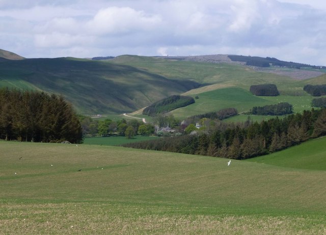
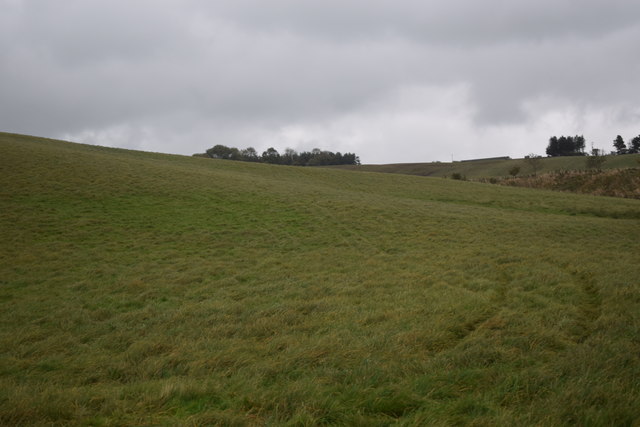
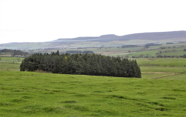
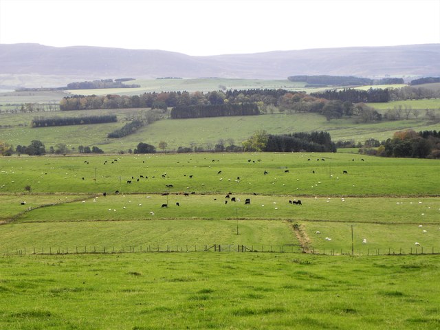
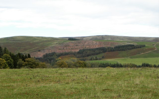
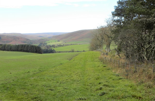
Brownrigg Plantation is a picturesque woodland located in the county of Northumberland, England. Situated in the heart of the county, this beautiful plantation spans over a vast area and is surrounded by the stunning Northumberland countryside.

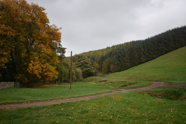
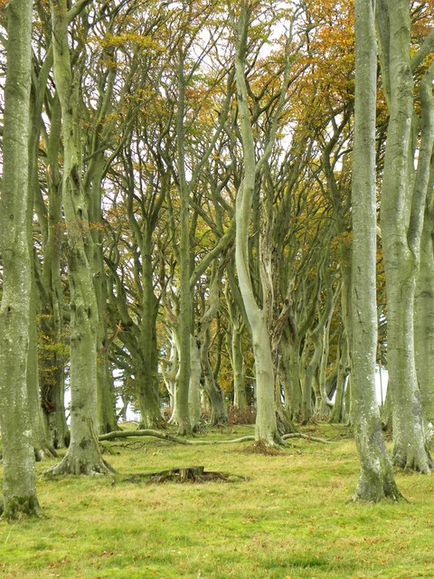
The woodland is mainly composed of tall and majestic trees, including oak, beech, and pine, which provide a dense and lush canopy. The plantation offers a peaceful and serene atmosphere, making it an ideal destination for nature enthusiasts and those seeking tranquility.

The extensive network of walking trails within Brownrigg Plantation allows visitors to explore the woodland at their own pace. These trails wind their way through the forest, offering stunning views of the surrounding landscape and an opportunity to observe the diverse wildlife that calls this woodland home. Birdwatchers will be delighted by the variety of species that can be spotted, including woodpeckers, owls, and various songbirds.

The plantation also boasts a rich history, as it was once a part of an estate dating back to the 18th century. It is believed that the woodland was used for timber production during this time, providing resources for the local community.

Today, Brownrigg Plantation is managed by the local forestry commission, ensuring its preservation and maintenance for future generations to enjoy. The plantation is easily accessible, with ample parking and well-maintained paths, making it a popular destination for both locals and tourists alike.

In conclusion, Brownrigg Plantation is a captivating woodland in Northumberland, offering a peaceful retreat for nature lovers. With its scenic beauty, diverse wildlife, and rich history, it provides a delightful experience for all who visit.

If you have any feedback on the listing, please let us know in the comments section below.

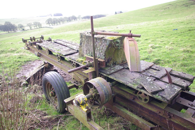
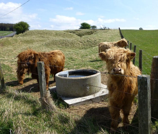
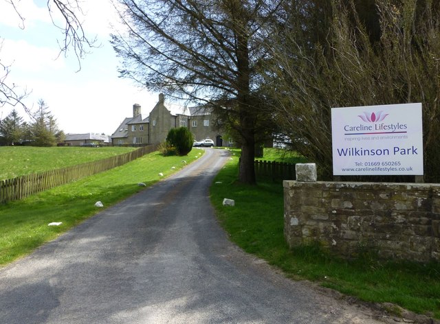
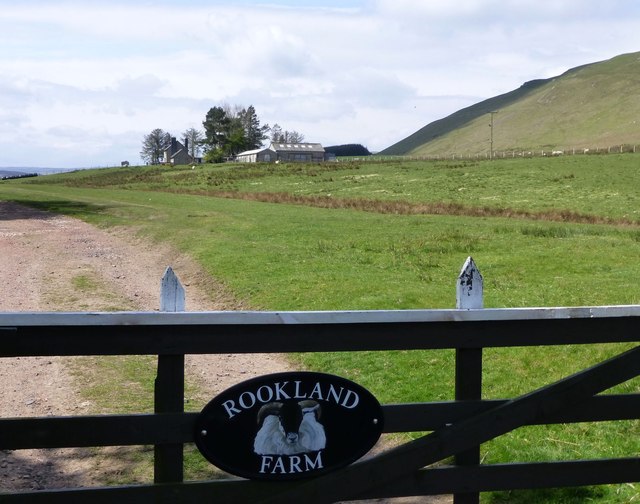
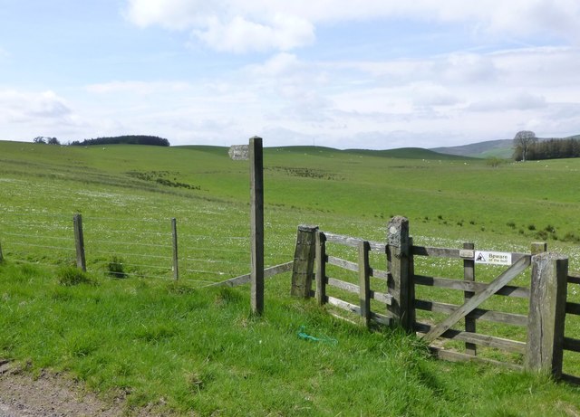
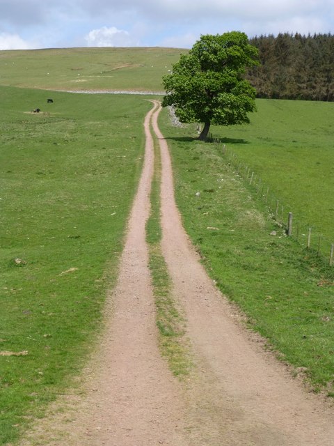
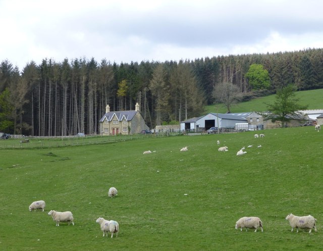
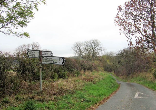
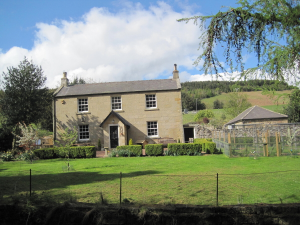
Brownrigg Plantation Images

Images are sourced within 2km of 55.35094/-2.0798634 or Grid Reference NT9506. Thanks to Geograph Open Source API. All images are credited.

Disused Timber Saw This abandoned timber saw has obviously seen better days.
Disused Timber Saw
This abandoned timber saw has obviously seen better days.
Cereal crop on slopes above Clennell Clennell in the valley with the white track used by the logging trucks removing timber from the Kidland Forest.
Cereal crop on slopes above Clennell
Clennell in the valley with the white track used by the logging trucks removing timber from the Kidland Forest.
Highland cattle In an old disused quarry that has been returned to rough pasture.
Highland cattle
In an old disused quarry that has been returned to rough pasture.
Wilkinson Park A well established 21 bed residential care home supporting people with learning disabilities. <span class="nowrap"><a title="http://carelinelifestyles.co.uk/our-homes/wilkinson-park" rel="nofollow ugc noopener" href="http://carelinelifestyles.co.uk/our-homes/wilkinson-park">Link</a><img style="margin-left:2px;" alt="External link" title="External link - shift click to open in new window" src="https://s1.geograph.org.uk/img/external.png" width="10" height="10"/></span>
Wilkinson Park
A well established 21 bed residential care home supporting people with learning disabilities. LinkExternal link
Stable Cottage In the hamlet of Newton.
Stable Cottage
In the hamlet of Newton.
Rookland Farm A sheep farm, judging by the symbol on the gate!
Rookland Farm
A sheep farm, judging by the symbol on the gate!
Public footpath to Newton Across sheep country.
Public footpath to Newton
Across sheep country.
Public bridleway to Puncherton Over the hills and far away!  Two and a half miles.
Public bridleway to Puncherton
Over the hills and far away! Two and a half miles.
Biddlestone Home Farm Sheep farming!
Biddlestone Home Farm
Sheep farming!
Fields south of Clennell Hall
Bridleway by Clennell Cottages East of Clennell Hall.
Bridleway by Clennell Cottages
East of Clennell Hall.
Across pasture to Square Wood Gentle hillside at Burradon Mains farm with a view to Square Wood and the valley of Thackwell Burn.
Across pasture to Square Wood
Gentle hillside at Burradon Mains farm with a view to Square Wood and the valley of Thackwell Burn.
Farmland at Burradon Mains Cattle and sheep in pastures below Burradon Mains farm.
Farmland at Burradon Mains
Cattle and sheep in pastures below Burradon Mains farm.
Beeches at Burradon Mains A plantation of mature beeches alongside the road above Burradon Mains.
Beeches at Burradon Mains
A plantation of mature beeches alongside the road above Burradon Mains.
Looking north from near Burradon Mains The view slightly west of north from the roadside above Burradon Mains. Some rather rough grazing land in the foreground with Harden Quarry in the distance.
Looking north from near Burradon Mains
The view slightly west of north from the roadside above Burradon Mains. Some rather rough grazing land in the foreground with Harden Quarry in the distance.
Happy pigs These 'spotty' pigs appear to be Oxfords, but they are perfectly happy rooting around in rural Northumberland. A public footpath crosses this field, but I wouldn't fancy trying it after the pigs had churned it up.
Happy pigs
These 'spotty' pigs appear to be Oxfords, but they are perfectly happy rooting around in rural Northumberland. A public footpath crosses this field, but I wouldn't fancy trying it after the pigs had churned it up.
Looking west from opposite Wilkinson Park Looking down a field at the southern end of a shelter belt. The view extends towards the Coquet valley at Alwinton.
Looking west from opposite Wilkinson Park
Looking down a field at the southern end of a shelter belt. The view extends towards the Coquet valley at Alwinton.
Road junction above Sharperton Many rural roads in Northumberland retain the old and attractive cast iron signposts, but if there was ever one here of that type it has been replaced by a more mundane modern style.
Road junction above Sharperton
Many rural roads in Northumberland retain the old and attractive cast iron signposts, but if there was ever one here of that type it has been replaced by a more mundane modern style.
Show me another place!

Brownrigg Plantation is located at Grid Ref: NT9506 (Lat: 55.35094, Lng: -2.0798634)

Unitary Authority: Northumberland

Police Authority: Northumbria

What 3 Words

///reclaim.drilled.ironic. Near Rothbury, Northumberland

Nearby Locations

Brownrigg Plantation

Related Wikis

Biddlestone Hall

Biddlestone Hall was a large country house at Biddlestone in Northumberland. == History == The Georgian style mansion was built for the Selby family about...

Biddlestone Chapel

Biddlestone Chapel is a redundant Roman Catholic chapel in Biddlestone, Northumberland, England. It is recorded in the National Heritage List for England...

Clennell Hall

Clennell Hall is an historic manor house, now operated as a country hotel, situated at Clennell, near Alwinton, Northumberland, England. It is a Grade...

Biddlestone

Biddlestone is a village and civil parish in Northumberland, England. It is about 14 miles (23 km) to the west of Alnwick. In the early 21st Century several...

Harbottle

Harbottle is a village and civil parish in Northumberland, England about 10 miles (16 km) south-east of the Scottish border, in the southeastern part of...

Harbottle Castle

Harbottle Castle is a ruined medieval castle situated at the west end of the village of Harbottle, Northumberland, England, 9 miles (14 km) west-north...

Clennell, Northumberland

Clennell is a small village and as Clennel, a former civil parish, now in the parish of Alwinton, in Northumberland, England. It is about 1 mile (1.6 km...

Sharperton

Sharperton is a small settlement and former civil parish, now in the parish of Harbottle, in Northumberland, England. Sharperton is the site of a deserted...

Have you been to Brownrigg Plantation?

Leave your review of Brownrigg Plantation below (or comments, questions and feedback).