Hen Wood
Wood, Forest in Gloucestershire Stroud
England
Hen Wood
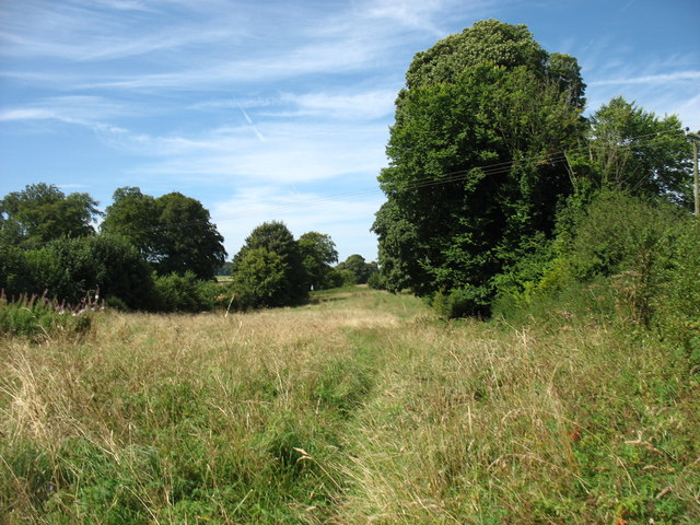
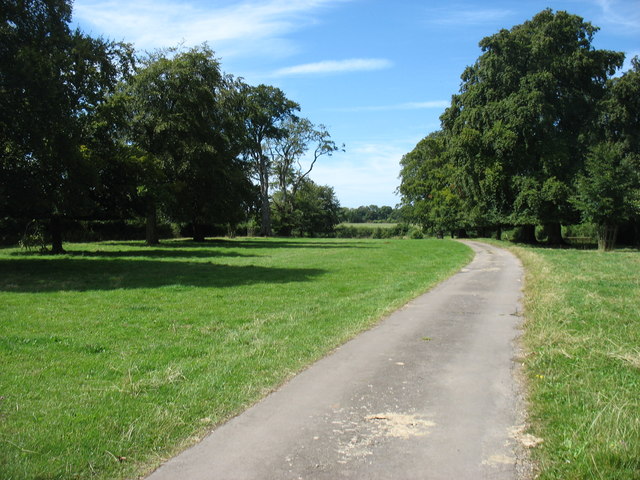
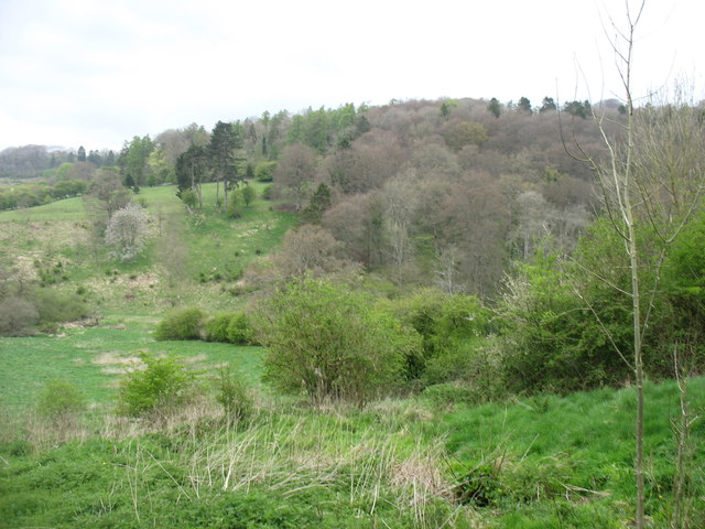
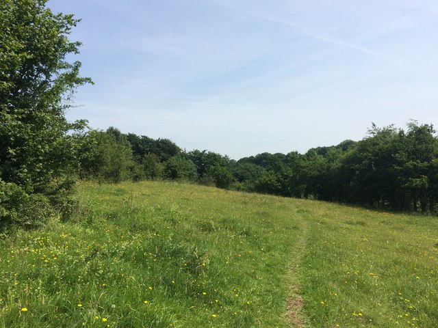
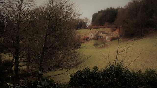
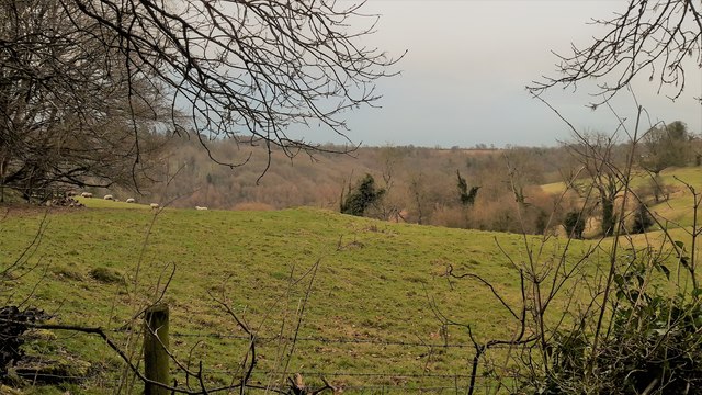
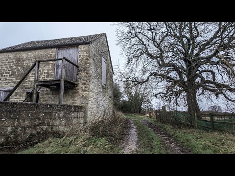
Hen Wood is a quaint and picturesque forest located in the county of Gloucestershire, England. Covering an area of approximately 50 acres, it is nestled within the enchanting surroundings of the Forest of Dean. The wood is predominantly made up of various species of deciduous trees, including oak, beech, and ash, creating a diverse and vibrant ecosystem.
The forest is a haven for wildlife enthusiasts and nature lovers alike, offering an abundance of flora and fauna. It is home to a wide range of bird species, including woodpeckers, owls, and various songbirds. Additionally, small mammals such as foxes, badgers, and rabbits can be spotted within the wood. The forest floor is adorned with a carpet of bluebells and wild garlic during the spring, creating a breathtaking sight.
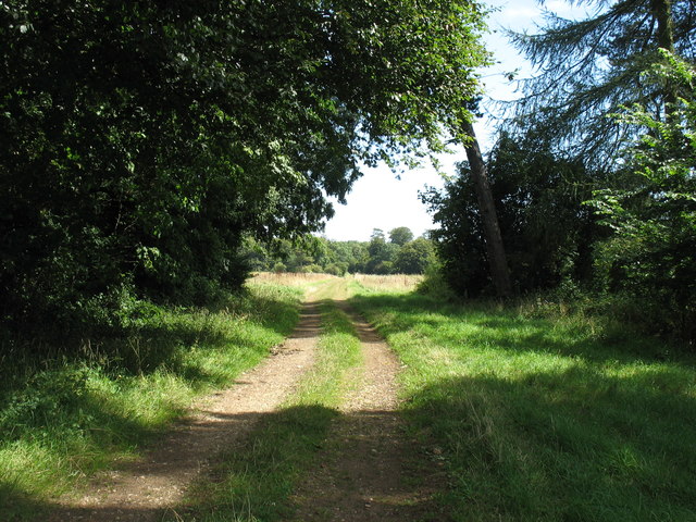
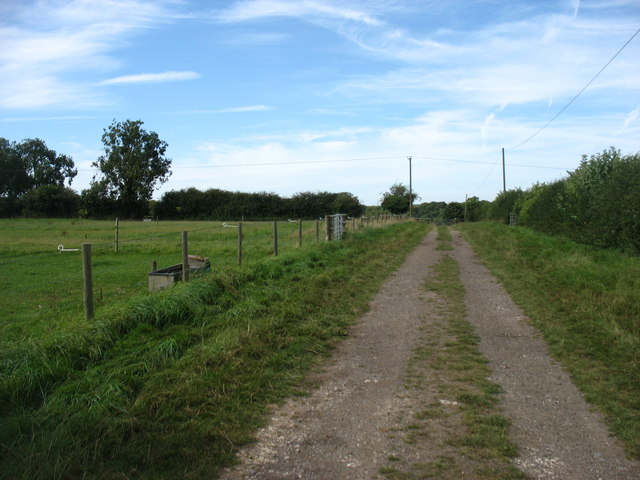
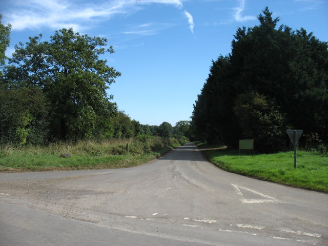
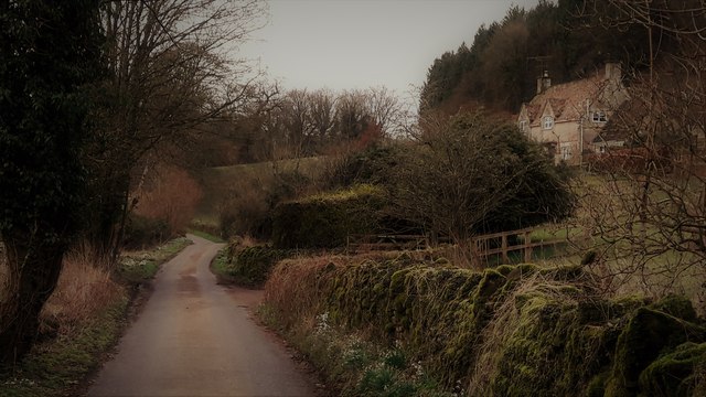
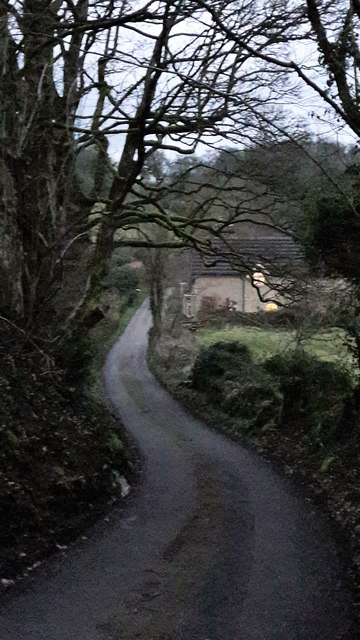
Hen Wood provides an excellent opportunity for outdoor activities, with numerous walking trails crisscrossing the forest. These paths cater to individuals of all abilities, from leisurely strolls to more challenging hikes. Visitors can immerse themselves in the peaceful ambiance of the woodland, enjoying the sights and sounds of nature as they explore the winding trails.
The forest is well-maintained, with clear signposting and information boards providing insight into the wood's history and ecology. It also benefits from ample parking facilities and picnic areas, making it an ideal destination for families and groups. Hen Wood, Gloucestershire, is a hidden gem within the Forest of Dean, offering a tranquil retreat for those seeking natural beauty and a connection with the great outdoors.
If you have any feedback on the listing, please let us know in the comments section below.
Hen Wood Images
Images are sourced within 2km of 51.737151/-2.0734024 or Grid Reference SO9504. Thanks to Geograph Open Source API. All images are credited.


Hen Wood is located at Grid Ref: SO9504 (Lat: 51.737151, Lng: -2.0734024)
Administrative County: Gloucestershire
District: Stroud
Police Authority: Gloucestershire
What 3 Words
///submitted.dearest.informs. Near Coates, Gloucestershire
Nearby Locations
Related Wikis
Sapperton, Gloucestershire
Sapperton is a village and civil parish in the Cotswold District of Gloucestershire in England, about 4.5 miles (7.2 km) west of Cirencester. It is most...

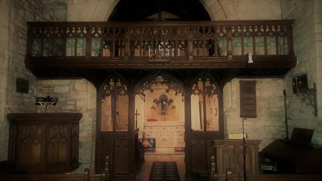
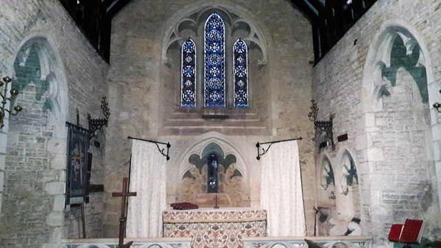
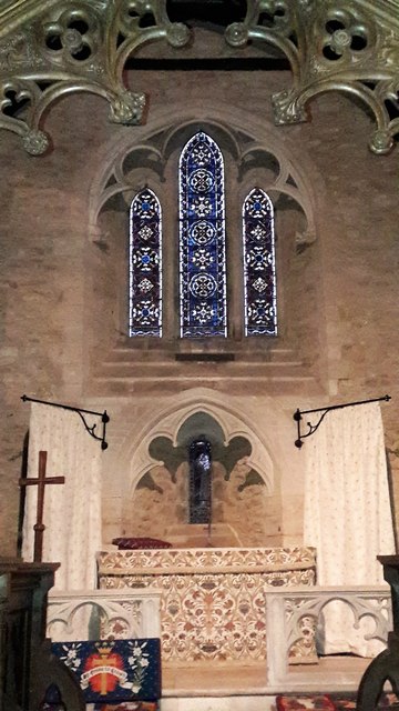
St Kenelm's Church, Sapperton, Gloucestershire
St Kenelm's Church is a historic church in Sapperton, Gloucestershire in the care of The Churches Conservation Trust. It is listed Grade I on the National...

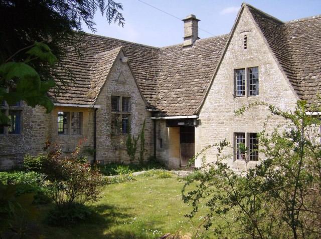
Daneway House
Daneway House is a grade I listed house in the parish of Bisley-with-Lypiatt but close to Sapperton in Gloucestershire, England.The house was built in...

Daneway Banks SSSI
Daneway Banks (grid reference SO937034) is a 17-hectare (42-acre) biological Site of Special Scientific Interest in Gloucestershire, notified in 1954 and...

Sapperton Valley
Sapperton Valley (grid reference SO935035) is a 3.7-hectare (9.1-acre) nature reserve near Chalford in the Stroud district of Gloucestershire, England...

Siccaridge Wood
Siccaridge Wood (grid reference SO935035) is a 26.6-hectare (66-acre) nature reserve in Gloucestershire. The site is listed in the ‘Stroud District’ Local...

Edgeworth Manor
Edgeworth Manor is a Grade II* listed country house in Edgeworth, Gloucestershire, England. It was mentioned in the Domesday Book, when it was held by...

Church of St Mary, Edgeworth
The Anglican Church of St Mary at Edgeworth in the Cotswold District of Gloucestershire, England was built in 11th century. It is a grade I listed building...
Related Videos
A Morning Walk Under a Grey Blanket of Cloud | COTSWOLDS
So, today we are out and about walking in the Cotswold Hamlet of Far Oakridge, which is one of five hamlets derived from the ...


Sapperton Short #aerialphotography #canals #canalbridge #aerialvideography #boat #thames #droneshots
What Lies Beneath the Cotswolds - The Sapperton Tunnel To become a member please follow ...

Mind Blowing Discoveries in Hidden Tunnel Secrets and Unusual Formations Revealed!
What Lies Beneath the Cotswolds - The Sapperton Tunnel To become a member please follow ...
Nearby Amenities
Located within 500m of 51.737151,-2.0734024Have you been to Hen Wood?
Leave your review of Hen Wood below (or comments, questions and feedback).