Alans Plantation

Wood, Forest in Yorkshire Craven

England

Alans Plantation

Pastureland hosting sheep and lambs Looking south-westward from Fleets Lane towards Sunhill Gill Plantation.
Pastureland hosting sheep and lambs Credit: Peter Wood

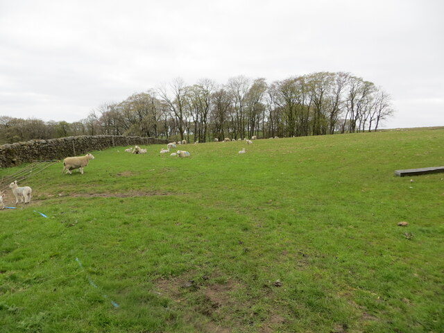
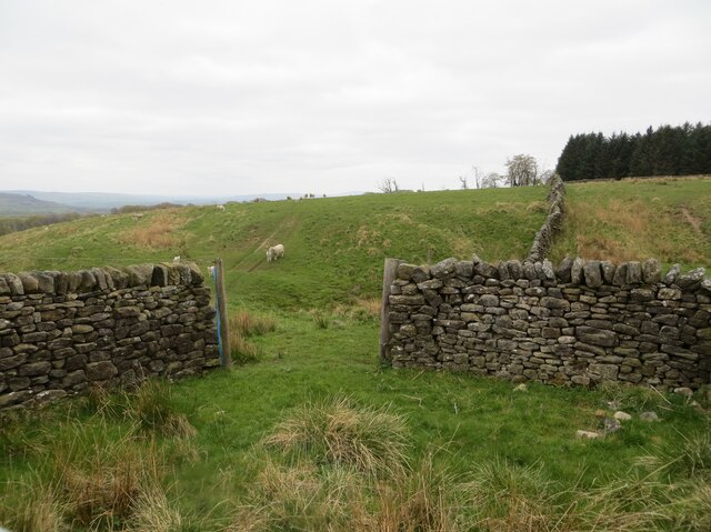
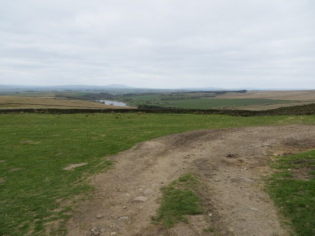
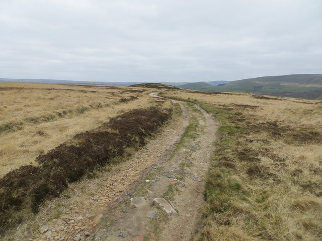
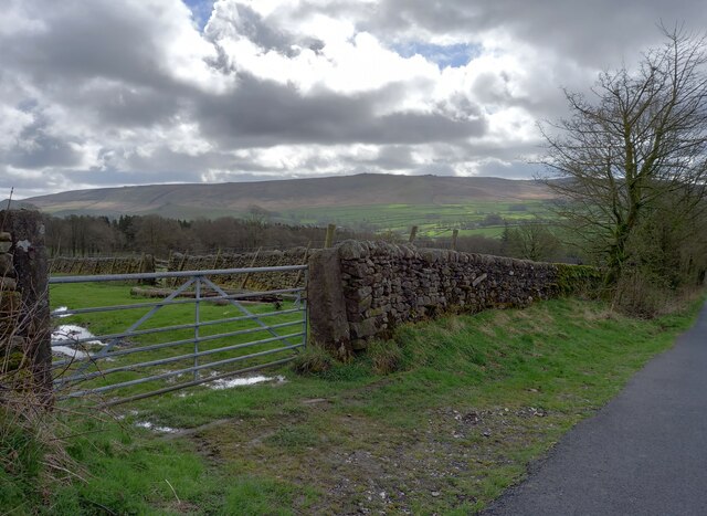
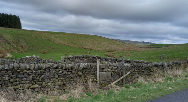
Alan's Plantation is a picturesque woodland located in Yorkshire, England. Situated in the heart of the county, this enchanting forest covers an area of approximately 100 acres. With its abundant greenery and diverse plant life, the plantation offers a serene and tranquil escape from the hustle and bustle of city life.

The woodland is home to a variety of tree species, including oak, beech, ash, and birch. These towering trees create a dense canopy that provides shelter for an array of wildlife, making it a haven for nature enthusiasts and birdwatchers. Visitors can spot various bird species, such as woodpeckers, tits, and finches, as well as small mammals like squirrels and rabbits.

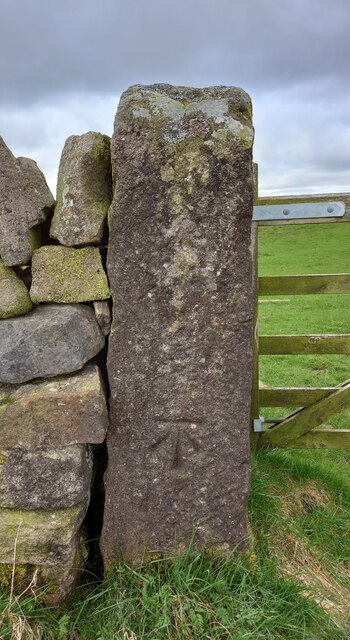
Several well-maintained trails wind through the plantation, allowing visitors to explore the forest at their own pace. These paths are perfect for hiking, jogging, or simply taking a leisurely stroll while immersing oneself in the natural beauty that surrounds them. The woodland is also equipped with picnic areas and benches, providing an opportunity for visitors to relax and enjoy a meal amidst the serene atmosphere.

Alan's Plantation is not only a place of natural beauty but also plays an important role in environmental conservation. The woodland serves as a carbon sink, absorbing carbon dioxide from the atmosphere and mitigating the impacts of climate change. Additionally, the plantation is managed sustainably, with careful consideration given to maintaining a healthy ecosystem and promoting biodiversity.

Overall, Alan's Plantation is a true gem in the Yorkshire countryside, offering a peaceful retreat for those seeking solace in nature and a chance to appreciate the wonders of the natural world.

If you have any feedback on the listing, please let us know in the comments section below.

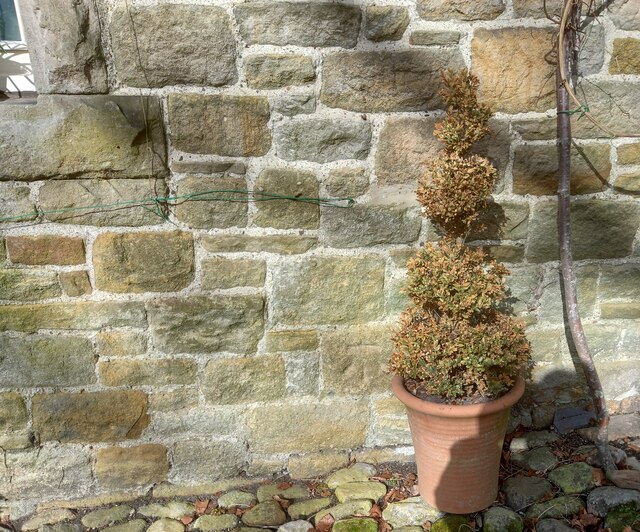
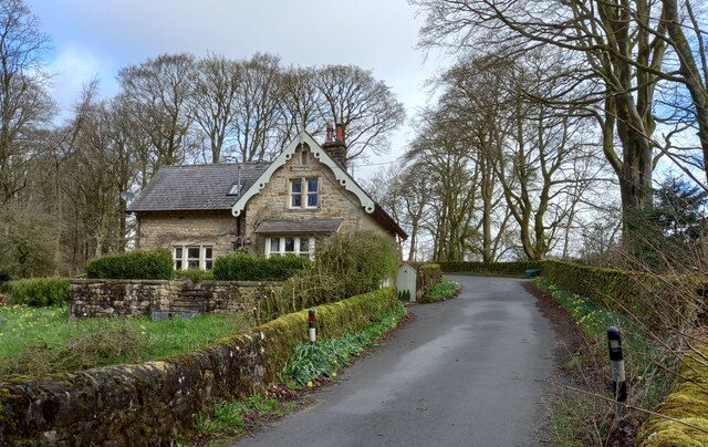
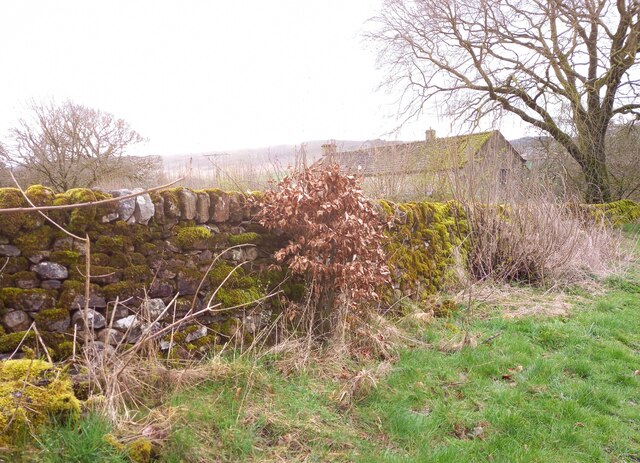
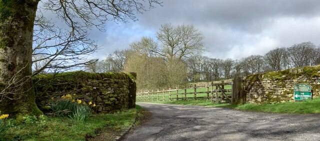
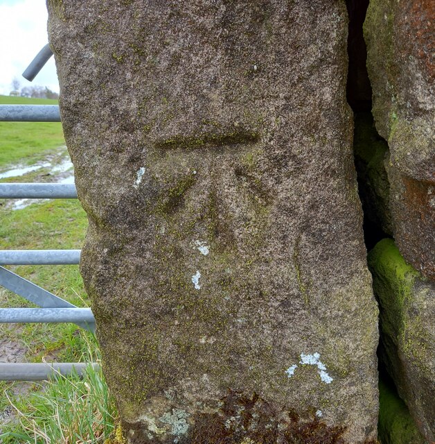
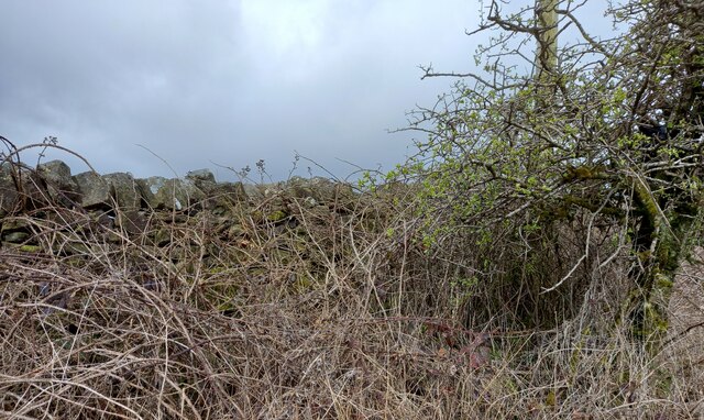
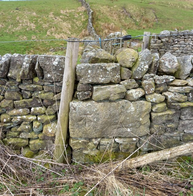
Alans Plantation Images

Images are sourced within 2km of 54.040693/-2.0775364 or Grid Reference SD9560. Thanks to Geograph Open Source API. All images are credited.

Pastureland hosting sheep and lambs Looking south-westward from Fleets Lane towards Sunhill Gill Plantation.
Pastureland hosting sheep and lambs
Looking south-westward from Fleets Lane towards Sunhill Gill Plantation.
Sheepfold with access to and from upland pasture Looking south-westward from Boss Moor Lane.
Sheepfold with access to and from upland pasture
Looking south-westward from Boss Moor Lane.
Wall enclosed upland pasture Looking south-westward from Boss Moor Lane. Winterburn Reservoir is visible in the far distance.
Wall enclosed upland pasture
Looking south-westward from Boss Moor Lane. Winterburn Reservoir is visible in the far distance.
Track crossing the open expanse of Boss Moor Looking northward.
Track crossing the open expanse of Boss Moor
Looking northward.
Track crossing Boss Moor Looking eastward.
Track crossing Boss Moor
Looking eastward.
Ordnance Survey Cut Mark This mark can be found on a gatepost near Sunhill beside Fleets/Boss Moor Lane.
The recorded details give a height of 252.6396 metres above sea level.
For more detail see : <span class="nowrap"><a title="https://www.bench-marks.org.uk/bm42978" rel="nofollow ugc noopener" href="https://www.bench-marks.org.uk/bm42978">Link</a><img style="margin-left:2px;" alt="External link" title="External link - shift click to open in new window" src="https://s1.geograph.org.uk/img/external.png" width="10" height="10"/></span>
Ordnance Survey Cut Mark
This mark can be found on a gatepost near Sunhill beside Fleets/Boss Moor Lane. The recorded details give a height of 252.6396 metres above sea level. For more detail see : LinkExternal link
Ordnance Survey Cut Mark This mark can be found on the wall of a sheepfold beside Boss Moor Lane.
The recorded details give a height of 281.5042 metres above sea level.
For more detail see : <span class="nowrap"><a title="https://www.bench-marks.org.uk/bm42977" rel="nofollow ugc noopener" href="https://www.bench-marks.org.uk/bm42977">Link</a><img style="margin-left:2px;" alt="External link" title="External link - shift click to open in new window" src="https://s1.geograph.org.uk/img/external.png" width="10" height="10"/></span>
Ordnance Survey Cut Mark
This mark can be found on the wall of a sheepfold beside Boss Moor Lane. The recorded details give a height of 281.5042 metres above sea level. For more detail see : LinkExternal link
Ordnance Survey Cut Mark This mark can be found on a gatepost at Boss Moor,
The recorded details give a height of 317.9308 metres above sea level.
For more detail see : <span class="nowrap"><a title="https://www.bench-marks.org.uk/bm42973" rel="nofollow ugc noopener" href="https://www.bench-marks.org.uk/bm42973">Link</a><img style="margin-left:2px;" alt="External link" title="External link - shift click to open in new window" src="https://s1.geograph.org.uk/img/external.png" width="10" height="10"/></span>
Ordnance Survey Cut Mark
This mark can be found on a gatepost at Boss Moor, The recorded details give a height of 317.9308 metres above sea level. For more detail see : LinkExternal link
Fleets, Fleets Cottage The benchmark is cut into the east facing wall of the cottage, which is on the west side of the lane.
Fleets, Fleets Cottage
The benchmark is cut into the east facing wall of the cottage, which is on the west side of the lane.
Fleets, Fleets Cottage There is a benchmark cut into the east facing wall of the cottage, which is on the west side of the lane.
Fleets, Fleets Cottage
There is a benchmark cut into the east facing wall of the cottage, which is on the west side of the lane.
Fleets, Fleets Lane According to the OS benchmark database there is a pivot benchmark at this location cut into the roadside wall on the east side of the lane. Nothing was found.
Fleets, Fleets Lane
According to the OS benchmark database there is a pivot benchmark at this location cut into the roadside wall on the east side of the lane. Nothing was found.
Sunhill Centre, Fleets Lane According to the OS benchmark database there is a benchmark cut into a gatepost at the drive entrance. Nothing was found.
Sunhill Centre, Fleets Lane
According to the OS benchmark database there is a benchmark cut into a gatepost at the drive entrance. Nothing was found.
Fleets, Boss Moor Lane The benchmark is cut into a right hand gatepost at a field entrance on the east side of the lane.
Fleets, Boss Moor Lane
The benchmark is cut into a right hand gatepost at a field entrance on the east side of the lane.
Fleets, Boss Moor Lane There is a benchmark cut into the right hand gatepost at the field entrance on the east side of the lane.
Fleets, Boss Moor Lane
There is a benchmark cut into the right hand gatepost at the field entrance on the east side of the lane.
Fleets, Boss Moor Lane According to the OS benchmark database there is a benchmark cut into the roadside wall at this location on the west side of the lane. No search was made due to the thick brambles guarding the wall.
Fleets, Boss Moor Lane
According to the OS benchmark database there is a benchmark cut into the roadside wall at this location on the west side of the lane. No search was made due to the thick brambles guarding the wall.
Fleets, Boss Moor Lane The benchmark is cut into the roadside wall on the west side of the lane at a wall junction.
Fleets, Boss Moor Lane
The benchmark is cut into the roadside wall on the west side of the lane at a wall junction.
Fleets, Boss Moor Lane There is a benchmark cut into the roadside wall on the west side of the lane at a wall junction.
Fleets, Boss Moor Lane
There is a benchmark cut into the roadside wall on the west side of the lane at a wall junction.
Fleets, Boss Moor Lane The benchmark is cut into a left hand gatepost on the west side of the lane.
Fleets, Boss Moor Lane
The benchmark is cut into a left hand gatepost on the west side of the lane.
Show me another place!

Alans Plantation is located at Grid Ref: SD9560 (Lat: 54.040693, Lng: -2.0775364)

Division: West Riding

Administrative County: North Yorkshire

District: Craven

Police Authority: North Yorkshire

What 3 Words

///boils.motoring.rivals. Near Grassington, North Yorkshire

Related Wikis

Winterburn Reservoir

Winterburn Reservoir is located near the village of Winterburn in Malhamdale, North Yorkshire, England. It was constructed between 1885 and 1893 by Leeds...

Rylstone railway station

Rylstone railway station was a railway station that served the small village of Rylstone in North Yorkshire, England. It was built by the Yorkshire Dales...

Winterburn

Winterburn is a village in the Craven district of North Yorkshire, England. It is about 5 miles (8 km) south west of Grassington. Winterburn Reservoir...

Hetton, North Yorkshire

Hetton is a small Dales village in the civil parish of Hetton-cum-Bordley, in the North Yorkshire district of North Yorkshire, England, situated 5.75 miles...

Rylstone

Rylstone is a village and civil parish in the Craven district of North Yorkshire, England. It is situated very near to Cracoe and about 6 miles south west...

St Peter's Church, Rylstone

St Peter's Church is in the village of Rylstone, North Yorkshire, England. It is an active Anglican parish church in the deanery of Skipton, the archdeaconry...

Cracoe

Cracoe is a small village and civil parish in the Craven district of North Yorkshire, England. It is situated near to Rylstone and about 6 miles south...

Swinden Quarry

Swinden Quarry is 0.62 miles (1 km) north of the village of Cracoe, and 1.9 miles (3 km) south-west of Grassington in North Yorkshire, England. It is owned...

Nearby Amenities

Located within 500m of 54.040693,-2.0775364
Bench
Lat/Long: 54.0424577/-2.0765864
Bench
Lat/Long: 54.0415448/-2.0758252
Moor Share
Fixme: move this name to field/heath outline - need to inspact the map lying to north of OS sheet 150, publ 1853
Place: locality
Source: OS sheet 150, publ 1853
Lat/Long: 54.0372519/-2.0777206
The data included in this document is from www.openstreetmap.org. The data is made available under ODbL.

Have you been to Alans Plantation?

Leave your review of Alans Plantation below (or comments, questions and feedback).