Poor's Wood

Wood, Forest in Gloucestershire Stroud

England

Poor's Wood

The lane to Edgeworth
The lane to Edgeworth Credit: David Purchase

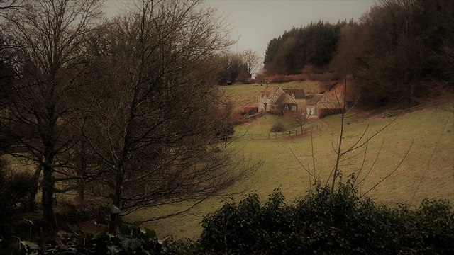
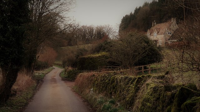
Poor's Wood is a charming woodland located in the county of Gloucestershire, England. Spanning over an area of approximately 10 acres, this forest is renowned for its natural beauty and diverse ecosystem. Situated near the village of Gloucester, it attracts nature enthusiasts, hikers, and locals seeking tranquility.

The woodland's name, "Poor's Wood," is derived from the historical use of the land as a source of firewood for the less fortunate members of the community. Today, it stands as a protected site, managed by local conservation authorities to preserve its unique flora and fauna.

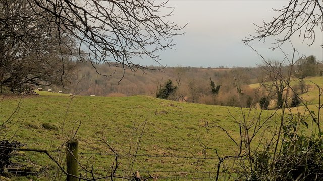
The wood is predominantly composed of native broadleaf trees, including oak, beech, and ash, interspersed with smaller species such as holly and hazel. The dense canopy provides shade and a sheltered environment for a variety of wildlife, making it an ideal habitat for birds, mammals, and insects.

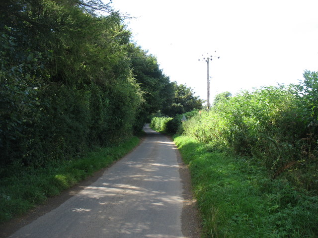
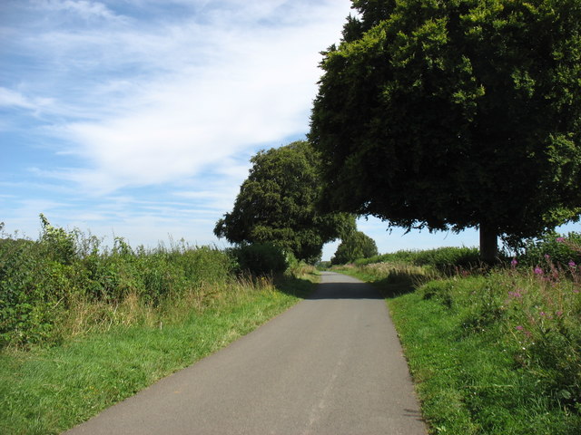
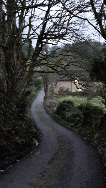
Visitors can explore the woodland through a network of well-maintained trails that wind through the trees. These paths offer glimpses of the enchanting natural features, including a babbling stream that meanders through the forest floor. In spring, the forest floor comes alive with a vibrant carpet of bluebells, creating a breathtaking sight.

Poor's Wood is a popular destination for outdoor activities such as picnicking, birdwatching, and photography. It also serves as an educational resource, with guided nature walks and workshops organized by local conservation groups to promote awareness and appreciation for the region's rich biodiversity.

Overall, Poor's Wood offers a peaceful escape from the hustle and bustle of everyday life, providing a haven for nature lovers and a testament to the importance of preserving and protecting our natural heritage.

If you have any feedback on the listing, please let us know in the comments section below.
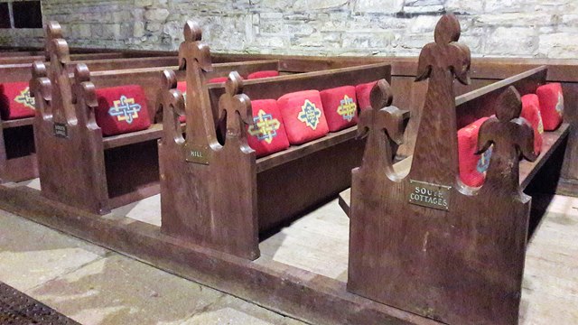
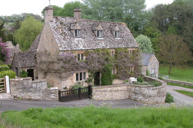
Poor's Wood Images

Images are sourced within 2km of 51.769132/-2.0738892 or Grid Reference SO9407. Thanks to Geograph Open Source API. All images are credited.

The lane to Edgeworth
Crabtree Lane Heading for the Duntisbournes.
Crabtree Lane
Heading for the Duntisbournes.
Edgeworth, the valley from the top of School Lane School Lane connects the two clusters of Edgeworth through a steep combe.
Edgeworth, the valley from the top of School Lane
School Lane connects the two clusters of Edgeworth through a steep combe.
Pastures at Edgeworth Looking from School Lane to the far hillside of the upper Frome valley.
Pastures at Edgeworth
Looking from School Lane to the far hillside of the upper Frome valley.
School Lane, Edgeworth
School Lane, Edgeworth Looking north from close to the church and manor house end of the lane.
School Lane, Edgeworth
Looking north from close to the church and manor house end of the lane.
Edgeworth Manor The west front, facing the church, dates from the end of the nineteenth century.
Edgeworth Manor
The west front, facing the church, dates from the end of the nineteenth century.
St Mary's church, Edgeworth
St Mary, Edgeworth St Mary's has a Saxon and Norman nave and was drastically restored in 1869-72 with a rood screen added in 1885.
St Mary, Edgeworth
St Mary's has a Saxon and Norman nave and was drastically restored in 1869-72 with a rood screen added in 1885.
Rood screen and loft in St Mary's, Edgeworth Dating from 1885, the deeply cusped tracery echoes the stone chancel rere-arches of 1872.
Rood screen and loft in St Mary's, Edgeworth
Dating from 1885, the deeply cusped tracery echoes the stone chancel rere-arches of 1872.
Chancel at St Mary, Edgeworth The Victorian east window sits above a tiny Norman slit window with 1957 stained glass by the local artist Edward Payne.  All the chancel windows have rere-arches, as do the sedilia, piscina on the right.  A formidable Victorian performance, but what a pity that it extended to scraping the walls.
Chancel at St Mary, Edgeworth
The Victorian east window sits above a tiny Norman slit window with 1957 stained glass by the local artist Edward Payne. All the chancel windows have rere-arches, as do the sedilia, piscina on the right. A formidable Victorian performance, but what a pity that it extended to scraping the walls.
Cusping in St Mary's Two windows, an altar rail and a rood screen all decorated the same way.
Cusping in St Mary's
Two windows, an altar rail and a rood screen all decorated the same way.
Mediaeval stained glass in the chancel of St Mary's Edgeworth
Nave bench ends in St Mary's, Edgeworth From the restoration of 1869-72.  They are labelled with names of estate properties, allocating where the estate staff were to sit.  The elongated poppy heads are an individual touch.
Nave bench ends in St Mary's, Edgeworth
From the restoration of 1869-72. They are labelled with names of estate properties, allocating where the estate staff were to sit. The elongated poppy heads are an individual touch.
Pews in St Mary's, Edgeworth
The Garden at Miserden: Garden requisites defying gravity on the tearoom wall
The Garden at Miserden: Entrance to the walled garden
The Garden at Miserden: Mixed borders
Show me another place!

Poor's Wood is located at Grid Ref: SO9407 (Lat: 51.769132, Lng: -2.0738892)

Administrative County: Gloucestershire

District: Stroud

Police Authority: Gloucestershire

What 3 Words

///visions.conjured.loss. Near Chalford, Gloucestershire

Related Wikis

Miserden Castle

Miserden Castle was a castle near the village of Miserden in Gloucestershire, England. The castle is a large motte and bailey Norman castle, built before...

Edgeworth, Gloucestershire

Edgeworth is a small village and civil parish in the English county of Gloucestershire. It is located east of Stroud, west of Cirencester and south of...

Miserden War Memorial

Miserden War Memorial is a First World War memorial in the village of Miserden, near Stroud, in Gloucestershire, south-western England. The memorial, designed...

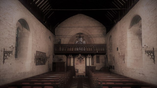
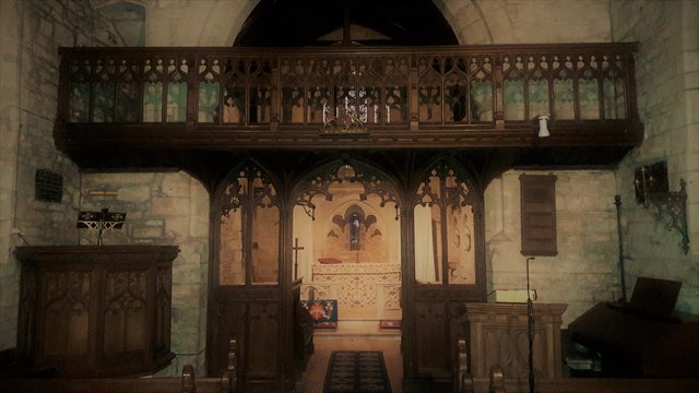
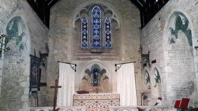
Church of St Mary, Edgeworth

The Anglican Church of St Mary at Edgeworth in the Cotswold District of Gloucestershire, England was built in 11th century. It is a grade I listed building...

Edgeworth Manor

Edgeworth Manor is a Grade II* listed country house in Edgeworth, Gloucestershire, England. It was mentioned in the Domesday Book, when it was held by...

Duntisbourne Abbots

Duntisbourne Abbots is a village and civil parish located in the English county of Gloucestershire. Duntisbourne Abbots forms part of the Cotswold District...

Winstone

Winstone is a village and civil parish in the English county of Gloucestershire. The population taken at the 2011 census was 270.Winstone forms part of...

Davenport House, Duntisbourne Abbots

Davenport House is an historic building in the English village of Duntisbourne Abbots, Gloucestershire. Located on the eastern side of the village, it...

Nearby Amenities

Located within 500m of 51.769132,-2.0738892
Parson Hill
Natural: peak
Source: NPE
Lat/Long: 51.7690425/-2.074758
Power: pole
Lat/Long: 51.7711803/-2.0762378
Power: pole
Lat/Long: 51.771011/-2.0732015
Power: pole
Lat/Long: 51.7708716/-2.0718456
Power: pole
Lat/Long: 51.7712417/-2.0775225
Power: pole
Lat/Long: 51.7713537/-2.0792901
Power: pole
Lat/Long: 51.7710923/-2.0746861
Power: pole
Lat/Long: 51.7707031/-2.0701719
Power: pole
Lat/Long: 51.7705529/-2.0683525
Power: pole
Lat/Long: 51.7689714/-2.0672943
Power: pole
Lat/Long: 51.7697303/-2.0678396
Power: pole
Lat/Long: 51.7683325/-2.0668684
The data included in this document is from www.openstreetmap.org. The data is made available under ODbL.

Have you been to Poor's Wood?

Leave your review of Poor's Wood below (or comments, questions and feedback).