Broom Wood
Wood, Forest in Cheshire
England
Broom Wood
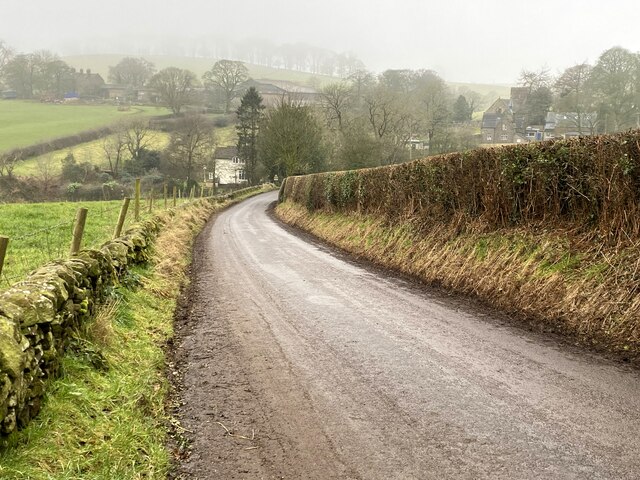
Broom Wood is a picturesque woodland located in the county of Cheshire, England. Spread across a vast area, it is considered one of the most enchanting woods in the region and is a popular destination for nature lovers and outdoor enthusiasts.
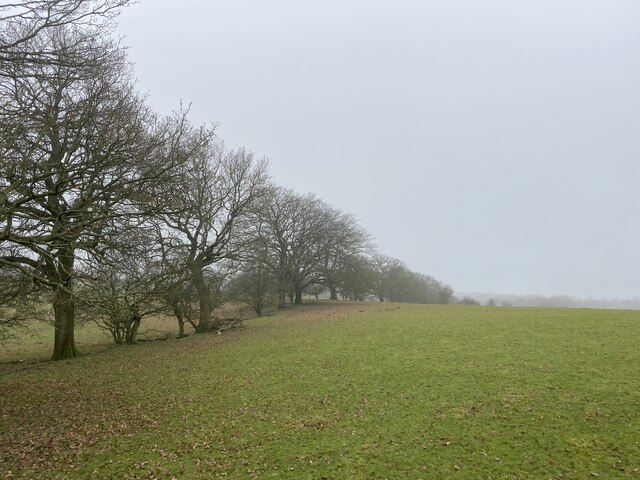
The woodland is characterized by a diverse range of trees, including oak, birch, beech, and hazel. The dense canopy of leaves provides a tranquil and shady atmosphere, making it an ideal spot for peaceful walks and wildlife spotting. Bluebells carpet the forest floor during the spring months, creating a stunning display of colors.
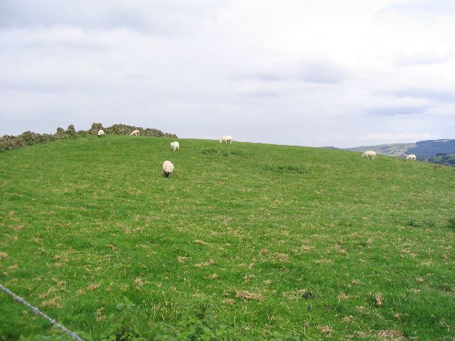
Broom Wood is home to a rich variety of wildlife. Visitors may encounter deer, squirrels, rabbits, and a plethora of bird species, including woodpeckers, owls, and finches. The wood's diverse ecosystem supports a healthy population of flora and fauna, making it an important conservation area.
The wood is crisscrossed by a network of well-maintained footpaths, allowing visitors to explore the area at their leisure. There are also designated picnic areas where visitors can relax and enjoy the serenity of the surroundings. Additionally, the wood offers opportunities for activities such as cycling and horseback riding.
Broom Wood's location, just a short distance from the village of Cheshire, makes it easily accessible for both locals and tourists. Its natural beauty, tranquil ambiance, and abundance of wildlife make it a must-visit destination for anyone seeking a peaceful retreat in the heart of Cheshire's countryside.
If you have any feedback on the listing, please let us know in the comments section below.
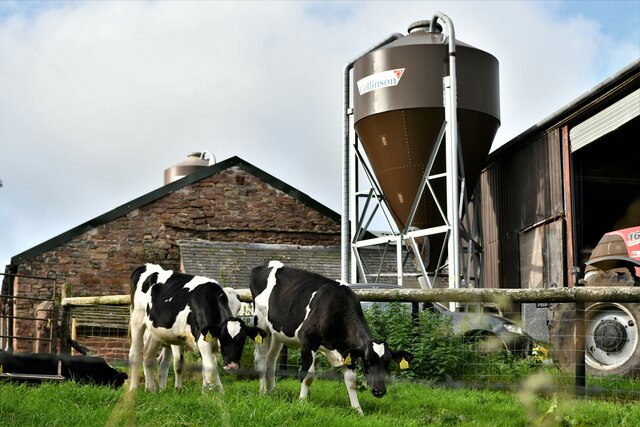
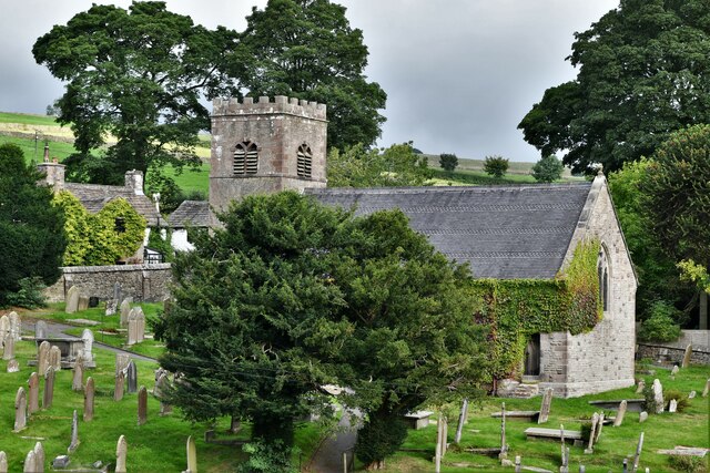
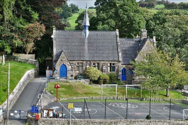
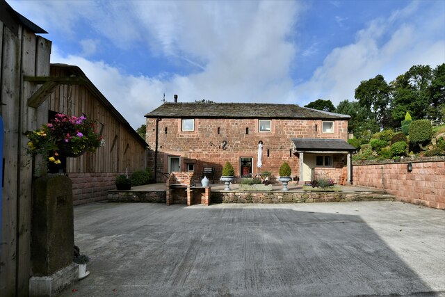
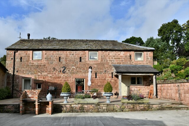
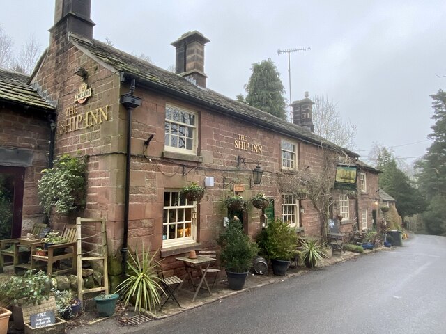
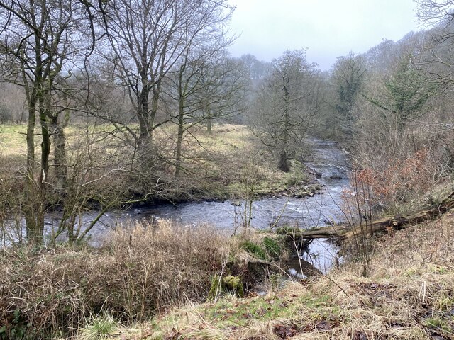
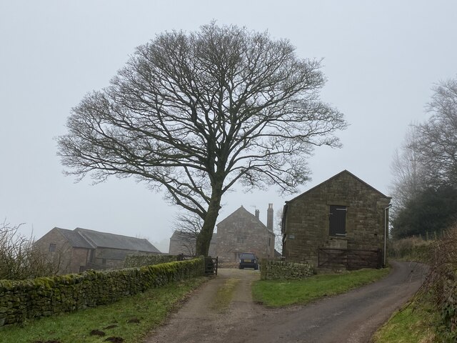
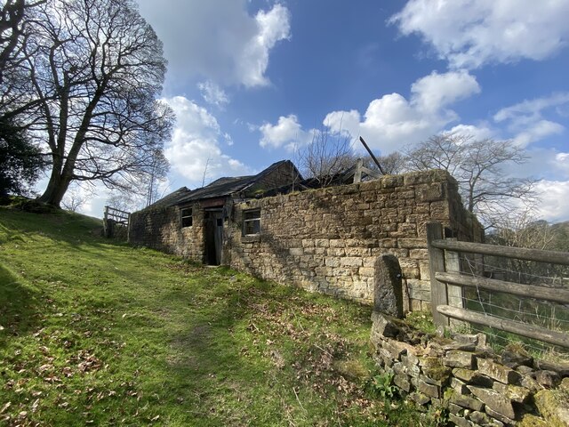
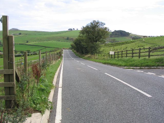
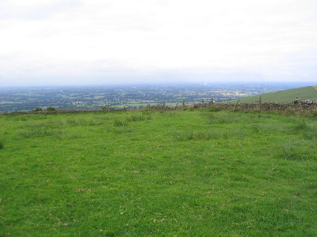
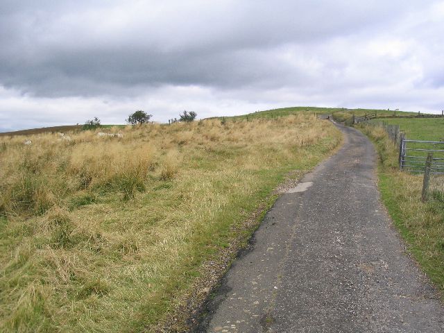
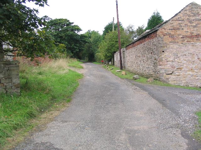
Broom Wood Images
Images are sourced within 2km of 53.191072/-2.0763491 or Grid Reference SJ9466. Thanks to Geograph Open Source API. All images are credited.
Broom Wood is located at Grid Ref: SJ9466 (Lat: 53.191072, Lng: -2.0763491)
Unitary Authority: Cheshire East
Police Authority: Cheshire
What 3 Words
///extent.walnuts.rhino. Near Eaton, Cheshire
Nearby Locations
Related Wikis

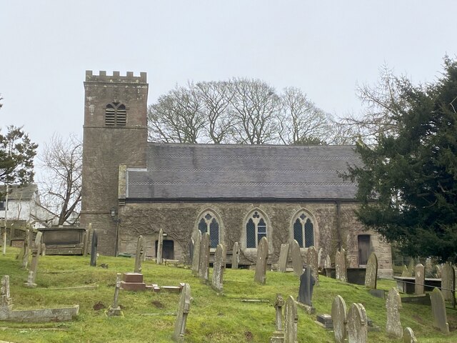
St Michael's Church, Wincle
St Michael's Church is in the village of Wincle, Cheshire, England. It is an active Anglican parish church in the diocese of Chester, the archdeaconry...

Bosley Minn
Bosley Minn is one of two names – the other being Wincle Minn – given to a prominent hill in southeast Cheshire and in the southwestern corner of the Peak...
Wincle
Wincle is a village and civil parish in the Cheshire East district of Cheshire, England. It holds parish meetings, rather than parish council meetings...

Silk 106.9
Cheshire's Silk Radio is an Independent Local Radio serving Macclesfield and parts of East Cheshire, owned and operated by neighbouring station Chester...
Nearby Amenities
Located within 500m of 53.191072,-2.0763491Have you been to Broom Wood?
Leave your review of Broom Wood below (or comments, questions and feedback).