Nabbs Hill

Hill, Mountain in Cheshire

England

Nabbs Hill

Croker Hill from the Gritstone Trail Green fields of east Cheshire.
Croker Hill from the Gritstone Trail Credit: steven ruffles

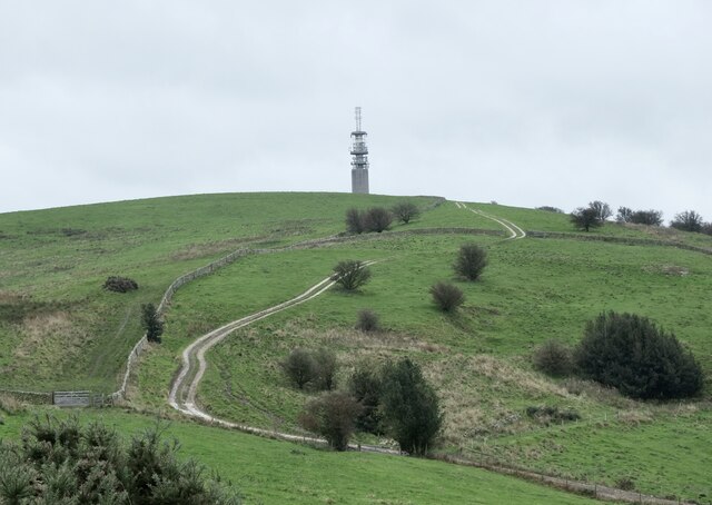
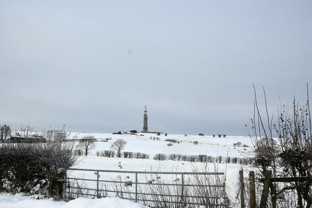
Nabbs Hill is a prominent hill located in Cheshire, England. Standing at an elevation of approximately 120 meters (394 feet), it is classified as a hill rather than a mountain. The hill is known for its picturesque surroundings and offers panoramic views of the Cheshire countryside.

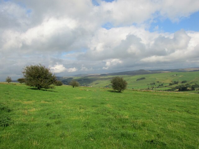
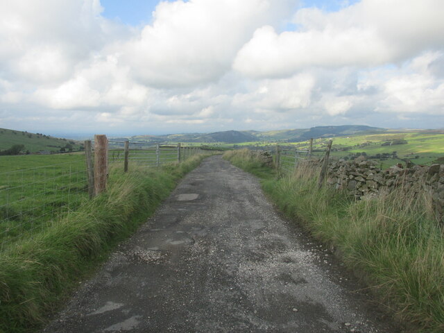
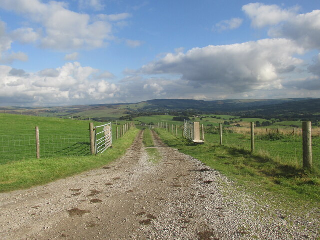
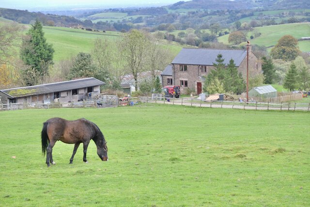
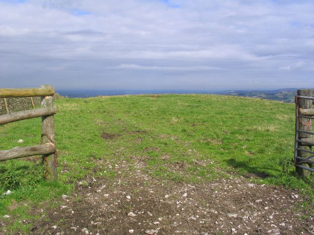
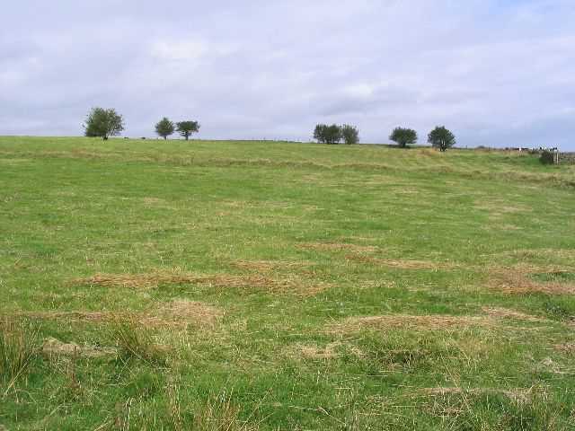
Nabbs Hill is situated near the village of Bunbury, in the southern part of Cheshire. It is easily accessible by road and is a popular destination for hikers and nature enthusiasts. The hill is covered in lush green grass and is adorned with a variety of wildflowers during the summer months, making it an ideal spot for a leisurely stroll or a picnic.

At the top of Nabbs Hill, there is a stone monument that marks the site of an ancient hillfort. This archaeological feature adds historical significance to the area and attracts visitors interested in the region's past. Additionally, the hill offers breathtaking views of the surrounding landscape, including the nearby Peckforton Hills and Beeston Castle.

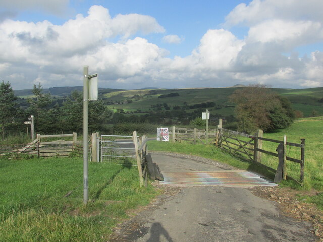
The area surrounding Nabbs Hill is also home to a diverse range of wildlife. Visitors may encounter various bird species, including buzzards and kestrels, as well as rabbits and other small mammals. The hill is also part of a network of footpaths, allowing visitors to explore the surrounding countryside and enjoy the peaceful ambiance of the area.

Overall, Nabbs Hill in Cheshire offers a tranquil and scenic escape for nature lovers, history enthusiasts, and anyone seeking a peaceful retreat in the heart of the English countryside.

If you have any feedback on the listing, please let us know in the comments section below.
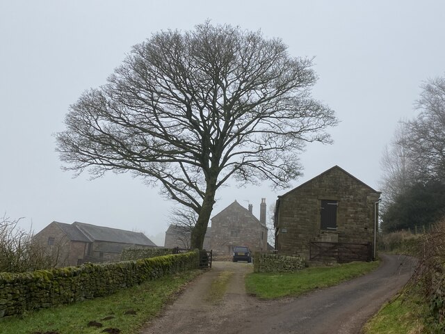
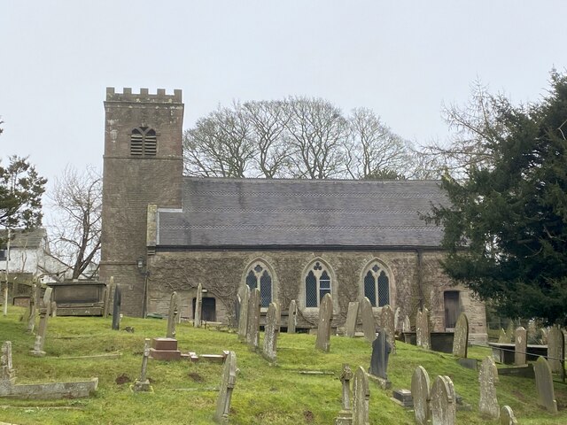
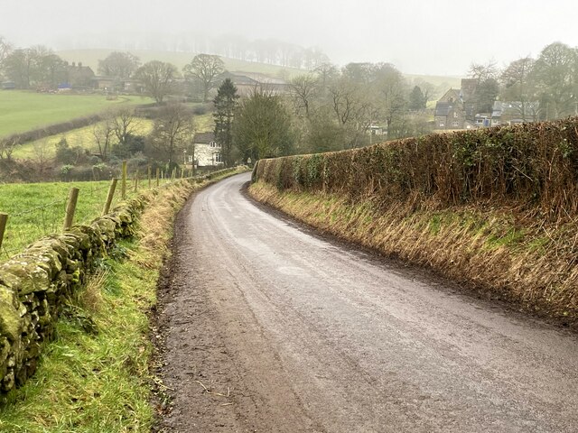
Nabbs Hill Images

Images are sourced within 2km of 53.199537/-2.0809897 or Grid Reference SJ9466. Thanks to Geograph Open Source API. All images are credited.

Croker Hill from the Gritstone Trail Green fields of east Cheshire.
Croker Hill from the Gritstone Trail
Green fields of east Cheshire.
Sutton Common communications tower Leaving Croker hill via the Gritstone Trail.
Sutton Common communications tower
Leaving Croker hill via the Gritstone Trail.
Cattle grid on Golden Slack Along the Gritstone Trail.
Cattle grid on Golden Slack
Along the Gritstone Trail.
Track across Wincle Minn The Gritstone Trail.
Track across Wincle Minn
The Gritstone Trail.
Track heading east from the Gritstone Trail
Wincle: Small field used for three cows to graze on
Wincle, St. Michael's Church: Southern aspect
Wincle C. of E. Primary School
Radio Transmitter Croker Hill
Radio Transmitter
Croker Hill
A chorus line Alpacas at Little Pethills Farm
A chorus line
Alpacas at Little Pethills Farm
Higher Pethills Farm Croker Hill
Higher Pethills Farm
Croker Hill
Radio Station Mast The mast is a landmark around here and stands close to Lingerds Farm. The shot is taken from the A54 near Dollards Farm. The A54 is actually closed by heavy snow deposited by Storm Arwen.
Radio Station Mast
The mast is a landmark around here and stands close to Lingerds Farm. The shot is taken from the A54 near Dollards Farm. The A54 is actually closed by heavy snow deposited by Storm Arwen.
Wincle Grange in winter
St Michael's Church, Wincle
Downhill to Wincle On the minor road from Allgreave.
Downhill to Wincle
On the minor road from Allgreave.
Pasture This picture was taken looking west from the Gritstone Trail from sj9333467987. It shows the typical pasture land of this area.
Pasture
This picture was taken looking west from the Gritstone Trail from sj9333467987. It shows the typical pasture land of this area.
Radio Mast This image is a radio mast at SJ937867787. The picture was taken from the Gritstone Trail that passes close to this prominent feature.
Radio Mast
This image is a radio mast at SJ937867787. The picture was taken from the Gritstone Trail that passes close to this prominent feature.
Pasture This picture was taken from sj9356967597 looking north from the Gritstone trail across Sutton Common.
Pasture
This picture was taken from sj9356967597 looking north from the Gritstone trail across Sutton Common.
Show me another place!

Nabbs Hill is located at Grid Ref: SJ9466 (Lat: 53.199537, Lng: -2.0809897)

Unitary Authority: Cheshire East

Police Authority: Cheshire

What 3 Words

///lavished.couple.cropping. Near Macclesfield, Cheshire

Nearby Locations

Nabbs Hill Broom Wood

Related Wikis

Bosley Minn

Bosley Minn is one of two names – the other being Wincle Minn – given to a prominent hill in southeast Cheshire and in the southwestern corner of the Peak...

St Michael's Church, Wincle

St Michael's Church is in the village of Wincle, Cheshire, England. It is an active Anglican parish church in the diocese of Chester, the archdeaconry...

Silk 106.9

Cheshire's Silk Radio is an Independent Local Radio serving Macclesfield and parts of East Cheshire, owned and operated by neighbouring station Chester...
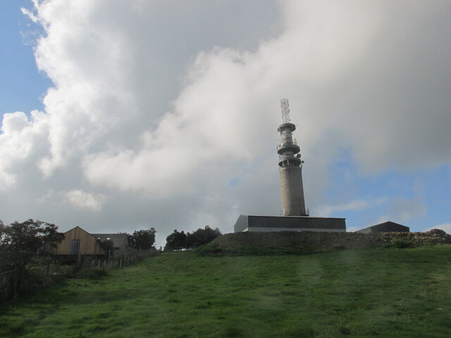
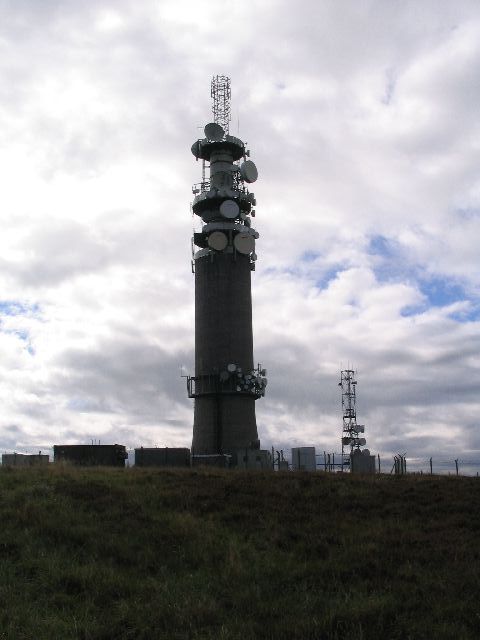
Croker Hill

Croker Hill stands just outside the western edge of the Peak District national park, overlooking Congleton in Cheshire. Near the summit stands the Sutton...

Nearby Amenities

Located within 500m of 53.199537,-2.0809897
Barrier: kissing_gate
Lat/Long: 53.1962585/-2.0860816
Barrier: kissing_gate
Source: survey;gps
Lat/Long: 53.1958164/-2.0791244
Barrier: kissing_gate
Source: survey;gps
Lat/Long: 53.1986885/-2.081701
The data included in this document is from www.openstreetmap.org. The data is made available under ODbL.

Have you been to Nabbs Hill?

Leave your review of Nabbs Hill below (or comments, questions and feedback).