Rebbeck's Hill
Hill, Mountain in Wiltshire
England
Rebbeck's Hill
Rebbeck's Hill is a prominent natural landmark located in the county of Wiltshire, England. Situated near the village of Alton Priors, this hill is part of the South Wessex Downs, a designated Area of Outstanding Natural Beauty. Rising to an elevation of approximately 221 meters (725 feet) above sea level, Rebbeck's Hill is not classified as a mountain but rather as a hill.
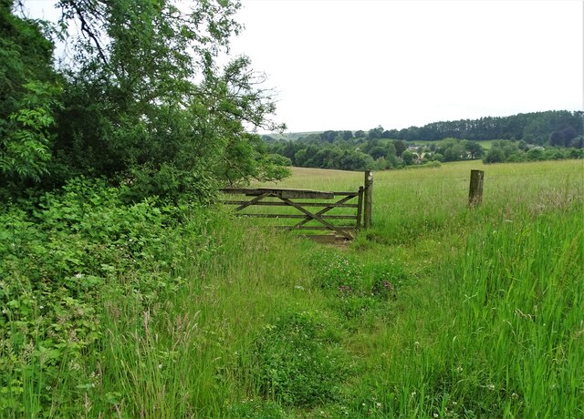
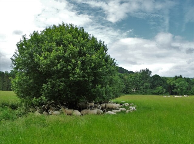
The hill is characterized by its gently sloping sides and a rounded summit, offering picturesque views of the surrounding countryside. It is primarily composed of chalk, which is common in the region and gives the landscape its characteristic white appearance. This chalky composition also contributes to the rich biodiversity found on the hill, supporting a variety of plant and animal species.
Rebbeck's Hill is a popular destination for outdoor enthusiasts and nature lovers, offering opportunities for hiking, walking, and birdwatching. The hill is home to several species of birds, including skylarks and meadow pipits, which can often be seen and heard chirping in the open grasslands. Additionally, the hill provides a habitat for various wildflowers and butterflies, adding to its natural beauty.
The hill's location near Alton Priors also adds historical and cultural significance to the area. The nearby village is home to the famous Alton Barnes White Horse, a large chalk figure carved into the hillside. This ancient landmark, along with the natural beauty of Rebbeck's Hill, attracts visitors from far and wide, making it a notable destination in Wiltshire.
If you have any feedback on the listing, please let us know in the comments section below.
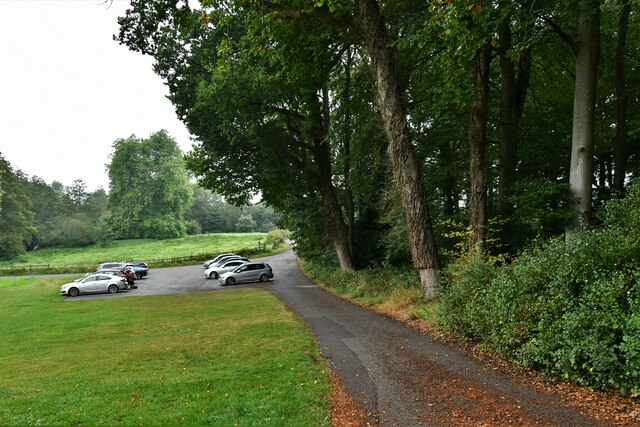
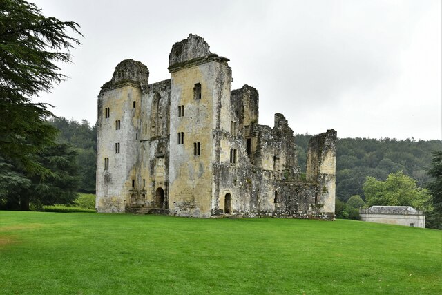
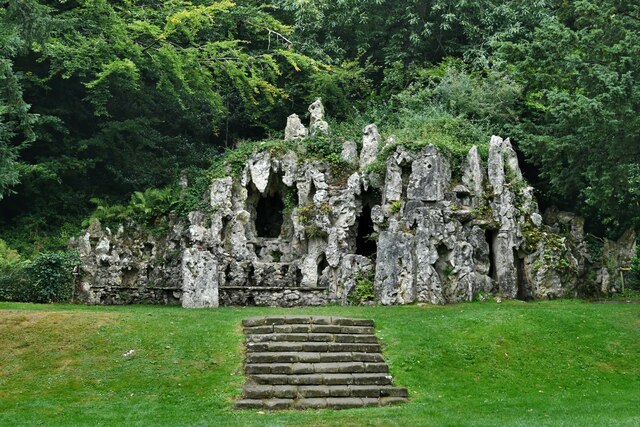
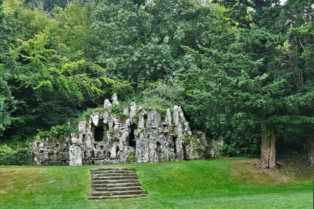
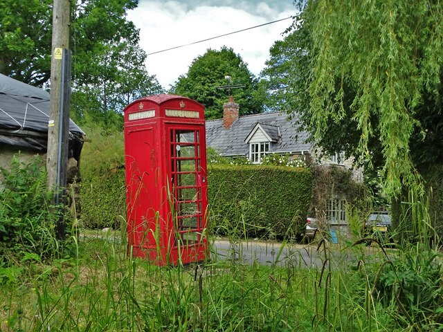
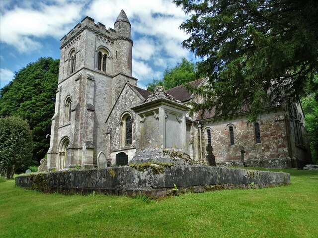
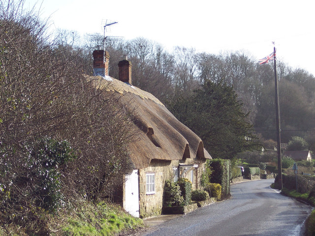
Rebbeck's Hill Images
Images are sourced within 2km of 51.037563/-2.0772651 or Grid Reference ST9426. Thanks to Geograph Open Source API. All images are credited.
Rebbeck's Hill is located at Grid Ref: ST9426 (Lat: 51.037563, Lng: -2.0772651)
Unitary Authority: Wiltshire
Police Authority: Wiltshire
What 3 Words
///prospered.buck.overused. Near Ansty, Wiltshire
Nearby Locations
Related Wikis

Ansty Coombe
Ansty Coombe is a hamlet in Ansty parish, in southwest Wiltshire, England. It lies about six miles (10 km) east of Shaftesbury, Dorset. == Sources... ==

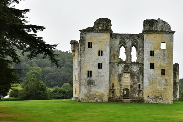
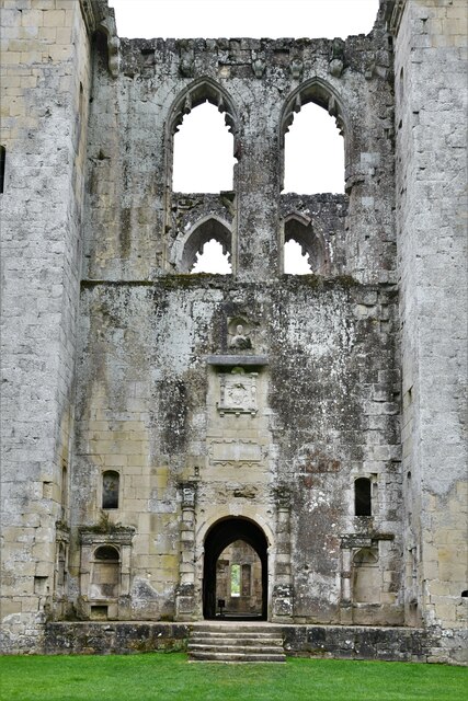
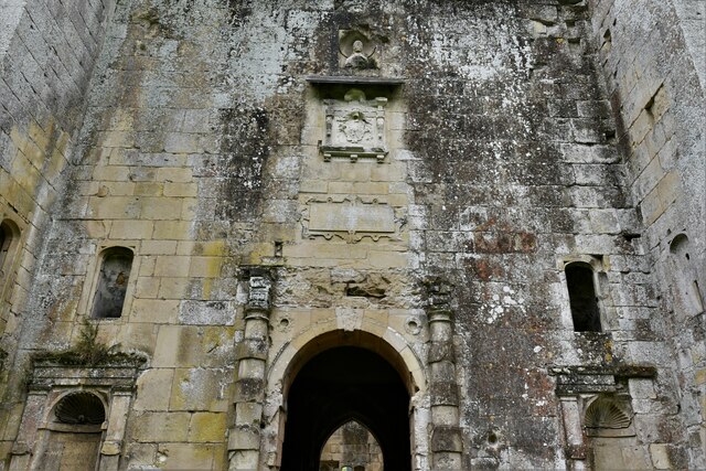
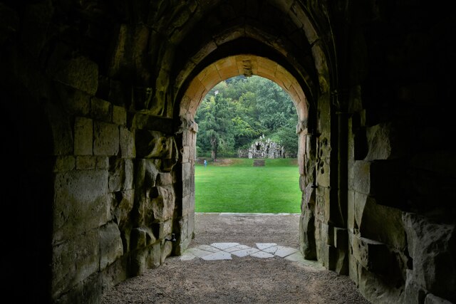
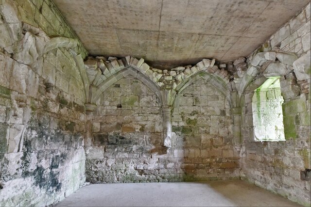
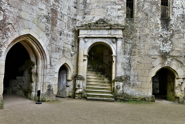
Wardour Castle
Wardour Castle or Old Wardour Castle is a ruined 14th-century castle at Wardour, on the boundaries of the civil parishes of Tisbury and Donhead St Andrew...
Siege of Wardour Castle
Wardour Castle in Wiltshire, England, was besieged twice during the First English Civil War; once in May 1643, and then again between November 1643 and...
Ansty, Wiltshire
Ansty is a small village and civil parish in southwest Wiltshire, England, about 6 miles (10 km) east of Shaftesbury. The village is just north of the...
Nearby Amenities
Located within 500m of 51.037563,-2.0772651Have you been to Rebbeck's Hill?
Leave your review of Rebbeck's Hill below (or comments, questions and feedback).