High Wood
Wood, Forest in Wiltshire
England
High Wood
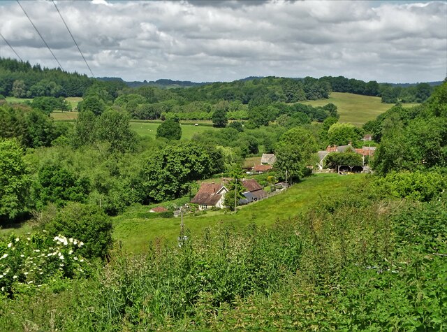
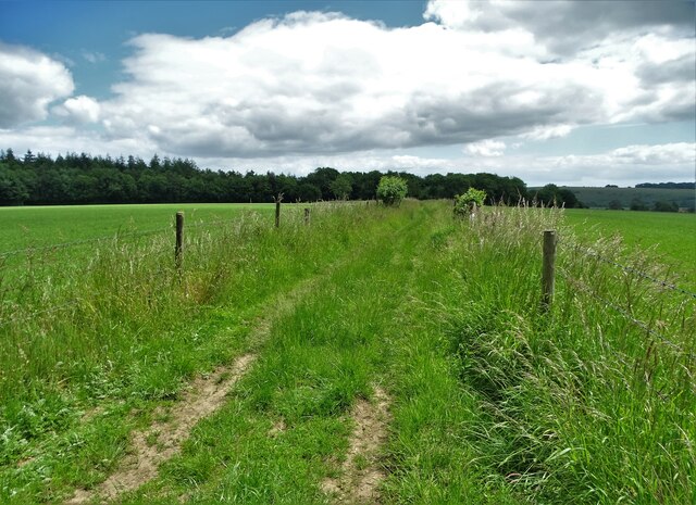
High Wood is a picturesque forest located in the county of Wiltshire, England. Covering an area of approximately 100 hectares, this woodland is a part of the larger Clarendon Forest, which extends across the southern region of the county. The wood is situated between the towns of Salisbury and Downton, making it easily accessible to locals and visitors alike.
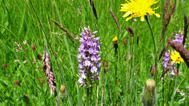
High Wood is predominantly composed of broadleaf trees, including oak, beech, and ash, which create a vibrant and diverse ecosystem. The forest floor is adorned with a rich carpet of bluebells during the springtime, attracting nature enthusiasts and photographers. The wood also serves as a habitat for various wildlife, including deer, badgers, and a variety of bird species, making it a popular spot for wildlife observation.
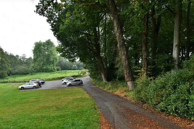
The wood is intersected by several footpaths, providing ample opportunities for leisurely walks and exploration. The trails wind through the dense woodland, offering visitors a chance to immerse themselves in nature and enjoy the peaceful ambiance. Additionally, the wood is crisscrossed by a network of bridleways, making it a popular destination for horse riders.
High Wood holds historical significance as well. It is believed to have been a hunting ground in medieval times, with remnants of ancient hunting lodges still visible within the forest. The wood has also witnessed its fair share of events during the English Civil War, as it served as a strategic location for military encampments.
Overall, High Wood is a natural haven that offers a tranquil escape from the hustle and bustle of daily life. Its beauty, wildlife, and historical charm make it a cherished destination for nature lovers and history enthusiasts alike.
If you have any feedback on the listing, please let us know in the comments section below.
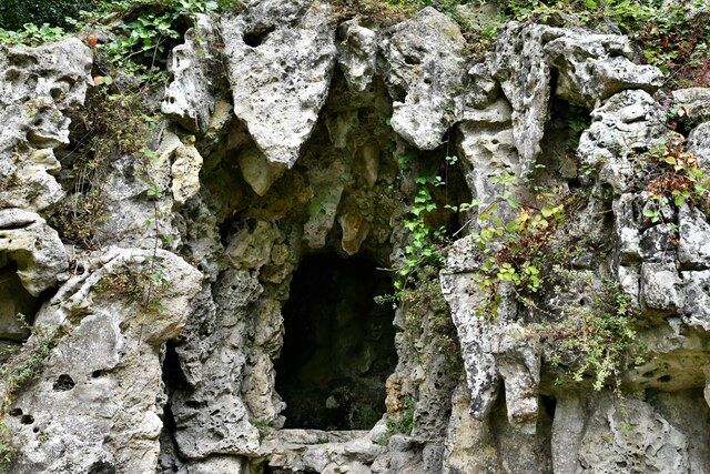
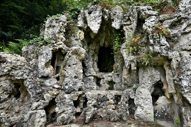
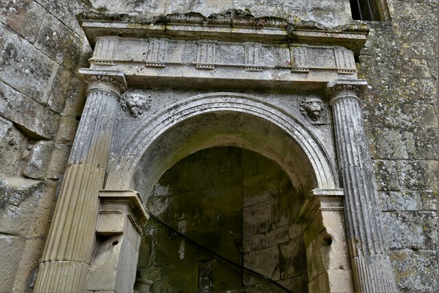
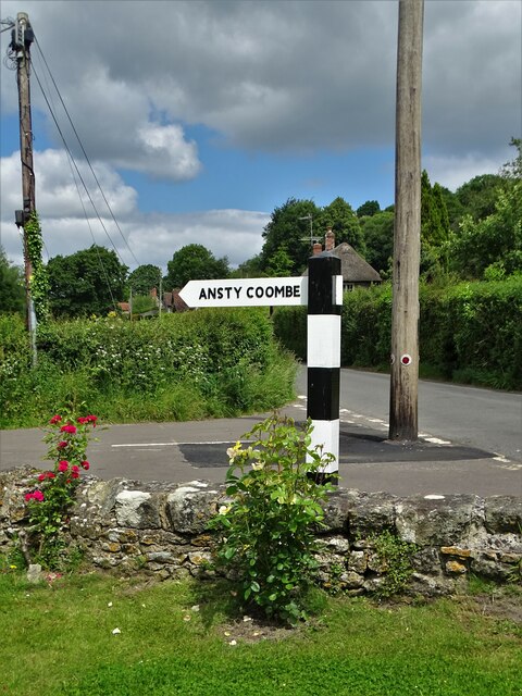
High Wood Images
Images are sourced within 2km of 51.041405/-2.0865856 or Grid Reference ST9426. Thanks to Geograph Open Source API. All images are credited.
High Wood is located at Grid Ref: ST9426 (Lat: 51.041405, Lng: -2.0865856)
Unitary Authority: Wiltshire
Police Authority: Wiltshire
What 3 Words
///battle.tilts.asterisk. Near Ansty, Wiltshire
Nearby Locations
Related Wikis

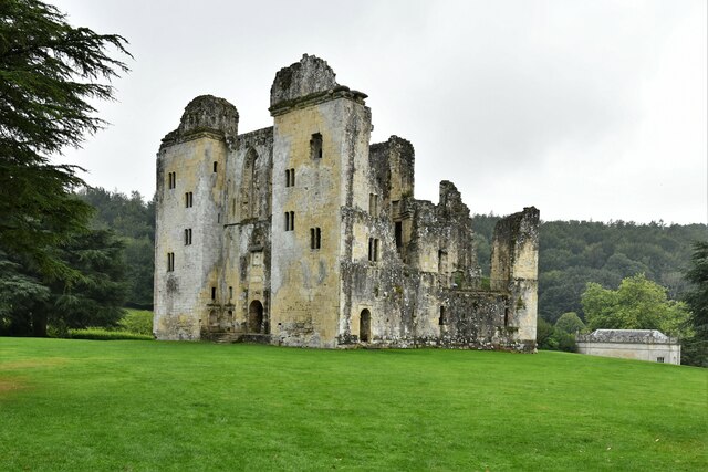
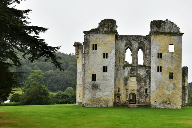
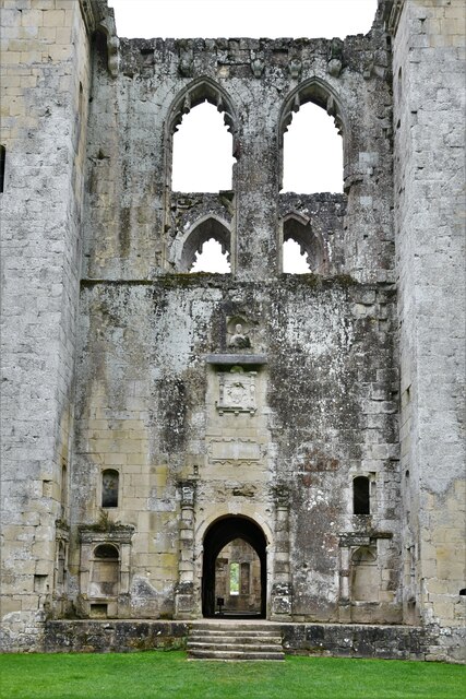
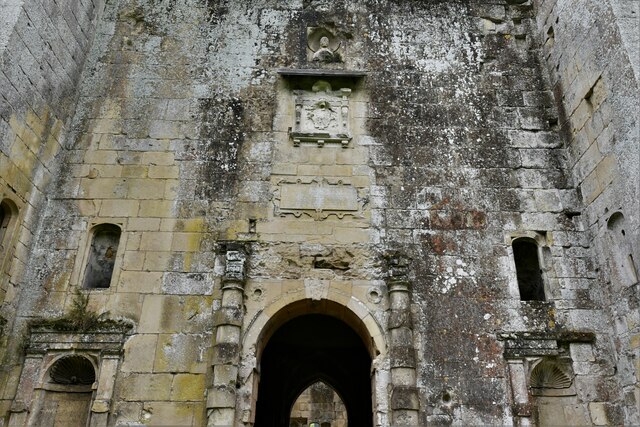
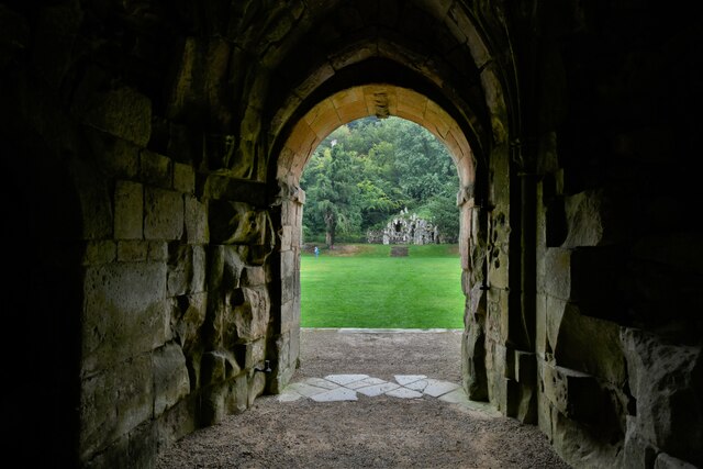
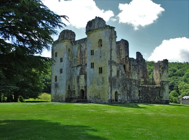
Wardour Castle
Wardour Castle or Old Wardour Castle is a ruined 14th-century castle at Wardour, on the boundaries of the civil parishes of Tisbury and Donhead St Andrew...
Siege of Wardour Castle
Wardour Castle in Wiltshire, England, was besieged twice during the First English Civil War; once in May 1643, and then again between November 1643 and...
Cranborne Chase School
Cranborne Chase School was an independent boarding school for girls, and was located in the English counties of Dorset and (later) Wiltshire, between 1946...
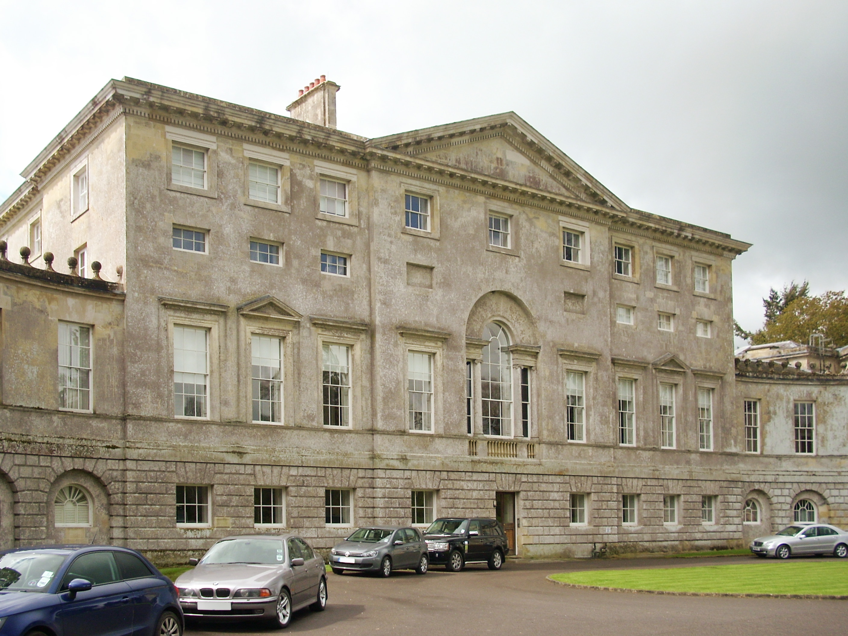
New Wardour Castle
New Wardour Castle is a Grade I listed English country house at Wardour, near Tisbury in Wiltshire, built for the Arundell family. The house is of Palladian...

Ansty Coombe
Ansty Coombe is a hamlet in Ansty parish, in southwest Wiltshire, England. It lies about six miles (10 km) east of Shaftesbury, Dorset. == Sources... ==

Wardour, Wiltshire
Wardour is a settlement in the civil parish of Tisbury, in Wiltshire, England, about 13 miles (21 km) west of Salisbury and 4 miles (6 km) south of Hindon...
Ansty, Wiltshire
Ansty is a small village and civil parish in southwest Wiltshire, England, about 6 miles (10 km) east of Shaftesbury. The village is just north of the...

Vale of Wardour
The Vale of Wardour encompasses the valley of the River Nadder in the county of Wiltshire, England. == Geography == === Topography === The Vale of Wardour...
Nearby Amenities
Located within 500m of 51.041405,-2.0865856Have you been to High Wood?
Leave your review of High Wood below (or comments, questions and feedback).