Dun Wood
Wood, Forest in Staffordshire Staffordshire Moorlands
England
Dun Wood
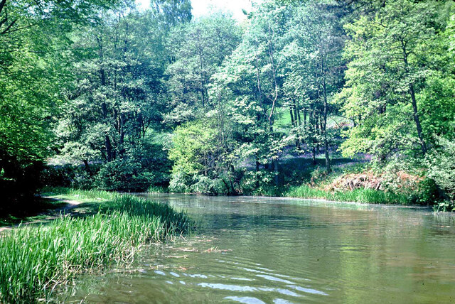
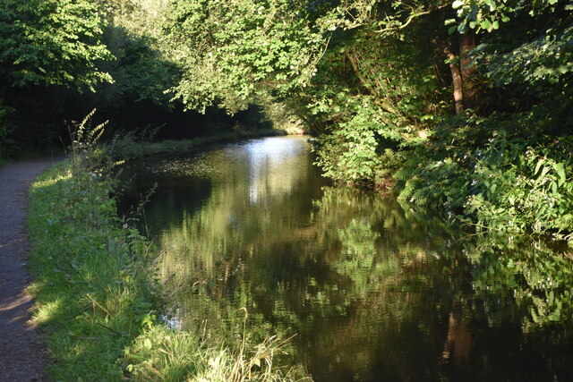
Dun Wood is a picturesque forest located in Staffordshire, England. Covering an area of approximately 500 acres, it is a haven for nature enthusiasts and outdoor adventurers alike. The wood is part of the Cannock Chase Area of Outstanding Natural Beauty, known for its diverse wildlife and stunning landscapes.
Dun Wood is predominantly made up of deciduous trees, including oak, birch, and beech, which create a vibrant and ever-changing tapestry of colors throughout the seasons. These trees provide a rich habitat for a variety of bird species, such as woodpeckers, nuthatches, and warblers, making it a popular destination for birdwatchers.
The forest offers a network of well-maintained walking trails, allowing visitors to explore its beauty at their own pace. Hikers can choose from shorter routes that take them through shady glades and over babbling brooks, or longer treks that lead to panoramic viewpoints offering breathtaking vistas of the surrounding countryside.
For those seeking a more active adventure, Dun Wood also features several mountain biking trails. These trails vary in difficulty, catering to both beginners and experienced riders. The undulating terrain and winding paths provide an exhilarating experience for cyclists, who can enjoy the stunning scenery as they navigate through the forest.
Dun Wood is a peaceful retreat for those looking to escape the hustle and bustle of everyday life. Its natural beauty, diverse wildlife, and range of activities make it a must-visit destination for anyone seeking a tranquil and immersive woodland experience.
If you have any feedback on the listing, please let us know in the comments section below.
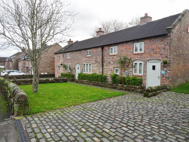
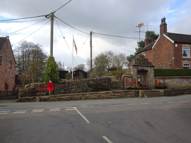
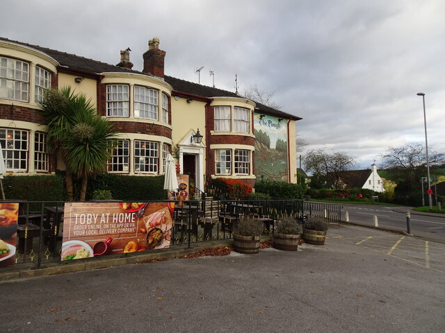
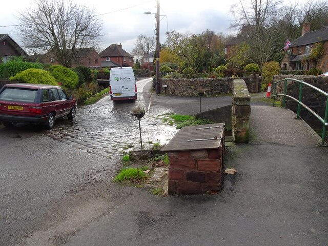
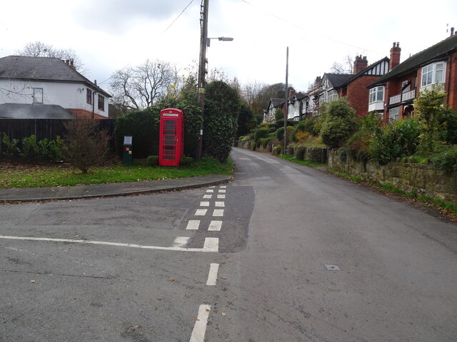
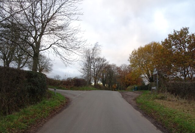
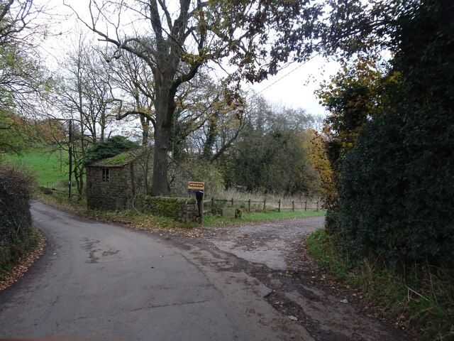
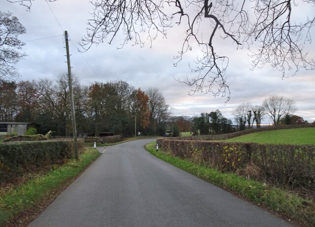
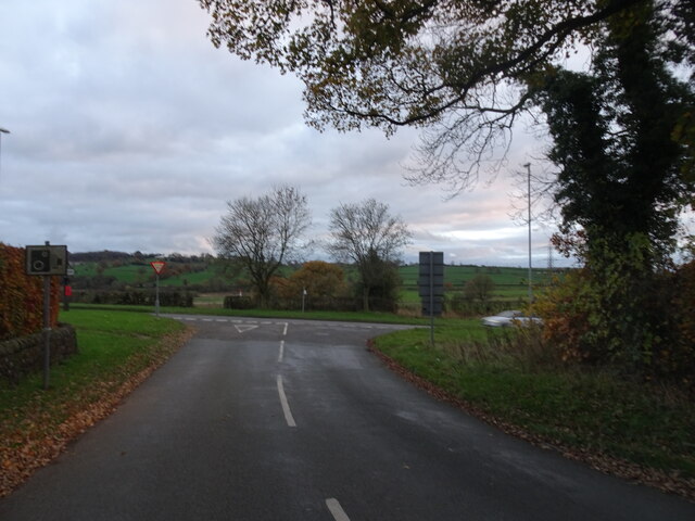
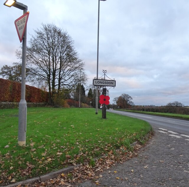
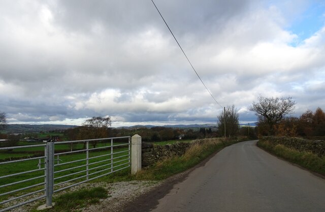
Dun Wood Images
Images are sourced within 2km of 53.083382/-2.0804872 or Grid Reference SJ9454. Thanks to Geograph Open Source API. All images are credited.


Dun Wood is located at Grid Ref: SJ9454 (Lat: 53.083382, Lng: -2.0804872)
Administrative County: Staffordshire
District: Staffordshire Moorlands
Police Authority: Staffordshire
What 3 Words
///unit.armrests.softly. Near Cheddleton, Staffordshire
Related Wikis

Longsdon
Longsdon is a village and civil parish in the Staffordshire Moorlands district of Staffordshire, England, about 1.5 miles (2.4 km) southwest of Leek, on...

Deep Hayes Country Park
Deep Hayes Country Park is a country park in Staffordshire, England. It is about 3 miles (4.8 km) south-west of Leek, a short distance south of the A53...
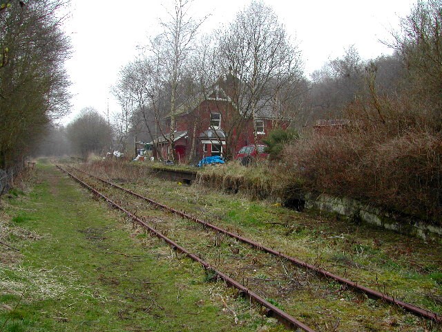
Wall Grange railway station
Wall Grange railway station is a disused railway station in Staffordshire, England. == History == The Stoke–Leek line was opened by the North Staffordshire...

The Ashes, Endon
The Ashes near Endon in Staffordshire is a building of historical significance and is Grade II* listed on the English Heritage Register. It was built in...

St Luke's Church, Endon
St Luke's Church is an Anglican church in Endon, Staffordshire, England, and in the Diocese of Lichfield. The building, dating originally from about 1720...

Endon railway station
Endon railway station is a disused railway station in Staffordshire. The Stoke–Leek line was opened by the North Staffordshire Railway (NSR) in 1867 and...
Endon
Endon is a village within the Staffordshire Moorlands district of Staffordshire, England. It is 4 miles (6.4 km) southwest of Leek and 6 miles (9.7 km...

Endon and Stanley
Endon and Stanley is a civil parish in Staffordshire, England, containing the villages Endon and Stanley. The civil parish (replacing a civil parish containing...
Nearby Amenities
Located within 500m of 53.083382,-2.0804872Have you been to Dun Wood?
Leave your review of Dun Wood below (or comments, questions and feedback).