Dunwood
Settlement in Staffordshire Staffordshire Moorlands
England
Dunwood

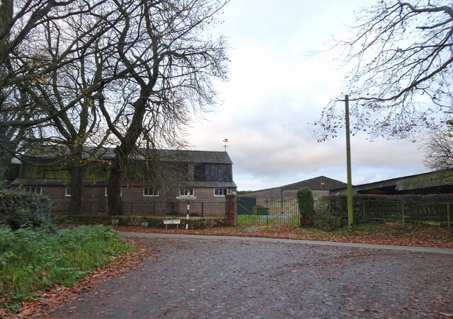
Dunwood is a small village located in the county of Staffordshire, England. Situated in the picturesque countryside, it lies approximately 10 miles south of the bustling town of Stafford. With a population of around 500 residents, Dunwood is known for its peaceful and close-knit community.
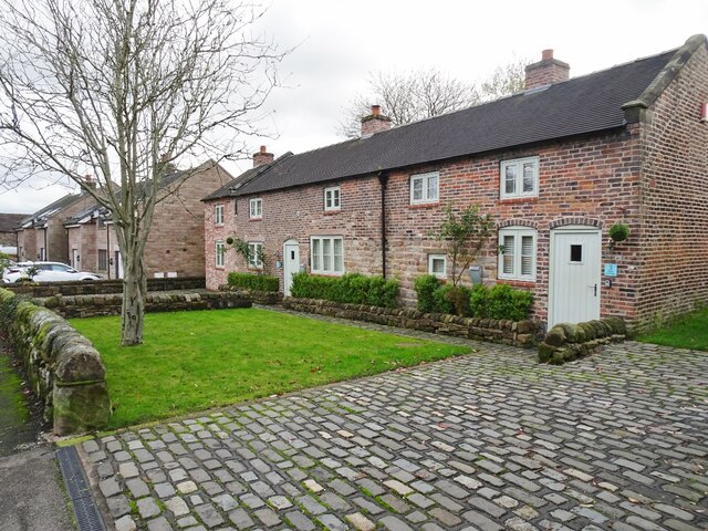
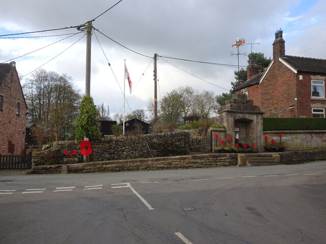
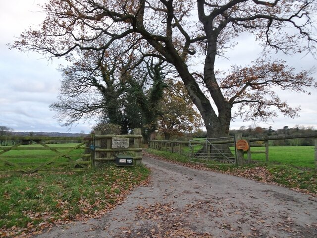
The village is characterized by its charming architecture, predominantly consisting of traditional stone houses and cottages. The center of Dunwood is marked by a quaint village green, providing a tranquil space for residents to relax and socialize. The surrounding countryside offers beautiful views, making it ideal for nature enthusiasts and walkers who can explore the numerous trails and footpaths that crisscross the area.
Despite its small size, Dunwood boasts a range of amenities to cater to the needs of its residents. These include a local pub, a village hall which serves as a hub for various community activities, and a primary school that provides education for the village's children. Additionally, there are several shops and services in the nearby town of Stafford, offering convenient access to a wider range of facilities.
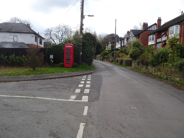
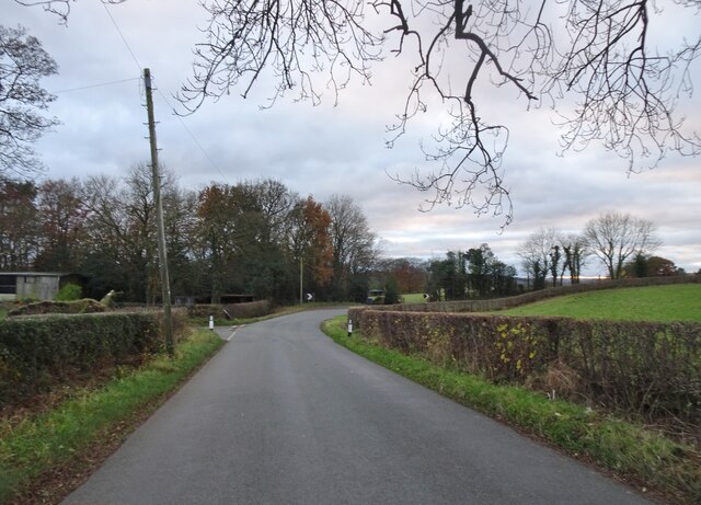
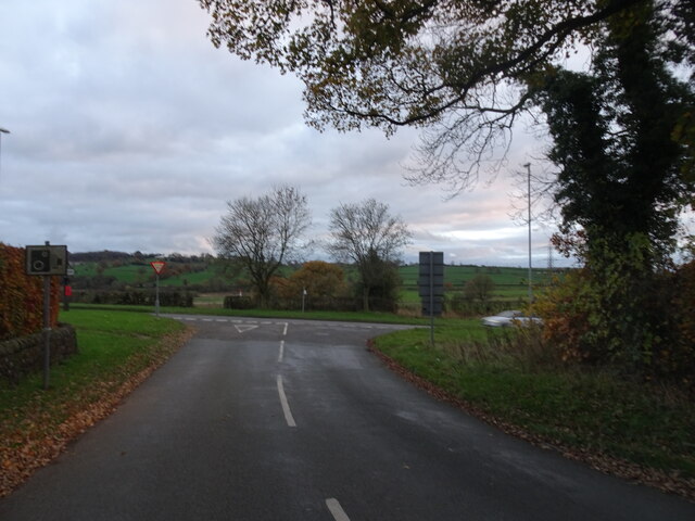
Dunwood is well-connected to other parts of Staffordshire by road, with the A518 passing close by, providing easy access to major transport links. The village also benefits from a regular bus service, connecting it to nearby towns and villages.
Overall, Dunwood offers a peaceful and idyllic setting, making it an attractive place to live for those seeking a rural lifestyle within easy reach of larger towns and cities.
If you have any feedback on the listing, please let us know in the comments section below.
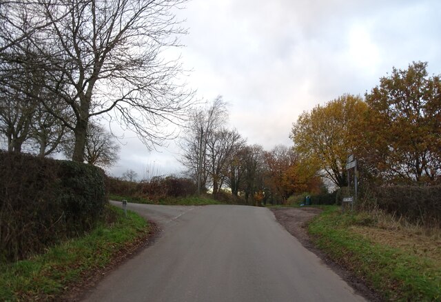
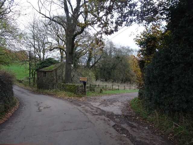
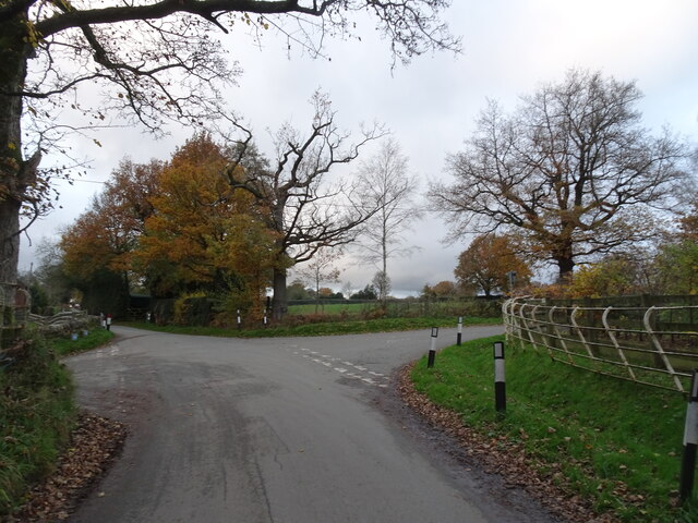
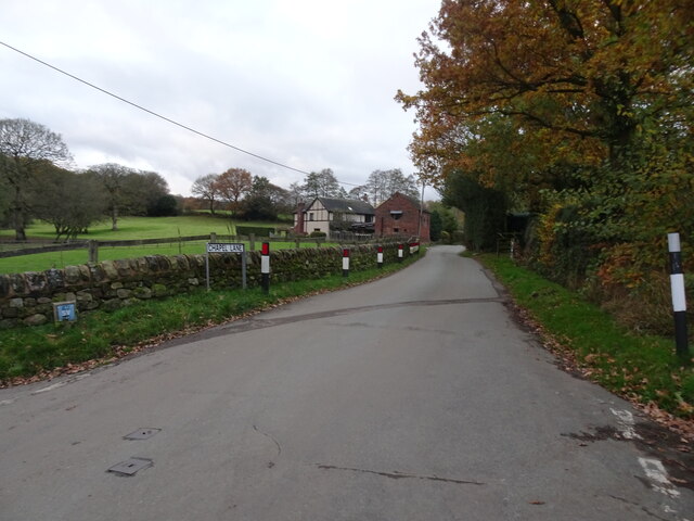
Dunwood Images
Images are sourced within 2km of 53.089558/-2.081494 or Grid Reference SJ9454. Thanks to Geograph Open Source API. All images are credited.


Dunwood is located at Grid Ref: SJ9454 (Lat: 53.089558, Lng: -2.081494)
Administrative County: Staffordshire
District: Staffordshire Moorlands
Police Authority: Staffordshire
What 3 Words
///brisk.obscuring.thick. Near Cheddleton, Staffordshire
Related Wikis

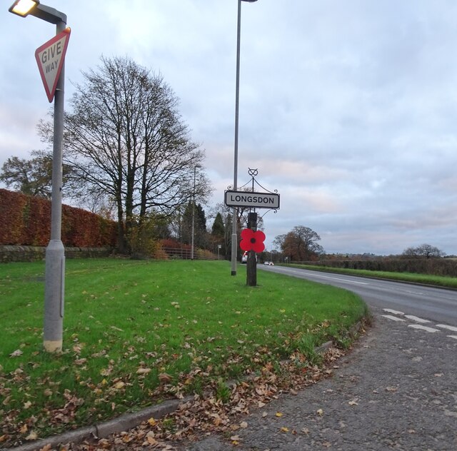
Longsdon
Longsdon is a village and civil parish in the Staffordshire Moorlands district of Staffordshire, England, about 1.5 miles (2.4 km) southwest of Leek, on...

The Ashes, Endon
The Ashes near Endon in Staffordshire is a building of historical significance and is Grade II* listed on the English Heritage Register. It was built in...
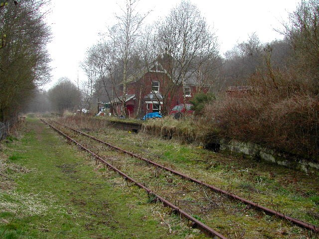
Wall Grange railway station
Wall Grange railway station is a disused railway station in Staffordshire, England. == History == The Stoke–Leek line was opened by the North Staffordshire...

St Luke's Church, Endon
St Luke's Church is an Anglican church in Endon, Staffordshire, England, and in the Diocese of Lichfield. The building, dating originally from about 1720...

Deep Hayes Country Park
Deep Hayes Country Park is a country park in Staffordshire, England. It is about 3 miles (4.8 km) south-west of Leek, a short distance south of the A53...
Endon
Endon is a village within the Staffordshire Moorlands district of Staffordshire, England. It is 4 miles (6.4 km) southwest of Leek and 6 miles (9.7 km...

Endon railway station
Endon railway station is a disused railway station in Staffordshire. The Stoke–Leek line was opened by the North Staffordshire Railway (NSR) in 1867 and...

Endon and Stanley
Endon and Stanley is a civil parish in Staffordshire, England, containing the villages Endon and Stanley. The civil parish (replacing a civil parish containing...
Nearby Amenities
Located within 500m of 53.089558,-2.081494Have you been to Dunwood?
Leave your review of Dunwood below (or comments, questions and feedback).