Baynton Hillside Wood
Wood, Forest in Wiltshire
England
Baynton Hillside Wood
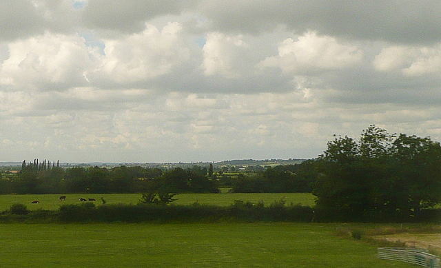
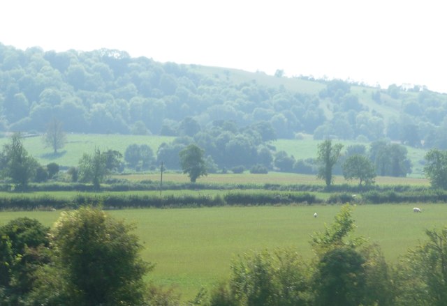
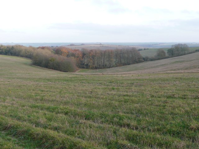
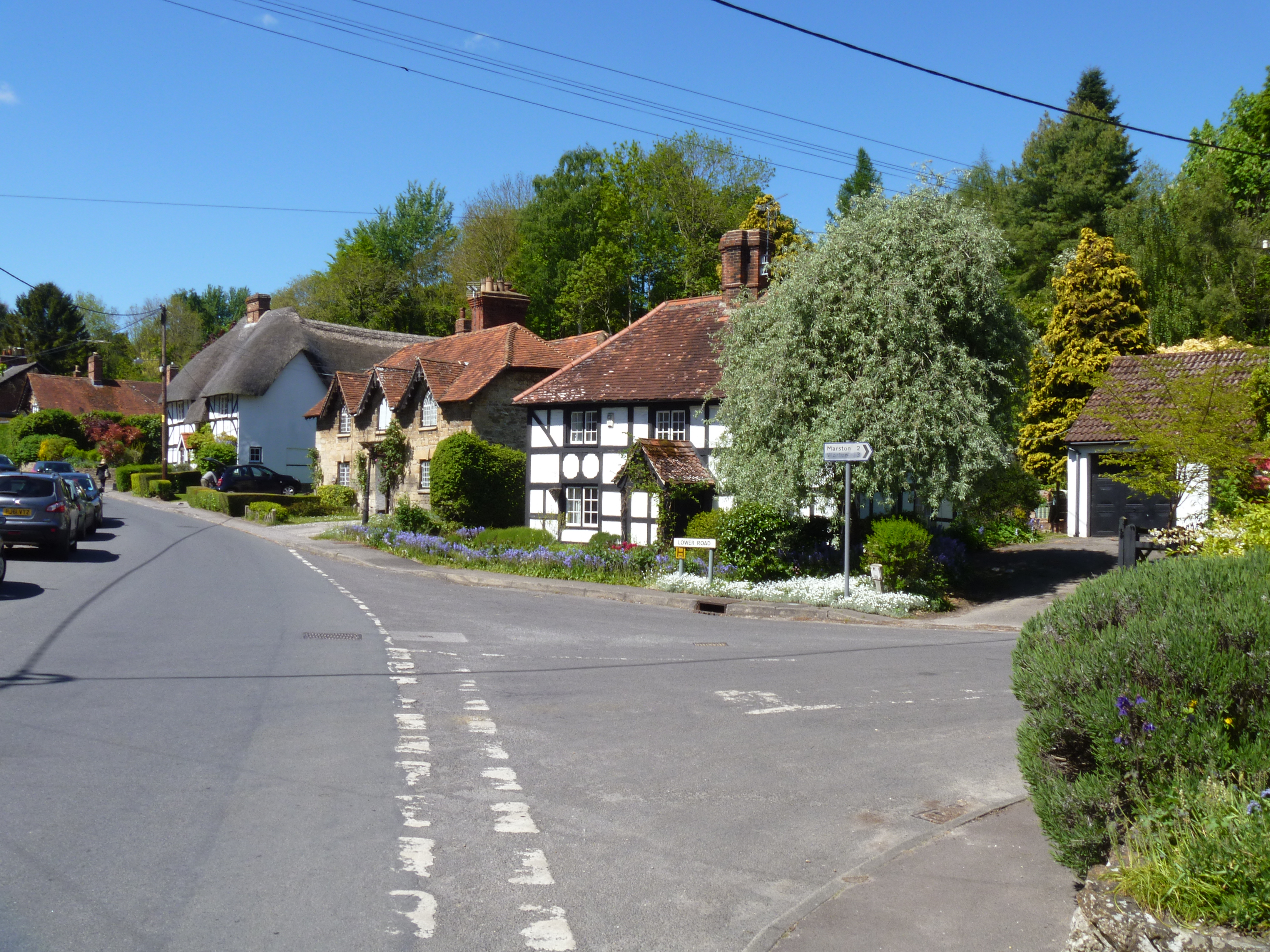
Baynton Hillside Wood is a picturesque woodland located in the county of Wiltshire, England. Situated on the hillside of Baynton, near the village of Westbury, this wood is known for its stunning natural beauty and rich biodiversity.
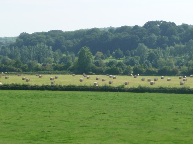
Covering an area of approximately 100 acres, Baynton Hillside Wood is predominantly composed of deciduous trees such as oak, beech, and ash. These towering trees create a dense canopy, providing a shaded and serene environment for visitors to explore. The woodland floor is adorned with a carpet of bluebells in spring, adding a burst of color to the scenery.
The wood is home to an array of wildlife, including deer, badgers, foxes, and various bird species. Nature enthusiasts can often spot woodpeckers, buzzards, and tawny owls among the branches. The diverse ecosystem also supports a variety of insects, butterflies, and wildflowers.
Visitors can enjoy a network of well-maintained footpaths that wind through the wood, allowing for leisurely walks and peaceful contemplation. The wood offers beautiful vistas of the surrounding countryside and is particularly popular during the autumn months when the leaves turn vibrant shades of red, orange, and gold.
Baynton Hillside Wood is managed by the local council and is open to the public year-round. The wood provides a tranquil escape from the hustle and bustle of everyday life, offering a place to connect with nature and appreciate the beauty of Wiltshire's countryside.
If you have any feedback on the listing, please let us know in the comments section below.
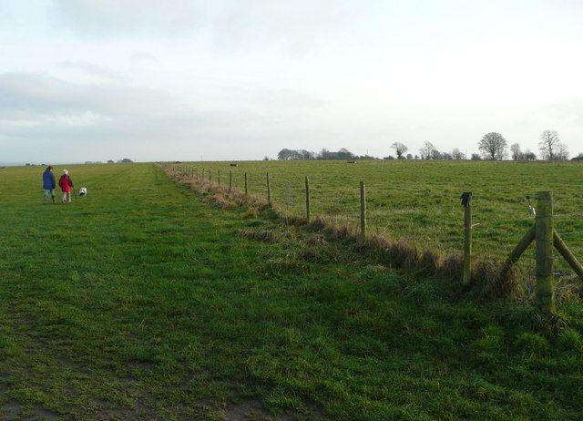
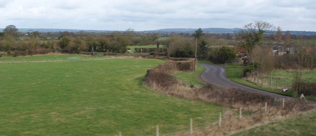
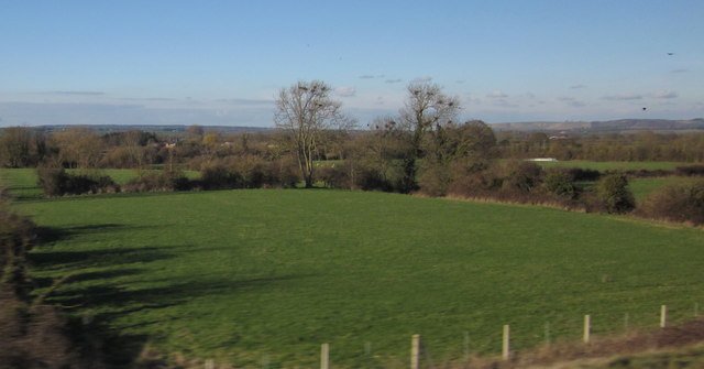
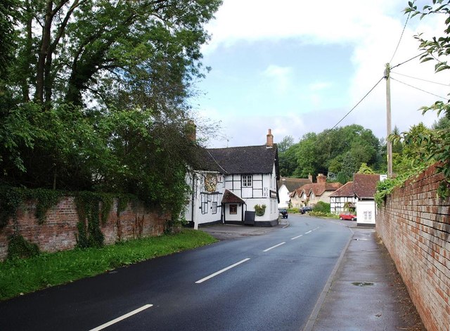
Baynton Hillside Wood Images
Images are sourced within 2km of 51.278323/-2.0773543 or Grid Reference ST9453. Thanks to Geograph Open Source API. All images are credited.


![Tumulus in Hill Wood Alongside the path at the top of the wood is Hill Wood bowl barrow a scheduled ancient monument [<span class="nowrap"><a title="http://list.historicengland.org.uk/resultsingle.aspx?uid=1009764" rel="nofollow ugc noopener" href="http://list.historicengland.org.uk/resultsingle.aspx?uid=1009764">Link</a><img style="margin-left:2px;" alt="External link" title="External link - shift click to open in new window" src="https://s1.geograph.org.uk/img/external.png" width="10" height="10"/></span>]. The mound is surrounded by posts and signs prohibiting military vehicles and prohibiting digging. Nearby there were some soldiers training.](https://s2.geograph.org.uk/geophotos/04/48/28/4482890_ad767cfc.jpg)


Baynton Hillside Wood is located at Grid Ref: ST9453 (Lat: 51.278323, Lng: -2.0773543)
Unitary Authority: Wiltshire
Police Authority: Wiltshire
What 3 Words
///sinkhole.dose.settle. Near Erlestoke, Wiltshire
Nearby Locations
Related Wikis

Baynton House
Baynton House is a Grade II listed 17th-century country house at Coulston, Wiltshire, England, about 5 miles (8 km) northeast of the town of Westbury....

Coulston
Coulston (until 1934 called East Coulston) is a village and civil parish in Wiltshire, England, five miles northeast of the town of Westbury, just north...
Erlestoke
Erlestoke is a village and civil parish in Wiltshire, England, on the northern edge of Salisbury Plain. The village lies about 6 miles (10 km) east of...

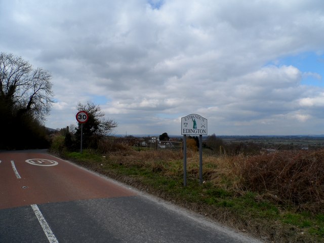
Edington, Wiltshire
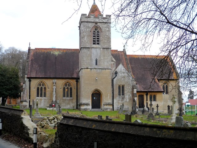
Edington is a village and civil parish in Wiltshire, England, about 4 miles (6 km) east-northeast of Westbury. The village lies under the north slope of...
Edington Priory
Edington Priory in Wiltshire, England, was founded by William Edington, the bishop of Winchester, in 1351 in his home village of Edington, about 3+3⁄4...

Wessex Ridgeway
The Wessex Ridgeway is a long-distance footpath in southwest England. It runs 136 miles (219 km) from Marlborough in Wiltshire to Lyme Regis in Dorset...
Great Cheverell Hill
Great Cheverell Hill (grid reference ST966520) is a 33.2 hectare biological Site of Special Scientific Interest at Great Cheverell in Wiltshire, notified...

HM Prison Erlestoke
HM Prison Erlestoke is a Category C men's prison, to the east of the village of Erlestoke in Wiltshire, England. Erlestoke is operated by His Majesty's...
Nearby Amenities
Located within 500m of 51.278323,-2.0773543Have you been to Baynton Hillside Wood?
Leave your review of Baynton Hillside Wood below (or comments, questions and feedback).