Gallows Plantation

Wood, Forest in Dorset

England

Gallows Plantation

Vineyard Farm Cottage from the Castle, Corfe Castle Grade II Listed late 17th or early 18th century farmhouse. The house has an attached 19th century stable and rear extension. The National Trust cottage takes its name from the castle’s vineyard, which was located in field nearby. It is currently (2021) available as a holiday let.
Vineyard Farm Cottage from the Castle, Corfe Castle Credit: Jo and Steve Turner

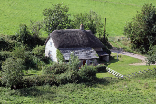
Gallows Plantation, located in Dorset, England, is a picturesque woodland area known for its natural beauty and rich history. Spanning over a vast area, this forested land is a haven for nature enthusiasts, offering a serene and tranquil escape from the hustle and bustle of everyday life.

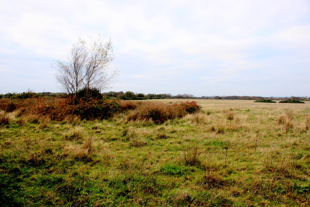
The plantation is predominantly made up of dense, mature woodland, consisting of a variety of tree species such as oak, beech, and ash. The tall, towering trees create a canopy that filters sunlight, casting a dappled shade on the forest floor. This creates an ideal habitat for a diverse range of flora and fauna, including various bird species, small mammals, and a plethora of woodland plants.

The name "Gallows Plantation" is believed to have originated from its historical use as a site for public executions during the medieval period. While gallows no longer stand here, the plantation retains an air of mystique and intrigue, with remnants of the past still visible in the form of ancient pathways and stone structures.

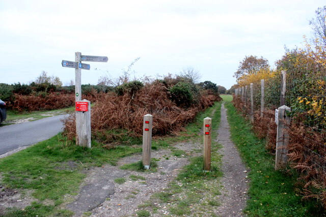
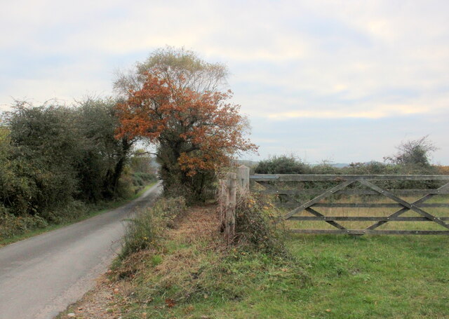
Visitors to Gallows Plantation can enjoy a host of recreational activities, including hiking, birdwatching, and photography. The well-marked trails winding through the forest provide an opportunity to explore the area's natural wonders, while numerous picnic spots and benches offer a chance to relax and soak in the peaceful atmosphere.

Overall, Gallows Plantation in Dorset is a captivating destination, offering a unique blend of natural beauty and historical significance. Whether seeking solitude amidst nature or a glimpse into the past, this woodland sanctuary is sure to leave a lasting impression on all who visit.

If you have any feedback on the listing, please let us know in the comments section below.

Gallows Plantation Images

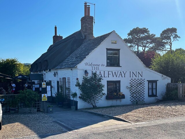
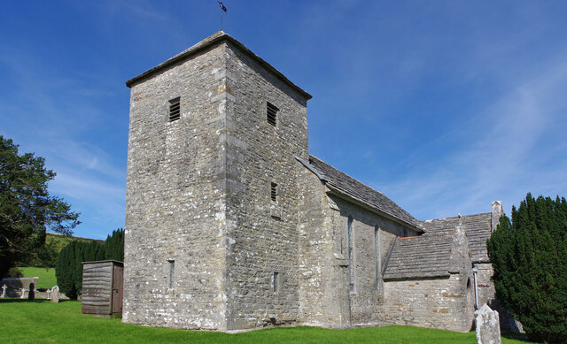
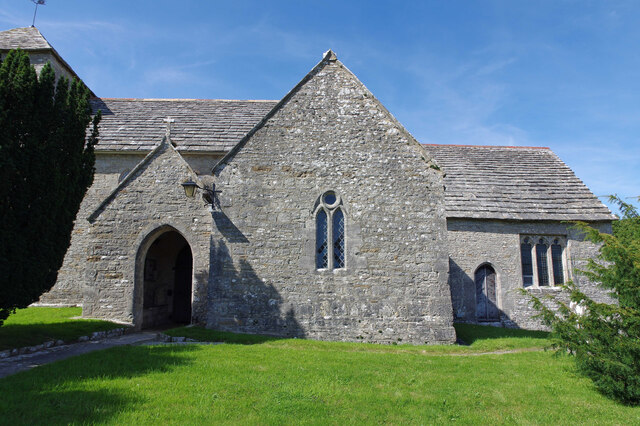
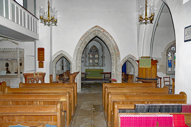
Images are sourced within 2km of 50.653387/-2.0761359 or Grid Reference SY9483. Thanks to Geograph Open Source API. All images are credited.

Vineyard Farm Cottage from the Castle, Corfe Castle Grade II Listed late 17th or early 18th century farmhouse. The house has an attached 19th century stable and rear extension. The National Trust cottage takes its name from the castle’s vineyard, which was located in field nearby. It is currently (2021) available as a holiday let.
Vineyard Farm Cottage from the Castle, Corfe Castle
Grade II Listed late 17th or early 18th century farmhouse. The house has an attached 19th century stable and rear extension. The National Trust cottage takes its name from the castle’s vineyard, which was located in field nearby. It is currently (2021) available as a holiday let.
National Cycle Track This is where the track to Studland leaves the minor road that runs between Corfe and Arne.
National Cycle Track
This is where the track to Studland leaves the minor road that runs between Corfe and Arne.
New Mills Heath Quite rough pasture land with few bushes or trees
New Mills Heath
Quite rough pasture land with few bushes or trees
Bridleway on New Mills Heath In between the road and the gate there is a narrow bridle path which does not appear to be used much but leads to New Line Farm
Bridleway on New Mills Heath
In between the road and the gate there is a narrow bridle path which does not appear to be used much but leads to New Line Farm
Wild horse on Soldier’s Road A minor road crossing Slepe Heath
Wild horse on Soldier’s Road
A minor road crossing Slepe Heath
Ruined keep, Corfe Castle (2022) Little changed from my previous visit 37 years ago <a href="https://www.geograph.org.uk/photo/2086287">SY9582 : Ruined keep, Corfe Castle (1985)</a>
Ruined keep, Corfe Castle (2022)
Little changed from my previous visit 37 years ago SY9582 : Ruined keep, Corfe Castle (1985)
Corfe Castle Looking up at the dramatic ruins on a hot summer day.
Corfe Castle
Looking up at the dramatic ruins on a hot summer day.
Corfe Castle
Corfe Castle
Halfway Inn Public house and restaurant on the A531. Located approximately halfway between Wareham and Corfe Castle.
Halfway Inn
Public house and restaurant on the A531. Located approximately halfway between Wareham and Corfe Castle.
Corfe Castle at sunset c.1960
St. Peter's, Church Knowle, Dorset The 14th Century tower and porch.
St. Peter's, Church Knowle, Dorset
The 14th Century tower and porch.
St. Peter's, Church Knowle, Dorset Original 13th Century South Transept.
St. Peter's, Church Knowle, Dorset
Original 13th Century South Transept.
St. Peter's, Church Knowle, Dorset The Nave
St. Peter's, Church Knowle, Dorset
The Nave
St. Peter's, Church Knowle, Dorset The 13th Century Chancel and Apse.
St. Peter's, Church Knowle, Dorset
The 13th Century Chancel and Apse.
Corfe Castle The castle stands above the village of the same name.
Corfe Castle
The castle stands above the village of the same name.
Corfe Castle
Corfe Castle
Old Milestone by the A351, south of Stoborough Green Carved stone post by the A351, in parish of ARNE (PURBECK District), by bus stop and path to Blue Pool, opposite sign 'RVP No 5' at entrance to Hartland Nature reserve, on West side of road. Dorset 2 (limestone), erected by the Wareham (North, South & West Branches) turnpike trust in the 19th century.

Inscription reads:-
II
MILES FROM
WAREHAM
Carved benchmark bottom centre of front face. 

Grade II Listed. List Entry Number:1120342 <span class="nowrap"><a title="https://historicengland.org.uk/listing/the-list/list-entry/1120342" rel="nofollow ugc noopener" href="https://historicengland.org.uk/listing/the-list/list-entry/1120342">Link</a><img style="margin-left:2px;" alt="External link" title="External link - shift click to open in new window" src="https://s1.geograph.org.uk/img/external.png" width="10" height="10"/></span>

Milestone Society National ID: DO_WASW02
Old Milestone by the A351, south of Stoborough Green
Carved stone post by the A351, in parish of ARNE (PURBECK District), by bus stop and path to Blue Pool, opposite sign 'RVP No 5' at entrance to Hartland Nature reserve, on West side of road. Dorset 2 (limestone), erected by the Wareham (North, South & West Branches) turnpike trust in the 19th century. Inscription reads:- II MILES FROM WAREHAM Carved benchmark bottom centre of front face. Grade II Listed. List Entry Number:1120342 LinkExternal link Milestone Society National ID: DO_WASW02
Old Milestone by the A351, Corfe Castle Carved stone post by the A351, in parish of CORFE CASTLE (PURBECK District), foot of Corfe castle, on grass verge next to turning to Church Knowle, on South side of road. Dorset 2 (limestone), erected by the Wareham (North, South & West Branches) turnpike trust in the 19th century. 

Inscription reads:-
IV
MILES FROM
WAREHAM 

Grade II Listed. List Entry Number:1228623 <span class="nowrap"><a title="https://historicengland.org.uk/listing/the-list/list-entry/1228623" rel="nofollow ugc noopener" href="https://historicengland.org.uk/listing/the-list/list-entry/1228623">Link</a><img style="margin-left:2px;" alt="External link" title="External link - shift click to open in new window" src="https://s1.geograph.org.uk/img/external.png" width="10" height="10"/></span>

Milestone Society National ID: DO_WASW04
Old Milestone by the A351, Corfe Castle
Carved stone post by the A351, in parish of CORFE CASTLE (PURBECK District), foot of Corfe castle, on grass verge next to turning to Church Knowle, on South side of road. Dorset 2 (limestone), erected by the Wareham (North, South & West Branches) turnpike trust in the 19th century. Inscription reads:- IV MILES FROM WAREHAM Grade II Listed. List Entry Number:1228623 LinkExternal link Milestone Society National ID: DO_WASW04
Show me another place!

Gallows Plantation is located at Grid Ref: SY9483 (Lat: 50.653387, Lng: -2.0761359)

Unitary Authority: Dorset

Police Authority: Dorset

What 3 Words

///notes.smirks.ramps. Near Corfe Castle, Dorset

Related Wikis

Blue Pool, Dorset

Blue Pool is a flooded, disused clay pit where Purbeck ball clay was once extracted. It is now a lake within the Furzebrook Estate, a 25-acre (10 ha) park...

Purbeck Mineral and Mining Museum

The Purbeck Mining Museum exists to preserve and interpret the historic extractive industries in ball clay mining in the Isle of Purbeck. The museum is...

Norden railway station (England)

Norden railway station is a railway station located one mile to the north of the village of Corfe Castle, on the Isle of Purbeck in the English county...

Hartland Moor

Hartland Moor is a Site of Special Scientific Interest (SSSI) on the south side of Poole Harbour near the town of Wareham in Dorset, England. It consists...

Furzebrook, Dorset

Furzebrook is a small village on the Isle of Purbeck, in the county of Dorset in the south of England. It is about 2 miles (3.2 km) south of Wareham and...

Corfe Castle

Corfe Castle is a fortification standing above the village of the same name on the Isle of Purbeck peninsula in the English county of Dorset. Built by...

Corfe Castle Hundred

Corfe Castle Hundred was a hundred in the county of Dorset, England, containing only the parish of Corfe Castle. It was sometimes also referred to as Corfe...

Church Knowle

Church Knowle is a village and civil parish on the Isle of Purbeck in the county of Dorset in the south of England. Church Knowle village is situated about...

Nearby Amenities

Located within 500m of 50.653387,-2.0761359
Railway: crossing
Lat/Long: 50.6496892/-2.0801437
Railway: level_crossing
Lat/Long: 50.6494643/-2.0735398
Material: wood
Power: pole
Source: bing
Lat/Long: 50.6530007/-2.0815329
Material: wood
Power: pole
Source: bing
Lat/Long: 50.6535403/-2.0822637
Material: wood
Power: pole
Source: bing
Lat/Long: 50.6540928/-2.0830082
Material: wood
Power: pole
Source: bing
Lat/Long: 50.6568896/-2.0717323
Material: wood
Power: pole
Source: bing
Lat/Long: 50.6519962/-2.0697686
Material: wood
Power: pole
Source: bing
Lat/Long: 50.6528091/-2.0816331
Material: wood
Power: pole
Source: bing
Lat/Long: 50.652352/-2.0806461
New Line Farm
Landuse: farm
Note Retag: CS #48756035
Source: OS OpenData StreetView
Lat/Long: 50.6533181/-2.0699472
Hartlands Farm
Landuse: farm
Note Retag: CS #48756035
Source: OS OpenData StreetView
Lat/Long: 50.6525903/-2.0709772
Description: III From Wareham
Historic: milestone
Lat/Long: 50.6501284/-2.0777625
Post Box
Check Date Collection Times: 2023-04-10
Collection Times: Mo-Fr 09:00, Sa 07:00
Post Box Type: lamp
Ref: BH20 97
Ref GB Uprn: 10015355305
Royal Cypher: EIIR
Royal Cypher Wikidata: Q33102113
Lat/Long: 50.6505578/-2.0784974
Bus Stop
Norden Bridge
Bench: no
Bin: no
Bus: yes
Lit: no
Naptan AtcoCode: 1200POA10193
Naptan Bearing: NW
Naptan CommonName: Cat's Eye Cottage
Naptan Indicator: NW-bound
Naptan NaptanCode: dorawtdj
Naptan Street: Gallows Hill
Naptan Verified: no
Public Transport: platform
Shelter: no
Tactile Paving: no
Lat/Long: 50.6504157/-2.0783008
Bus Stop
Norden Bridge
Bench: no
Bin: no
Bus: yes
Lit: no
Naptan AtcoCode: 1200POA10192
Naptan Bearing: SE
Naptan CommonName: Cat's Eye Cottage
Naptan Indicator: SE-bound
Naptan NaptanCode: dorawtdm
Naptan Street: Gallows Hill
Naptan Verified: no
Public Transport: platform
Shelter: no
Tactile Paving: no
Lat/Long: 50.6508227/-2.0786822
The data included in this document is from www.openstreetmap.org. The data is made available under ODbL.

Have you been to Gallows Plantation?

Leave your review of Gallows Plantation below (or comments, questions and feedback).