Birdshaw Plantation

Wood, Forest in Northumberland

England

Birdshaw Plantation

Hillside grazing North of the A68.
Hillside grazing Credit: JThomas

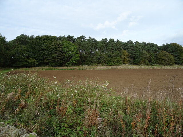
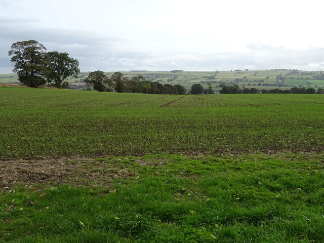
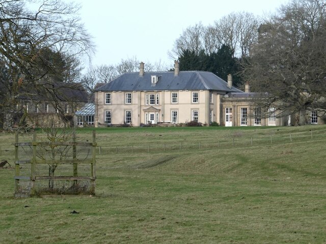
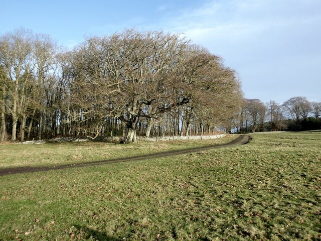
Birdshaw Plantation is a sprawling woodland located in Northumberland, England. Covering an area of approximately 100 hectares, it is nestled in the picturesque countryside and is renowned for its natural beauty and diverse flora and fauna.

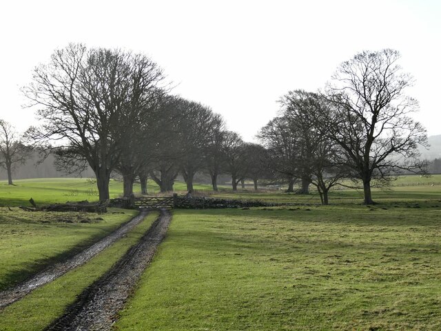
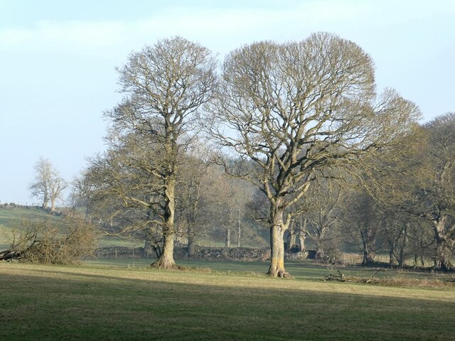
The plantation primarily consists of a mixed woodland, with a variety of tree species including oak, beech, and birch. These majestic trees provide a dense canopy, creating a tranquil and shaded environment. The forest floor is carpeted with a rich undergrowth of ferns, mosses, and wildflowers, adding to the enchanting atmosphere.

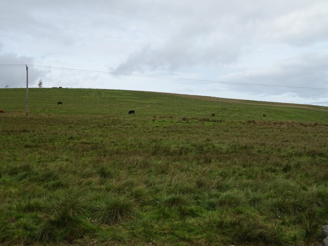
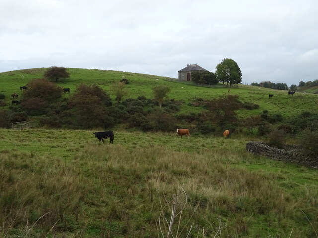
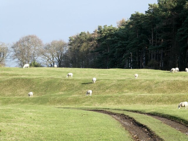
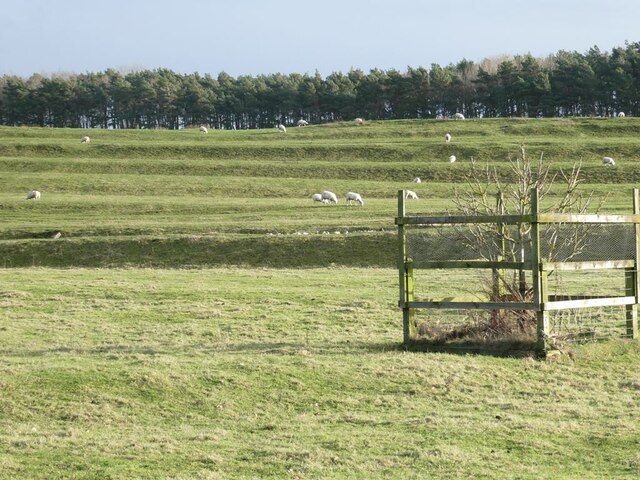
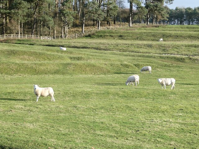
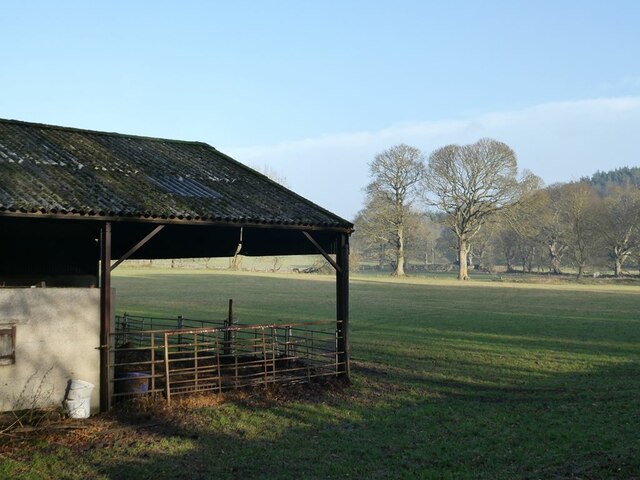
Birdshaw Plantation is a haven for wildlife enthusiasts, as it supports a wide range of animal species. The woodland is home to mammals such as deer, foxes, and badgers, as well as numerous bird species including woodpeckers, owls, and songbirds. Visitors may also be lucky enough to spot reptiles like adders and grass snakes, or even rare insects like the purple emperor butterfly.

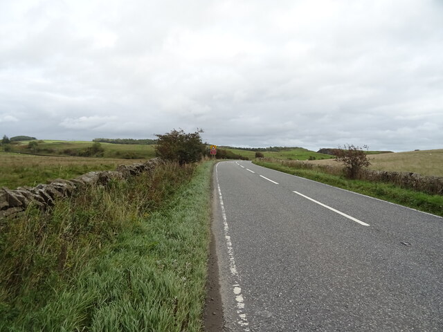
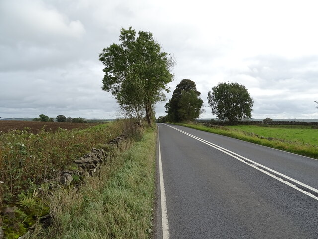
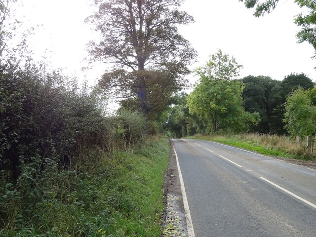
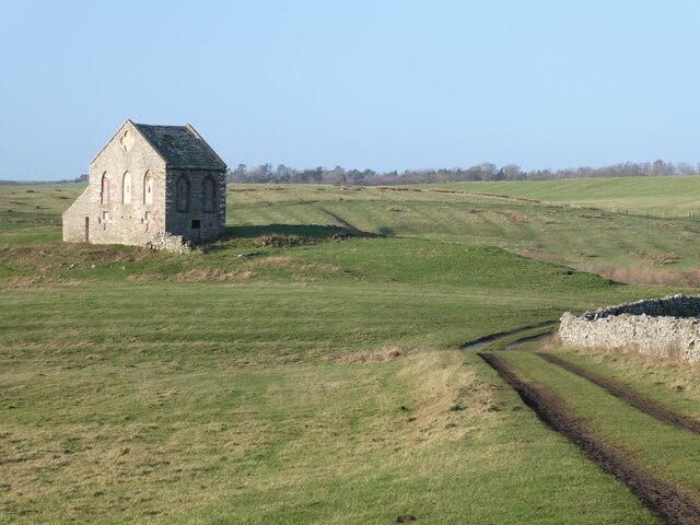
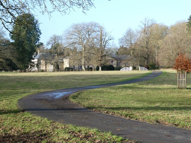
The plantation offers a network of well-maintained footpaths and trails, allowing visitors to explore the woodland at their own pace. Nature lovers can enjoy leisurely walks, birdwatching, or simply immerse themselves in the peaceful ambiance of this natural sanctuary. There are also designated picnic areas where visitors can relax and enjoy a meal amidst the beauty of the forest.

Birdshaw Plantation is not only a haven for wildlife and a popular destination for nature enthusiasts, but it also plays a vital role in preserving the local ecosystem. The woodland acts as a natural carbon sink, helping to mitigate the effects of climate change, and provides a valuable habitat for many threatened and endangered species.

If you have any feedback on the listing, please let us know in the comments section below.

Birdshaw Plantation Images

Images are sourced within 2km of 55.073681/-2.0926672 or Grid Reference NY9475. Thanks to Geograph Open Source API. All images are credited.

Hillside grazing North of the A68.
Hillside grazing
North of the A68.
A68 towards Corbridge
Cattle grazing near Dry Burn
Approaching a bend on the A68 Towards Corbridge.
Approaching a bend on the A68
Towards Corbridge.
Field and woodland west of Colwell
Dere Street Roman Road The A68 towards Corbridge.
Dere Street Roman Road
The A68 towards Corbridge.
Emerging crop near Wood Hall Farm Off the A6079.
Emerging crop near Wood Hall Farm
Off the A6079.
A6079 towards Chollerton
A view of Swinburne Castle The original castle, dating in part from the 14th century fell into disrepair many centuries ago. The main house standing in the middle of an extensive estate is surprisingly recent, dating from 1998. It stands on the site of an 18th century house which was demolished in 1960 because the owners could not sustain the cost of maintenance.  The single storey building to the right is the 18th century orangery (Grade II listed).
A view of Swinburne Castle
The original castle, dating in part from the 14th century fell into disrepair many centuries ago. The main house standing in the middle of an extensive estate is surprisingly recent, dating from 1998. It stands on the site of an 18th century house which was demolished in 1960 because the owners could not sustain the cost of maintenance. The single storey building to the right is the 18th century orangery (Grade II listed).
Estate road through the Swinburne Castle estate With status of public footpath.
Estate road through the Swinburne Castle estate
With status of public footpath.
Terraces and sheep on the Swinburne Castle estate These terraces are a prominent feature of the landscape a short way south of the Castle but their origin is obscure.
Terraces and sheep on the Swinburne Castle estate
These terraces are a prominent feature of the landscape a short way south of the Castle but their origin is obscure.
Terraces and sheep on the Swinburne Castle estate These terraces are a prominent feature of the landscape a short way south of the Castle but their origin is obscure. A scarcely visible ha-ha runs at the foot of the slope.
Terraces and sheep on the Swinburne Castle estate
These terraces are a prominent feature of the landscape a short way south of the Castle but their origin is obscure. A scarcely visible ha-ha runs at the foot of the slope.
Terraces and sheep on the Swinburne Castle estate These terraces are a prominent feature of the landscape a short way south of the Castle but their origin is obscure. A scarcely visible ha-ha runs across the  middle of the slope.
Terraces and sheep on the Swinburne Castle estate
These terraces are a prominent feature of the landscape a short way south of the Castle but their origin is obscure. A scarcely visible ha-ha runs across the middle of the slope.
Tithebarn, Great Swinburne Late 18th century tithe barn, Grade II listed. The grassy track is a disused public road which runs northwards to Barrasford Park.
Tithebarn, Great Swinburne
Late 18th century tithe barn, Grade II listed. The grassy track is a disused public road which runs northwards to Barrasford Park.
Barn and wintry trees on the Swinburne Castle estate
Wintry trees on the Swinburne Castle estate
Driveway to Swinburne Castle
Swinburne Castle The original castle, dating in part from the 14th century fell into disrepair many centuries ago. The eastern stable block seen here was built in 1760 and is Grade II* listed.
Swinburne Castle
The original castle, dating in part from the 14th century fell into disrepair many centuries ago. The eastern stable block seen here was built in 1760 and is Grade II* listed.
Show me another place!

Birdshaw Plantation is located at Grid Ref: NY9475 (Lat: 55.073681, Lng: -2.0926672)

Unitary Authority: Northumberland

Police Authority: Northumbria

What 3 Words

///excusing.beeline.binders. Near Birtley, Northumberland

Related Wikis

Colwell, Northumberland

Colwell is a hamlet in Northumberland, England. It is about 12 miles (19 km) to the north of Hexham. == Governance == Colwell is in the parliamentary constituency...

Little Swinburne Reservoir

Little Swinburne Reservoir is a small reservoir in Northumberland, England less than 1 mile (1.6 km) northeast of the A68 road, and about 9 miles (14 km...

Dere Street

Dere Street or Deere Street is a modern designation of a Roman road which ran north from Eboracum (York), crossing the Stanegate at Corbridge (Hadrian...

Colt Crag Reservoir

Colt Crag Reservoir is a relatively shallow reservoir in Northumberland, England adjacent to the A68 road, and 9 miles (14 km) north of Corbridge. The...

Hallington Reservoirs

Hallington Reservoirs are located near the small village of Colwell, Northumberland, England on the B6342 road off the A68 road, and 7 miles (11 km) north...

Barrasford railway station

Barrasford railway station served the village of Barrasford, Northumberland, England from 1859 to 1958 on the Border Counties Railway. == History == The...

Chollerton

Chollerton is a village in Northumberland, England, on the A6079 road about six miles (10 km) to the north of Hexham, on the River North Tyne. Nearby villages...

Barrasford

Barrasford is a village in Northumberland, England. It is situated to the north of Hexham, on the North Tyne. Barrasford is an ancient village that lies...

Nearby Amenities

Located within 500m of 55.073681,-2.0926672
Ox Hills
Place: locality
Lat/Long: 55.0751633/-2.0970356
Great Swinburne
Place: isolated_dwelling
Lat/Long: 55.0738712/-2.1001912
The data included in this document is from www.openstreetmap.org. The data is made available under ODbL.

Have you been to Birdshaw Plantation?

Leave your review of Birdshaw Plantation below (or comments, questions and feedback).