Coster Bank Plantation
Wood, Forest in Yorkshire Craven
England
Coster Bank Plantation
Coster Bank Plantation is a picturesque woodland located in the heart of Yorkshire, England. Covering an area of approximately 500 acres, this expansive forest is a haven for nature enthusiasts and outdoor adventurers alike. The plantation is nestled within the beautiful landscape of the Yorkshire Dales, offering breathtaking views and a tranquil setting.
The woodland, predominantly composed of deciduous trees such as oak, beech, and birch, boasts a rich variety of flora and fauna. The diverse ecosystem supports a wide range of wildlife, including deer, foxes, badgers, and numerous bird species. Walking through the woodland, visitors can expect to encounter vibrant wildflowers, lush ferns, and moss-covered rocks, adding to the enchanting atmosphere.
Coster Bank Plantation offers an extensive network of well-maintained walking trails, providing opportunities for leisurely strolls or more challenging hikes. The paths wind their way through the woodland, leading visitors to hidden gems such as tranquil ponds, babbling brooks, and ancient ruins. These trails are suitable for all ages and abilities, making the plantation an ideal destination for families and nature lovers.
In addition to its natural beauty, Coster Bank Plantation also plays a vital role in conservation efforts. The woodland is managed sustainably, with periodic tree planting and maintenance programs to ensure the preservation of the forest for generations to come.
Overall, Coster Bank Plantation offers a captivating and immersive experience for those seeking a connection with nature. Its idyllic setting, diverse wildlife, and well-maintained trails make it a must-visit destination for anyone exploring the Yorkshire countryside.
If you have any feedback on the listing, please let us know in the comments section below.
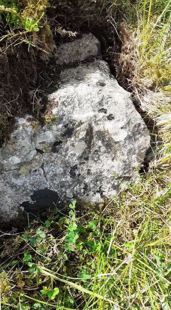
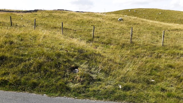
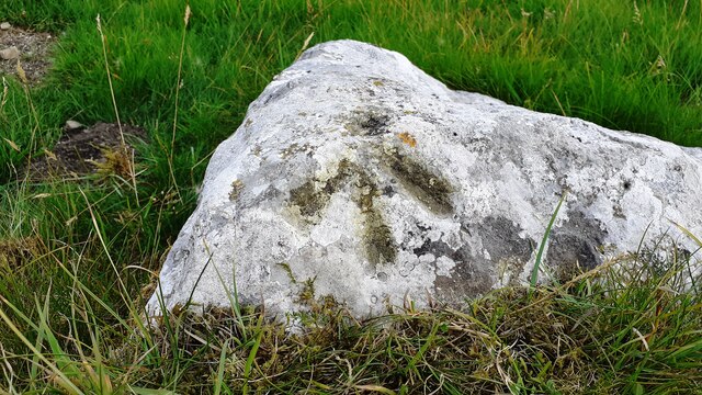
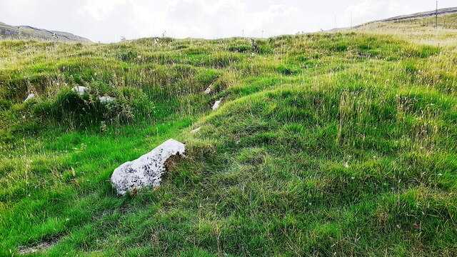
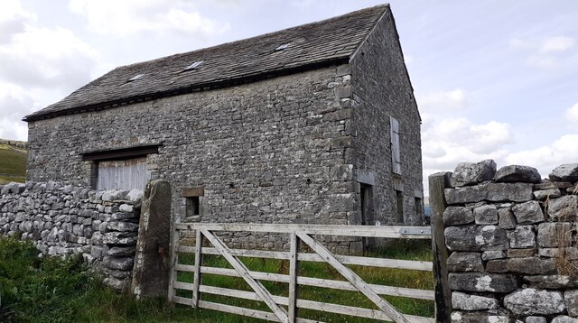
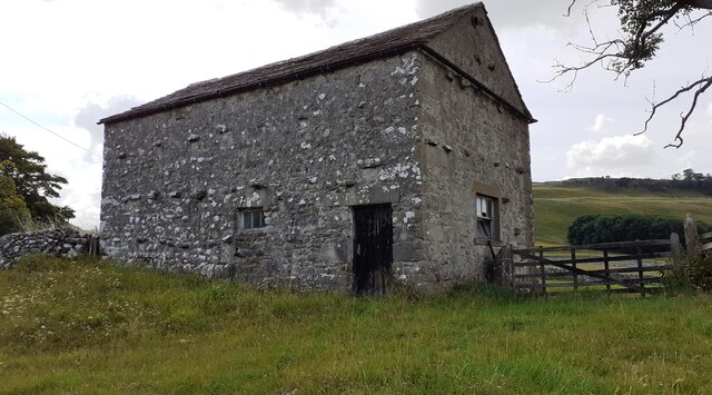
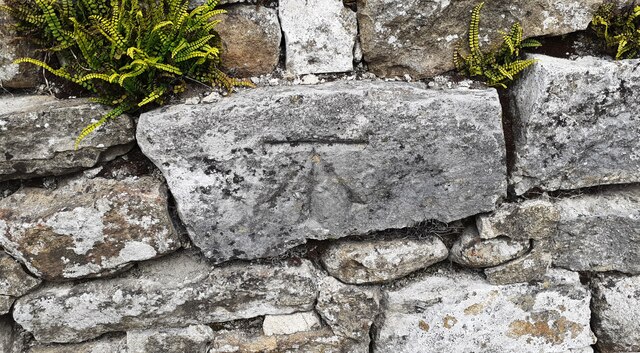
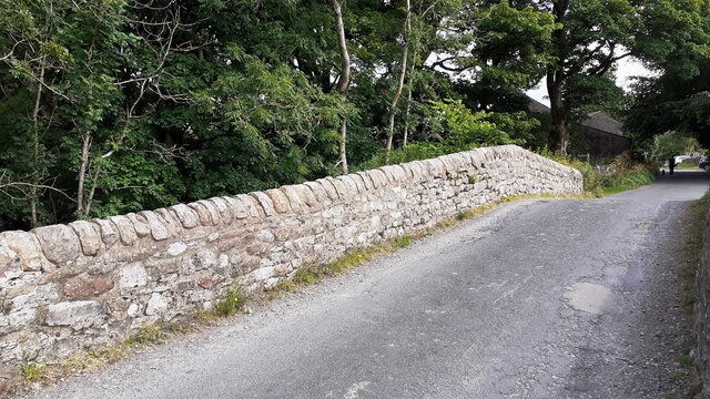
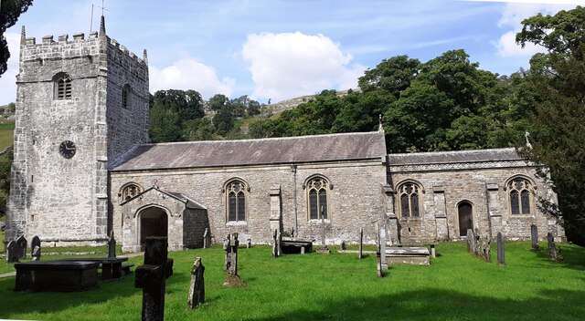
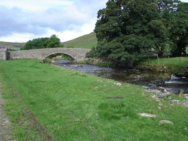
Coster Bank Plantation Images
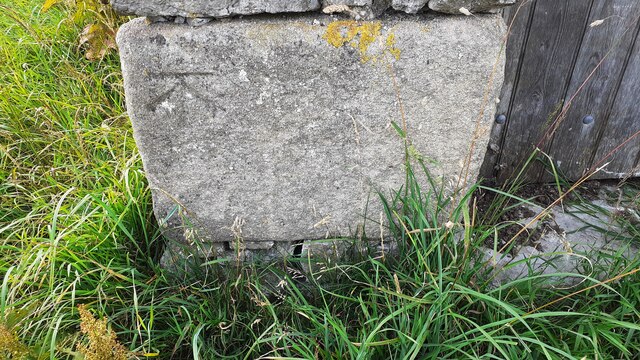
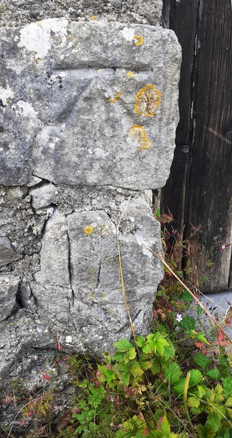
Images are sourced within 2km of 54.141641/-2.0905682 or Grid Reference SD9471. Thanks to Geograph Open Source API. All images are credited.


Coster Bank Plantation is located at Grid Ref: SD9471 (Lat: 54.141641, Lng: -2.0905682)
Division: West Riding
Administrative County: North Yorkshire
District: Craven
Police Authority: North Yorkshire
What 3 Words
///tidal.rare.camcorder. Near Grassington, North Yorkshire
Nearby Locations
Related Wikis


Related Videos

Yorkshire Dales Best Hikes for Beginners : Buckden Arncliffe & Hawswick
Yorkshire Dales Best Hikes for Beginners : Buckden Arncliffe & Hawswick #yorkshiredaleshiking #vanlife #vanlifeuk Explore the ...
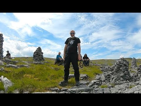
Dowkabottom Cairns July Family Walk Littondale
A lovely family walk upto the Cairns near Dowky Cave above and overlooking Hawkscliffe near Kilnsey Crag.

A Look Inside A Glamping Cabin at Littondale Country & Leisure Park
Have a look around the glamping cabins at Littondale Country & Leisure Park in the Yorkshire Dales National Park. See my full ...
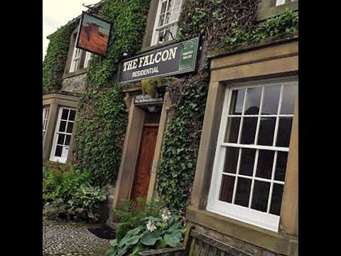
The Falcon Inn, 2 Castle Yd, Arncliffe, Skipton BD23 5QE
The Falcon Inn, 2 Castle Yd, Arncliffe, Skipton BD23 5QE.
Nearby Amenities
Located within 500m of 54.141641,-2.0905682Have you been to Coster Bank Plantation?
Leave your review of Coster Bank Plantation below (or comments, questions and feedback).