Aldwick Wood

Wood, Forest in Worcestershire Wychavon

England

Aldwick Wood

The flooded River Avon The flooded River Avon viewed from near the top of Bredon Hill.  The flooded river  sweeps around the village of Eckington in a great arc.  The northern end of the Malvern hills can be seen on the horizon on the left.
The flooded River Avon Credit: Philip Halling

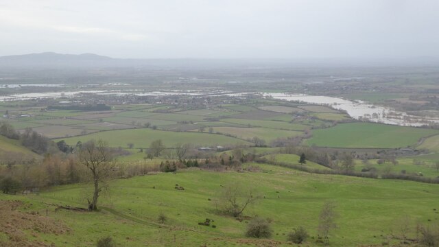
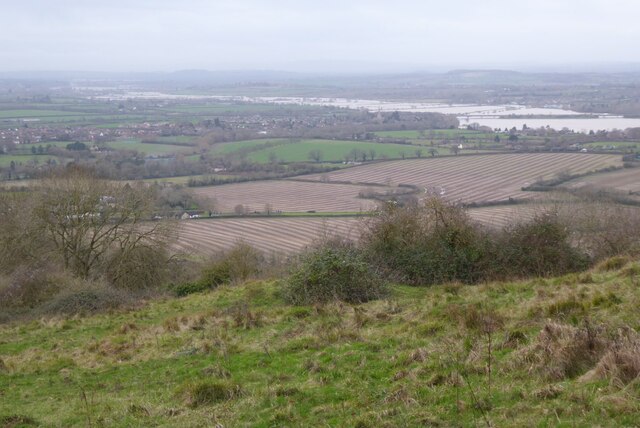
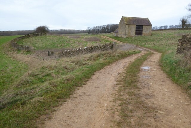
Aldwick Wood is a picturesque woodland located in Worcestershire, England. Nestled in the heart of the county, this enchanting forest spans approximately 50 acres and offers a serene and tranquil escape from the hustle and bustle of everyday life.

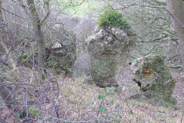
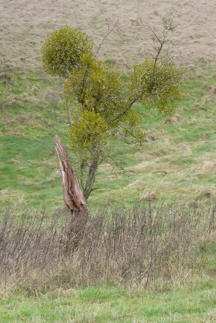
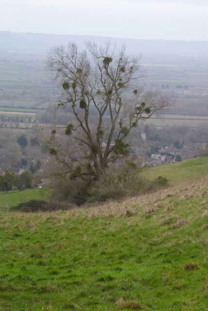
The wood is predominantly composed of deciduous trees, including oak, ash, and beech, which create a dense canopy overhead, filtering the sunlight and casting a dappled shade on the forest floor. The woodland is home to a diverse range of wildlife, providing a haven for birds, small mammals, and insects.

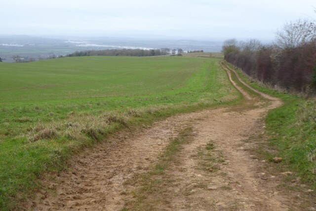
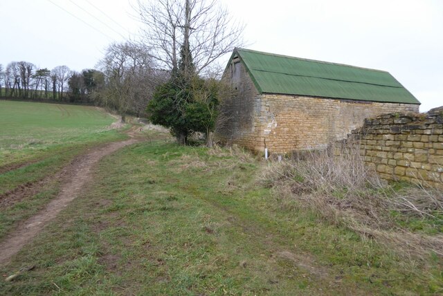
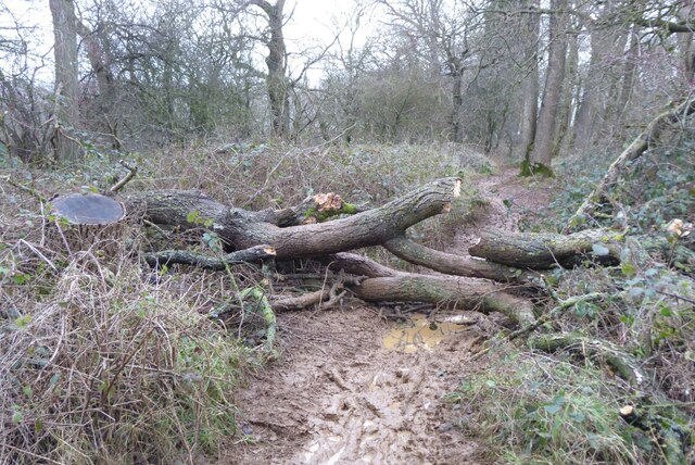
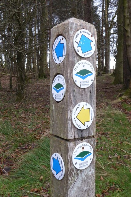
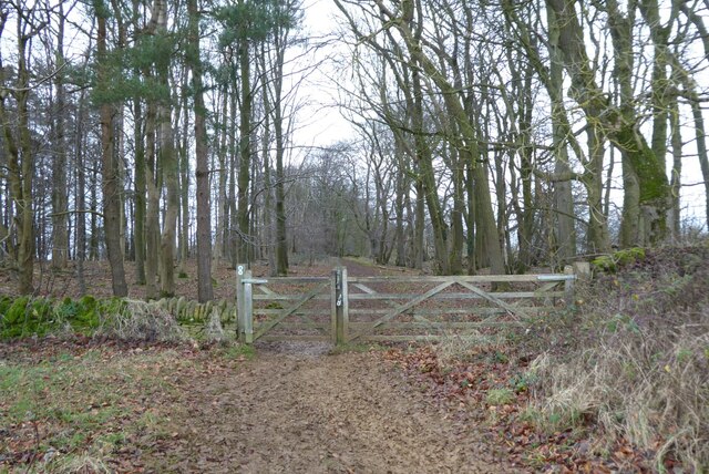
Visitors to Aldwick Wood can explore a network of well-maintained walking trails that meander through the trees, leading to hidden glades and secret clearings. The paths are surrounded by a rich tapestry of wildflowers and ferns, adding a splash of color to the verdant landscape. In spring, the forest floor is carpeted with bluebells, creating a breathtaking sight.

Nature enthusiasts will find plenty to admire in Aldwick Wood. The forest supports a variety of rare plant species, including wood sorrel and yellow archangel. Additionally, the wood is a popular destination for birdwatchers, with the presence of species such as great spotted woodpeckers, tawny owls, and chiffchaffs.

Aldwick Wood offers a peaceful retreat for those seeking solace in nature. Whether it's a leisurely stroll, a picnic among the trees, or simply immersing oneself in the calming ambiance, this woodland gem in Worcestershire is a delightful escape for all.

If you have any feedback on the listing, please let us know in the comments section below.
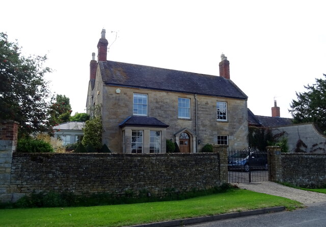
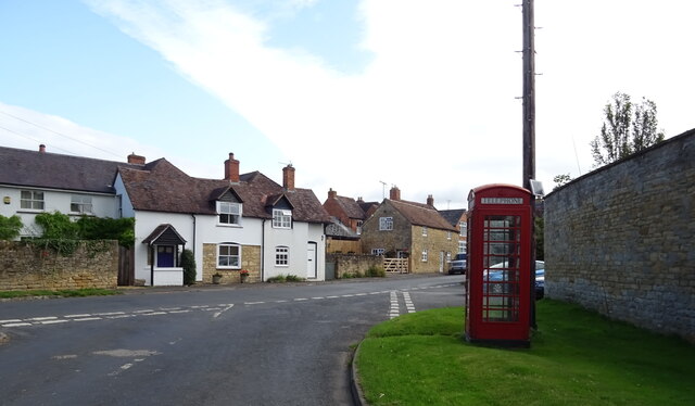
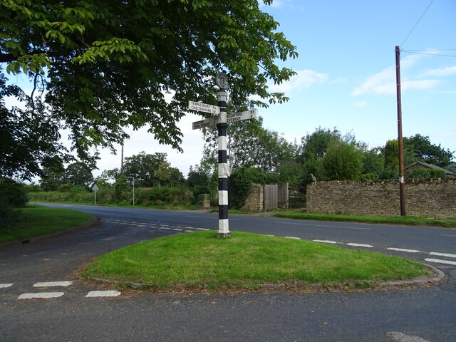
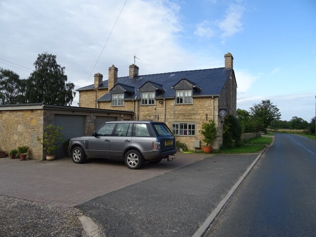
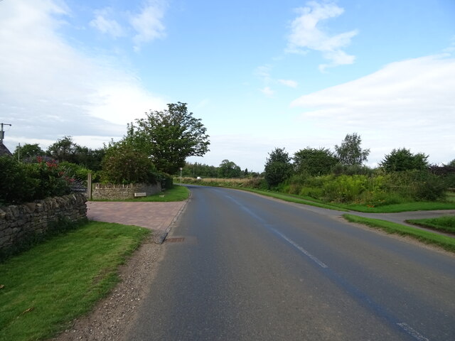
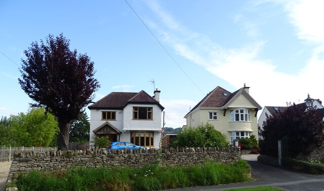
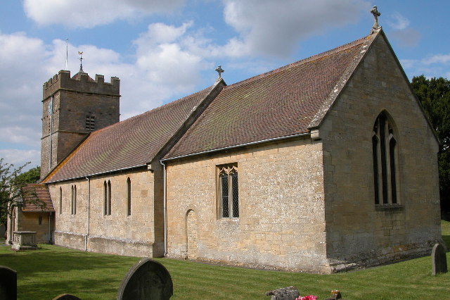
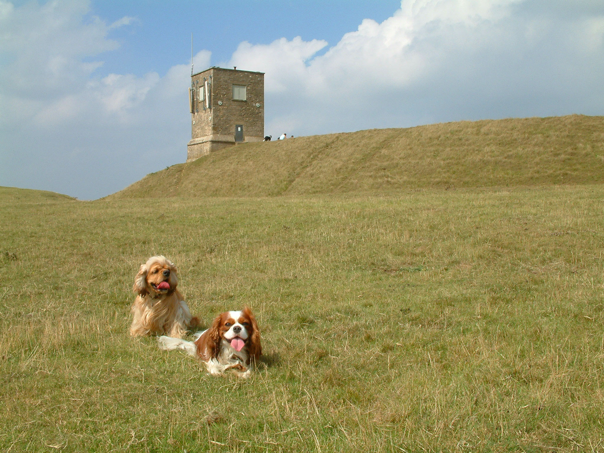
Aldwick Wood Images

Images are sourced within 2km of 52.047399/-2.0862328 or Grid Reference SO9438. Thanks to Geograph Open Source API. All images are credited.

The flooded River Avon The flooded River Avon viewed from near the top of Bredon Hill.  The flooded river  sweeps around the village of Eckington in a great arc.  The northern end of the Malvern hills can be seen on the horizon on the left.
The flooded River Avon
The flooded River Avon viewed from near the top of Bredon Hill. The flooded river sweeps around the village of Eckington in a great arc. The northern end of the Malvern hills can be seen on the horizon on the left.
King and Queen Stones King and Queen Stones on Bredon Hill.  The odd thing with these stones is that there are three. The belief in folklore is that passing between these two rocky outcrops, known as the 'King and Queen Stones' will cure any ailments.
King and Queen Stones
King and Queen Stones on Bredon Hill. The odd thing with these stones is that there are three. The belief in folklore is that passing between these two rocky outcrops, known as the 'King and Queen Stones' will cure any ailments.
View of the flooded River Avon View of the flooded River Avon from Bredon Hill.  The embankment carrying the M5 motorway to the south of Junction 8 can be seen crossing the flooded meadow opposite the village of Bredon.
View of the flooded River Avon
View of the flooded River Avon from Bredon Hill. The embankment carrying the M5 motorway to the south of Junction 8 can be seen crossing the flooded meadow opposite the village of Bredon.
Footpath and track near Sundial Farm Footpath and track near Sundial Farm on New Year's Day 2024.
Footpath and track near Sundial Farm
Footpath and track near Sundial Farm on New Year's Day 2024.
Mistletoe on an old tree Mistletoe on an old tree on Bredon Hill.
Mistletoe on an old tree
Mistletoe on an old tree on Bredon Hill.
Mistletoe in a tree Mistletoe is widespread in the counties of Gloucestershire, Worcestershire and Herefordshire.  Traditionally it has grown as a parasite on fruit trees in orchard but as can be seen here it grows on other trees such as this one which I think is an ash tree.
Mistletoe in a tree
Mistletoe is widespread in the counties of Gloucestershire, Worcestershire and Herefordshire. Traditionally it has grown as a parasite on fruit trees in orchard but as can be seen here it grows on other trees such as this one which I think is an ash tree.
Barn at the top of the lane This barn on Bredon Hill appears to have been reroofed since I last photographed it in 2007 <a href="https://www.geograph.org.uk/photo/524620">SO9538 : Barn on Bredon Hill</a>.
Barn at the top of the lane
This barn on Bredon Hill appears to have been reroofed since I last photographed it in 2007 SO9538 : Barn on Bredon Hill.
Bell's Castle Bell's Castle on the southern slopes of Bredon Hill.  The house is said to have been built for Captain Bell a buccaneer during the Napoleonic Wars.  The house is Grade II listed, see: <span class="nowrap"><a title="https://historicengland.org.uk/listing/the-list/list-entry/1349974?section=official-list-entry" rel="nofollow ugc noopener" href="https://historicengland.org.uk/listing/the-list/list-entry/1349974?section=official-list-entry">Link</a><img style="margin-left:2px;" alt="External link" title="External link - shift click to open in new window" src="https://s1.geograph.org.uk/img/external.png" width="10" height="10"/></span>
Bell's Castle
Bell's Castle on the southern slopes of Bredon Hill. The house is said to have been built for Captain Bell a buccaneer during the Napoleonic Wars. The house is Grade II listed, see: LinkExternal link
Sundial Farm Sundial Farm, high on Bredon Hill.
Sundial Farm
Sundial Farm, high on Bredon Hill.
Fallen tree Fallen tree lying across a bridleway near the summit of Bredon Hill.
Fallen tree
Fallen tree lying across a bridleway near the summit of Bredon Hill.
A choice of paths A footpath sign on Bredon Hill.  This is also the route of the Wychavon Way.
A choice of paths
A footpath sign on Bredon Hill. This is also the route of the Wychavon Way.
The Wychavon Way, Bredon Hill The Wychavon Way near the summit of Bredon Hill, entering a wood.
The Wychavon Way, Bredon Hill
The Wychavon Way near the summit of Bredon Hill, entering a wood.
Stone house on Kinsham Lane, Kemerton
Cottages on High Street, Kemerton
Fingerpost, Kemerton
House on Kemerton Road
Kemerton Road Heading west.
Kemerton Road
Heading west.
Houses on Kemerton Road, Lower Westmancote
Show me another place!

Aldwick Wood is located at Grid Ref: SO9438 (Lat: 52.047399, Lng: -2.0862328)

Administrative County: Worcestershire

District: Wychavon

Police Authority: West Mercia

What 3 Words

///cable.gravitate.fortress. Near Bredon, Worcestershire

Nearby Locations

Aldwick Wood

Related Wikis

Bredon's Norton

Bredon's Norton or Norton-by-Bredon is a village and civil parish 11 miles (18 km) south east of Worcester, in the Wychavon district, in the county of...

Kemerton

Kemerton is a village and civil parish in Worcestershire in England. It lies at the extreme south of the county in the local government district of Wychavon...

Overbury Court

Overbury Court is a Georgian style country house in Overbury, Worcestershire, England. It is a privately owned Grade II* listed building. It is built in...

Overbury

Overbury is a village and civil parish in Worcestershire, England, midway between Evesham and Tewkesbury south of Bredon Hill. The manor of Overbury was...

Kemerton Court

Kemerton Court is the principal manor house of the village of Kemerton, near Tewkesbury in Gloucestershire. The house is built of local Cotswold stone...

Bredon Hill

Bredon Hill is a hill in Worcestershire, England, south-west of Evesham in the Vale of Evesham. The summit of the hill is in the parish of Kemerton, and...

Bredon Hill Hoard

The Bredon Hill Hoard (also known as the Bredon Hill Roman Coin Hoard) is a hoard of 3,784 debased silver Roman coins discovered in June 2011 by two metal...

Bredon railway station

Bredon railway station was on the Birmingham–Gloucester railway line to the north of Ashchurch for Tewkesbury railway station. The station closed in 1965...

Related Videos

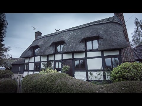
Walking Through a Cotswold Village as the Last Dregs of Civil Dawn Turn to Daylight

So, today we are out and about walking in the village of Bredon's Norton which is a civil parish 11 miles south east of Worcester in ...

A few hours exploring Bredon Hill ¦ Deadlock

Following the Malvern Hills walking video, I thought I'd do another but, this time, up Bredon Hill. Still Worcestershire, less than 10 ...

November sunset at Bredon hill Worcestershire

An early evening stroll up to the tower to see the sunset. Brendon hill Worcestershire.

Bredon Hill Walk

We walked up from Westmancote, past the King & Queen Stones to the top of the hill.

Nearby Amenities

Located within 500m of 52.047399,-2.0862328
Barrier: stile
Lat/Long: 52.0436125/-2.0851876
Natural: spring
Source: OS 1:25k
Lat/Long: 52.0512159/-2.0888355
King and Queen Stones
Historic: yes
Natural: stone
Lat/Long: 52.0462157/-2.0805992
The data included in this document is from www.openstreetmap.org. The data is made available under ODbL.

Have you been to Aldwick Wood?

Leave your review of Aldwick Wood below (or comments, questions and feedback).