Peaslands Plantation
Wood, Forest in Northumberland
England
Peaslands Plantation
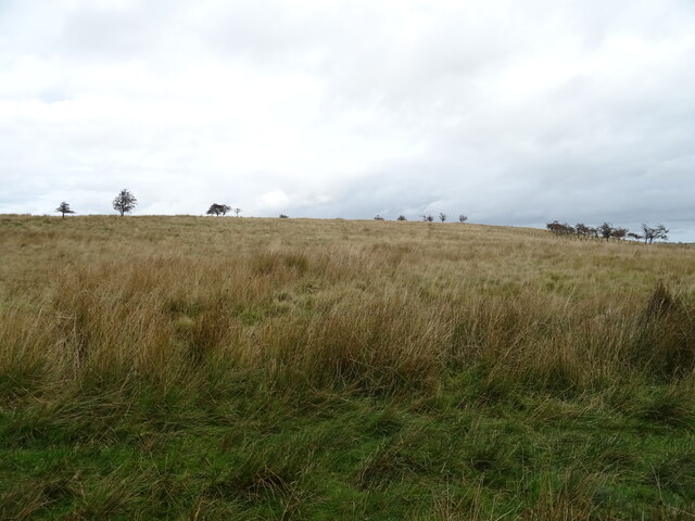
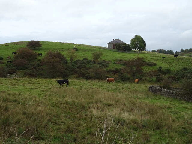
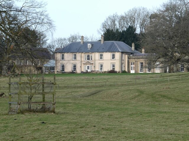
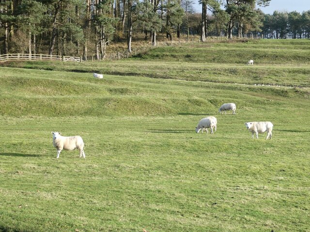
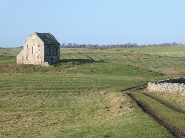
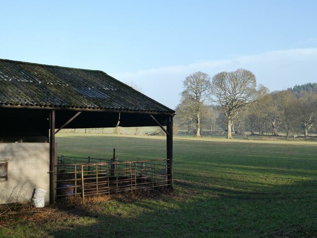
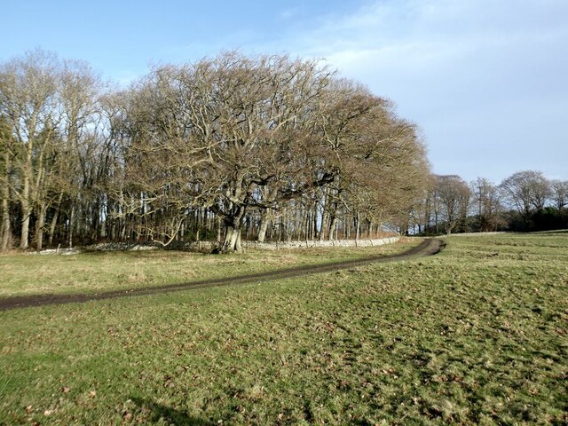
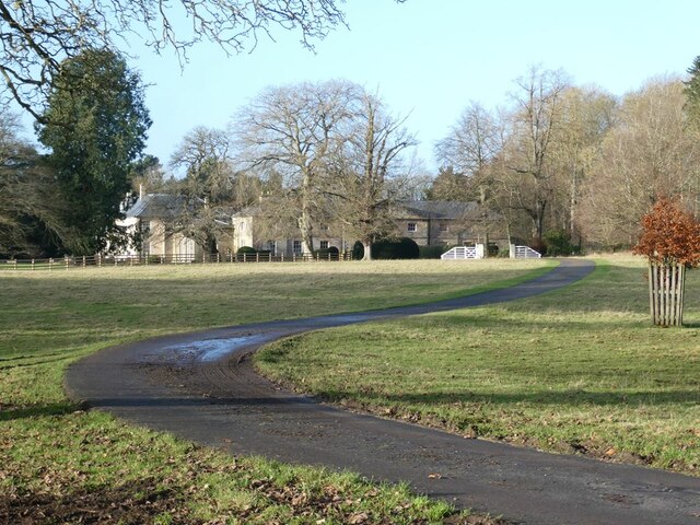
Peaslands Plantation is a picturesque woodland located in Northumberland, a historic county in the northeast of England. The plantation spans an area of approximately 200 acres and is renowned for its diverse and lush vegetation, making it a popular destination for nature enthusiasts and hikers.
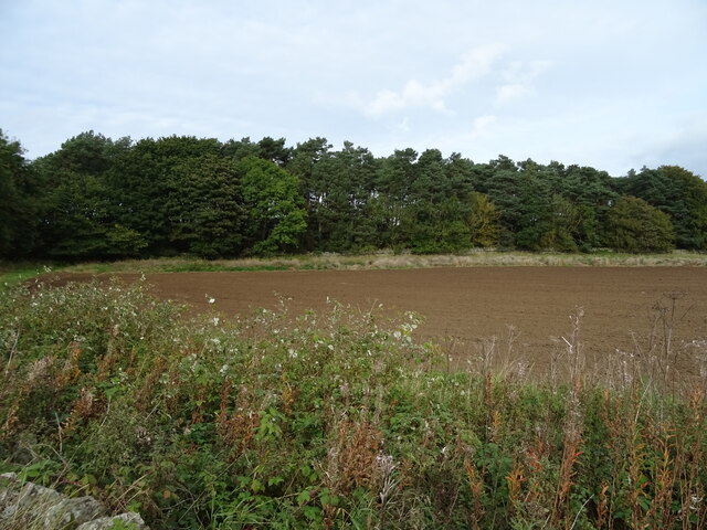
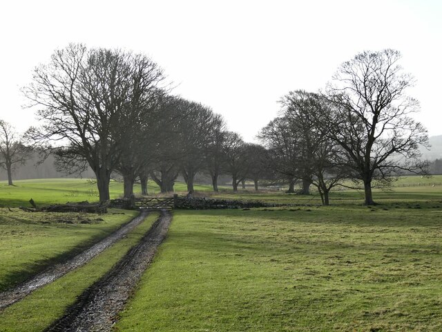
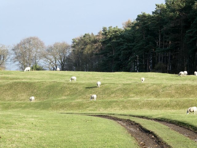
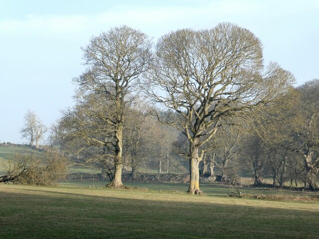
The woodland is characterized by a mix of deciduous and coniferous trees, creating a vibrant and colorful canopy throughout the year. Towering oak, beech, and ash trees dominate the landscape, interspersed with spruce and pine trees. This rich variety of trees provides a habitat for numerous bird species, including woodpeckers, owls, and various songbirds, making it an ideal spot for birdwatching.
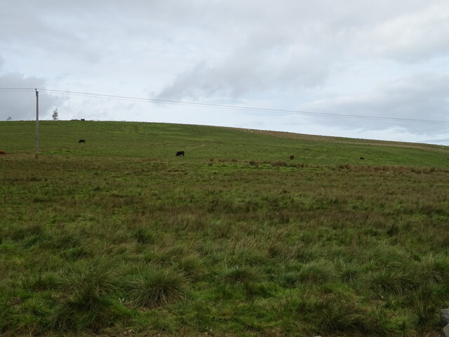
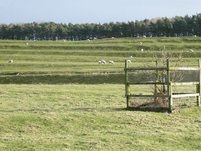
Tranquil streams and small ponds can be found meandering through the woodland, adding to the serenity and beauty of the surroundings. The plantation is also home to a diverse range of wildlife, including deer, foxes, and rabbits, making it a haven for nature lovers and photographers.
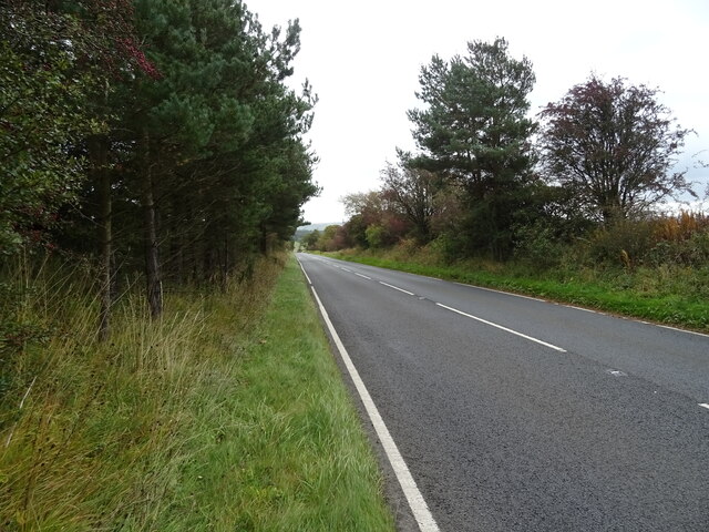
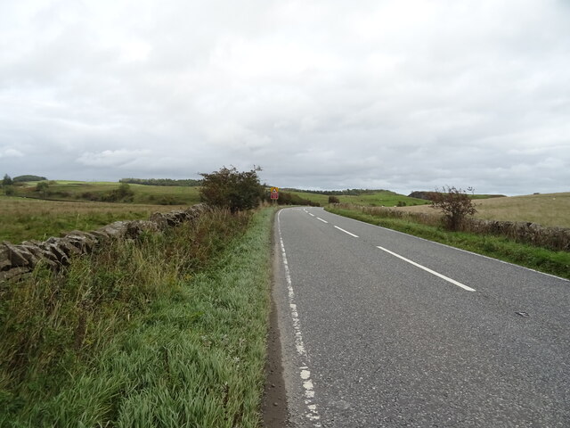
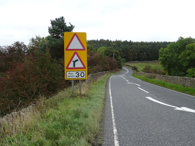
Peaslands Plantation offers a network of well-maintained trails and paths, allowing visitors to explore the woodland at their own pace. These trails cater to all levels of fitness and offer stunning views of the surrounding countryside. The plantation is also equipped with picnic areas and benches, providing visitors with the opportunity to relax and enjoy the tranquil atmosphere.
Peaslands Plantation is a true gem in Northumberland, offering a peaceful retreat for those seeking solace in nature's embrace. Its breathtaking beauty and abundant wildlife make it a must-visit destination for anyone exploring the region.
If you have any feedback on the listing, please let us know in the comments section below.
Peaslands Plantation Images
Images are sourced within 2km of 55.078355/-2.0919106 or Grid Reference NY9475. Thanks to Geograph Open Source API. All images are credited.
Peaslands Plantation is located at Grid Ref: NY9475 (Lat: 55.078355, Lng: -2.0919106)
Unitary Authority: Northumberland
Police Authority: Northumbria
What 3 Words
///sensitive.lecturing.river. Near Birtley, Northumberland
Nearby Locations
Related Wikis

Little Swinburne Reservoir
Little Swinburne Reservoir is a small reservoir in Northumberland, England less than 1 mile (1.6 km) northeast of the A68 road, and about 9 miles (14 km...
Colwell, Northumberland
Colwell is a hamlet in Northumberland, England. It is about 12 miles (19 km) to the north of Hexham. == Governance == Colwell is in the parliamentary constituency...

Colt Crag Reservoir
Colt Crag Reservoir is a relatively shallow reservoir in Northumberland, England adjacent to the A68 road, and 9 miles (14 km) north of Corbridge. The...

Hallington Reservoirs
Hallington Reservoirs are located near the small village of Colwell, Northumberland, England on the B6342 road off the A68 road, and 7 miles (11 km) north...

Dere Street
Dere Street or Deere Street is a modern designation of a Roman road which ran north from Eboracum (York), crossing the Stanegate at Corbridge (Hadrian...
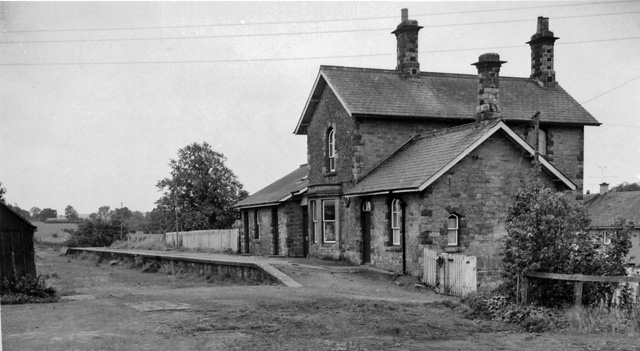
Barrasford railway station
Barrasford railway station served the village of Barrasford, Northumberland, England from 1859 to 1958 on the Border Counties Railway. == History == The...

Chollerton
Chollerton is a village in Northumberland, England, on the A6079 road about six miles (10 km) to the north of Hexham, on the River North Tyne. Nearby villages...

Barrasford
Barrasford is a village in Northumberland, England. It is situated to the north of Hexham, on the North Tyne. Barrasford is an ancient village that lies...
Nearby Amenities
Located within 500m of 55.078355,-2.0919106Have you been to Peaslands Plantation?
Leave your review of Peaslands Plantation below (or comments, questions and feedback).