Carter Plantation

Wood, Forest in Northumberland

England

Carter Plantation

Hillside grazing North of the A68.
Hillside grazing Credit: JThomas

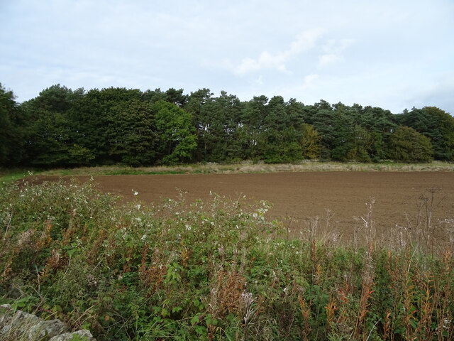
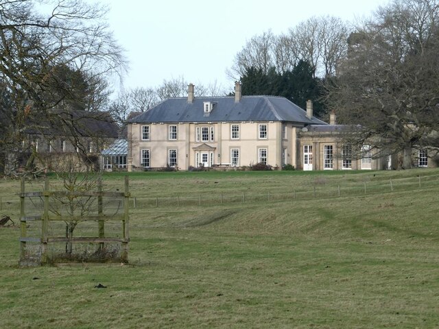
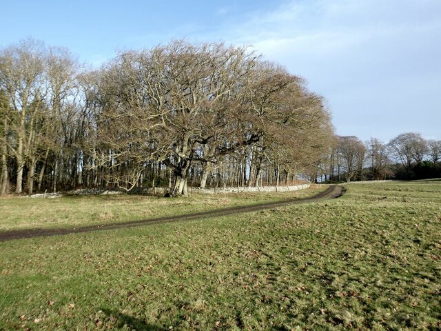
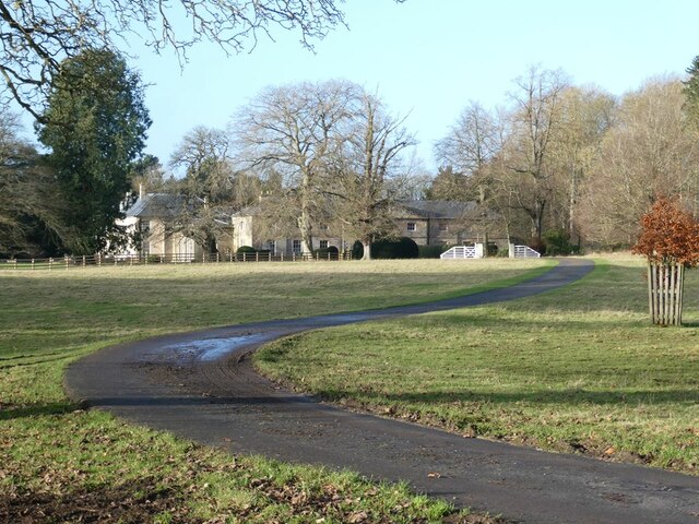
Carter Plantation, located in the picturesque region of Northumberland, is a stunning wood forest that offers visitors a tranquil and immersive nature experience. Spanning across a vast area, this plantation is renowned for its diverse range of flora and fauna, making it a haven for nature enthusiasts.

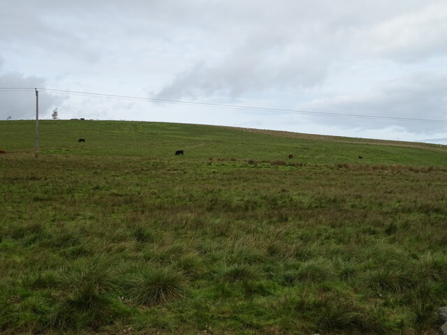
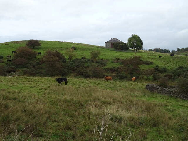
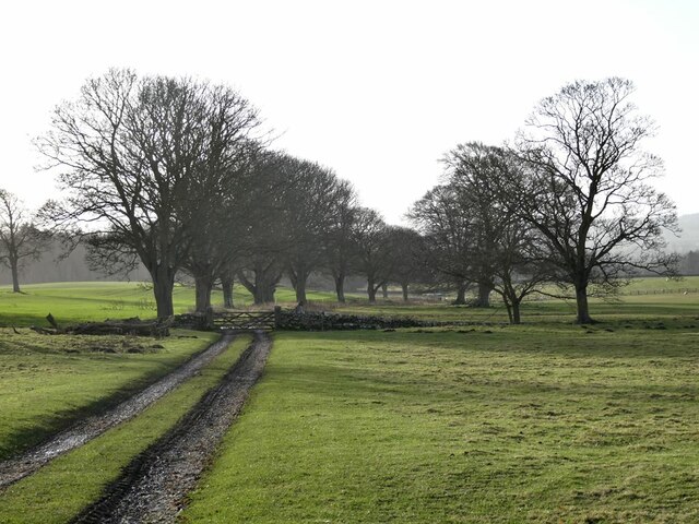
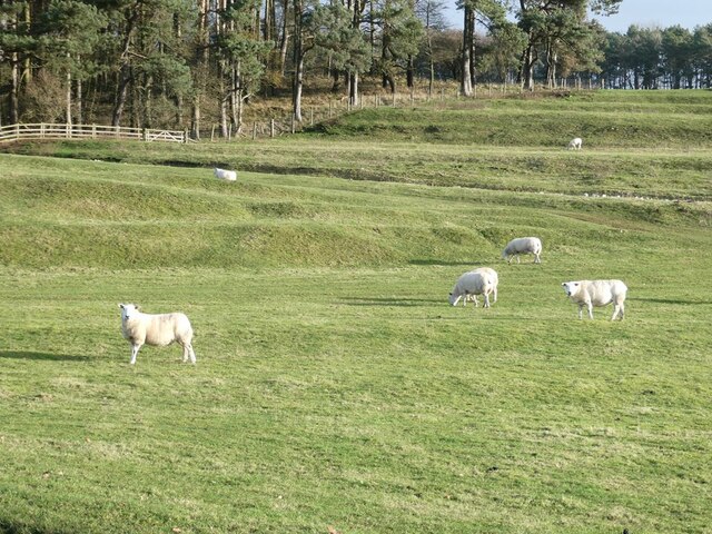
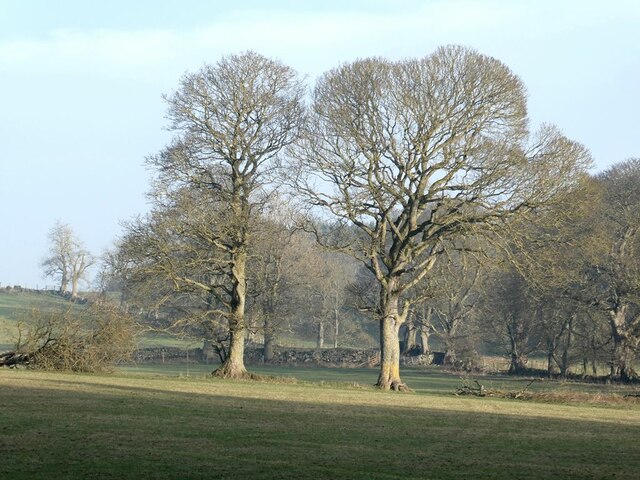
The woodland of Carter Plantation is characterized by its lush greenery and towering trees, creating a serene atmosphere that invites visitors to explore its beauty. The forest is predominantly composed of native tree species such as oak, ash, and beech, which provide a rich habitat for various wildlife.

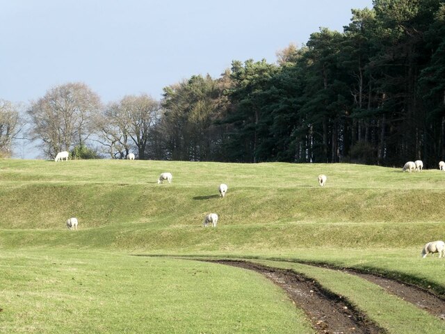
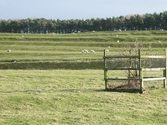
Walking through the plantation, visitors can expect to encounter a variety of animals, including deer, foxes, and numerous species of birds. The diverse ecosystem within Carter Plantation supports a wide range of birdlife, making it a popular spot for birdwatchers. Additionally, the plantation is home to several rare and endangered species, further highlighting its ecological significance.

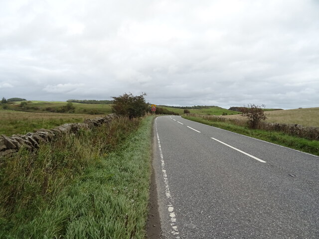
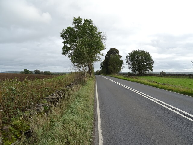
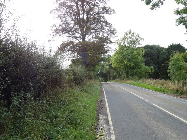
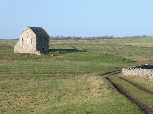
Aside from its natural beauty, Carter Plantation also boasts a network of well-maintained trails that offer visitors the opportunity to immerse themselves in the woodland environment. Whether it's a leisurely hike or a more challenging walk, these trails cater to all fitness levels and provide breathtaking views of the surrounding landscape.

For those interested in learning more about the plantation's history and conservation efforts, guided tours and educational programs are available. These initiatives aim to promote awareness and appreciation for the importance of preserving this natural gem.

Overall, Carter Plantation in Northumberland is a must-visit destination for nature lovers, offering a unique blend of scenic beauty, diverse wildlife, and educational experiences.

If you have any feedback on the listing, please let us know in the comments section below.

Carter Plantation Images

Images are sourced within 2km of 55.07408/-2.0879072 or Grid Reference NY9475. Thanks to Geograph Open Source API. All images are credited.

Hillside grazing North of the A68.
Hillside grazing
North of the A68.
A68 towards Corbridge
Cattle grazing near Dry Burn
Approaching a bend on the A68 Towards Corbridge.
Approaching a bend on the A68
Towards Corbridge.
Field and woodland west of Colwell
Dere Street Roman Road The A68 towards Corbridge.
Dere Street Roman Road
The A68 towards Corbridge.
Emerging crop near Wood Hall Farm Off the A6079.
Emerging crop near Wood Hall Farm
Off the A6079.
A6079 towards Chollerton
A view of Swinburne Castle The original castle, dating in part from the 14th century fell into disrepair many centuries ago. The main house standing in the middle of an extensive estate is surprisingly recent, dating from 1998. It stands on the site of an 18th century house which was demolished in 1960 because the owners could not sustain the cost of maintenance.  The single storey building to the right is the 18th century orangery (Grade II listed).
A view of Swinburne Castle
The original castle, dating in part from the 14th century fell into disrepair many centuries ago. The main house standing in the middle of an extensive estate is surprisingly recent, dating from 1998. It stands on the site of an 18th century house which was demolished in 1960 because the owners could not sustain the cost of maintenance. The single storey building to the right is the 18th century orangery (Grade II listed).
Estate road through the Swinburne Castle estate With status of public footpath.
Estate road through the Swinburne Castle estate
With status of public footpath.
Terraces and sheep on the Swinburne Castle estate These terraces are a prominent feature of the landscape a short way south of the Castle but their origin is obscure.
Terraces and sheep on the Swinburne Castle estate
These terraces are a prominent feature of the landscape a short way south of the Castle but their origin is obscure.
Terraces and sheep on the Swinburne Castle estate These terraces are a prominent feature of the landscape a short way south of the Castle but their origin is obscure. A scarcely visible ha-ha runs at the foot of the slope.
Terraces and sheep on the Swinburne Castle estate
These terraces are a prominent feature of the landscape a short way south of the Castle but their origin is obscure. A scarcely visible ha-ha runs at the foot of the slope.
Terraces and sheep on the Swinburne Castle estate These terraces are a prominent feature of the landscape a short way south of the Castle but their origin is obscure. A scarcely visible ha-ha runs across the  middle of the slope.
Terraces and sheep on the Swinburne Castle estate
These terraces are a prominent feature of the landscape a short way south of the Castle but their origin is obscure. A scarcely visible ha-ha runs across the middle of the slope.
Tithebarn, Great Swinburne Late 18th century tithe barn, Grade II listed. The grassy track is a disused public road which runs northwards to Barrasford Park.
Tithebarn, Great Swinburne
Late 18th century tithe barn, Grade II listed. The grassy track is a disused public road which runs northwards to Barrasford Park.
Barn and wintry trees on the Swinburne Castle estate
Wintry trees on the Swinburne Castle estate
Driveway to Swinburne Castle
Swinburne Castle The original castle, dating in part from the 14th century fell into disrepair many centuries ago. The eastern stable block seen here was built in 1760 and is Grade II* listed.
Swinburne Castle
The original castle, dating in part from the 14th century fell into disrepair many centuries ago. The eastern stable block seen here was built in 1760 and is Grade II* listed.
Show me another place!

Carter Plantation is located at Grid Ref: NY9475 (Lat: 55.07408, Lng: -2.0879072)

Unitary Authority: Northumberland

Police Authority: Northumbria

What 3 Words

///violin.slugs.candles. Near Birtley, Northumberland

Related Wikis

Colwell, Northumberland

Colwell is a hamlet in Northumberland, England. It is about 12 miles (19 km) to the north of Hexham. == Governance == Colwell is in the parliamentary constituency...

Little Swinburne Reservoir

Little Swinburne Reservoir is a small reservoir in Northumberland, England less than 1 mile (1.6 km) northeast of the A68 road, and about 9 miles (14 km...

Dere Street

Dere Street or Deere Street is a modern designation of a Roman road which ran north from Eboracum (York), crossing the Stanegate at Corbridge (Hadrian...

Hallington Reservoirs

Hallington Reservoirs are located near the small village of Colwell, Northumberland, England on the B6342 road off the A68 road, and 7 miles (11 km) north...

Nearby Amenities

Located within 500m of 55.07408,-2.0879072
The data included in this document is from www.openstreetmap.org. The data is made available under ODbL.

Have you been to Carter Plantation?

Leave your review of Carter Plantation below (or comments, questions and feedback).