Hillgill Plantation
Wood, Forest in Yorkshire
England
Hillgill Plantation
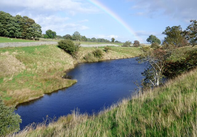
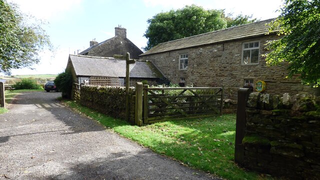
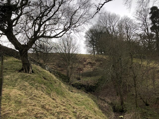
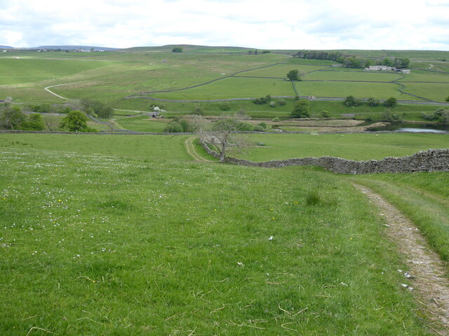
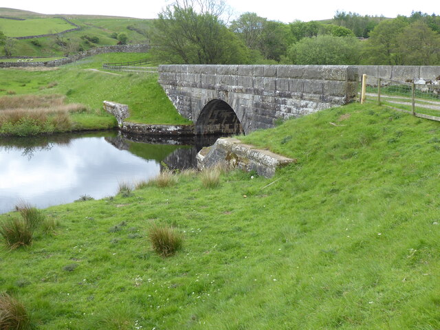
Hillgill Plantation is a picturesque woodland located in the county of Yorkshire, England. Situated amidst the rolling hills and verdant landscapes of the region, it covers a vast expanse of land, making it an ideal destination for nature enthusiasts and outdoor lovers alike.
The plantation is known for its diverse range of tree species, including oak, birch, beech, and pine, which create a rich and vibrant tapestry of colors throughout the year. It is also home to a variety of wildlife, such as deer, rabbits, squirrels, and numerous bird species, making it a haven for wildlife enthusiasts and birdwatchers.
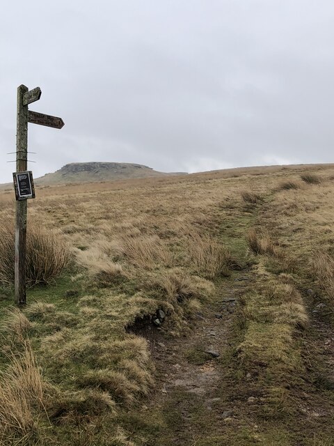
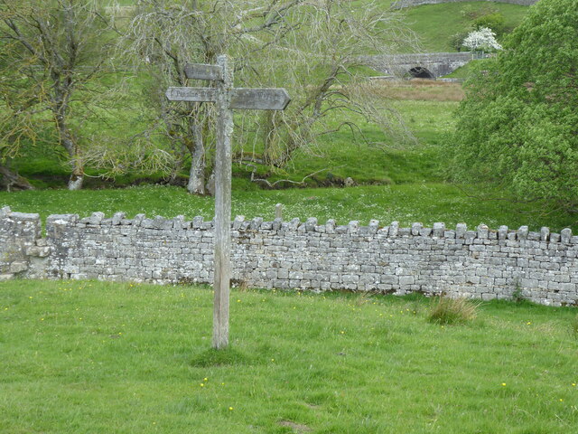
Visitors to Hillgill Plantation can explore its extensive network of walking trails and paths, which wind their way through the woodland and offer breathtaking views of the surrounding countryside. These trails cater to all levels of fitness and provide an opportunity to immerse oneself in the tranquility and serenity of nature.
The plantation is also a popular destination for recreational activities such as picnicking, camping, and photography. Its idyllic setting provides a peaceful and serene environment, making it an ideal spot for relaxation and escape from the hustle and bustle of everyday life.
Hillgill Plantation is open to the public year-round, with ample parking facilities and well-maintained amenities. Whether one seeks solitude, adventure, or simply a connection with nature, a visit to this enchanting woodland is sure to leave a lasting impression.
If you have any feedback on the listing, please let us know in the comments section below.
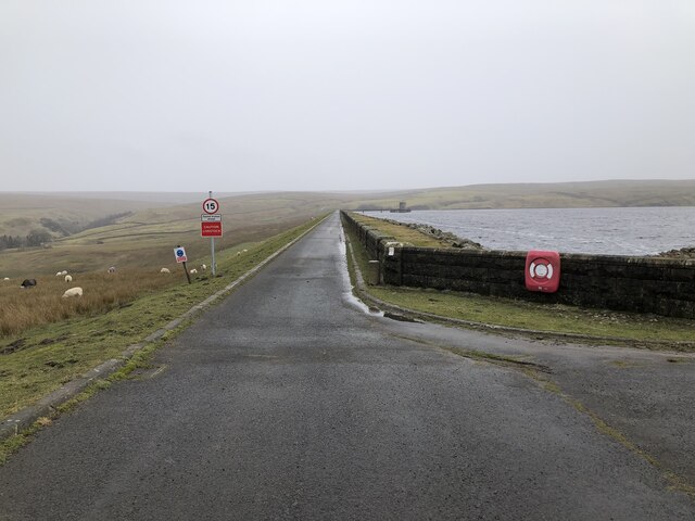
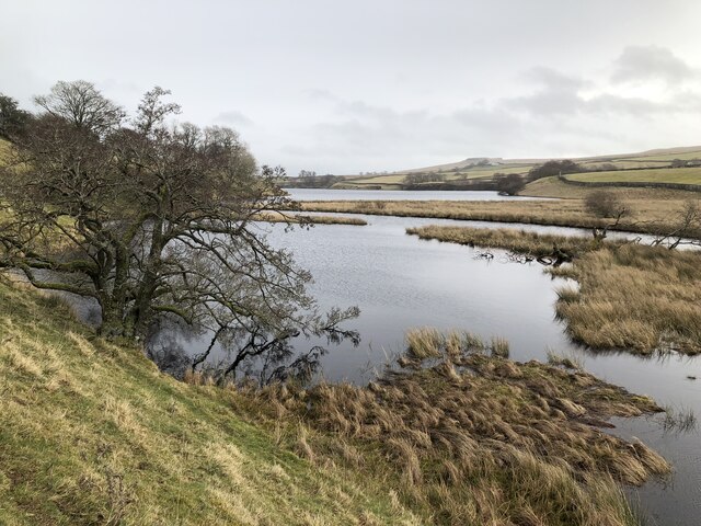
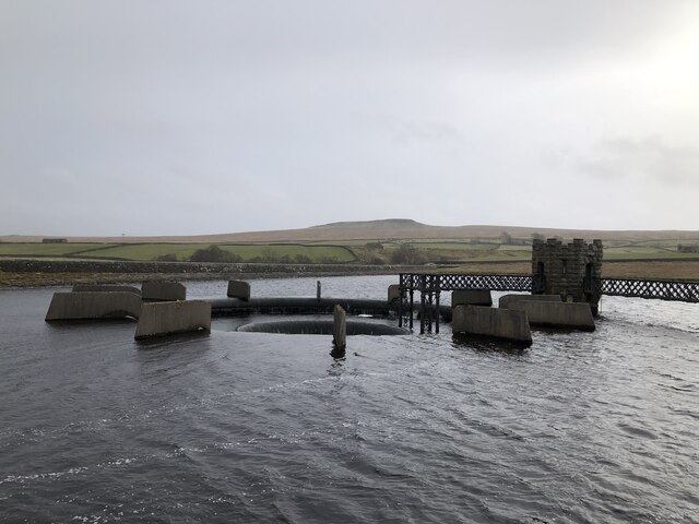
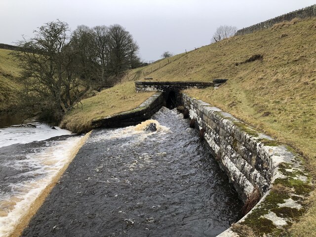
Hillgill Plantation Images
Images are sourced within 2km of 54.570622/-2.0924165 or Grid Reference NY9419. Thanks to Geograph Open Source API. All images are credited.
Hillgill Plantation is located at Grid Ref: NY9419 (Lat: 54.570622, Lng: -2.0924165)
Division: North Riding
Unitary Authority: County Durham
Police Authority: Durham
What 3 Words
///figure.latter.shielding. Near Mickleton, Co. Durham
Nearby Locations
Related Wikis

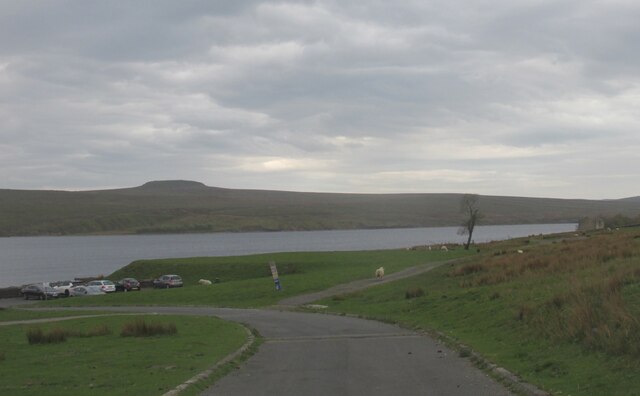
Baldersdale
Baldersdale is a dale, or valley, on the east side of the Pennines in England, northwest of Barnard Castle. Its principal settlements are Hury and Briscoe...

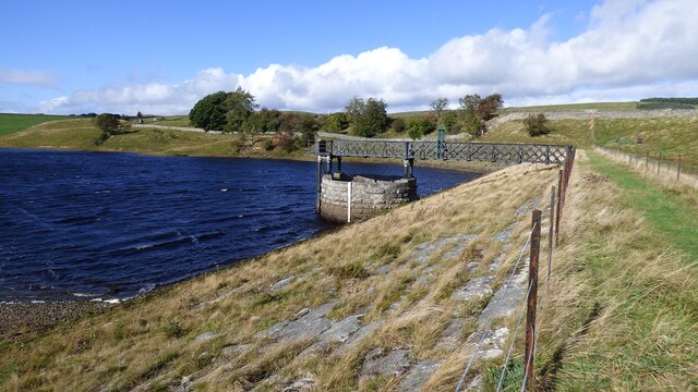
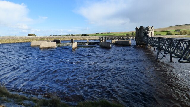
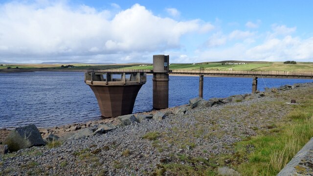
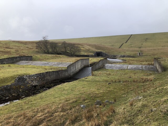
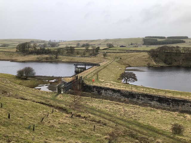
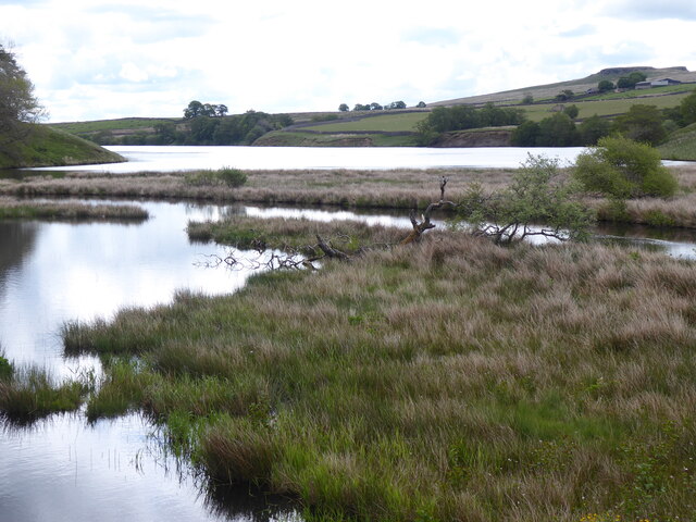
Blackton Reservoir
Blackton Reservoir is a reservoir in County Durham, England. It is situated in Baldersdale, about 4 miles (7 km) west of Cotherstone, where the River Balder...

Hannah's Meadows
Hannah's Meadows is a Site of Special Scientific Interest in the Teesdale district of south-west County Durham, England. It consists of three fields,...

Mere Beck Meadows
Mere Beck Meadows, formerly known as Willoughby Hall Meadows, is a Site of Special Scientific Interest in the Teesdale district of County Durham, England...
Nearby Amenities
Located within 500m of 54.570622,-2.0924165Have you been to Hillgill Plantation?
Leave your review of Hillgill Plantation below (or comments, questions and feedback).