Hunderthwaite Moor
Downs, Moorland in Yorkshire
England
Hunderthwaite Moor
Hunderthwaite Moor is a captivating expanse of moorland located in the picturesque county of Yorkshire, England. Nestled in the heart of the North Pennines Area of Outstanding Natural Beauty, this vast and enchanting landscape spans over 10,000 acres.
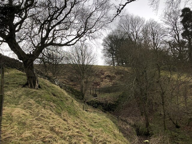
The moorland is characterized by its rolling hills, heather-clad slopes, and dramatic rocky outcrops, creating a truly breathtaking panorama. It is home to a rich variety of flora and fauna, with heather, bilberry, and cotton grass flourishing in abundance, while birds such as curlews, lapwings, and merlins grace the skies.
The rugged terrain of Hunderthwaite Moor offers a haven for outdoor enthusiasts, providing ample opportunities for walking, hiking, and exploring. Numerous footpaths and trails crisscross this wild and untamed landscape, leading adventurers to hidden gems and panoramic viewpoints.
The moorland also holds historical significance, with evidence of human habitation dating back thousands of years. Ancient cairns, stone circles, and burial mounds can be found scattered across the moor, alluding to a rich and mysterious past.
Hunderthwaite Moor is a tranquil escape from the hustle and bustle of modern life, offering visitors a chance to connect with nature and immerse themselves in the raw beauty of the Yorkshire countryside. With its sweeping vistas, diverse wildlife, and rich history, Hunderthwaite Moor is a true gem of the region, attracting nature enthusiasts, history buffs, and those seeking solace in the great outdoors.
If you have any feedback on the listing, please let us know in the comments section below.
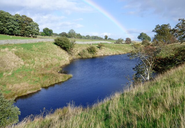
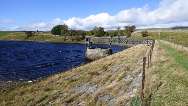
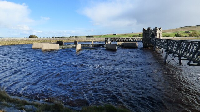
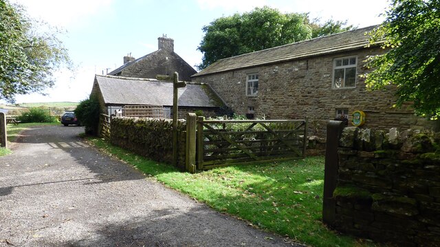
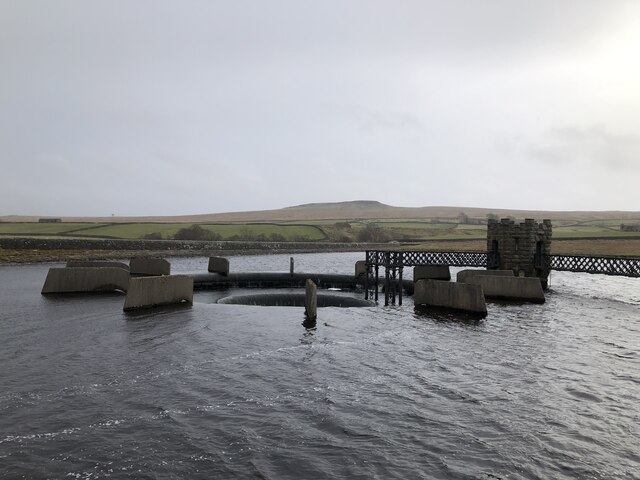
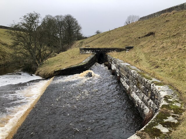
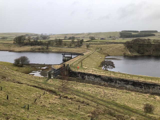
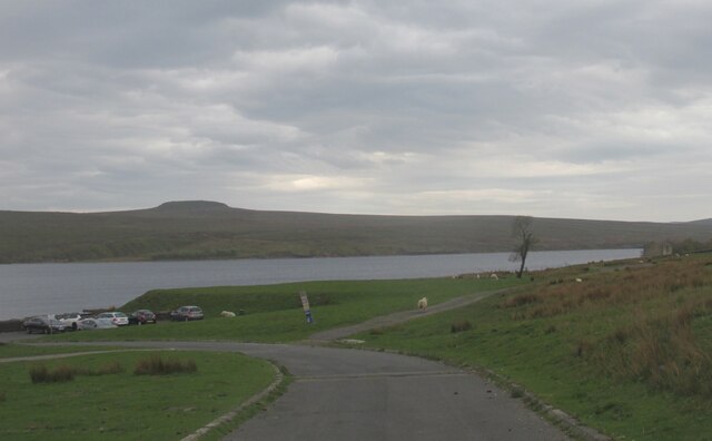
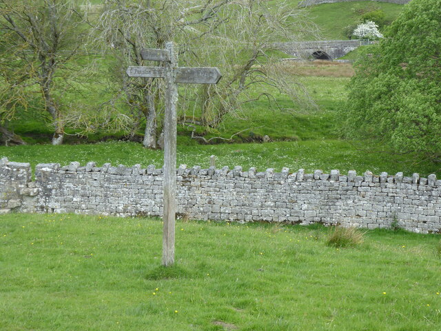
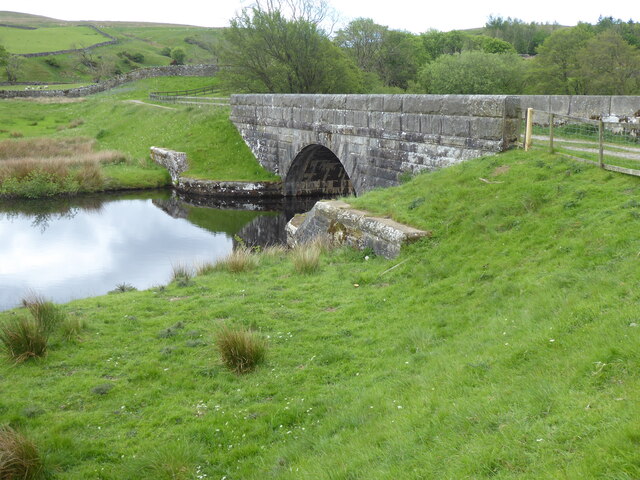
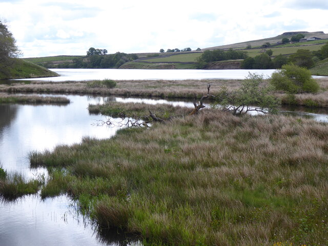
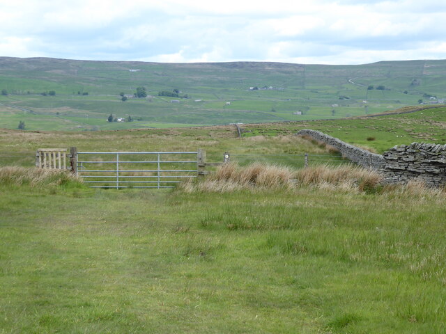
Hunderthwaite Moor Images
Images are sourced within 2km of 54.57348/-2.0919744 or Grid Reference NY9419. Thanks to Geograph Open Source API. All images are credited.


Hunderthwaite Moor is located at Grid Ref: NY9419 (Lat: 54.57348, Lng: -2.0919744)
Division: North Riding
Unitary Authority: County Durham
Police Authority: Durham
What 3 Words
///talkers.foot.tailed. Near Mickleton, Co. Durham
Nearby Locations
Related Wikis

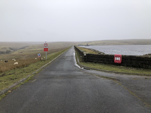
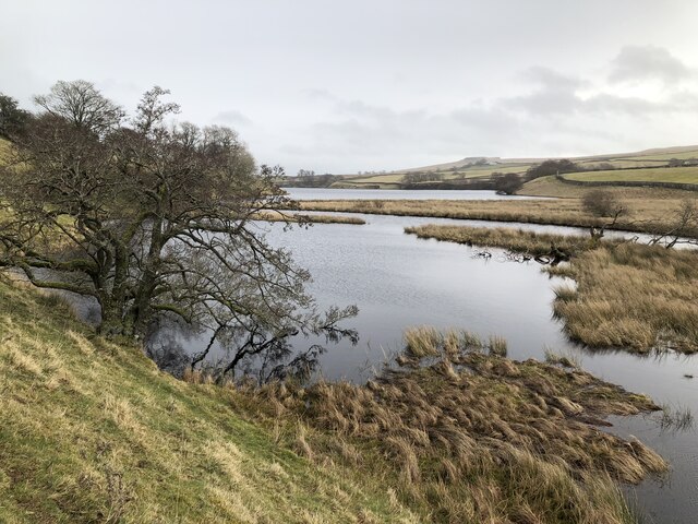
Baldersdale
Baldersdale is a dale, or valley, on the east side of the Pennines in England, northwest of Barnard Castle. Its principal settlements are Hury and Briscoe...

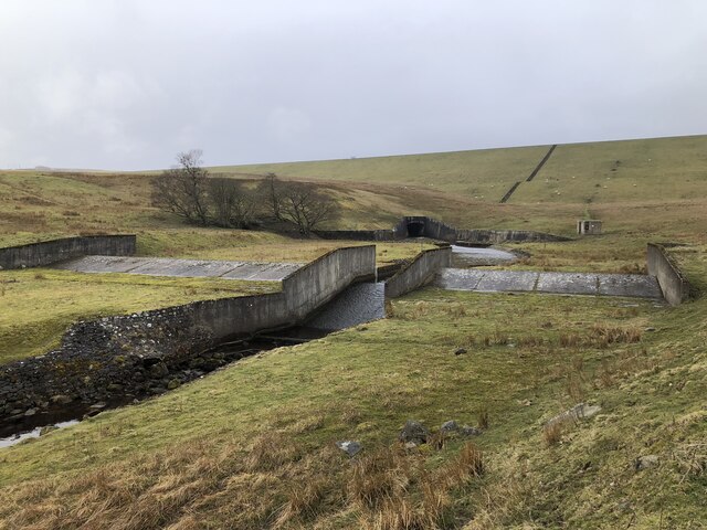
Blackton Reservoir
Blackton Reservoir is a reservoir in County Durham, England. It is situated in Baldersdale, about 4 miles (7 km) west of Cotherstone, where the River Balder...

Hannah's Meadows
Hannah's Meadows is a Site of Special Scientific Interest in the Teesdale district of south-west County Durham, England. It consists of three fields,...

Mere Beck Meadows
Mere Beck Meadows, formerly known as Willoughby Hall Meadows, is a Site of Special Scientific Interest in the Teesdale district of County Durham, England...
Nearby Amenities
Located within 500m of 54.57348,-2.0919744Have you been to Hunderthwaite Moor?
Leave your review of Hunderthwaite Moor below (or comments, questions and feedback).