Bull Hill
Hill, Mountain in Yorkshire
England
Bull Hill
Bull Hill, also known as Whernside, is a prominent hill located in the Yorkshire Dales National Park in North Yorkshire, England. It is part of the Pennine Range and stands at an impressive height of 736 meters (2,415 feet), making it the highest point in the county.
This majestic hill is a popular destination for outdoor enthusiasts, hikers, and nature lovers seeking breathtaking views and a challenging climb. Its distinctive pyramid-shaped summit offers panoramic vistas of the surrounding countryside, including the nearby Ribblehead Viaduct, one of the iconic landmarks of the area.
The ascent to Bull Hill can be accessed from various starting points, with the most common route starting from the village of Chapel-le-Dale. The trail takes visitors through picturesque landscapes, including rolling hills, moorlands, and a rich variety of flora and fauna. Along the way, hikers can enjoy the tranquil beauty of the region, with its cascading waterfalls, meandering streams, and ancient stone walls.
Due to its height and exposed location, Bull Hill experiences harsh weather conditions, including strong winds and low temperatures, especially during winter months. Proper clothing and equipment are essential for those attempting to summit the hill.
Bull Hill holds historical significance as well, as it was once an important site for mining and quarrying activities. Evidence of these industries can still be seen in the form of abandoned mineshafts and quarries scattered across the landscape.
Overall, Bull Hill in Yorkshire is not only a place of natural beauty but also a challenging adventure for those seeking an exhilarating outdoor experience.
If you have any feedback on the listing, please let us know in the comments section below.
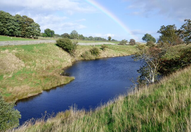
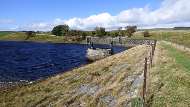
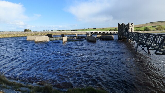
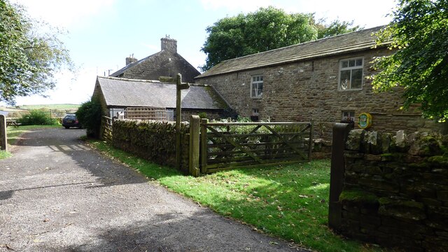
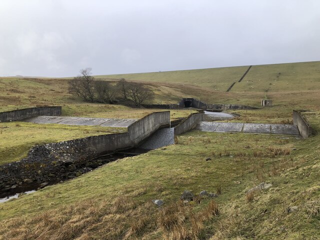
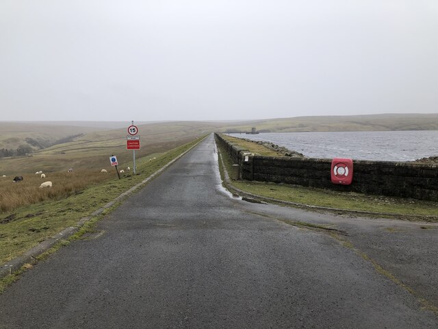
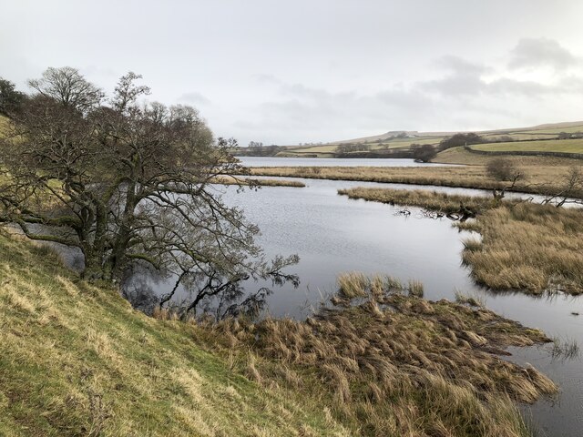
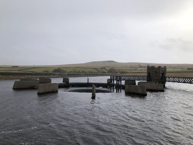
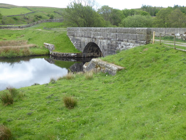
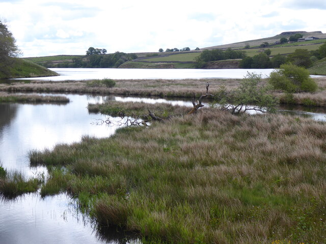
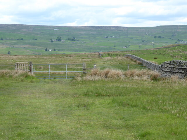
Bull Hill Images
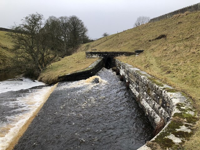
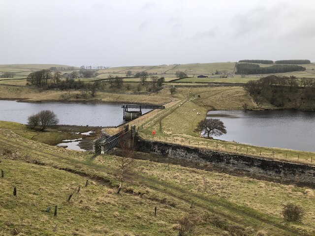
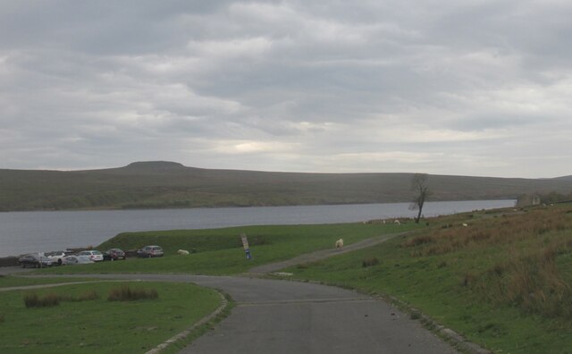
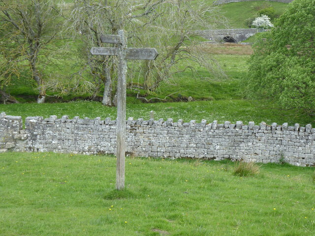
Images are sourced within 2km of 54.573722/-2.0920832 or Grid Reference NY9419. Thanks to Geograph Open Source API. All images are credited.


Bull Hill is located at Grid Ref: NY9419 (Lat: 54.573722, Lng: -2.0920832)
Division: North Riding
Unitary Authority: County Durham
Police Authority: Durham
What 3 Words
///email.visions.hence. Near Mickleton, Co. Durham
Nearby Locations
Related Wikis

Baldersdale
Baldersdale is a dale, or valley, on the east side of the Pennines in England, northwest of Barnard Castle. Its principal settlements are Hury and Briscoe...

Blackton Reservoir
Blackton Reservoir is a reservoir in County Durham, England. It is situated in Baldersdale, about 4 miles (7 km) west of Cotherstone, where the River Balder...

Hannah's Meadows
Hannah's Meadows is a Site of Special Scientific Interest in the Teesdale district of south-west County Durham, England. It consists of three fields,...

Mere Beck Meadows
Mere Beck Meadows, formerly known as Willoughby Hall Meadows, is a Site of Special Scientific Interest in the Teesdale district of County Durham, England...
Nearby Amenities
Located within 500m of 54.573722,-2.0920832Have you been to Bull Hill?
Leave your review of Bull Hill below (or comments, questions and feedback).