Poor Lains Coppice

Wood, Forest in Wiltshire

England

Poor Lains Coppice

Footpath to Sutton Lane Meadows
Footpath to Sutton Lane Meadows Credit: Alan Hughes

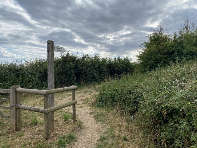
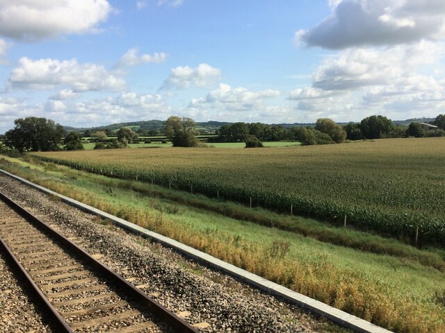
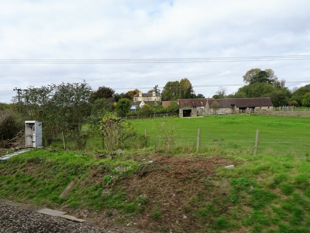
Poor Lains Coppice is a densely wooded area located in the county of Wiltshire, England. It covers an approximate area of 50 acres and is situated in close proximity to the village of Lains. The coppice is known for its lush and diverse vegetation, comprising a mixture of deciduous and evergreen trees, including oak, beech, ash, and silver birch.

The woodland is characterized by its dense canopy, which creates a shaded and tranquil atmosphere throughout the year. The forest floor is covered in a thick layer of leaf litter, providing a habitat for various woodland creatures such as squirrels, rabbits, and deer. Bird enthusiasts are also drawn to Poor Lains Coppice, as it serves as a refuge for a variety of bird species, including woodpeckers, thrushes, and owls.

The coppice has a long history of traditional woodland management, with evidence of coppicing and pollarding dating back several centuries. These practices have helped to maintain the health and vitality of the woodland, as well as provide a sustainable source of timber and firewood.

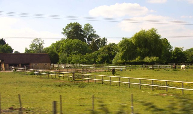
Visitors to Poor Lains Coppice can enjoy a range of recreational activities such as walking, birdwatching, and photography. The woodland is crisscrossed by a network of footpaths, allowing visitors to explore its natural beauty at their own pace. Furthermore, the coppice is easily accessible from nearby villages and towns, making it a popular destination for both locals and tourists alike.

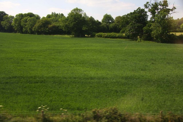
Overall, Poor Lains Coppice offers a peaceful and picturesque retreat for nature lovers, providing a haven for wildlife and a place to escape the hustle and bustle of modern life.

If you have any feedback on the listing, please let us know in the comments section below.

Poor Lains Coppice Images

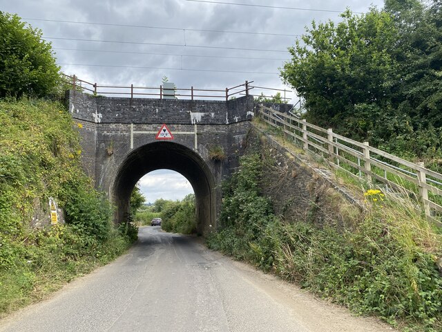
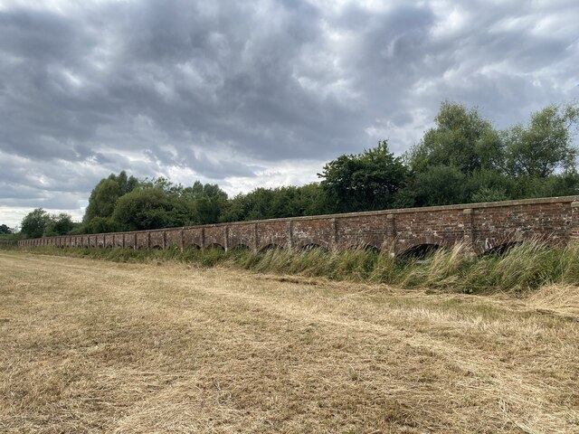
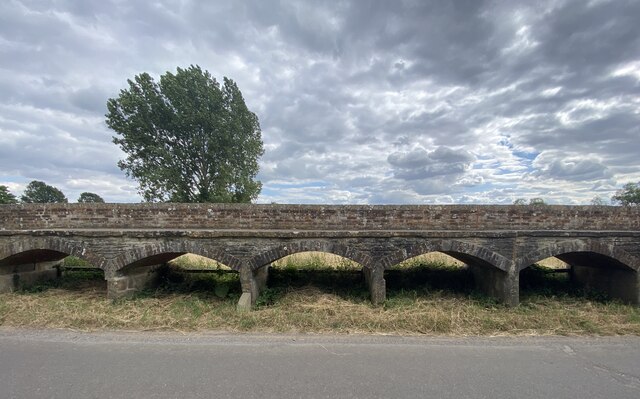
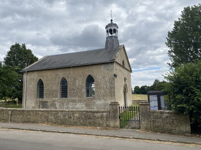
Images are sourced within 2km of 51.485224/-2.0859859 or Grid Reference ST9476. Thanks to Geograph Open Source API. All images are credited.

Footpath to Sutton Lane Meadows
Sutton Lane Farm
Sutton Lane Farm
Around the bend On the road to Chippenham.
Around the bend
On the road to Chippenham.
Farm buildings Sutton Lane Farm.
Farm buildings
Sutton Lane Farm.
Railway bridge near Kellaways
Maud Heath's Causeway Bridged path built in 1812.

<span class="nowrap"><a title="https://en.wikipedia.org/wiki/Maud_Heath%27s_Causeway" rel="nofollow ugc noopener" href="https://en.wikipedia.org/wiki/Maud_Heath%27s_Causeway">Link</a><img style="margin-left:2px;" alt="External link" title="External link - shift click to open in new window" src="https://s1.geograph.org.uk/img/external.png" width="10" height="10"/></span>
Maud Heath's Causeway
Bridged path built in 1812. LinkExternal link
Maud Heath's Causeway Just 5 of the 64 arches comprising Maud Heath's Causeway.  See also <a href="https://www.geograph.org.uk/photo/7229063">ST9475 : Maud Heath's Causeway</a>.
Maud Heath's Causeway
Just 5 of the 64 arches comprising Maud Heath's Causeway. See also ST9475 : Maud Heath's Causeway.
The Church of St Giles at Kellaways Small church in Langley Burrell Without Parish.
The Church of St Giles at Kellaways
Small church in Langley Burrell Without Parish.
Road junction and signpost The ‘T’ of this junction is Maud Heath’s Causeway. See <a href="https://www.geograph.org.uk/photo/7229063">ST9475 : Maud Heath's Causeway</a>.
Road junction and signpost
The ‘T’ of this junction is Maud Heath’s Causeway. See ST9475 : Maud Heath's Causeway.
From a Swindon-Bristol train, fields of crops near the River Avon
From a Swindon-Bristol train, harvested fields around Grove Farm
From a Swindon-Bristol train, fields of crops near Kellaways
From a Swindon-Bristol train, fields near Langley Burrell
From a Swindon-Bristol train, railway electrification in progress near Peckingell
Pony paddocks at Langley Burrell
Looking over a field near Langley Burrell
Looking over a field towards Three Corner Plantation
Field by Grove Farm
Field by Grove Farm
Show me another place!

Poor Lains Coppice is located at Grid Ref: ST9476 (Lat: 51.485224, Lng: -2.0859859)

Unitary Authority: Wiltshire

Police Authority: Wiltshire

What 3 Words

///judges.scorecard.fixed. Near Sutton Benger, Wiltshire

Related Wikis

Maud Heath's Causeway

Maud Heath's Causeway is a pathway dating from the 15th century in rural Wiltshire, England. On both sides of its crossing of the River Avon, just west...

Kellaways

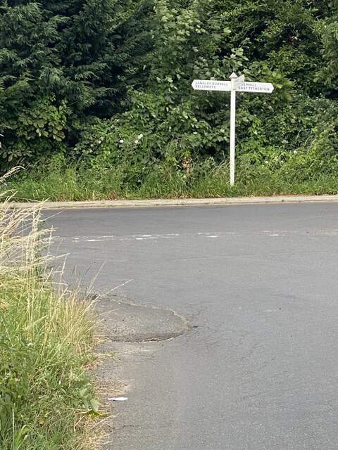
Kellaways, also known as Tytherton Kellaways, is a village and former ecclesiastical parish in the present-day civil parish of Langley Burrell Without...

Kellaways – West Tytherton, River Avon SSSI, Wiltshire

Kellaways - West Tytherton, River Avon SSSI (grid reference ST945750) is a 4.1 hectare geological Site of Special Scientific Interest in Wiltshire, notified...

Langley Burrell

Langley Burrell is a village in the civil parish of Langley Burrell Without, just north of Chippenham, Wiltshire, England. It is the largest settlement...

Nearby Amenities

Located within 500m of 51.485224,-2.0859859
Power: pole
Lat/Long: 51.4891629/-2.0866352
Power: pole
Lat/Long: 51.4882728/-2.0872816
Power: pole
Lat/Long: 51.4873425/-2.0879549
Power: pole
Lat/Long: 51.4862802/-2.0887327
Power: pole
Lat/Long: 51.4854635/-2.0887166
Power: pole
Lat/Long: 51.4845666/-2.0886549
Power: pole
Lat/Long: 51.4866828/-2.0795488
Power: pole
Lat/Long: 51.4859128/-2.0808363
Power: pole
Lat/Long: 51.4850125/-2.082392
Power: pole
Lat/Long: 51.4842776/-2.0836043
Power: pole
Lat/Long: 51.4835711/-2.0848274
Power: pole
Lat/Long: 51.4828896/-2.0859647
Power: pole
Lat/Long: 51.4834809/-2.0886362
Power: pole
Lat/Long: 51.4827225/-2.0885396
Power: pole
Lat/Long: 51.4817671/-2.0885342
Power: pole
Lat/Long: 51.4822348/-2.0870671
Power: pole
Lat/Long: 51.4815717/-2.0882204
The data included in this document is from www.openstreetmap.org. The data is made available under ODbL.

Have you been to Poor Lains Coppice?

Leave your review of Poor Lains Coppice below (or comments, questions and feedback).