Crabtree Coppice

Wood, Forest in Worcestershire Bromsgrove

England

Crabtree Coppice

Ploughed and harrowed field
Ploughed and harrowed field Credit: Martin Wilson

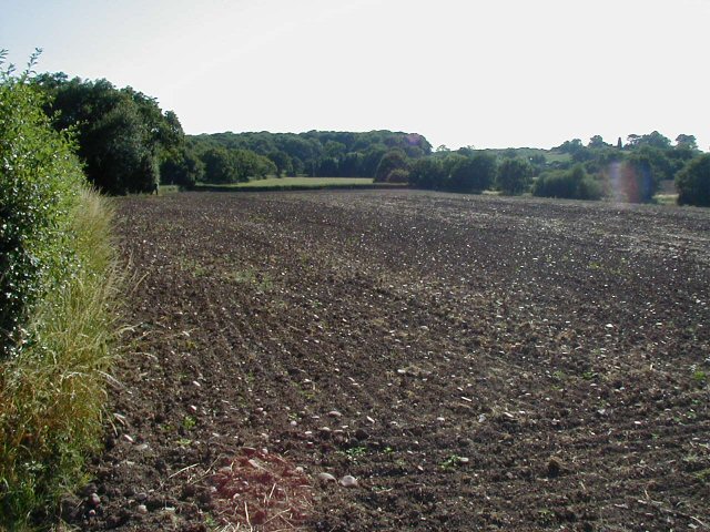
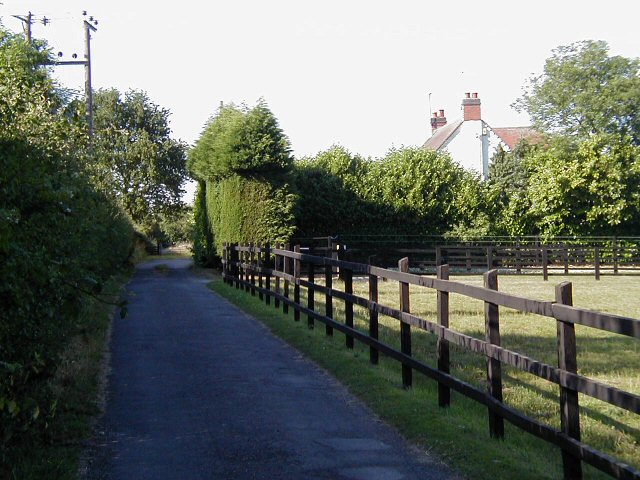
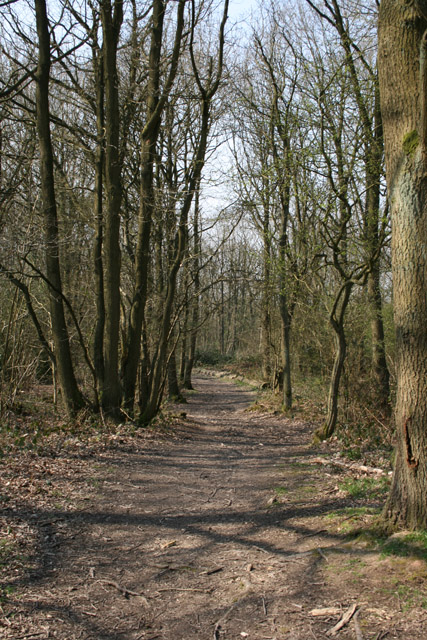
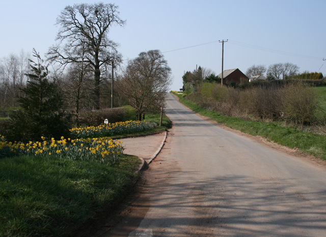
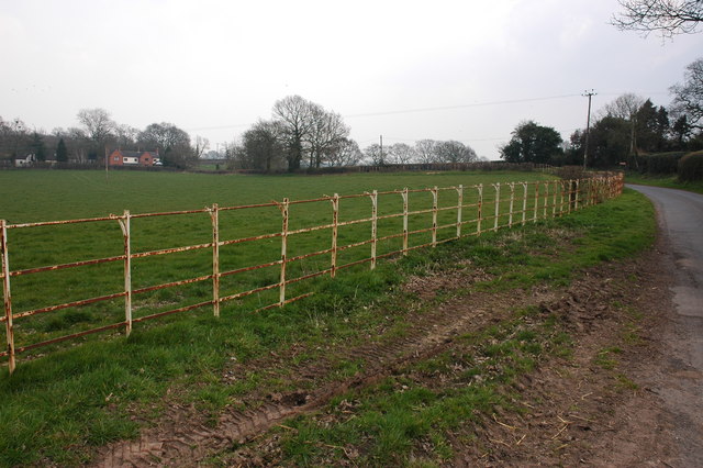
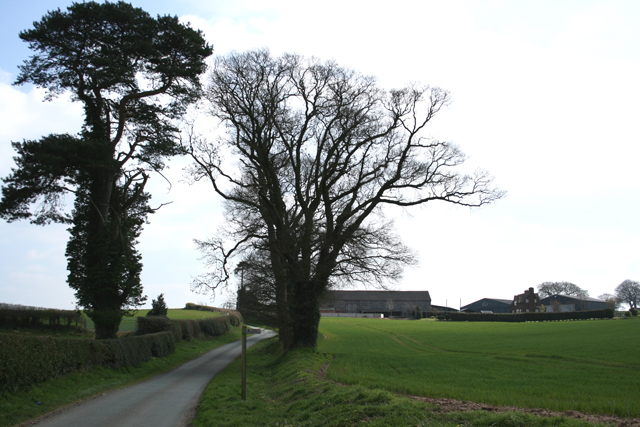
Crabtree Coppice is a picturesque woodland area located in Worcestershire, England. Spread over an area of approximately 50 acres, it is known for its diverse flora and fauna, making it a popular destination for nature enthusiasts and hikers.

The coppice is primarily composed of deciduous trees such as oak, beech, and birch, which create a dense canopy that provides shade during the summer months. The forest floor is covered in a vibrant carpet of bluebells, wild garlic, and ferns, adding to the beauty of the surroundings.

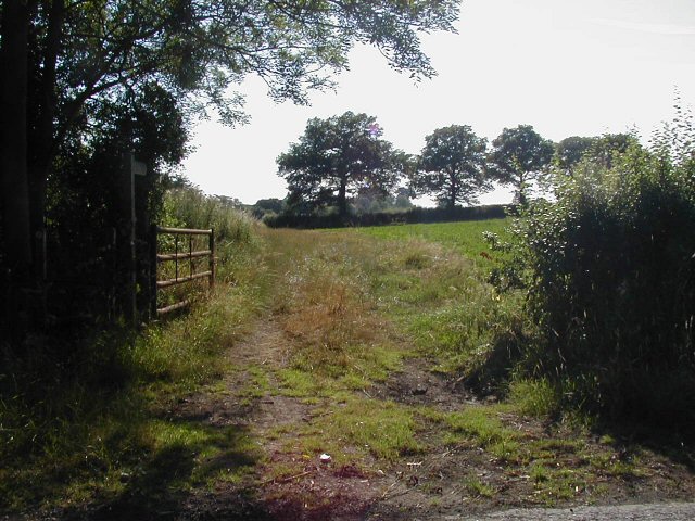
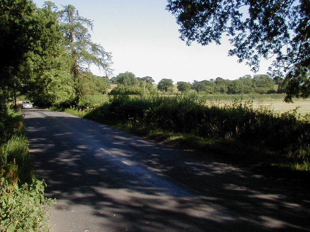
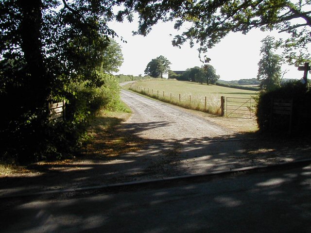
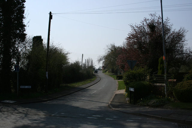
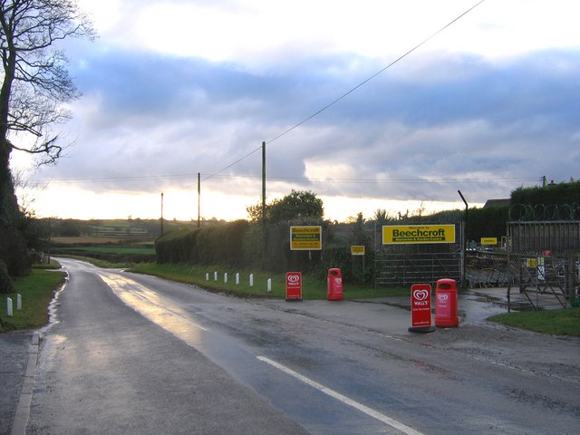
Several walking trails wind through the coppice, offering visitors the opportunity to explore its natural wonders. The trails are well-maintained and suitable for all ages and fitness levels. Along the way, visitors may encounter various wildlife species including deer, squirrels, and a wide range of bird species, providing ample opportunities for birdwatching and wildlife photography.

Crabtree Coppice is also home to a diverse range of insect species, including butterflies and dragonflies, which can be spotted fluttering amongst the trees and flowers. The tranquil atmosphere of the coppice makes it an ideal spot for relaxation and meditation, allowing visitors to escape the hustle and bustle of everyday life.

The woodland is managed by local authorities, who ensure the preservation and conservation of its natural beauty. They also organize educational programs and guided tours to promote environmental awareness and encourage visitors to appreciate and respect the delicate ecosystem of Crabtree Coppice.

Overall, Crabtree Coppice is a serene and enchanting woodland that offers visitors a chance to immerse themselves in nature and experience the tranquility of the Worcestershire countryside.

If you have any feedback on the listing, please let us know in the comments section below.

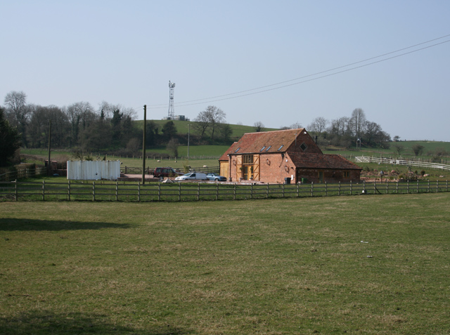
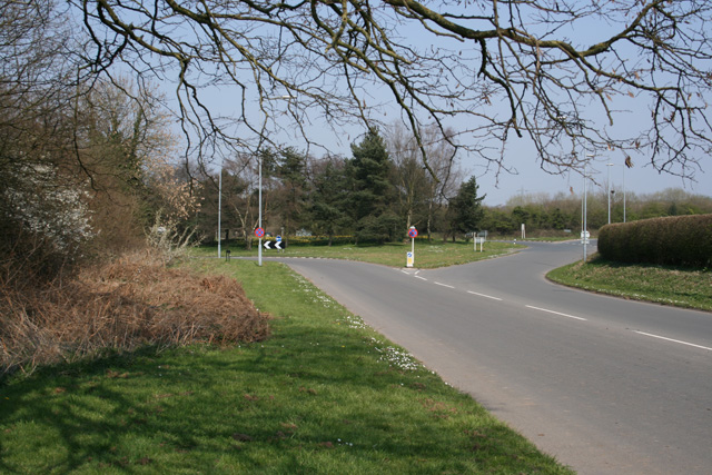
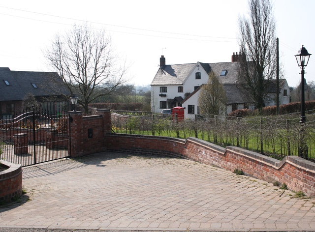
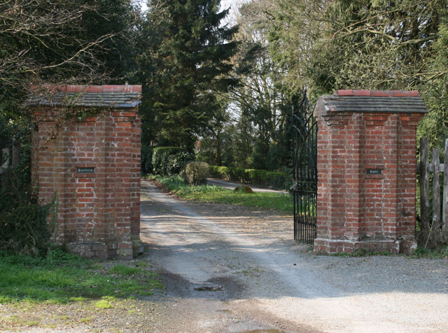
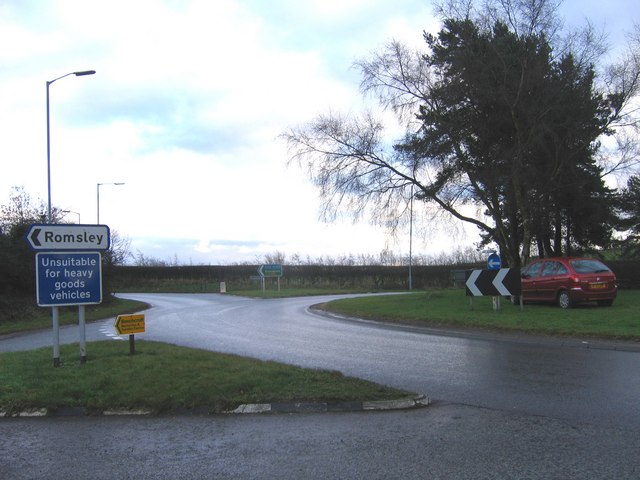
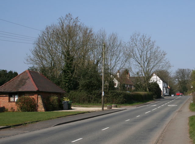
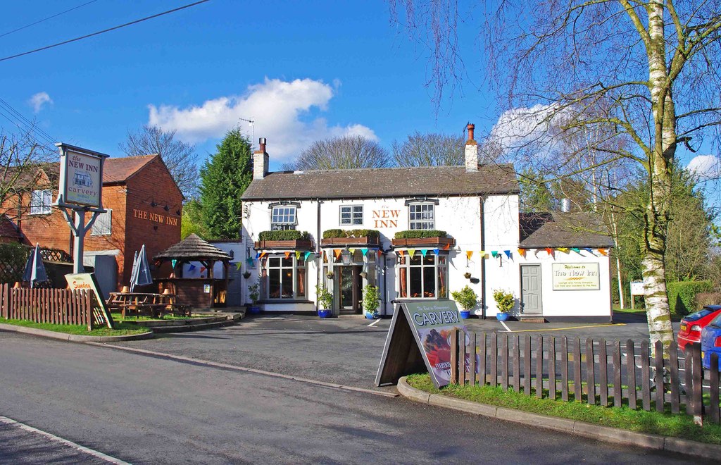
Crabtree Coppice Images

Images are sourced within 2km of 52.376688/-2.0876974 or Grid Reference SO9475. Thanks to Geograph Open Source API. All images are credited.

Ploughed and harrowed field
Footpath
Footpath
Dordale Road
Dordale Road
Monarch's Way The drive is  part of Monarch's Way <span class="nowrap"><a title="http://en.wikipedia.org/wiki/Monarch%27s_Way" rel="nofollow ugc noopener" href="http://en.wikipedia.org/wiki/Monarch%27s_Way">Link</a><img style="margin-left:2px;" alt="External link" title="External link - shift click to open in new window" src="https://s1.geograph.org.uk/img/external.png" width="10" height="10"/></span> a well known foot and bridle path, but the farmhouse is now a private dwelling and not a working farm.
Monarch's Way
The drive is part of Monarch's Way LinkExternal link a well known foot and bridle path, but the farmhouse is now a private dwelling and not a working farm.
Driveway also used as part of a public footpath route. View towards Snuff Hill.
Driveway
also used as part of a public footpath route. View towards Snuff Hill.
Swan Inn at Fairfield Road is the B4091 through Fairfield
Swan Inn at Fairfield
Road is the B4091 through Fairfield
Wood Lane Fairfield Leads via a track to Pepper Wood from the B4091
Wood Lane Fairfield
Leads via a track to Pepper Wood from the B4091
North Pepper Wood Just past the last house on the track to the east of Fairfield village
North Pepper Wood
Just past the last house on the track to the east of Fairfield village
Ivy Cottage, Fairfield In Swan Lane, about 1km from the Swan public house in Fairfield
Ivy Cottage, Fairfield
In Swan Lane, about 1km from the Swan public house in Fairfield
The Old Victorian Farm House Complete with telephone communications mast on the hill in the village of Fairfield.
The Old Victorian Farm House
Complete with telephone communications mast on the hill in the village of Fairfield.
Roundabout near Fairfield Court Junction of the A491 and the B4091 looking east of north
Roundabout near Fairfield Court
Junction of the A491 and the B4091 looking east of north
The Stables Near Madeley Heath, part of Lower Madely Farm. Sports a red K6 telephone box!
The Stables
Near Madeley Heath, part of Lower Madely Farm. Sports a red K6 telephone box!
Gates to Fairfield Court Situated on the B4091 close to the junction with the A491
Gates to Fairfield Court
Situated on the B4091 close to the junction with the A491
Harbours Hill Fine show of spring flowers. Madeley Heath is just over the hill.
Harbours Hill
Fine show of spring flowers. Madeley Heath is just over the hill.
Hockley Brook Lane, Broom Hill
Hagley Hill Farm On Mearse Lane, near Hartle. Public Footpath across field in foreground.
Hagley Hill Farm
On Mearse Lane, near Hartle. Public Footpath across field in foreground.
Beechcroft Garden Centre, Madeley Lane This garden centre is on Madeley Lane. The cross-roads just ahead are with Chapel Lane, on the right and Bonfire Hill on the left.
Beechcroft Garden Centre, Madeley Lane
This garden centre is on Madeley Lane. The cross-roads just ahead are with Chapel Lane, on the right and Bonfire Hill on the left.
Roundabout on A491 from Madeley Lane The Madeley Lane approach to the A491 Sandy Lane, Stourbridge Road roundabout. Ahead lies the B4091 heading towards Fairfield and Bromsgrove. This is a reverse view of the island to image <a href="https://www.geograph.org.uk/photo/385732">SO9476 : Roundabout near Fairfield Court</a>
Roundabout on A491 from Madeley Lane
The Madeley Lane approach to the A491 Sandy Lane, Stourbridge Road roundabout. Ahead lies the B4091 heading towards Fairfield and Bromsgrove. This is a reverse view of the island to image SO9476 : Roundabout near Fairfield Court
Show me another place!

Crabtree Coppice is located at Grid Ref: SO9475 (Lat: 52.376688, Lng: -2.0876974)

Administrative County: Worcestershire

District: Bromsgrove

Police Authority: West Mercia

What 3 Words

///policy.slot.loyal. Near Belbroughton, Worcestershire

Nearby Locations

Crabtree Coppice Fairfield

Related Wikis

Fairfield, Worcestershire

Fairfield is a village in the district of Bromsgrove, Worcestershire, England. It is in the civil parish of Belbroughton. The village of Fairfield and...

Bournheath

Bournheath is a village and civil parish in the Bromsgrove District of Worcestershire, England, about three miles north of Bromsgrove. According to the...

Castlebourne folly

The Castlebourne folly in the parish of Belbroughton, Worcestershire, England, was built as a sham castle towards the end of the eighteenth century and...

Bell End

Bell End is a village in the English county of Worcestershire. It is situated approximately 2 miles (3 km) south-east of Hagley on the A491, north of Bromsgrove...

Catshill

Catshill is a village in Worcestershire about 2.5 miles north of Bromsgrove and 10 miles south-west of Birmingham. The parish of Catshill was formed around...

Rosedene

Rosedene is a cottage built as part of the Great Dodford Chartist settlement. It is the best preserved example of a Chartist cottage built by the National...

Belbroughton

Belbroughton ( bel-BRAW-tən) is a village and civil parish in the Bromsgrove District of Worcestershire, England. According to the 2021 census it had...

Dodford Priory

Dodford Priory in the parish of Bromsgrove in Worcestershire in the current village of Dodford, was a small Augustinian monastery. == History == It was...

Nearby Amenities

Located within 500m of 52.376688,-2.0876974
Bus Stop
Pepperwood Close
Bus: yes
Naptan AtcoCode: 2000G095300
Naptan Bearing: NW
Naptan CommonName: Fairfield- Pepperwood Close
Naptan Indicator: Adj
Naptan Landmark: Wood Lane
Naptan NaptanCode: wocdpmtg
Naptan Street: Pepperwood Close
Naptan Verified: no
Public Transport: platform
Source: naptan_import
Lat/Long: 52.3750687/-2.0826502
Power: tower
Source: Bing
Lat/Long: 52.3795504/-2.0933784
Power: tower
Source: Bing
Lat/Long: 52.380628/-2.0906974
Barrier: stile
Lat/Long: 52.3729539/-2.0876167
Bench
Source: survey
Lat/Long: 52.3730107/-2.0879367
Bench
Source: survey
Lat/Long: 52.3755987/-2.081532
Grit Bin
Source: survey
Lat/Long: 52.3757561/-2.0814316
The data included in this document is from www.openstreetmap.org. The data is made available under ODbL.

Have you been to Crabtree Coppice?

Leave your review of Crabtree Coppice below (or comments, questions and feedback).