Fairfield

Settlement in Worcestershire Bromsgrove

England

Fairfield

Catshill Methodist Church Modern building erected in 1968.
Catshill Methodist Church Credit: Chris McMillan

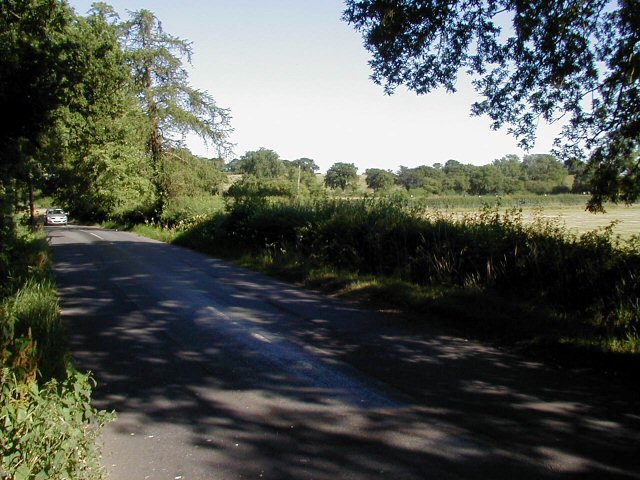
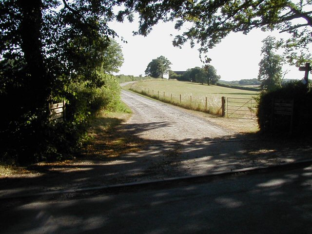
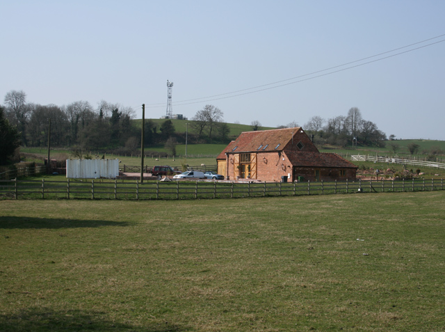
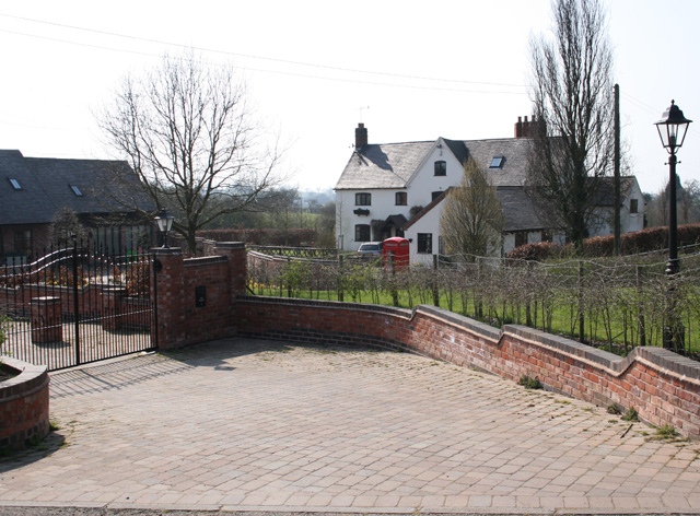
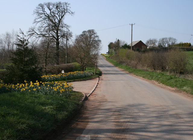
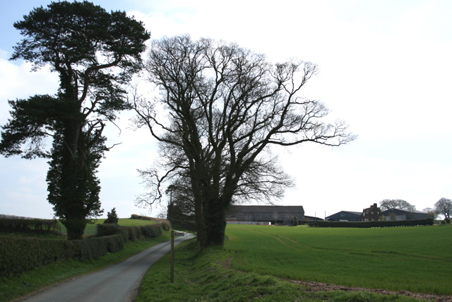
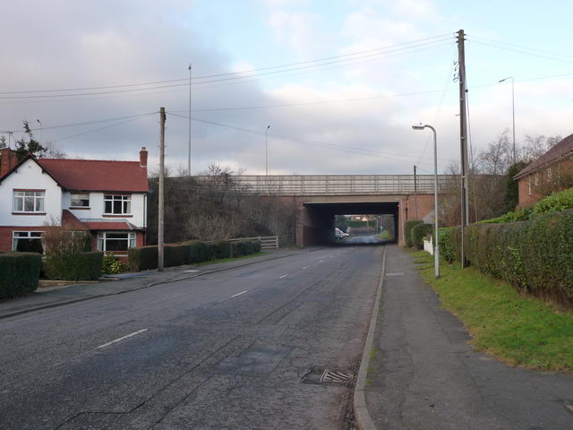
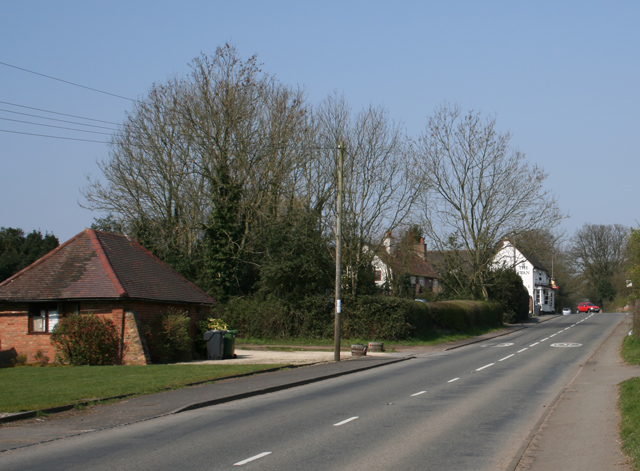
Fairfield is a small village located in the county of Worcestershire, England. It is situated approximately 4 miles south of Bromsgrove and 10 miles northeast of Worcester. The village is set amidst picturesque countryside, surrounded by rolling hills and farmland.

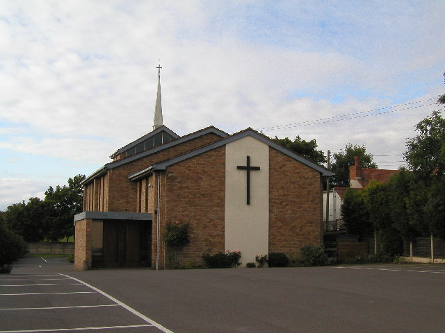
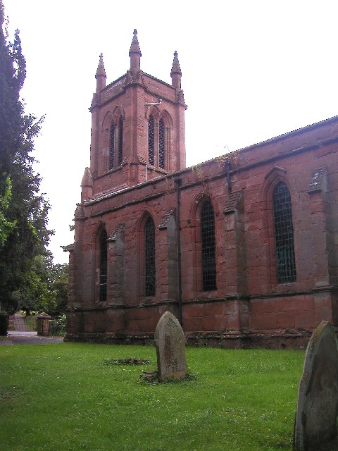
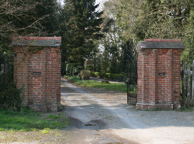
The history of Fairfield dates back to ancient times, with evidence of human settlement in the area dating as far back as the Bronze Age. The village itself has a rich history, with many of its buildings and landmarks dating back several centuries. These include St. Mark's Church, a Grade II listed building that dates back to the 13th century, and Fairfield Hall, a historic manor house that now serves as a community center.

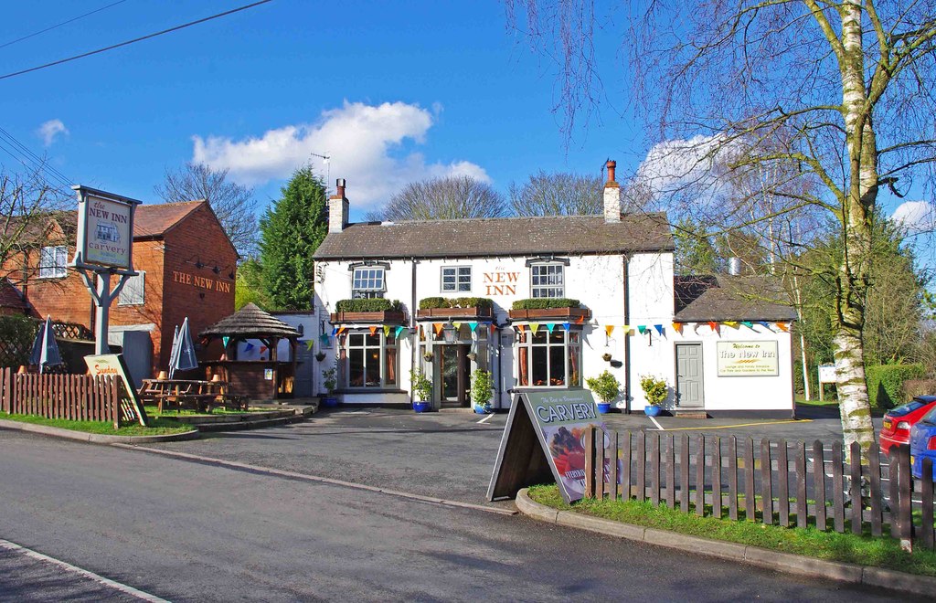
Despite its small size, Fairfield offers a range of amenities to its residents and visitors. These include a primary school, a village hall, and a local pub. The village also benefits from its proximity to larger towns, with easy access to a wider range of services and facilities.

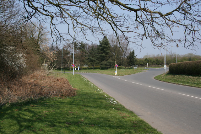
The surrounding countryside provides ample opportunities for outdoor activities such as walking, hiking, and cycling. The nearby Lickey Hills Country Park, a designated Area of Outstanding Natural Beauty, offers stunning views and a variety of trails to explore.

Overall, Fairfield is a charming village with a strong sense of community and a rich history. Its idyllic setting and range of amenities make it an attractive place to live or visit for those seeking a peaceful rural retreat.

If you have any feedback on the listing, please let us know in the comments section below.
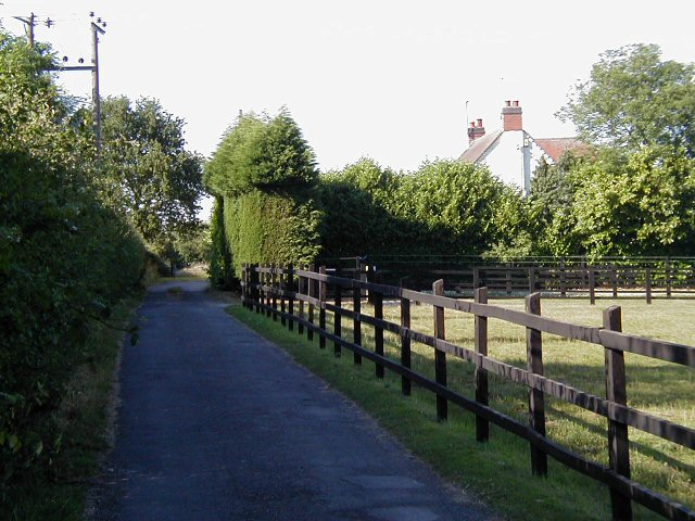
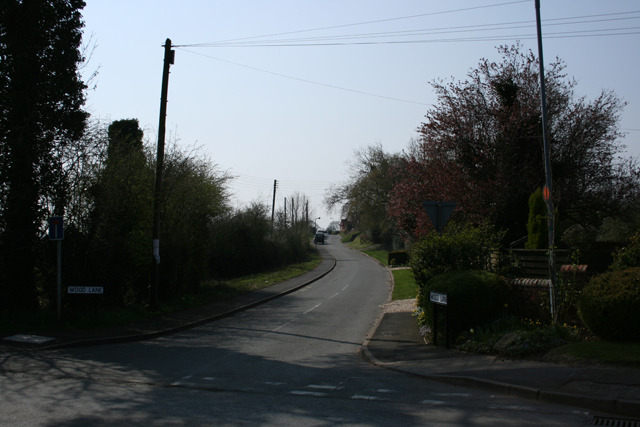
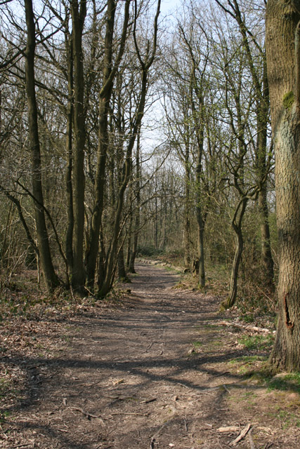
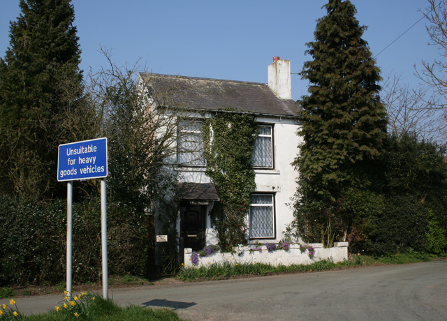
Fairfield Images

Images are sourced within 2km of 52.375953/-2.077824 or Grid Reference SO9475. Thanks to Geograph Open Source API. All images are credited.

Catshill Methodist Church Modern building erected in 1968.
Catshill Methodist Church
Modern building erected in 1968.
'Christ Church', Catshill, Worcs The Parish church of Catshill, Worcs.  The graveyard is hidden among many old trees.  Here lie the remains of Thomas Housman, father of A.E. Housman, author of the poem, 'A Shropshire Lad'.
'Christ Church', Catshill, Worcs
The Parish church of Catshill, Worcs. The graveyard is hidden among many old trees. Here lie the remains of Thomas Housman, father of A.E. Housman, author of the poem, 'A Shropshire Lad'.
Dordale Road
Dordale Road
Monarch's Way The drive is  part of Monarch's Way <span class="nowrap"><a title="http://en.wikipedia.org/wiki/Monarch%27s_Way" rel="nofollow ugc noopener" href="http://en.wikipedia.org/wiki/Monarch%27s_Way">Link</a><img style="margin-left:2px;" alt="External link" title="External link - shift click to open in new window" src="https://s1.geograph.org.uk/img/external.png" width="10" height="10"/></span> a well known foot and bridle path, but the farmhouse is now a private dwelling and not a working farm.
Monarch's Way
The drive is part of Monarch's Way LinkExternal link a well known foot and bridle path, but the farmhouse is now a private dwelling and not a working farm.
Driveway also used as part of a public footpath route. View towards Snuff Hill.
Driveway
also used as part of a public footpath route. View towards Snuff Hill.
Swan Inn at Fairfield Road is the B4091 through Fairfield
Swan Inn at Fairfield
Road is the B4091 through Fairfield
Wood Lane Fairfield Leads via a track to Pepper Wood from the B4091
Wood Lane Fairfield
Leads via a track to Pepper Wood from the B4091
North Pepper Wood Just past the last house on the track to the east of Fairfield village
North Pepper Wood
Just past the last house on the track to the east of Fairfield village
Ivy Cottage, Fairfield In Swan Lane, about 1km from the Swan public house in Fairfield
Ivy Cottage, Fairfield
In Swan Lane, about 1km from the Swan public house in Fairfield
The Old Victorian Farm House Complete with telephone communications mast on the hill in the village of Fairfield.
The Old Victorian Farm House
Complete with telephone communications mast on the hill in the village of Fairfield.
Roundabout near Fairfield Court Junction of the A491 and the B4091 looking east of north
Roundabout near Fairfield Court
Junction of the A491 and the B4091 looking east of north
The Stables Near Madeley Heath, part of Lower Madely Farm. Sports a red K6 telephone box!
The Stables
Near Madeley Heath, part of Lower Madely Farm. Sports a red K6 telephone box!
Gates to Fairfield Court Situated on the B4091 close to the junction with the A491
Gates to Fairfield Court
Situated on the B4091 close to the junction with the A491
Harbours Hill Fine show of spring flowers. Madeley Heath is just over the hill.
Harbours Hill
Fine show of spring flowers. Madeley Heath is just over the hill.
Hagley Hill Farm On Mearse Lane, near Hartle. Public Footpath across field in foreground.
Hagley Hill Farm
On Mearse Lane, near Hartle. Public Footpath across field in foreground.
Wildmoor Oak pub. Within easy reach of M5 Junct.4, yet tucked away down a country lane and feeling "in the middle of nowhere".
Wildmoor Oak pub.
Within easy reach of M5 Junct.4, yet tucked away down a country lane and feeling "in the middle of nowhere".
Motorway bridge Bridge in Wildmoor Lane where the M5 skirts round Catshill, a district of Bromsgrove.
Motorway bridge
Bridge in Wildmoor Lane where the M5 skirts round Catshill, a district of Bromsgrove.
Catshill Village Hall, Bromsgrove Catshill Village Hall
Catshill Village Hall, Bromsgrove
Catshill Village Hall
Show me another place!

Fairfield is located at Grid Ref: SO9475 (Lat: 52.375953, Lng: -2.077824)

Administrative County: Worcestershire

District: Bromsgrove

Police Authority: West Mercia

What 3 Words

///verbs.blocks.bridge. Near Belbroughton, Worcestershire

Nearby Locations

Fairfield Crabtree Coppice

Related Wikis

Fairfield, Worcestershire

Fairfield is a village in the district of Bromsgrove, Worcestershire, England. It is in the civil parish of Belbroughton. The village of Fairfield and...

Bournheath

Bournheath is a village and civil parish in the Bromsgrove District of Worcestershire, England, about three miles north of Bromsgrove. According to the...

Castlebourne folly

The Castlebourne folly in the parish of Belbroughton, Worcestershire, England, was built as a sham castle towards the end of the eighteenth century and...

Catshill

Catshill is a village in Worcestershire about 2.5 miles north of Bromsgrove and 10 miles south-west of Birmingham. The parish of Catshill was formed around...

Bell End

Bell End is a village in the English county of Worcestershire. It is situated approximately 2 miles (3 km) south-east of Hagley on the A491, north of Bromsgrove...

Lydiate Ash

Lydiate Ash is a hamlet in North Worcestershire, England, consisting of a few houses, the road gritting and works depot for Worcestershire County Council...

Alfred's Well, Worcestershire

Alfred's Well is a hamlet in the civil parish of Dodford in the Bromsgrove District of Worcestershire, England. Its nearest town is Bromsgrove. == References... ==

Rosedene

Rosedene is a cottage built as part of the Great Dodford Chartist settlement. It is the best preserved example of a Chartist cottage built by the National...

Related Videos

Glass Walking

Obstacles don't have to stop you. If you run into a wall, don't turn around and give up. Figure out how to climb it, go through it, ...

A walk around Beaconwood and the Winsel, Bromsgrove during bluebell season.

A walk around Beaconwood and the Winsel, Bromsgrove during bluebell season. Filmed on Xiaomi Pocco X3 / DJI Osmo 3 music ...

Catshill and Pepper Wood circular 5th March 23

Starting at Catshill we walked up to and through Pepper Wood and a big 9-mile circular before returning to the Crown Inn Catshill ...

Nearby Amenities

Located within 500m of 52.375953,-2.077824
Mini Roundabout
Lat/Long: 52.3729929/-2.0771239
Bus Stop
Fairfield- Church
Bus: yes
Naptan AtcoCode: 2000G094800
Naptan Bearing: SE
Naptan CommonName: Fairfield- Church
Naptan Indicator: Adj
Naptan Landmark: Church
Naptan NaptanCode: wocdgpjt
Naptan Street: Stourbridge Road
Naptan Verified: no
Public Transport: platform
Source: naptan_import
Lat/Long: 52.374411/-2.0781513
Fairfield Church
Naptan AtcoCode: 2000G094801
Naptan Bearing: NW
Naptan BusStopType: CUS
Naptan CommonName: Fairfield Church
Naptan Indicator: opp
Naptan Landmark: Church
Naptan NaptanCode: wocdgpjw
Naptan Street: Stourbridge Road
Naptan Verified: no
Source: naptan_import
Lat/Long: 52.3745659/-2.0784229
Bus Stop
Fairfield- Pepperwood Close
Bus: yes
Naptan AtcoCode: 2000G095300
Naptan Bearing: NW
Naptan CommonName: Fairfield- Pepperwood Close
Naptan Indicator: Adj
Naptan Landmark: Wood Lane
Naptan NaptanCode: wocdpmtg
Naptan Street: Pepperwood Close
Naptan Verified: no
Public Transport: platform
Source: naptan_import
Lat/Long: 52.3751217/-2.082559
Bus Stop
Bournheath Road
Bus: yes
Naptan AtcoCode: 2000G095401
Naptan Bearing: SW
Naptan CommonName: Bournheath Road
Naptan Crossing: Bournheath Road
Naptan Indicator: Adj
Naptan NaptanCode: wocdpmtw
Naptan Street: Brook Road
Naptan Verified: no
Public Transport: platform
Source: naptan_import
Lat/Long: 52.3723423/-2.0781144
Bus Stop
Swan Inn
Bus: yes
Naptan AtcoCode: 2000G154100
Naptan Bearing: N
Naptan CommonName: Swan Inn
Naptan Crossing: Swan Lane
Naptan Indicator: Adj
Naptan NaptanCode: wocgadjw
Naptan Street: Stourbridge Road
Naptan Verified: no
Public Transport: platform
Source: naptan_import
Lat/Long: 52.3775287/-2.0796367
Swan Inn
Naptan AtcoCode: 2000G154101
Naptan Bearing: S
Naptan BusStopType: CUS
Naptan CommonName: Swan Inn
Naptan Crossing: Swan Lane
Naptan Indicator: Opp
Naptan NaptanCode: wocgadma
Naptan Street: Stourbridge Road
Naptan Verified: no
Source: naptan_import
Lat/Long: 52.377367/-2.0794161
Post Office
Fairfield Post Office
Addr City: Bromsgrove
Addr Housenumber: 81
Addr Postcode: B61 9LY
Addr Street: Stourbridge Road
Addr Village: Fairfield
Opening Hours: Mo,Tu 08:30-17:30; We-Fr 09:00-17:30; Sa 09:00-13:00
Ref Pol Id: 11224
Lat/Long: 52.3745499/-2.0785773
Fairfield
Is In: Worcestershire, UK
Place: village
Wikidata: Q5430230
Lat/Long: 52.3750565/-2.0783466
Bench
Source: survey
Lat/Long: 52.3755987/-2.081532
Grit Bin
Source: survey
Lat/Long: 52.3757561/-2.0814316
Barrier: stile
Source: survey
Lat/Long: 52.375935/-2.0762365
Bus Stop
Bus: yes
Public Transport: platform
Shelter: yes
Source: survey
Lat/Long: 52.3762659/-2.0793745
Man Made: tower
Source: bing
Tower Type: communication
Lat/Long: 52.3775135/-2.0759076
Cafe
Lat/Long: 52.3745525/-2.0786083
Post Box
Brand: Royal Mail
Brand Wikidata: Q638098
Brand Wikipedia: en:Royal Mail
Collection Times: Mo-Fr 16:30; Sa 09:30
Operator: Royal Mail
Operator Wikidata: Q638098
Post Box Type: pillar
Ref: B61 203
Royal Cypher: GR
Royal Cypher Wikidata: Q33102273
Source: survey
Lat/Long: 52.3745581/-2.0783823
Barrier: yes
Lat/Long: 52.3723283/-2.0782912
Generator Method: photovoltaic
Generator Output Electricity: yes
Generator Source: solar
Generator Type: solar_photovoltaic_panel
Location: roof
Power: generator
Lat/Long: 52.3752242/-2.0793235
Entrance: yes
Lat/Long: 52.3743161/-2.0778518
Entrance: yes
Lat/Long: 52.3743743/-2.077956
Entrance: yes
Lat/Long: 52.3744705/-2.0778294
Bench
Lat/Long: 52.3743705/-2.0777285
Power: pole
Source: bing
Lat/Long: 52.3718231/-2.0791411
The data included in this document is from www.openstreetmap.org. The data is made available under ODbL.

Have you been to Fairfield?

Leave your review of Fairfield below (or comments, questions and feedback).