Fairfield
Settlement in Worcestershire Wychavon
England
Fairfield

Fairfield is a small village located in the county of Worcestershire, England. Situated in the West Midlands region, it lies approximately 8 miles south of the city of Birmingham. The village is part of the Bromsgrove district and is surrounded by picturesque countryside.
Fairfield is known for its quaint charm and peaceful atmosphere. It is primarily a residential area with a close-knit community. The village is characterized by its traditional English architecture, featuring a mix of old stone cottages and modern houses. The streets are lined with trees and well-maintained gardens, providing a pleasant aesthetic.
Although a small village, Fairfield offers convenient amenities to its residents. There is a local shop where essential groceries can be purchased, along with a post office and a village hall that serves as a community hub. For recreational activities, there are several parks and green spaces nearby, providing opportunities for outdoor leisure.
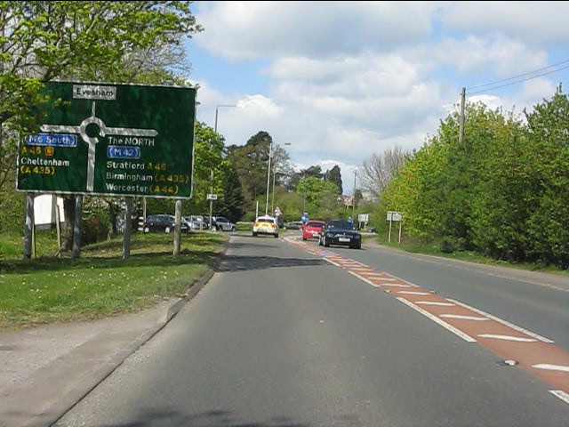
The village is well-connected to the surrounding areas by road networks, with easy access to the nearby towns of Bromsgrove and Redditch. Public transportation is also available, allowing residents to travel to Birmingham and other nearby cities.
In terms of education, Fairfield is home to a primary school, ensuring that children in the village have access to quality education without the need for long commutes.
Overall, Fairfield offers a tranquil and idyllic setting for those seeking a peaceful village lifestyle while still being within reach of larger urban centers.
If you have any feedback on the listing, please let us know in the comments section below.
Fairfield Images
Images are sourced within 2km of 52.084407/-1.952538 or Grid Reference SP0342. Thanks to Geograph Open Source API. All images are credited.


Fairfield is located at Grid Ref: SP0342 (Lat: 52.084407, Lng: -1.952538)
Administrative County: Worcestershire
District: Wychavon
Police Authority: West Mercia
What 3 Words
///searches.concluded.drifters. Near Evesham, Worcestershire
Nearby Locations
Related Wikis

River Isbourne
The River Isbourne is 14 mile (22 km) long tributary of the River Avon which flows through Gloucestershire and Worcestershire in the Midlands of England...
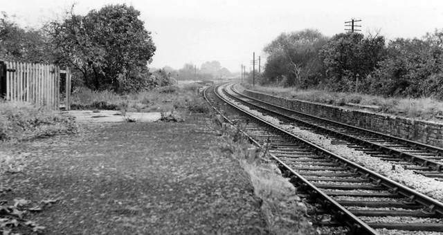
Bengeworth railway station
Bengeworth railway station was a station on the Midland Railway between Ashchurch and Evesham. The precise location of the station was not in the Evesham...

Evesham Rowing Club
Evesham Rowing Club is a rowing club on the River Avon, based at The Boathouse, Abbey Park, Evesham, Worcestershire. == History == The club was founded...
Almonry Museum and Heritage Centre
The Almonry Museum and Tourist Information Centre is a museum in Evesham in Worcestershire, England. It is also referred to as The Almonry Museum and just...

Hampton Ferry (River Avon)
The Hampton Ferry is a pedestrian cable ferry linking Evesham and the village of Hampton across the River Avon in the English county of Worcestershire...
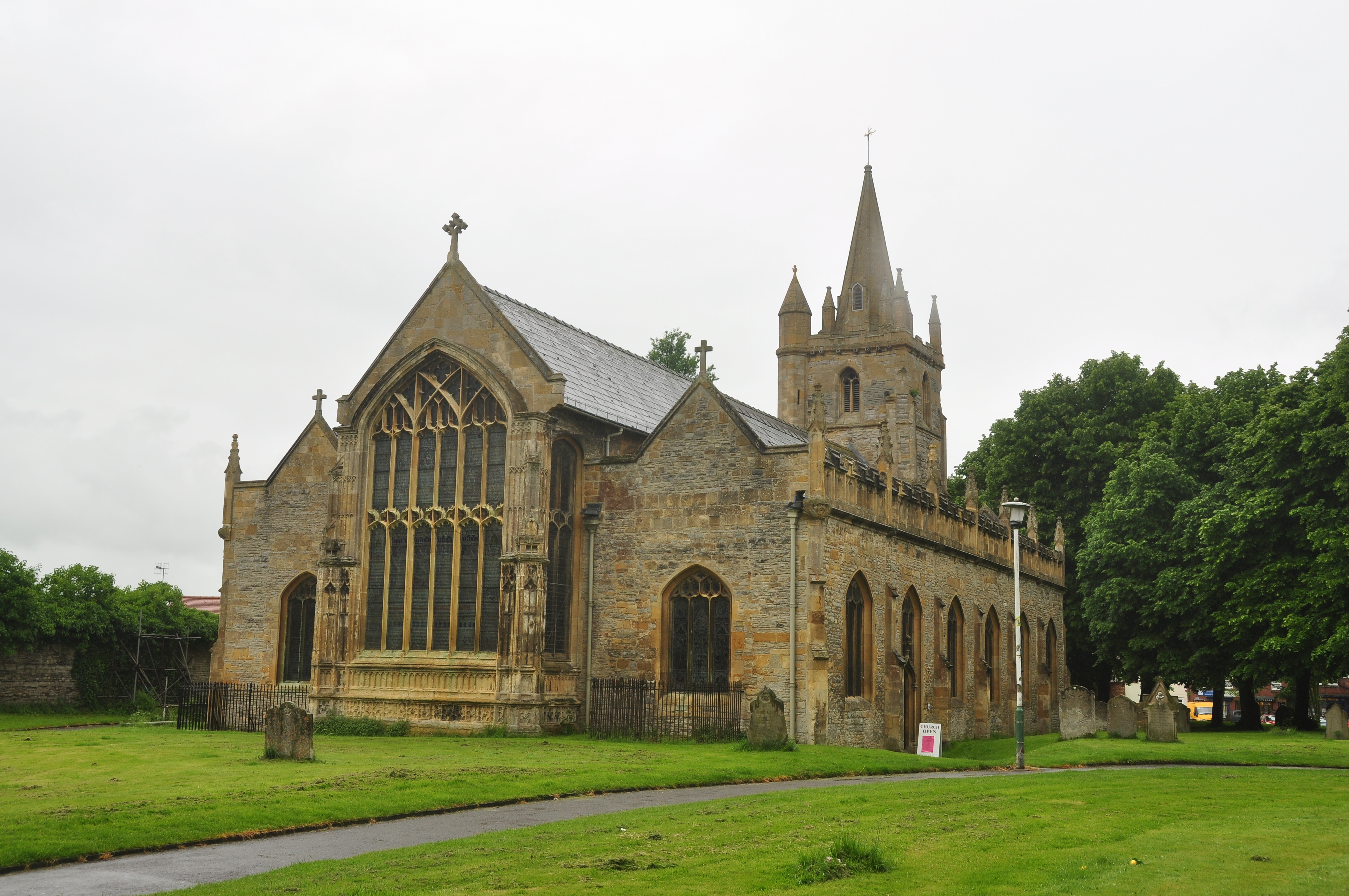
St Lawrence's Church, Evesham
St Lawrence's Church is a redundant Anglican church in the centre of the town of Evesham, Worcestershire, England. It is recorded in the National Heritage...
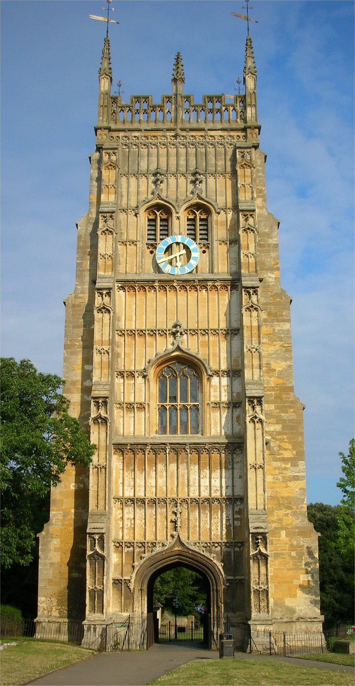
Evesham Abbey
Evesham Abbey was founded by Saint Egwin at Evesham in Worcestershire, England between 700 and 710 following an alleged vision of the Virgin Mary by a...
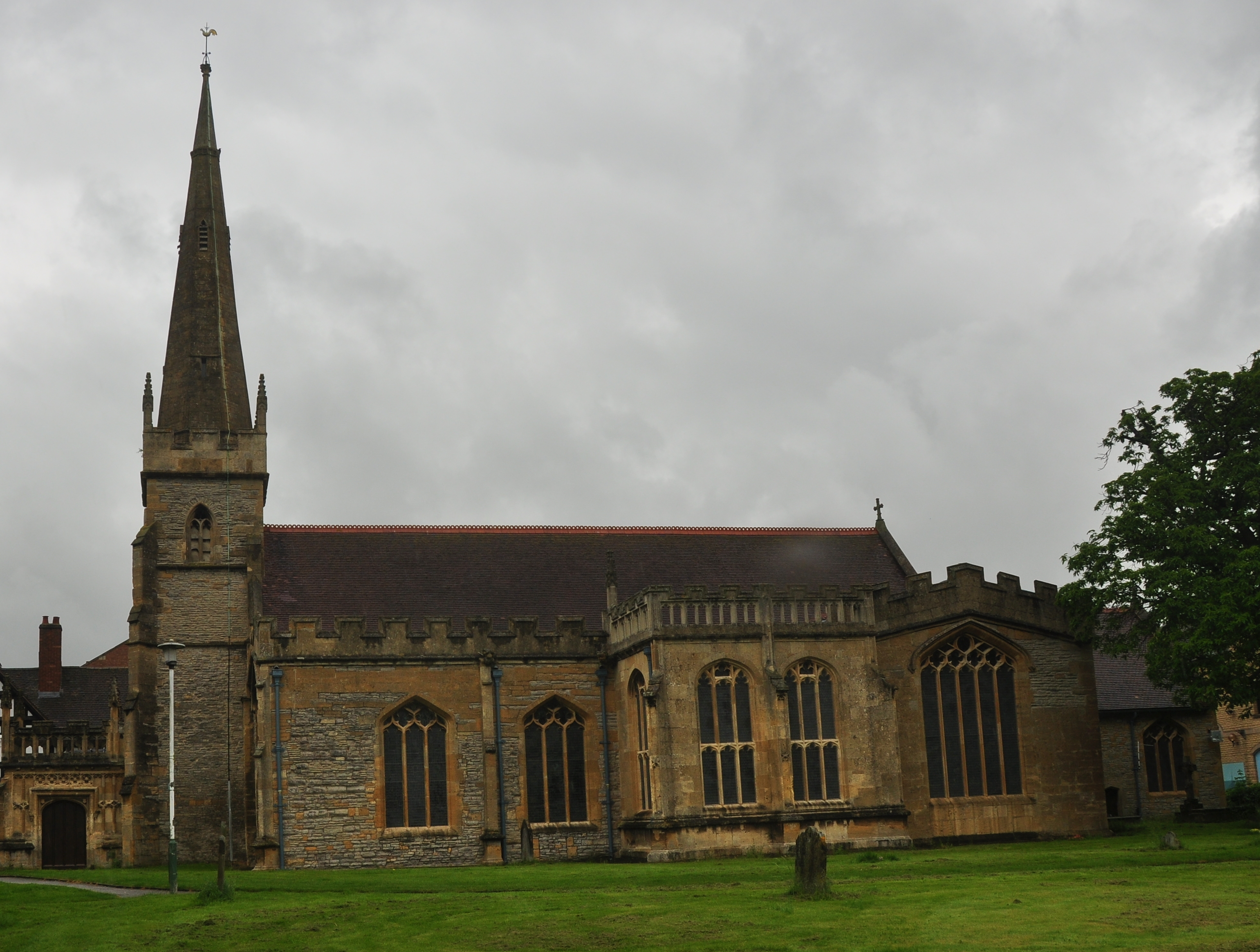
All Saints Church, Evesham
All Saints Church is an active Anglican church in the centre of the town of Evesham, Worcestershire, England. All Saints and its neighbour St Lawrence...
Nearby Amenities
Located within 500m of 52.084407,-1.952538Have you been to Fairfield?
Leave your review of Fairfield below (or comments, questions and feedback).