Taylor's Piece Plantation

Wood, Forest in Gloucestershire Cotswold

England

Taylor's Piece Plantation

Stone Stile, Rodmarton Just North of Oathill Lane crossroads on Gloucestershire footpath BRO9, looking NE. The view looking into the copse is <a href="https://www.geograph.org.uk/photo/7157012">ST9397 : Stone Stile, Rodmarton</a>.
Stone Stile, Rodmarton Credit: Mr Red

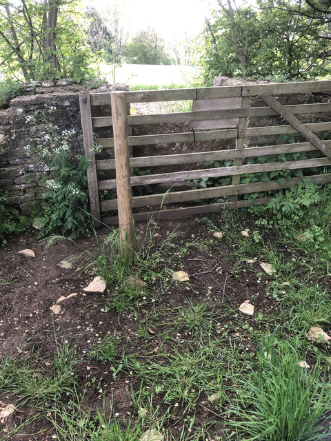
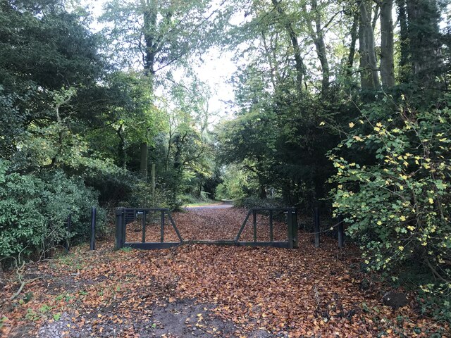
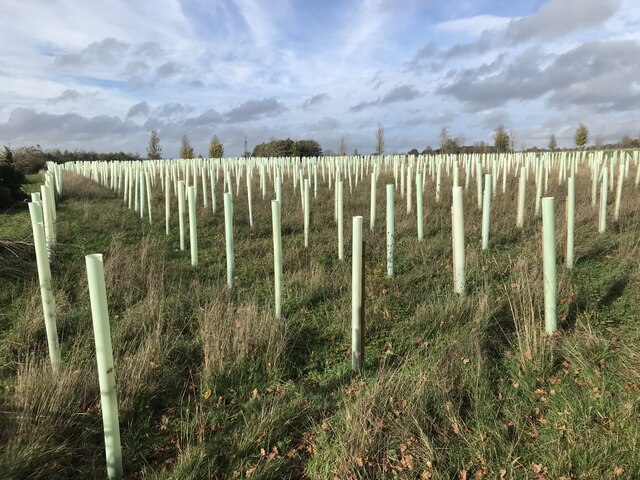
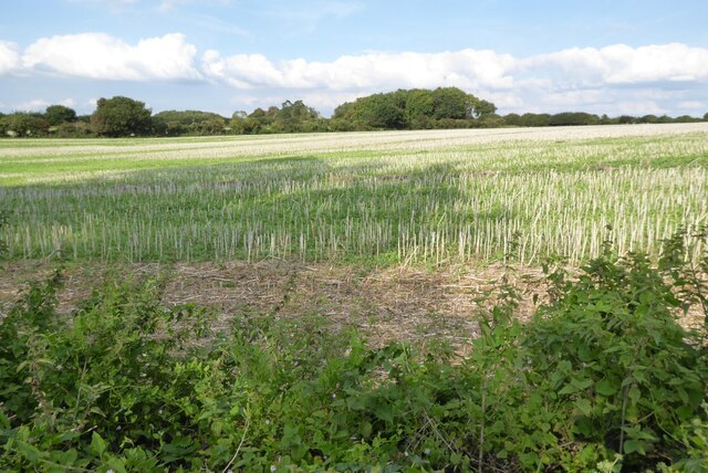
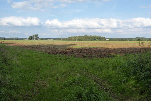
Taylor's Piece Plantation is a charming woodland located in Gloucestershire, England. Situated in the heart of the Forest of Dean, this plantation is renowned for its natural beauty and diverse ecosystem. Spanning over a vast area, Taylor's Piece offers visitors a serene and tranquil environment, making it a popular destination for nature enthusiasts and hikers.

The plantation is predominantly covered with a variety of native trees, including oak, beech, ash, and birch, creating a lush and verdant landscape. The dense woodland provides a habitat for a wide range of wildlife, such as deer, squirrels, and a myriad of bird species, making it a haven for wildlife enthusiasts and bird watchers.

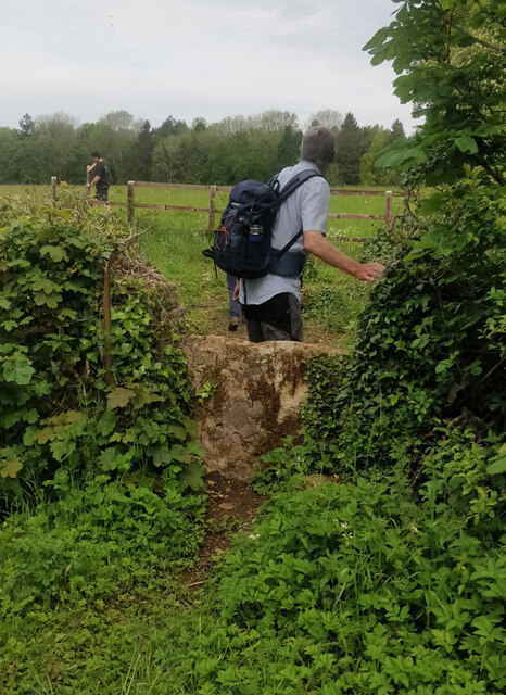
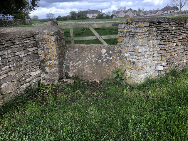
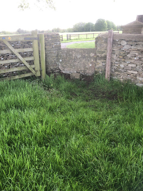
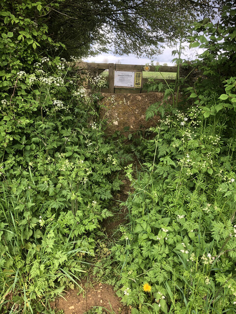
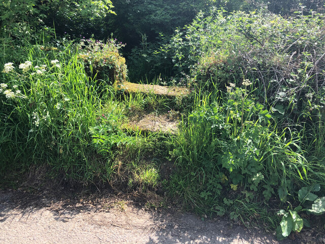
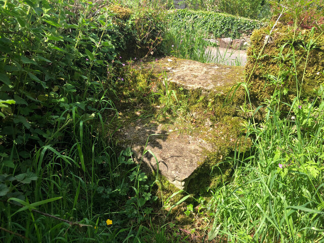
There are several well-maintained walking trails that wind through the plantation, allowing visitors to explore its beauty at their own pace. These trails cater to all levels of fitness and provide breathtaking views of the surrounding countryside. Nature lovers can also indulge in activities like photography, picnicking, and simply immersing themselves in the tranquility of the forest.

Taylor's Piece Plantation is easily accessible, with ample parking facilities and well-marked signposts. The plantation is open year-round, and each season offers a unique experience. In the spring, visitors can witness the vibrant burst of wildflowers, while autumn brings a stunning display of colorful foliage.

Overall, Taylor's Piece Plantation is a hidden gem in Gloucestershire, offering a peaceful retreat for those seeking solace in nature. Its picturesque beauty, diverse flora and fauna, and well-maintained trails make it a must-visit destination for anyone looking to reconnect with the natural world.

If you have any feedback on the listing, please let us know in the comments section below.

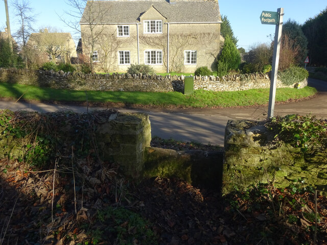
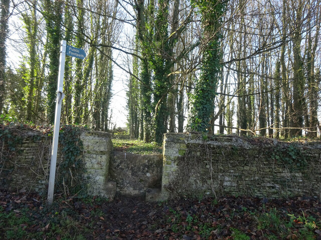
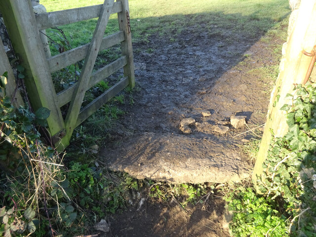
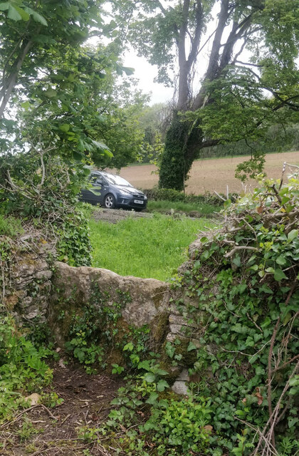
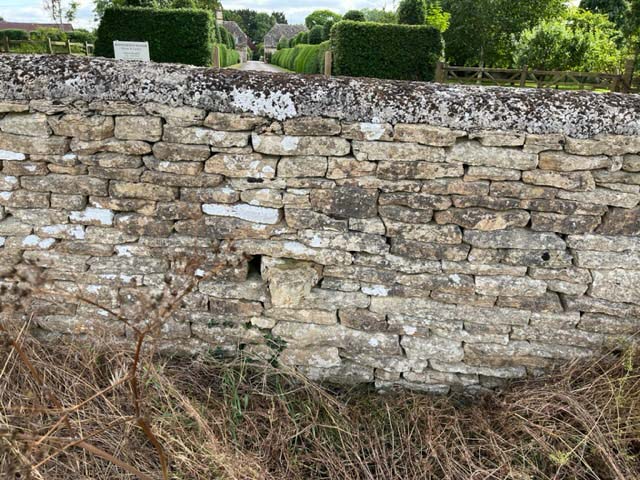
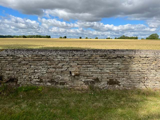
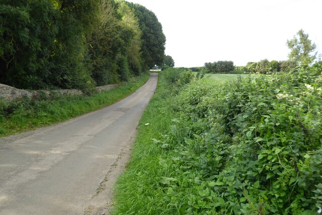
Taylor's Piece Plantation Images

Images are sourced within 2km of 51.672281/-2.1064701 or Grid Reference ST9297. Thanks to Geograph Open Source API. All images are credited.

Stone Stile, Rodmarton Just North of Oathill Lane crossroads on Gloucestershire footpath BRO9, looking NE. The view looking into the copse is <a href="https://www.geograph.org.uk/photo/7157012">ST9397 : Stone Stile, Rodmarton</a>.
Stone Stile, Rodmarton
Just North of Oathill Lane crossroads on Gloucestershire footpath BRO9, looking NE. The view looking into the copse is ST9397 : Stone Stile, Rodmarton.
Stone Stile, Rodmarton Just North of Oathill Lane crossroads on Gloucestershire footpath BRO9, looking SW. The view looking from the copse is <a href="https://www.geograph.org.uk/photo/7157011">ST9397 : Stone Stile, Rodmarton</a>.
Stone Stile, Rodmarton
Just North of Oathill Lane crossroads on Gloucestershire footpath BRO9, looking SW. The view looking from the copse is ST9397 : Stone Stile, Rodmarton.
Stone Stile, Rodmarton A "Fallen Idle". The remains of a stone slab that would have served as a stile before that gate was put in. On Gloucestershire footpath BRO11, looking from the road.
Stone Stile, Rodmarton
A "Fallen Idle". The remains of a stone slab that would have served as a stile before that gate was put in. On Gloucestershire footpath BRO11, looking from the road.
Stone Stile, Culkerton From the Northern side of the A433 on Gloucestershire footpath NCH9 looking to the road. The view from the road is <a href="https://www.geograph.org.uk/photo/7228263">ST9296 : Stone Stile, Culkerton</a>.
Stone Stile, Culkerton
From the Northern side of the A433 on Gloucestershire footpath NCH9 looking to the road. The view from the road is ST9296 : Stone Stile, Culkerton.
Stone Stile, Culkerton From the Northern side of the A433 on Gloucestershire footpath NCH9 looking to the road. The view from the road is <a href="https://www.geograph.org.uk/photo/7228261">ST9296 : Stone Stile, Culkerton</a>.
Stone Stile, Culkerton
From the Northern side of the A433 on Gloucestershire footpath NCH9 looking to the road. The view from the road is ST9296 : Stone Stile, Culkerton.
Stone Stile, Culkerton On Gloucestershire footpath NAS1 across Holt Farm looking South to the village. The view North is <a href="https://www.geograph.org.uk/photo/7233049">ST9295 : Stone Stile, Culkerton</a>.
Stone Stile, Culkerton
On Gloucestershire footpath NAS1 across Holt Farm looking South to the village. The view North is ST9295 : Stone Stile, Culkerton.
Stone Stile, Culkerton On Gloucestershire footpath NAS1 across Holt Farm looking North away from the village. The view South is <a href="https://www.geograph.org.uk/photo/7233045">ST9295 : Stone Stile, Culkerton</a>.
Stone Stile, Culkerton
On Gloucestershire footpath NAS1 across Holt Farm looking North away from the village. The view South is ST9295 : Stone Stile, Culkerton.
Stone Stile, Culkerton On Gloucestershire footpath NAS1 leading from the A433 to Culkerton Village. This view looks SE towards the village. The view looking NW to the disused Kemble to Tetbury branch line is <a href="https://www.geograph.org.uk/photo/7233146">ST9296 : Stone Stile, Culkerton</a>.
Stone Stile, Culkerton
On Gloucestershire footpath NAS1 leading from the A433 to Culkerton Village. This view looks SE towards the village. The view looking NW to the disused Kemble to Tetbury branch line is ST9296 : Stone Stile, Culkerton.
Stone Stile, Culkerton On Gloucestershire footpath NAS1 leading from the A433 to Culkerton Village. This view looks NW to the disused Kemble to Tetbury branch line. The view looking towards the village is <a href="https://www.geograph.org.uk/photo/7233144">ST9296 : Stone Stile, Culkerton</a>.
Stone Stile, Culkerton
On Gloucestershire footpath NAS1 leading from the A433 to Culkerton Village. This view looks NW to the disused Kemble to Tetbury branch line. The view looking towards the village is ST9296 : Stone Stile, Culkerton.
Stone Stile, Culkerton On Gloucestershire footpath NCH9 that heads SE to the A433 at Trull. This view looks NE from the road, the view looking back is <a href="https://www.geograph.org.uk/photo/7295826">ST9196 : Stone Stile, Culkerton</a>.
Stone Stile, Culkerton
On Gloucestershire footpath NCH9 that heads SE to the A433 at Trull. This view looks NE from the road, the view looking back is ST9196 : Stone Stile, Culkerton.
Stone Stile, Culkerton On Gloucestershire footpath NCH9 that heads SE to the A433 at Trull. This view looks SW to the road, the view looking in is <a href="https://www.geograph.org.uk/photo/7295825">ST9196 : Stone Stile, Culkerton</a>.
Stone Stile, Culkerton
On Gloucestershire footpath NCH9 that heads SE to the A433 at Trull. This view looks SW to the road, the view looking in is ST9196 : Stone Stile, Culkerton.
By-way gate
By-way gate
Plastic trees!
Plastic trees!
Stone Stile, Rodmarton A private step stile for Rodmarton Manor. This looks East towards the Manor Drive, the view to the fields is <a href="https://www.geograph.org.uk/photo/7422355">ST9497 : Stone Stile, Rodmarton</a>.
Stone Stile, Rodmarton
A private step stile for Rodmarton Manor. This looks East towards the Manor Drive, the view to the fields is ST9497 : Stone Stile, Rodmarton.
Stone Stile, Rodmarton A private step stile for Rodmarton Manor. This looks West away for the Manor Drive, the view to the Manor is <a href="https://www.geograph.org.uk/photo/7422353">ST9497 : Stone Stile, Rodmarton</a>.
Stone Stile, Rodmarton
A private step stile for Rodmarton Manor. This looks West away for the Manor Drive, the view to the Manor is ST9497 : Stone Stile, Rodmarton.
Road to Cherington Country road from Culkerton to Cherington.
Road to Cherington
Country road from Culkerton to Cherington.
Farmland near Cherington
Show me another place!

Taylor's Piece Plantation is located at Grid Ref: ST9297 (Lat: 51.672281, Lng: -2.1064701)

Administrative County: Gloucestershire

District: Cotswold

Police Authority: Gloucestershire

What 3 Words

///interrupt.swim.counters. Near Avening, Gloucestershire

Related Wikis

Trull House

Trull House is a Grade II listed country house near the hamlet of Trull, to the north of the village of Ashley and about 3.4 miles (5.5 km) northeast of...

Windmill Tump

Windmill Tump, also known as Rodmarton Chambered Tomb, is a Neolithic burial site, a stone tumulus or barrow. It is a mound covering the site of graves...

Church's Hill Halt railway station

Church's Hill Halt railway station served the village of Ashley, Gloucestershire, England, from 1959 to 1964 on the Tetbury Branch Line. == History... ==

Culkerton Halt railway station

Culkerton Halt railway station served the hamlet of Culkerton, Gloucestershire, England, from 1889 to 1964 on the Tetbury Branch Line. == History == The...

Nearby Amenities

Located within 500m of 51.672281,-2.1064701
The data included in this document is from www.openstreetmap.org. The data is made available under ODbL.

Have you been to Taylor's Piece Plantation?

Leave your review of Taylor's Piece Plantation below (or comments, questions and feedback).