Inlands Plantation
Wood, Forest in Gloucestershire Cotswold
England
Inlands Plantation
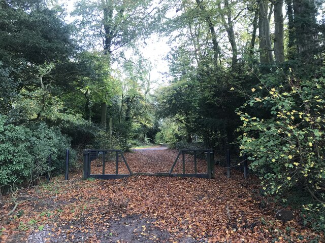
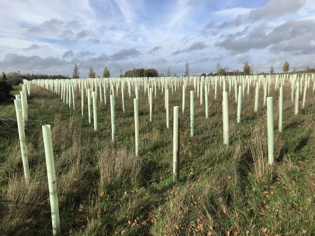
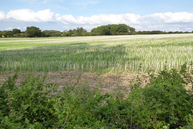
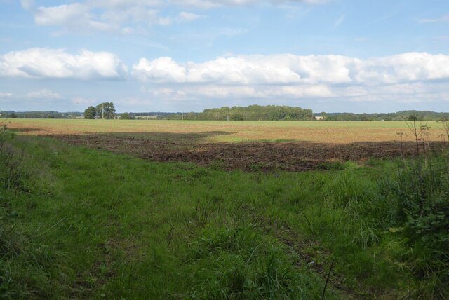
Inlands Plantation is a stunning woodland area located in Gloucestershire, England. Spanning over 500 acres, it is a haven for nature enthusiasts and those seeking tranquility amidst the beauty of the forest. The plantation is situated on the outskirts of the small village of Inlands, surrounded by rolling hills and picturesque landscapes.
The woodland in Inlands Plantation is primarily composed of native tree species such as oak, beech, and birch. These towering trees provide a dense canopy, creating a shaded and cool environment below. The forest floor is covered with a rich carpet of moss, ferns, and wildflowers, adding to the enchanting atmosphere.
The plantation is home to a diverse range of wildlife, making it a popular destination for birdwatchers and wildlife photographers. Visitors may be fortunate enough to spot species such as the great spotted woodpecker, tawny owl, and roe deer. The plantation also supports a variety of smaller mammals, including foxes, squirrels, and badgers.
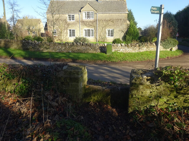
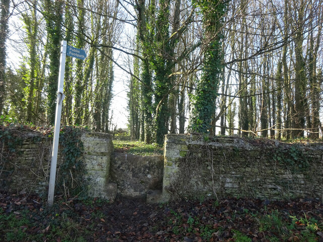
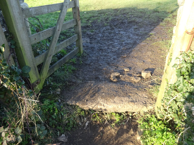
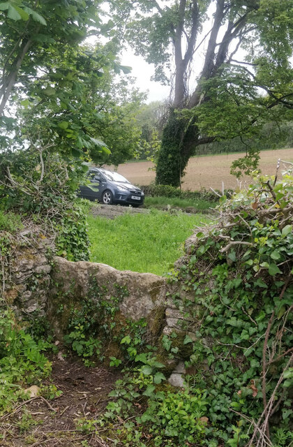
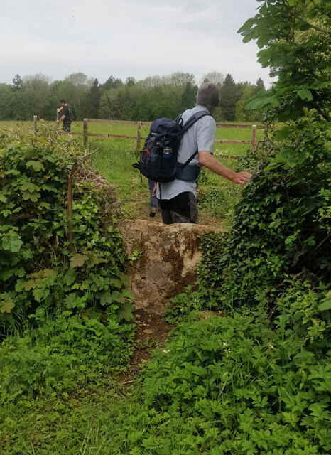
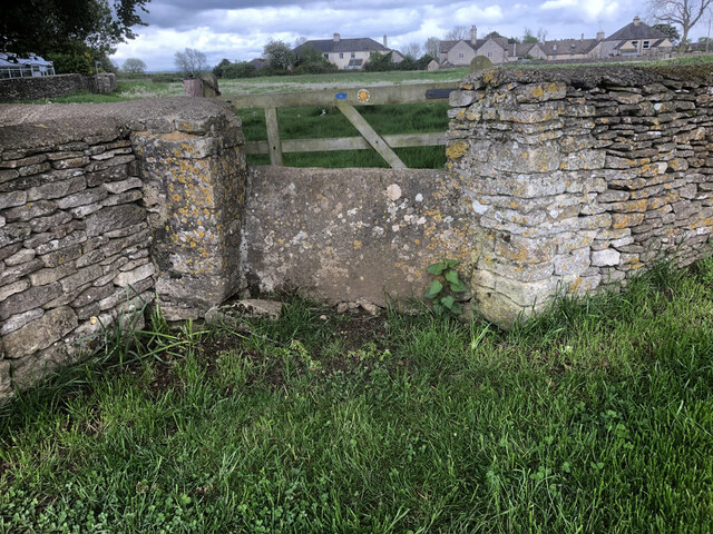
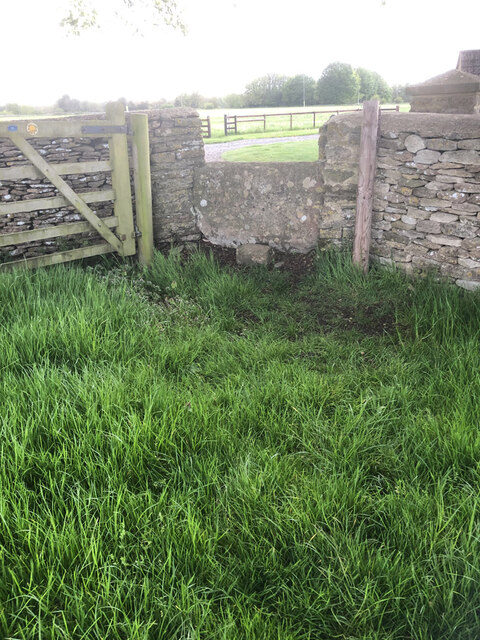
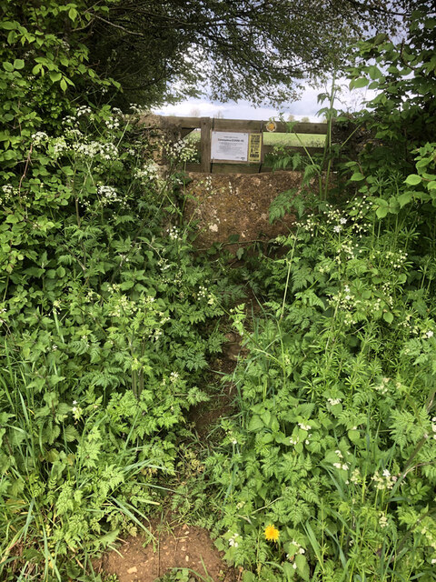
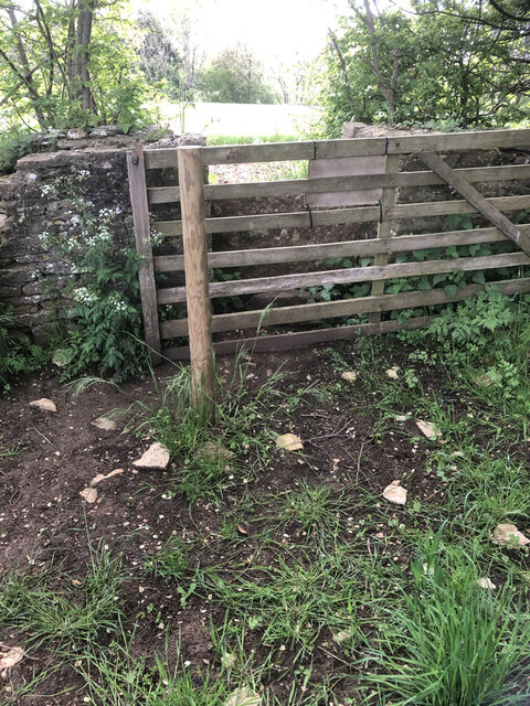
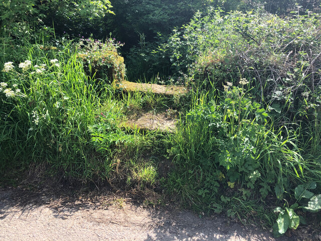
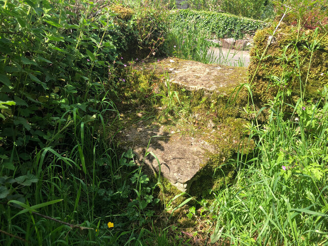
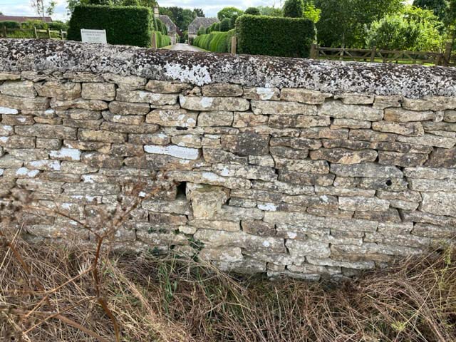
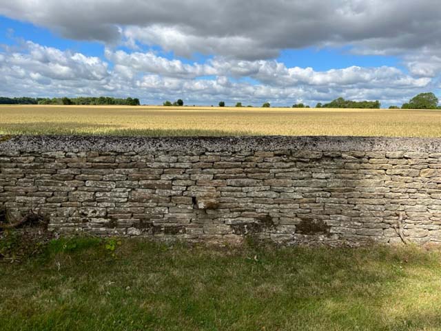
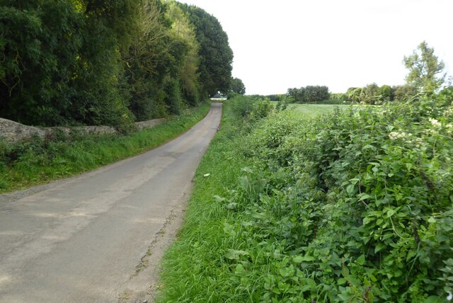
Inlands Plantation offers several walking trails, allowing visitors to explore the woodland and discover its hidden gems. The paths wind through the forest, leading to tranquil ponds, babbling brooks, and secluded picnic spots. Interpretive signs along the way provide information about the plant and animal life, enhancing the educational value of the experience.
Whether one seeks a peaceful stroll amidst nature, an opportunity to observe wildlife, or simply a chance to escape the hustle and bustle of everyday life, Inlands Plantation offers a truly unforgettable experience in the heart of Gloucestershire's woodlands.
If you have any feedback on the listing, please let us know in the comments section below.
Inlands Plantation Images
Images are sourced within 2km of 51.676596/-2.1074926 or Grid Reference ST9297. Thanks to Geograph Open Source API. All images are credited.
Inlands Plantation is located at Grid Ref: ST9297 (Lat: 51.676596, Lng: -2.1074926)
Administrative County: Gloucestershire
District: Cotswold
Police Authority: Gloucestershire
What 3 Words
///floating.albums.gloves. Near Avening, Gloucestershire
Nearby Locations
Related Wikis
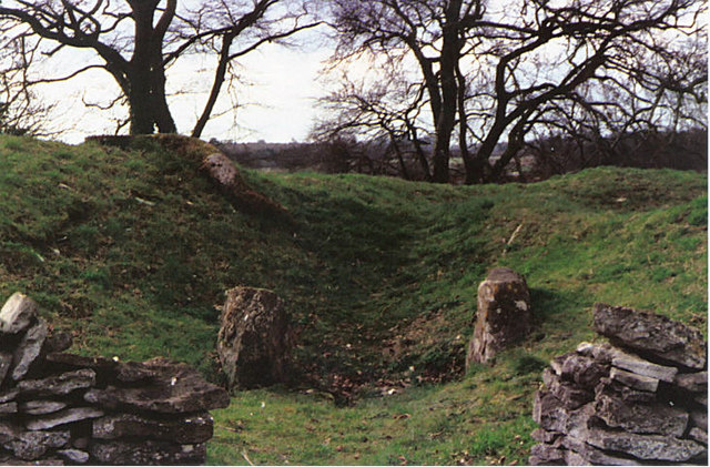
Windmill Tump
Windmill Tump, also known as Rodmarton Chambered Tomb, is a Neolithic burial site, a stone tumulus or barrow. It is a mound covering the site of graves...

Trull House
Trull House is a Grade II listed country house near the hamlet of Trull, to the north of the village of Ashley and about 3.4 miles (5.5 km) northeast of...

Church's Hill Halt railway station
Church's Hill Halt railway station served the village of Ashley, Gloucestershire, England, from 1959 to 1964 on the Tetbury Branch Line. == History... ==

Rodmarton
Rodmarton is a village and civil parish in Gloucestershire. == History == Evidence of a Roman settlement has been found at Rodmarton. Through the parish...

Culkerton Halt railway station
Culkerton Halt railway station served the hamlet of Culkerton, Gloucestershire, England, from 1889 to 1964 on the Tetbury Branch Line. == History == The...

Rodmarton Manor
Rodmarton Manor is a large country house, in Rodmarton, near Cirencester, Gloucestershire, built for the Biddulph family. It is a Grade I listed building...
Rodmarton Platform railway station
Rodmarton Platform was a railway station serving the village of Rodmarton on the Tetbury branch line between Cirencester and Tetbury in Gloucestershire...
Cherington, Gloucestershire
Cherington is a village and civil parish in the Cotswold District of Gloucestershire, England. It lies under 3 miles south east of Minchinhampton and 4...
Nearby Amenities
Located within 500m of 51.676596,-2.1074926Have you been to Inlands Plantation?
Leave your review of Inlands Plantation below (or comments, questions and feedback).