Barleymill Covert
Wood, Forest in Northumberland
England
Barleymill Covert
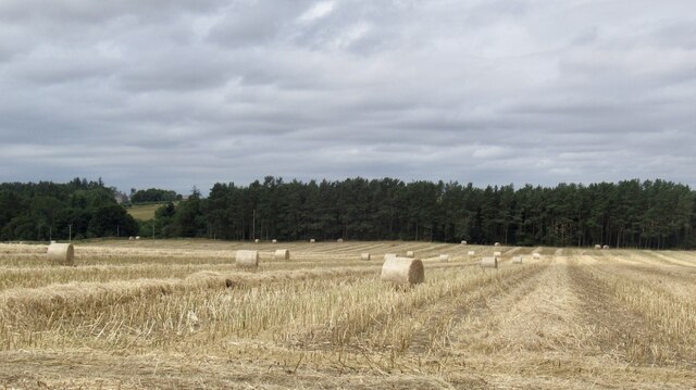
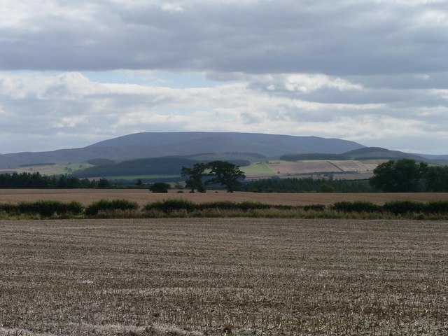
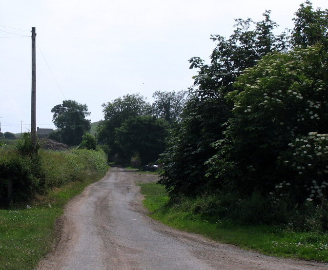
Barleymill Covert is a picturesque woodland located in Northumberland, England. Situated in the heart of the county, this captivating forest spans an area of approximately 100 acres, making it a haven for nature enthusiasts and outdoor lovers alike.
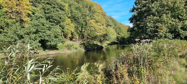
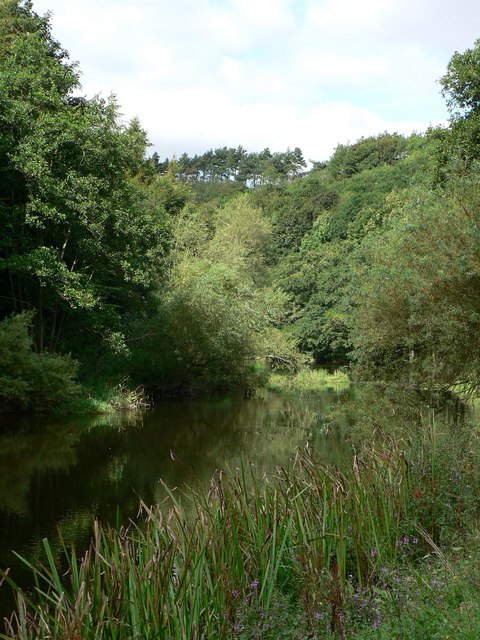
The woodland is predominantly composed of an assortment of native tree species, including oak, birch, and beech, which create a stunning and diverse landscape. The canopy of the trees provides a welcome respite from the sun during the summer months, while the vibrant colors of the leaves make it an enchanting destination during the autumn season.
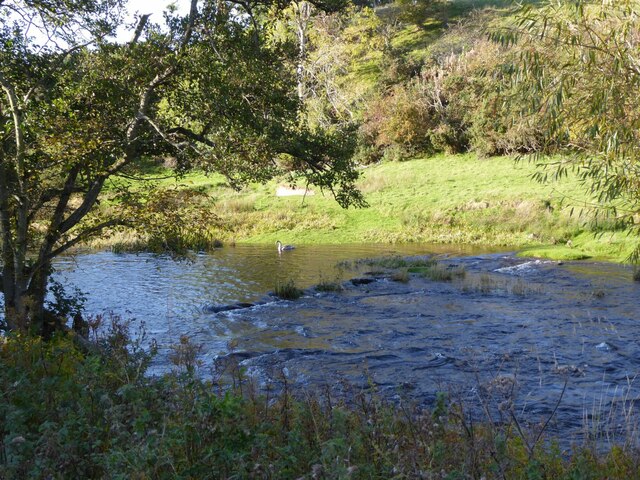
Barleymill Covert boasts a rich biodiversity, with an array of wildlife calling it home. Visitors may be lucky enough to spot red squirrels scampering through the branches or catch a glimpse of deer grazing peacefully in the glades. The forest is also frequented by a variety of bird species, making it a haven for birdwatchers.
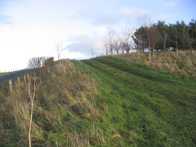
For those seeking outdoor activities, Barleymill Covert offers an extensive network of walking trails, allowing visitors to explore the woodland at their own pace. The trails wind through the forest, leading hikers through ancient woodlands, tranquil meadows, and bubbling streams. These paths cater to all abilities, from leisurely strolls to more challenging hikes for the more adventurous.
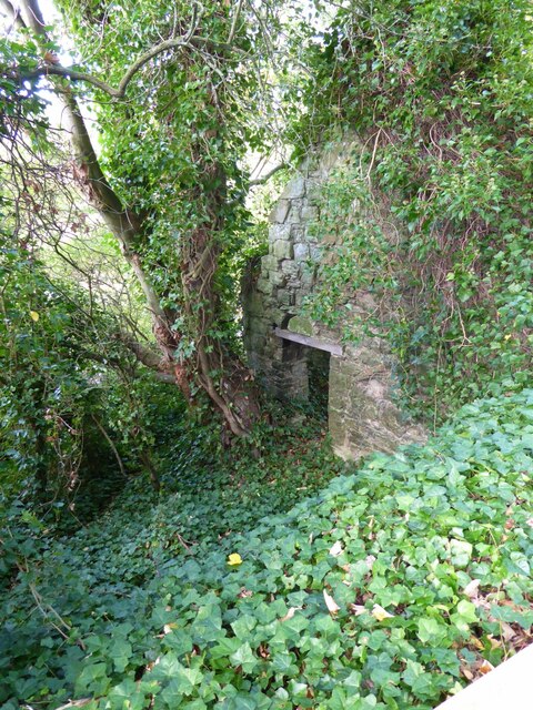
Barleymill Covert is a true gem of Northumberland, offering a peaceful and serene escape from the hustle and bustle of daily life. Its natural beauty, diverse wildlife, and well-maintained trails make it an ideal destination for anyone seeking solace in nature.
If you have any feedback on the listing, please let us know in the comments section below.
Barleymill Covert Images
Images are sourced within 2km of 55.658319/-2.1169974 or Grid Reference NT9240. Thanks to Geograph Open Source API. All images are credited.


Barleymill Covert is located at Grid Ref: NT9240 (Lat: 55.658319, Lng: -2.1169974)
Unitary Authority: Northumberland
Police Authority: Northumbria
What 3 Words
///suits.officers.merit. Near Ford, Northumberland
Related Wikis

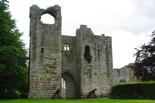
Etal Castle
Etal Castle is a ruined medieval fortification in the village of Etal, Northumberland, England. It was built around 1341 by Robert Manners, and comprised...

Etal, Northumberland
Etal ( EE-təl) is a small village in the far north of the county of Northumberland, England, in the civil parish of Ford. It lies on a bridging point of...

Ford Forge
Ford Forge (Ford Mill), Northumberland, England is located on the River Till between the villages of Ford and Etal. Buildings housing a water-powered forge...

Duddo Tower
Duddo Tower is a Scheduled Ancient Monument and a Grade II listed building comprising the ruinous remains of an ancient pele tower and 16th century tower...

Heatherslaw Mill
Heatherslaw Mill is a water mill situated on the Ford and Etal Estate, 7 miles north of the town of Wooler in the English county of Northumberland. It...
Duddo
Duddo is a village and civil parish in Northumberland, about 8 miles (13 km) southwest of Berwick-upon-Tweed. == History == Duddo Five Stones is a stone...

Crookham, Northumberland
Crookham is a village on the River Till in Northumberland, in England. It is situated approximately 8 km (5.0 mi) to the east of Coldstream and 14 km...
Heaton Castle
Heaton Castle (anciently Heton) in the parish of Cornhill-on-Tweed, Northumberland, England, is a ruined historic castle near the Scottish border. It is...
Nearby Amenities
Located within 500m of 55.658319,-2.1169974Have you been to Barleymill Covert?
Leave your review of Barleymill Covert below (or comments, questions and feedback).