Purley Covert

Wood, Forest in Gloucestershire Cotswold

England

Purley Covert

Stone Stile, Culkerton From the Northern side of the A433 on Gloucestershire footpath NCH9 looking to the road. The view from the road is <a href="https://www.geograph.org.uk/photo/7228263">ST9296 : Stone Stile, Culkerton</a>.
Stone Stile, Culkerton Credit: Lenneke Jansens

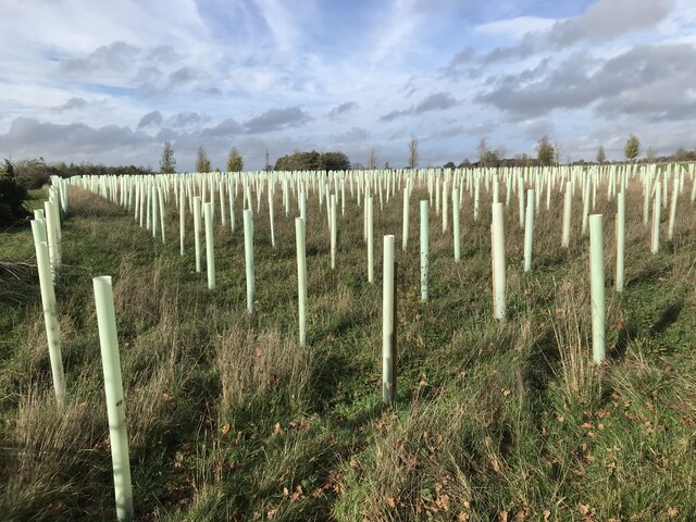
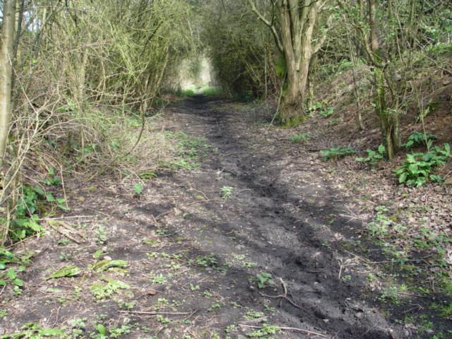
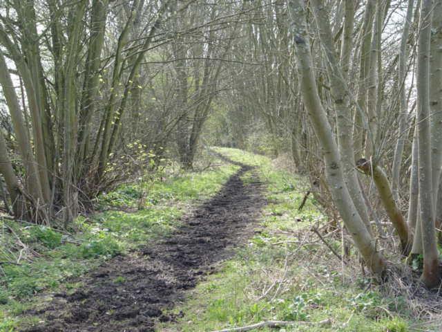
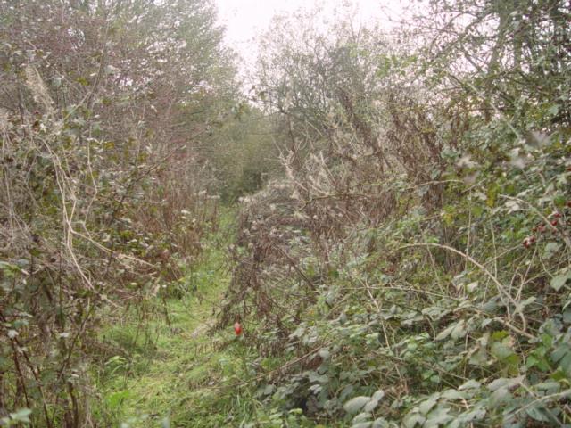
Purley Covert is a small woodland area located in the county of Gloucestershire, England. Situated within the larger Forest of Dean, it covers approximately 200 acres of land. The woodland is characterized by its dense and diverse vegetation, comprising mainly of deciduous trees such as oak, beech, and ash.

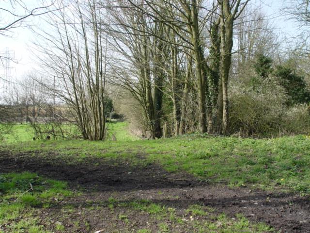
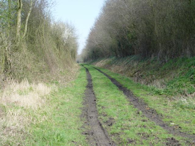
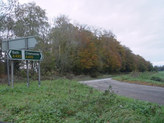
The area offers a tranquil and serene environment, making it a popular spot for nature enthusiasts and hikers. The woodland is crisscrossed by numerous walking trails, providing opportunities for visitors to explore its beauty and observe the local flora and fauna. Wildlife sightings are common in Purley Covert, with deer, badgers, foxes, and a variety of bird species frequently spotted in the area.

The woodland is managed by the Forestry Commission, which ensures the preservation and sustainable use of the forest resources. This includes regular maintenance activities like tree planting and selective felling to maintain a healthy and balanced ecosystem.

Purley Covert also holds historical significance, as it was once part of the ancient Royal Forest of Dean, which dates back to medieval times. The woodland has seen various uses throughout history, including timber extraction and iron mining.

Overall, Purley Covert offers a picturesque natural environment, rich in biodiversity and steeped in history. Its accessibility, well-maintained trails, and abundant wildlife make it an attractive destination for outdoor enthusiasts and nature lovers seeking a peaceful retreat in the heart of Gloucestershire.

If you have any feedback on the listing, please let us know in the comments section below.

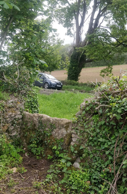
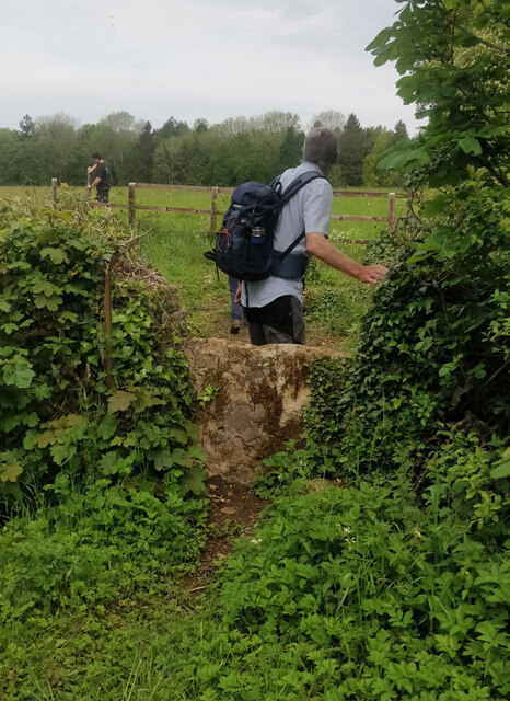
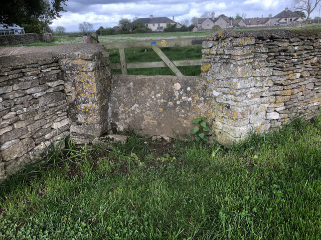
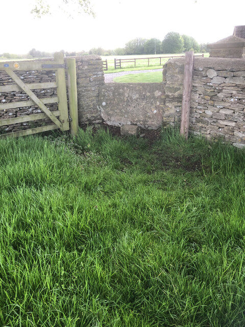
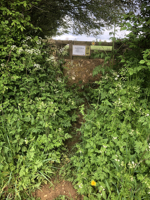
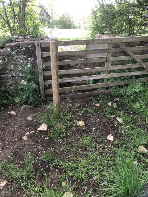
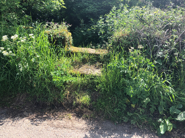
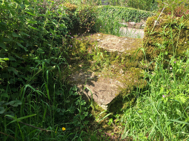
Purley Covert Images

Images are sourced within 2km of 51.658655/-2.111122 or Grid Reference ST9295. Thanks to Geograph Open Source API. All images are credited.

Stone Stile, Culkerton From the Northern side of the A433 on Gloucestershire footpath NCH9 looking to the road. The view from the road is <a href="https://www.geograph.org.uk/photo/7228263">ST9296 : Stone Stile, Culkerton</a>.
Stone Stile, Culkerton
From the Northern side of the A433 on Gloucestershire footpath NCH9 looking to the road. The view from the road is ST9296 : Stone Stile, Culkerton.
Stone Stile, Culkerton From the Northern side of the A433 on Gloucestershire footpath NCH9 looking to the road. The view from the road is <a href="https://www.geograph.org.uk/photo/7228261">ST9296 : Stone Stile, Culkerton</a>.
Stone Stile, Culkerton
From the Northern side of the A433 on Gloucestershire footpath NCH9 looking to the road. The view from the road is ST9296 : Stone Stile, Culkerton.
Stone Stile, Culkerton On Gloucestershire footpath NAS1 across Holt Farm looking South to the village. The view North is <a href="https://www.geograph.org.uk/photo/7233049">ST9295 : Stone Stile, Culkerton</a>.
Stone Stile, Culkerton
On Gloucestershire footpath NAS1 across Holt Farm looking South to the village. The view North is ST9295 : Stone Stile, Culkerton.
Stone Stile, Culkerton On Gloucestershire footpath NAS1 across Holt Farm looking North away from the village. The view South is <a href="https://www.geograph.org.uk/photo/7233045">ST9295 : Stone Stile, Culkerton</a>.
Stone Stile, Culkerton
On Gloucestershire footpath NAS1 across Holt Farm looking North away from the village. The view South is ST9295 : Stone Stile, Culkerton.
Stone Stile, Culkerton On Gloucestershire footpath NAS1 leading from the A433 to Culkerton Village. This view looks SE towards the village. The view looking NW to the disused Kemble to Tetbury branch line is <a href="https://www.geograph.org.uk/photo/7233146">ST9296 : Stone Stile, Culkerton</a>.
Stone Stile, Culkerton
On Gloucestershire footpath NAS1 leading from the A433 to Culkerton Village. This view looks SE towards the village. The view looking NW to the disused Kemble to Tetbury branch line is ST9296 : Stone Stile, Culkerton.
Stone Stile, Culkerton On Gloucestershire footpath NAS1 leading from the A433 to Culkerton Village. This view looks NW to the disused Kemble to Tetbury branch line. The view looking towards the village is <a href="https://www.geograph.org.uk/photo/7233144">ST9296 : Stone Stile, Culkerton</a>.
Stone Stile, Culkerton
On Gloucestershire footpath NAS1 leading from the A433 to Culkerton Village. This view looks NW to the disused Kemble to Tetbury branch line. The view looking towards the village is ST9296 : Stone Stile, Culkerton.
Stone Stile, Culkerton On Gloucestershire footpath NCH9 that heads SE to the A433 at Trull. This view looks NE from the road, the view looking back is <a href="https://www.geograph.org.uk/photo/7295826">ST9196 : Stone Stile, Culkerton</a>.
Stone Stile, Culkerton
On Gloucestershire footpath NCH9 that heads SE to the A433 at Trull. This view looks NE from the road, the view looking back is ST9196 : Stone Stile, Culkerton.
Stone Stile, Culkerton On Gloucestershire footpath NCH9 that heads SE to the A433 at Trull. This view looks SW to the road, the view looking in is <a href="https://www.geograph.org.uk/photo/7295825">ST9196 : Stone Stile, Culkerton</a>.
Stone Stile, Culkerton
On Gloucestershire footpath NCH9 that heads SE to the A433 at Trull. This view looks SW to the road, the view looking in is ST9196 : Stone Stile, Culkerton.
Plastic trees!
Plastic trees!
Culkerton Junction at the northern end of Culkerton looking south, the turn to Ashley going left. Note the old fashioned phonebox.
Culkerton
Junction at the northern end of Culkerton looking south, the turn to Ashley going left. Note the old fashioned phonebox.
A433 Junction near Ilsom Looking North from Newnton Hill road at the A433 Junction to Cirencester and Bath. The junction is approx 1.8 miles North East of Tetbury.
A433 Junction near Ilsom
Looking North from Newnton Hill road at the A433 Junction to Cirencester and Bath. The junction is approx 1.8 miles North East of Tetbury.
Trouble House Inn Trouble House Inn on the A433 near Tetbury Gloucestershire this photo was taken from the Tetbury to Kemble G.W.R branch line
Trouble House Inn
Trouble House Inn on the A433 near Tetbury Gloucestershire this photo was taken from the Tetbury to Kemble G.W.R branch line
Tetbury Branch Line Track Bed Former G.W.R railway line taken from the site of the former Newnton road bridge looking towards Trouble House Halt
Tetbury Branch Line Track Bed
Former G.W.R railway line taken from the site of the former Newnton road bridge looking towards Trouble House Halt
Trouble House Halt Trouble House Halt on the former G.W.R Kemble to Tetbury branch looking from the halt towards Tetbury
Trouble House Halt
Trouble House Halt on the former G.W.R Kemble to Tetbury branch looking from the halt towards Tetbury
Trouble House Halt Trouble House Halt on the former G.W.R Kemble to Tetbury branch looking from the halt towards the A433 Tetbury the Inn is obscured by the trees.
Trouble House Halt
Trouble House Halt on the former G.W.R Kemble to Tetbury branch looking from the halt towards the A433 Tetbury the Inn is obscured by the trees.
Tetbury Branch Line Near Culkerton Former Tetbury to Kemble G.W.R track bed looking towards Culkerton Station.
Tetbury Branch Line Near Culkerton
Former Tetbury to Kemble G.W.R track bed looking towards Culkerton Station.
Tetbury Branch Line Track Bed Former G.W.R Kemble to Tetbury branch line from Long Newnton bridge looking towards Tetbury
Tetbury Branch Line Track Bed
Former G.W.R Kemble to Tetbury branch line from Long Newnton bridge looking towards Tetbury
Road Junction A433 near Culkerton
Show me another place!

Purley Covert is located at Grid Ref: ST9295 (Lat: 51.658655, Lng: -2.111122)

Administrative County: Gloucestershire

District: Cotswold

Police Authority: Gloucestershire

What 3 Words

///walls.counts.basics. Near Tetbury, Gloucestershire

Nearby Locations

Culkerton Purley Covert

Related Wikis

Culkerton Halt railway station

Culkerton Halt railway station served the hamlet of Culkerton, Gloucestershire, England, from 1889 to 1964 on the Tetbury Branch Line. == History == The...

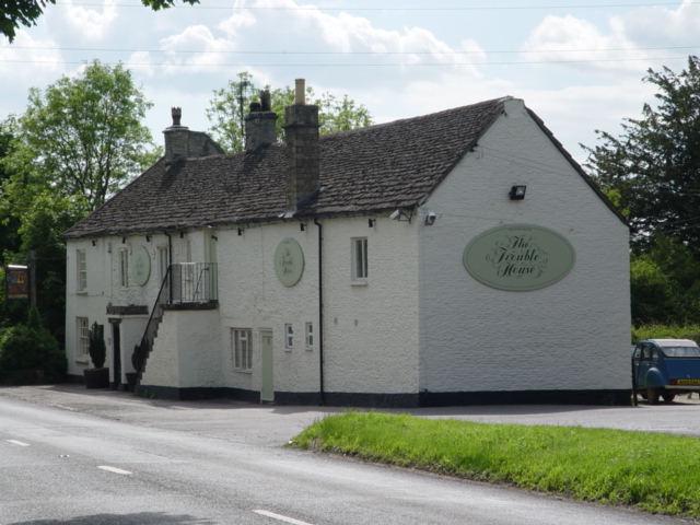
Trouble House Halt railway station

Trouble House Halt was a small station on the Tetbury branch line between Kemble and Tetbury between 1959 and 1964, when the line closed as part of the...

Church's Hill Halt railway station

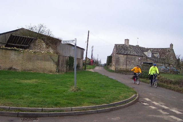
Church's Hill Halt railway station served the village of Ashley, Gloucestershire, England, from 1959 to 1964 on the Tetbury Branch Line. == History... ==

Trull House

Trull House is a Grade II listed country house near the hamlet of Trull, to the north of the village of Ashley and about 3.4 miles (5.5 km) northeast of...

Related Videos

The Three Bells of Ashley, Gloucestershire

The final video from 8th August 2014 - and the first tower of the day - complementing nwbowden's recently published (and truly ...

Have you been to Purley Covert?

Leave your review of Purley Covert below (or comments, questions and feedback).