Culkerton
Settlement in Gloucestershire Cotswold
England
Culkerton
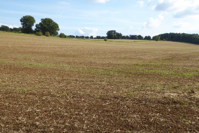
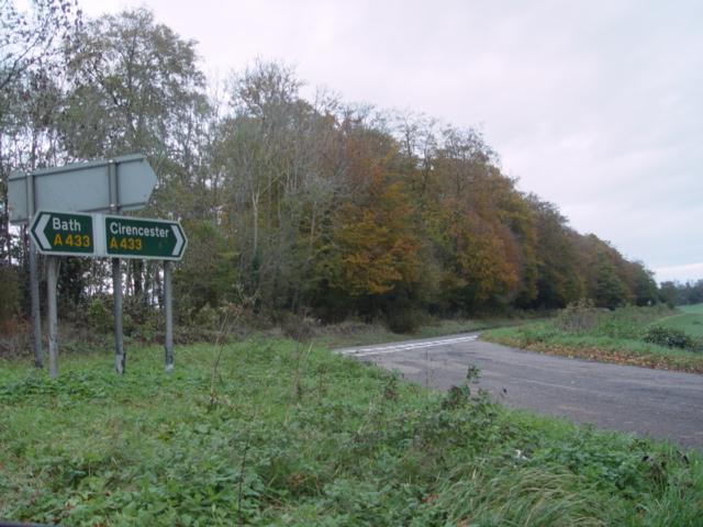
Culkerton is a small village located in the county of Gloucestershire, England. Situated in the heart of the Cotswolds, it is surrounded by picturesque rolling hills and breathtaking countryside. The village is nestled approximately 8 miles northeast of the town of Tetbury and 15 miles southwest of Cirencester.
With a population of around 300 residents, Culkerton maintains its rural charm and tranquility. The village is characterized by its quaint cottages built with traditional Cotswold stone, adding to its idyllic charm. The local community is tight-knit, fostering a strong sense of community spirit.
Culkerton boasts several amenities for its residents, including a village hall, a primary school, and a village pub. The village hall serves as a hub for various social and recreational activities, hosting events such as community meetings, exercise classes, and local gatherings. The primary school provides education to the local children, ensuring a convenient and accessible learning environment.
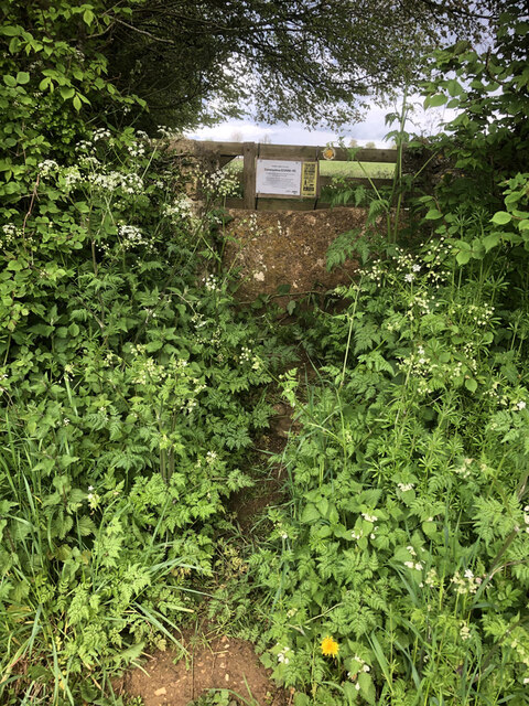
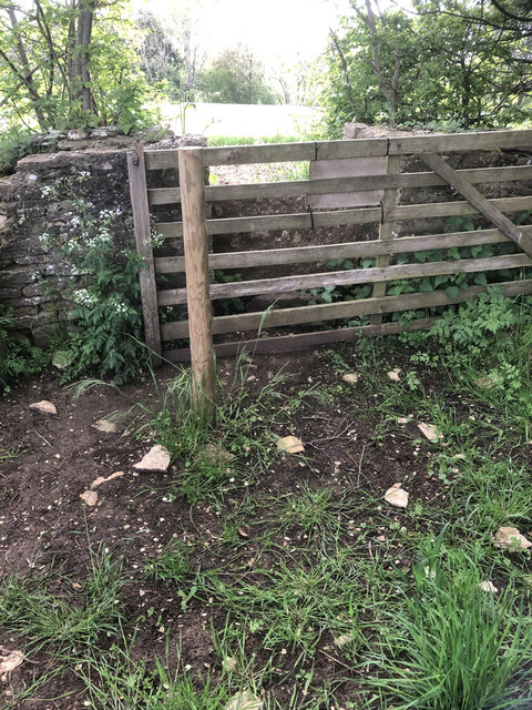
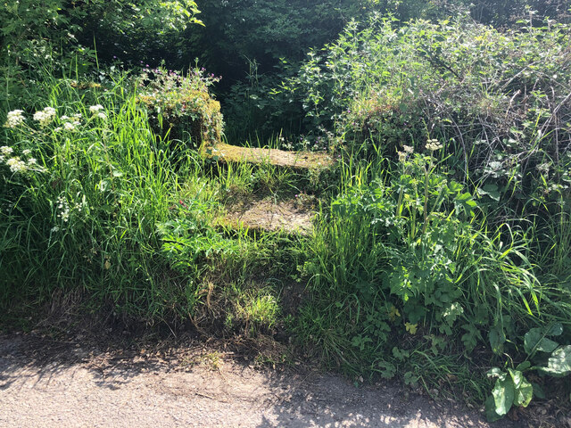
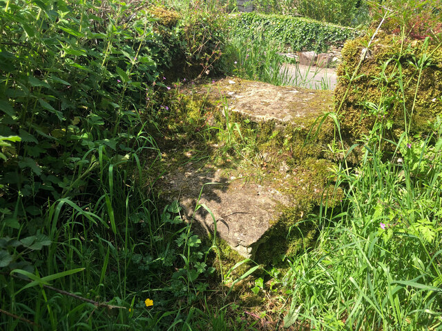
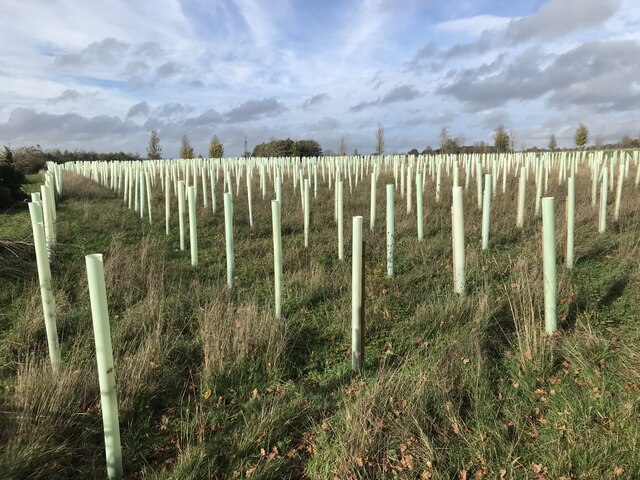
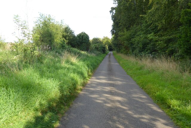
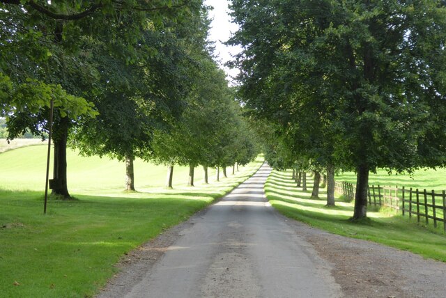
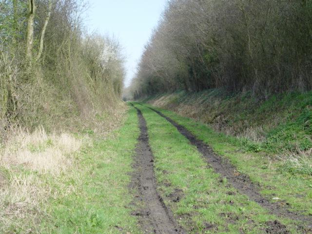
The surrounding countryside offers numerous opportunities for outdoor activities. Residents and visitors can explore the beautiful walking trails and footpaths that wind through the rolling hills, providing breathtaking views of the Cotswolds. The village is also conveniently located near the Cotswold Way, a renowned long-distance footpath that attracts hikers and nature enthusiasts from all over the country.
Overall, Culkerton is a charming and peaceful village in Gloucestershire, offering residents and visitors a quintessential Cotswold experience with its stunning landscapes, strong community spirit, and access to outdoor activities.
If you have any feedback on the listing, please let us know in the comments section below.
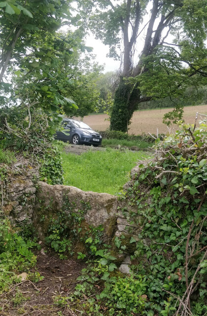
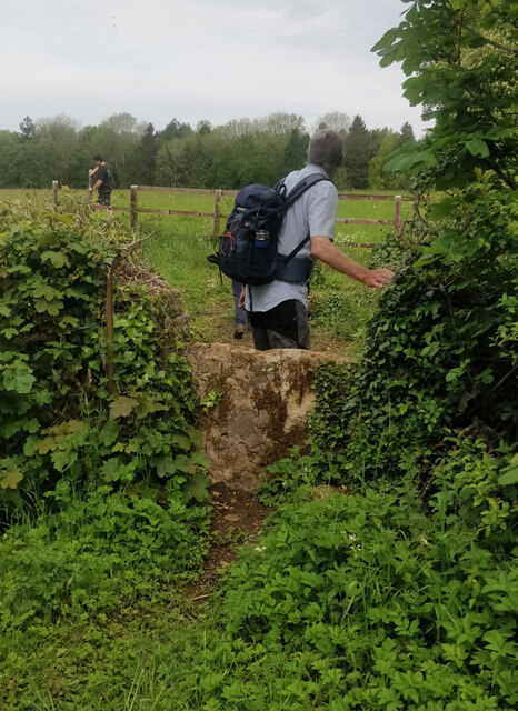
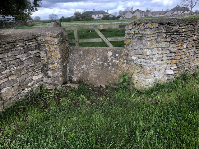
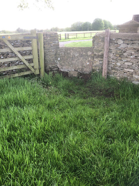
Culkerton Images
Images are sourced within 2km of 51.661879/-2.104787 or Grid Reference ST9295. Thanks to Geograph Open Source API. All images are credited.
Culkerton is located at Grid Ref: ST9295 (Lat: 51.661879, Lng: -2.104787)
Administrative County: Gloucestershire
District: Cotswold
Police Authority: Gloucestershire
What 3 Words
///bloomers.sulk.prance. Near Tetbury, Gloucestershire
Nearby Locations
Related Wikis

Church's Hill Halt railway station
Church's Hill Halt railway station served the village of Ashley, Gloucestershire, England, from 1959 to 1964 on the Tetbury Branch Line. == History... ==

Culkerton Halt railway station
Culkerton Halt railway station served the hamlet of Culkerton, Gloucestershire, England, from 1889 to 1964 on the Tetbury Branch Line. == History == The...

Trull House
Trull House is a Grade II listed country house near the hamlet of Trull, to the north of the village of Ashley and about 3.4 miles (5.5 km) northeast of...

Church of St James, Ashley
The Anglican Church of St James at Ashley in the Cotswold District of Gloucestershire, England was built in the Norman period and rebuilt around 1200....

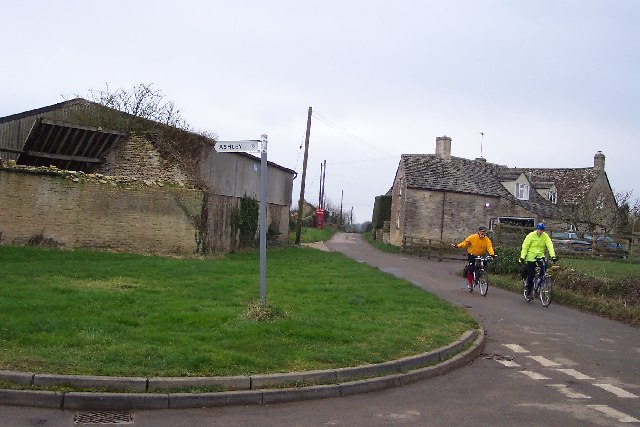
Ashley, Gloucestershire
Ashley is a village and civil parish in the Cotswold district of Gloucestershire, England, about 8 miles south-west of Cirencester. According to the 2001...
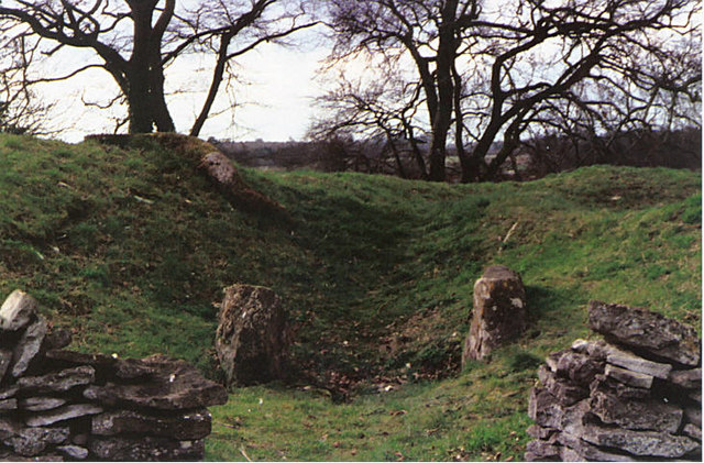
Windmill Tump
Windmill Tump, also known as Rodmarton Chambered Tomb, is a Neolithic burial site, a stone tumulus or barrow. It is a mound covering the site of graves...

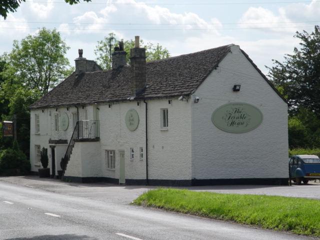
Trouble House Halt railway station
Trouble House Halt was a small station on the Tetbury branch line between Kemble and Tetbury between 1959 and 1964, when the line closed as part of the...
Rodmarton Platform railway station
Rodmarton Platform was a railway station serving the village of Rodmarton on the Tetbury branch line between Cirencester and Tetbury in Gloucestershire...
Nearby Amenities
Located within 500m of 51.661879,-2.104787Have you been to Culkerton?
Leave your review of Culkerton below (or comments, questions and feedback).