Ramsden Plantation

Wood, Forest in Lancashire

England

Ramsden Plantation

Rochdale Canal at Gauxholme View from Rochdale to Leeds railway
Rochdale Canal at Gauxholme Credit: Raymond Knapman

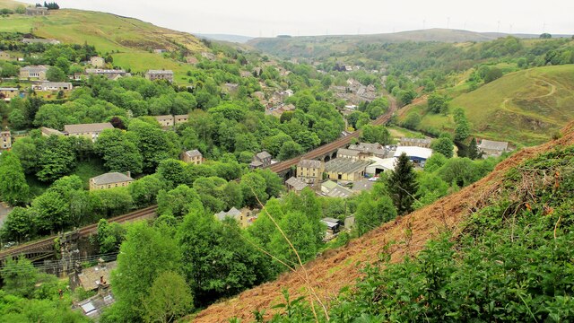
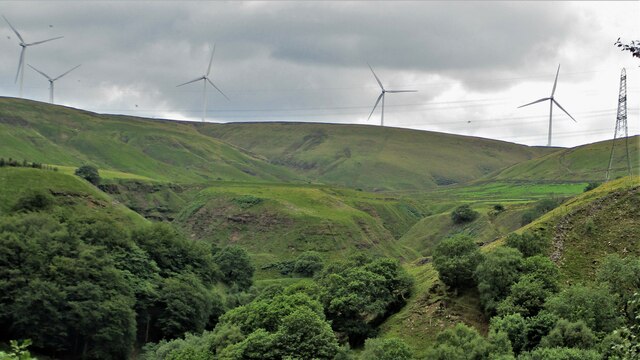
Ramsden Plantation is a vast woodland area located in the county of Lancashire, England. Situated on the outskirts of the town of Ramsden, this plantation covers an expansive area of approximately 500 acres. It is a popular destination for nature enthusiasts and outdoor enthusiasts alike, offering a tranquil escape from the nearby urban areas.

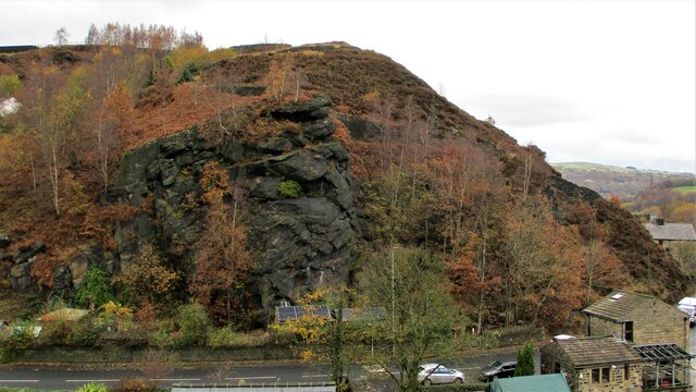
The plantation is characterized by its dense and diverse forest, comprising mainly of towering oak and beech trees, interspersed with smaller species such as birch and holly. The woodland floor is adorned with a rich variety of flora, including bluebells, primroses, and wood anemones, creating a vibrant and colorful landscape during the spring months.

The plantation is home to a wide range of wildlife, making it a haven for nature lovers. Visitors may catch a glimpse of roe deer, foxes, and badgers roaming freely in their natural habitat. The skies above are often filled with the melodious songs of various bird species, including woodpeckers, owls, and thrushes.

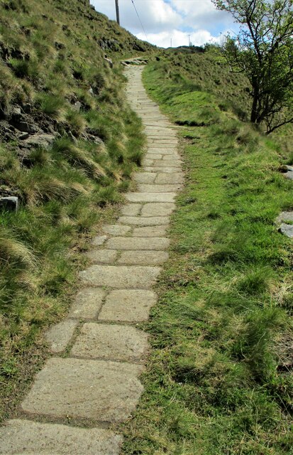
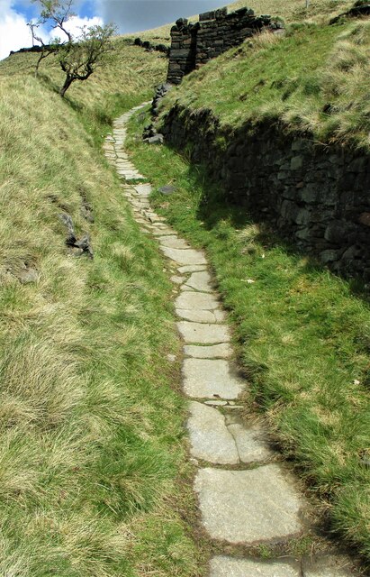
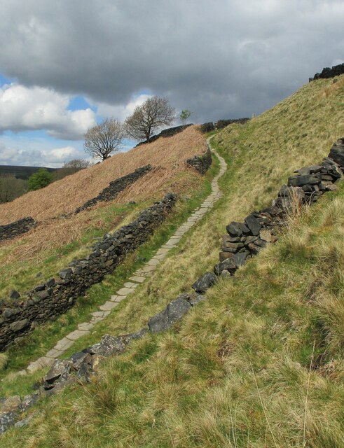
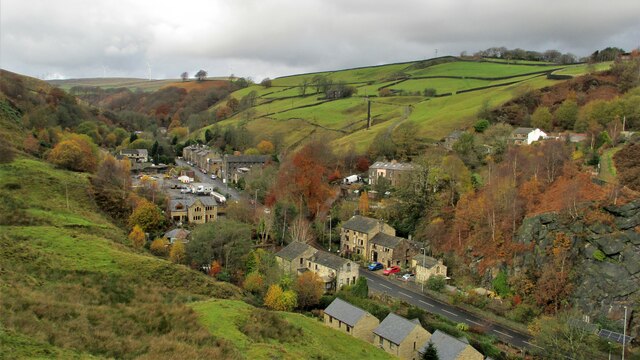
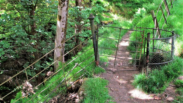
Several well-maintained walking trails crisscross the plantation, providing visitors with an opportunity to explore its beauty at their leisure. These paths are suitable for all ages and fitness levels, ranging from gentle strolls to more challenging hikes. The plantation also offers picnic areas and benches, allowing visitors to relax and enjoy the serene surroundings.

Ramsden Plantation is a haven of natural beauty and tranquility, offering a welcome respite from the hustle and bustle of everyday life. Whether one is seeking a peaceful walk in the woods or a chance to observe wildlife in its natural habitat, this woodland destination in Lancashire provides an idyllic setting for all nature lovers.

If you have any feedback on the listing, please let us know in the comments section below.

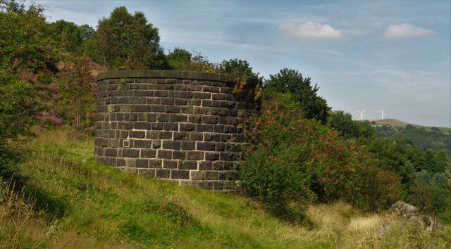
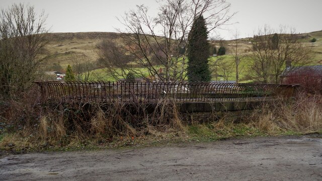
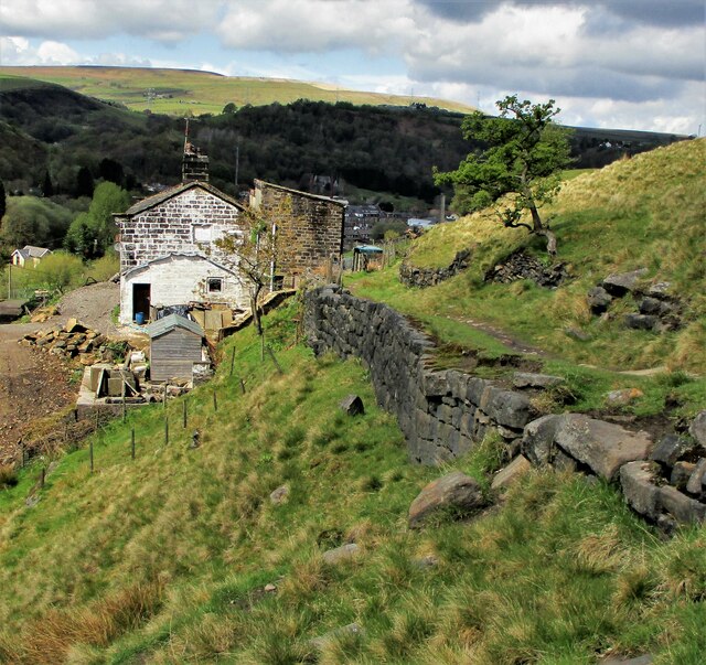
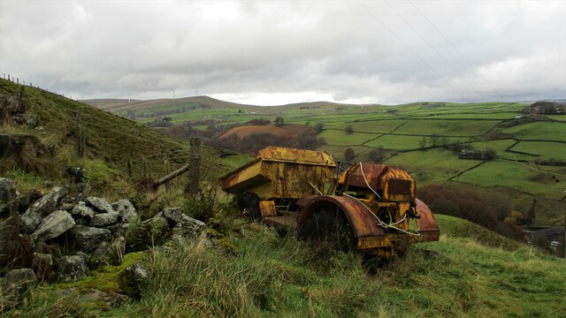
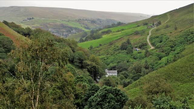
Ramsden Plantation Images

Images are sourced within 2km of 53.689731/-2.1165015 or Grid Reference SD9221. Thanks to Geograph Open Source API. All images are credited.

Rochdale Canal at Gauxholme View from Rochdale to Leeds railway
Rochdale Canal at Gauxholme
View from Rochdale to Leeds railway
Summit Railway Tunnel Air Shaft No.12 Shaft South East of Rough Stones
Summit Railway Tunnel Air Shaft No.12
Shaft South East of Rough Stones
Summit Railway Tunnel Air Shaft, Bottomley Large Oval Shaft off Bottomley Road
Summit Railway Tunnel Air Shaft, Bottomley
Large Oval Shaft off Bottomley Road
Causey Stones on Packhorse Track The climb up after Dean Royd Farm towards Bottomley
Causey Stones on Packhorse Track
The climb up after Dean Royd Farm towards Bottomley
Packhorse Track behind Dean Royd Farm The track at this point has a substantial embankment
Packhorse Track behind Dean Royd Farm
The track at this point has a substantial embankment
Causey Stones on Packhorse Track The climb up after Dean Royd Farm to Hollingworth Gate
Causey Stones on Packhorse Track
The climb up after Dean Royd Farm to Hollingworth Gate
Causey Stones on Packhorse Track Final climb of track before flatter section to Hollingworth Gate
Causey Stones on Packhorse Track
Final climb of track before flatter section to Hollingworth Gate
Lower Knowl A work in progress
Lower Knowl
A work in progress
Lower Knowl A farmhouse hopefully work in progress
Lower Knowl
A farmhouse hopefully work in progress
Gauxholme Railway Viaduct View South over Shade & Gauxholme from Dobroyd Road
Gauxholme Railway Viaduct
View South over Shade & Gauxholme from Dobroyd Road
Friths Mill Chimney View from Stones over the isolated chimney with Naze Road snaking up the other side of the valley
Friths Mill Chimney
View from Stones over the isolated chimney with Naze Road snaking up the other side of the valley
White Slack Clough View from Strines Lane to the very steep sided Cloughs South of Ramsden Clough. White Slack Clough is the one on the left, the other is unnamed
White Slack Clough
View from Strines Lane to the very steep sided Cloughs South of Ramsden Clough. White Slack Clough is the one on the left, the other is unnamed
Crag at Gauxholme View from Naze Road across the valley to the crag against Bacup Road
Crag at Gauxholme
View from Naze Road across the valley to the crag against Bacup Road
Friths Mill Chimney View from Naze Road to the isolated chimney. Bacup Road runs up the valley
Friths Mill Chimney
View from Naze Road to the isolated chimney. Bacup Road runs up the valley
Naze Farm Remains Remains on North side of Naze Road
Naze Farm Remains
Remains on North side of Naze Road
Abandoned Dumper at Naze Farm The dumper's demise must be at a later date than the farm's demise. The valley of Dulesgate Water is beyond the dumper
Abandoned Dumper at Naze Farm
The dumper's demise must be at a later date than the farm's demise. The valley of Dulesgate Water is beyond the dumper
Valley of Dulesgate Water View South East from the high level path in Gorpley Clough. The white building is Fern Cottage & Factory and the track climbs up past Dean Farm on to Inchfield Pasture.
Valley of Dulesgate Water
View South East from the high level path in Gorpley Clough. The white building is Fern Cottage & Factory and the track climbs up past Dean Farm on to Inchfield Pasture.
Kissing Gate to enter Stones Wood This style of iron work pillar is found at numerous stiles and fencing around this area of Stones & Dobroyd Castle.
Kissing Gate to enter Stones Wood
This style of iron work pillar is found at numerous stiles and fencing around this area of Stones & Dobroyd Castle.
Show me another place!

Ramsden Plantation is located at Grid Ref: SD9221 (Lat: 53.689731, Lng: -2.1165015)

Unitary Authority: Calderdale

Police Authority: West Yorkshire

What 3 Words

///tweed.falls.rectangular. Near Walsden, West Yorkshire

Related Wikis

Walsden railway station

Walsden railway station (; WOLZ-dən) serves the village of Walsden, Todmorden in West Yorkshire, England, on the edge of the Pennines. It is served by...

Walsden

Walsden (; WOLZ-dən) is a large village in the civil parish of Todmorden in the Metropolitan Borough of Calderdale, West Yorkshire, England. It was historically...

Summit Tunnel

Summit Tunnel in England is one of the world's oldest railway tunnels. It was constructed between 1838 and 1841 by the Manchester and Leeds Railway Company...

Dobroyd Castle

Dobroyd Castle is an important historic building above the town of Todmorden, West Yorkshire, England. It was built for John Fielden, local mill owner...

Summit Tunnel fire

The Summit Tunnel fire occurred on 20 December 1984, when a dangerous goods train caught fire while passing through the Summit Tunnel on the railway line...

Todmorden Unitarian Church

Todmorden Unitarian Church is a Unitarian church located in Honey Hole Road, Todmorden, West Yorkshire, England (grid reference SD935239). Built in honour...

Todmorden railway station

Todmorden railway station serves the town of Todmorden in West Yorkshire, England, originally on the Yorkshire and Lancashire border. It was built by the...

Todmorden

Todmorden ( TOD-mər-dən; locally ) is a market town and civil parish in the Upper Calder Valley in Calderdale, West Yorkshire, England. It is 17 miles...

Nearby Amenities

Located within 500m of 53.689731,-2.1165015
Design: barrel
Power: tower
Lat/Long: 53.6852554/-2.1171109
Design: barrel
Power: tower
Lat/Long: 53.6861745/-2.1199522
Ford: yes
Lat/Long: 53.6897669/-2.1162195
Ford: yes
Lat/Long: 53.690469/-2.1196928
Barrier: stile
Material: wood
Stile: stepover
Lat/Long: 53.6938529/-2.1148674
Information: board
Tourism: information
Lat/Long: 53.6941075/-2.1156129
Rest Area
Lat/Long: 53.6881201/-2.1109934
The data included in this document is from www.openstreetmap.org. The data is made available under ODbL.

Have you been to Ramsden Plantation?

Leave your review of Ramsden Plantation below (or comments, questions and feedback).