Ramsden Wood
Wood, Forest in Lancashire
England
Ramsden Wood
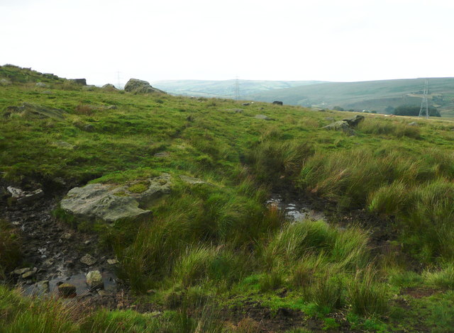
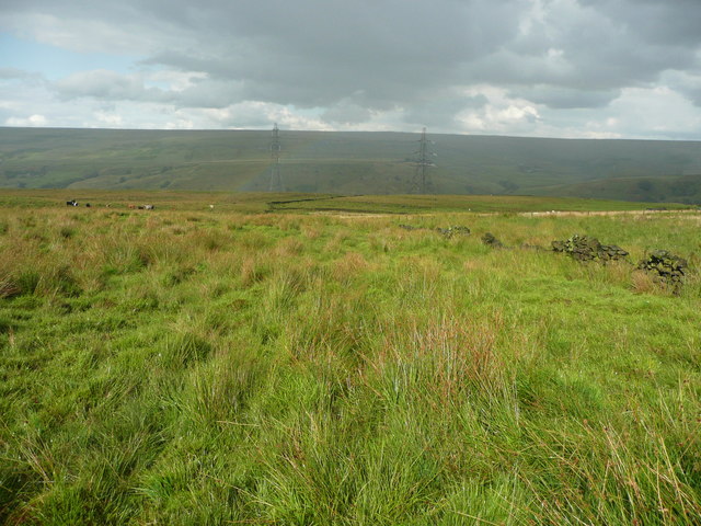
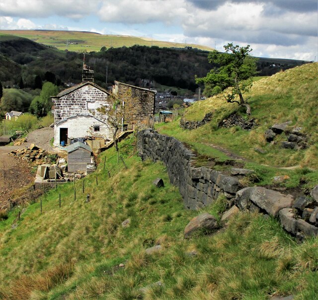
Ramsden Wood is a beautiful forest located in Lancashire, England. Covering an area of approximately 50 acres, it is a popular destination for nature lovers and outdoor enthusiasts. The wood is nestled in the picturesque Rossendale Valley, surrounded by rolling hills and stunning countryside.
This ancient woodland is home to a diverse range of flora and fauna, with a mixture of broadleaf and coniferous trees creating a rich and varied habitat. Visitors can expect to see majestic oak, beech, and birch trees, as well as spruce and pine. The forest floor is adorned with a carpet of bluebells in the spring, creating a stunning display of color.
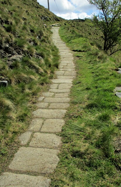
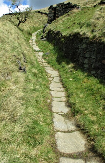
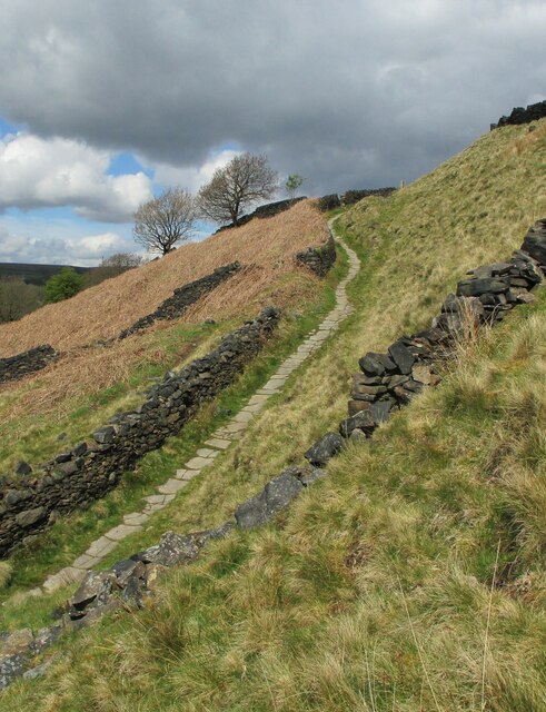
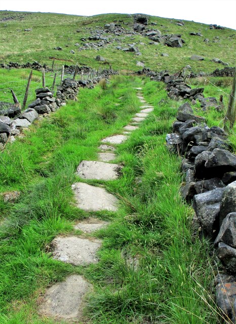
Ramsden Wood is crisscrossed by a network of well-maintained footpaths and trails, making it an ideal location for walking, hiking, and cycling. The trails wind through the forest, offering visitors the opportunity to explore its hidden corners and experience the tranquility of nature. Along the way, there are picnic areas and benches where visitors can take a break and enjoy a packed lunch amidst the peaceful surroundings.
The wood is also home to a variety of wildlife, including deer, foxes, badgers, and a wide range of bird species. Birdwatchers will delight in the chance to spot woodpeckers, owls, and various songbirds in their natural habitat.
Ramsden Wood is a true gem in Lancashire, offering a peaceful and enchanting escape from the hustle and bustle of everyday life. Whether it's a leisurely stroll among the trees or a more adventurous hike, the wood provides a perfect opportunity to reconnect with nature.
If you have any feedback on the listing, please let us know in the comments section below.
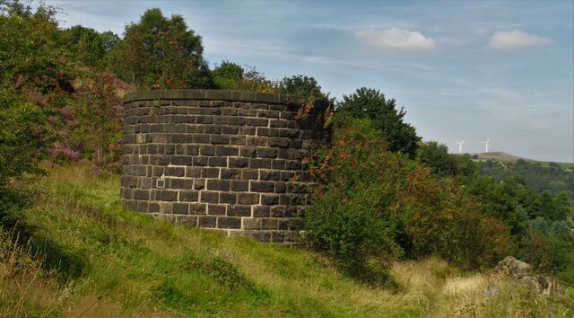
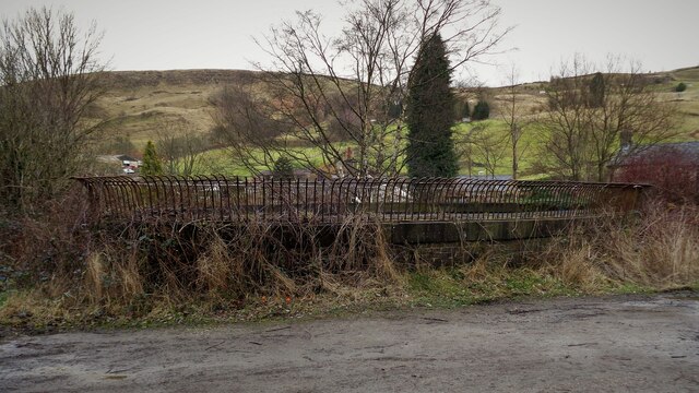
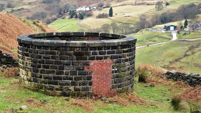
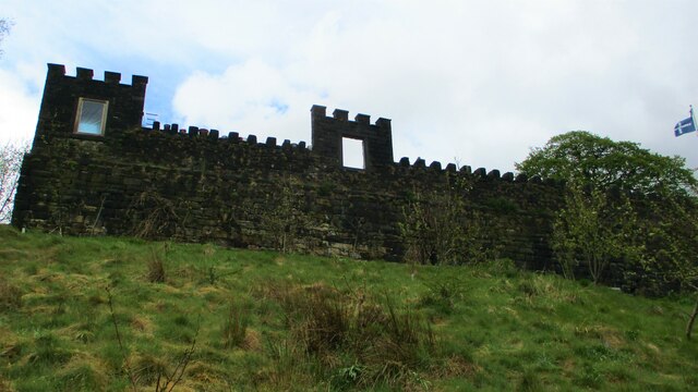
Ramsden Wood Images
Images are sourced within 2km of 53.689153/-2.1099129 or Grid Reference SD9221. Thanks to Geograph Open Source API. All images are credited.


Ramsden Wood is located at Grid Ref: SD9221 (Lat: 53.689153, Lng: -2.1099129)
Unitary Authority: Calderdale
Police Authority: West Yorkshire
What 3 Words
///clapper.dispose.risen. Near Walsden, West Yorkshire
Nearby Locations
Related Wikis

Walsden railway station
Walsden railway station (; WOLZ-dən) serves the village of Walsden, Todmorden in West Yorkshire, England, on the edge of the Pennines. It is served by...

Walsden
Walsden (; WOLZ-dən) is a large village in the civil parish of Todmorden in the Metropolitan Borough of Calderdale, West Yorkshire, England. It was historically...

Summit Tunnel
Summit Tunnel in England is one of the world's oldest railway tunnels. It was constructed between 1838 and 1841 by the Manchester and Leeds Railway Company...

Summit Tunnel fire
The Summit Tunnel fire occurred on 20 December 1984, when a dangerous goods train caught fire while passing through the Summit Tunnel on the railway line...

Dobroyd Castle
Dobroyd Castle is an important historic building above the town of Todmorden, West Yorkshire, England. It was built for John Fielden, local mill owner...

Todmorden Unitarian Church
Todmorden Unitarian Church is a Unitarian church located in Honey Hole Road, Todmorden, West Yorkshire, England (grid reference SD935239). Built in honour...

Todmorden
Todmorden ( TOD-mər-dən; locally ) is a market town and civil parish in the Upper Calder Valley in Calderdale, West Yorkshire, England. It is 17 miles...

Todmorden railway station
Todmorden railway station serves the town of Todmorden in West Yorkshire, England, originally on the Yorkshire and Lancashire border. It was built by the...
Nearby Amenities
Located within 500m of 53.689153,-2.1099129Have you been to Ramsden Wood?
Leave your review of Ramsden Wood below (or comments, questions and feedback).