Ramsden Clough

Valley in Lancashire

England

Ramsden Clough

Rochdale Canal at Gauxholme View from Rochdale to Leeds railway
Rochdale Canal at Gauxholme Credit: Raymond Knapman

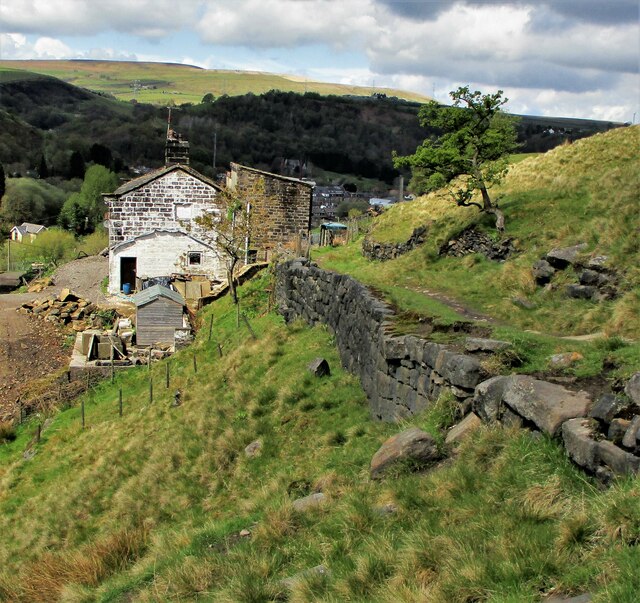
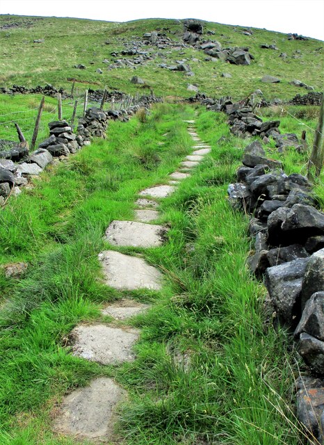
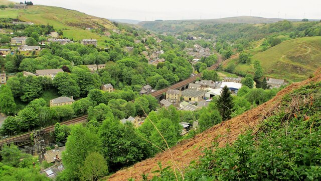
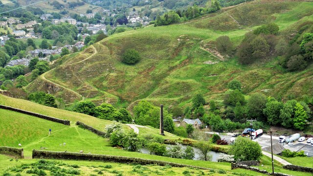
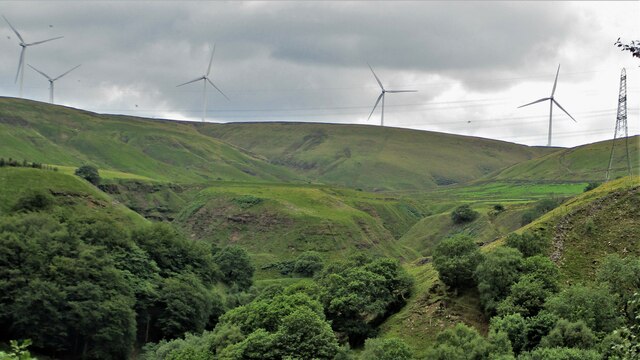
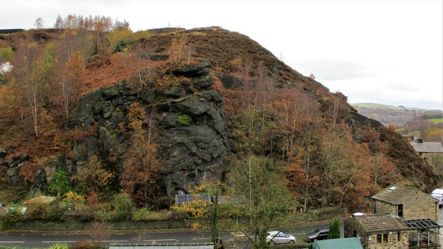
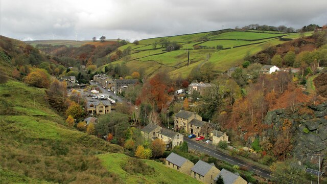
Ramsden Clough is a picturesque valley located in Lancashire, England. Nestled within the South Pennines, this stunning area is renowned for its natural beauty and tranquil atmosphere. The valley is situated near the town of Ramsbottom and is easily accessible from the surrounding areas.

The main feature of Ramsden Clough is the river that runs through it, known as the Ramsden Brook. This crystal-clear water source adds to the charm of the valley, providing a serene backdrop for visitors to enjoy. The brook is also popular with anglers, who come to try their luck at catching trout and other fish species.

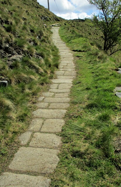
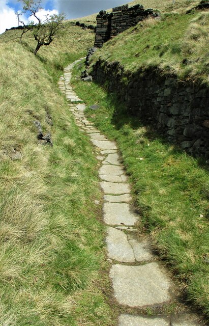
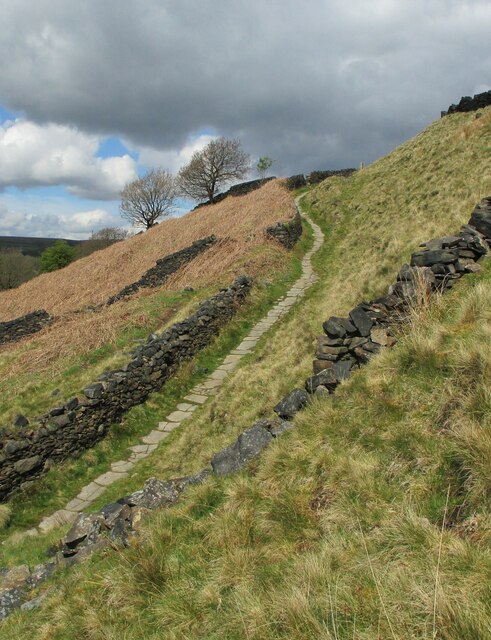
Surrounding the river are lush green fields and rolling hills, making Ramsden Clough a popular spot for hikers and nature enthusiasts. There are several walking trails that meander through the valley, offering breathtaking views of the surrounding countryside. The trails range in difficulty, catering to both casual walkers and more experienced hikers.

In addition to its natural beauty, Ramsden Clough is home to a diverse range of wildlife. The valley provides a habitat for various bird species, including kingfishers and herons, as well as small mammals like rabbits and squirrels. It is not uncommon to spot deer grazing in the fields or hear the gentle chirping of birds as you explore the area.

Overall, Ramsden Clough is a hidden gem in Lancashire, offering visitors a peaceful retreat from the hustle and bustle of daily life. Whether you're looking for a leisurely walk or simply want to soak in the beauty of nature, this valley is sure to leave a lasting impression.

If you have any feedback on the listing, please let us know in the comments section below.

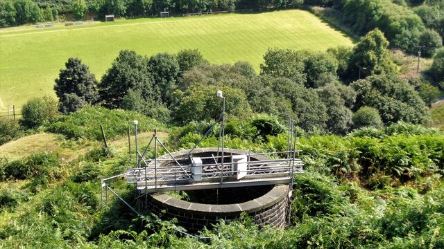
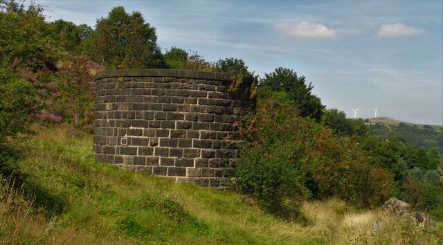
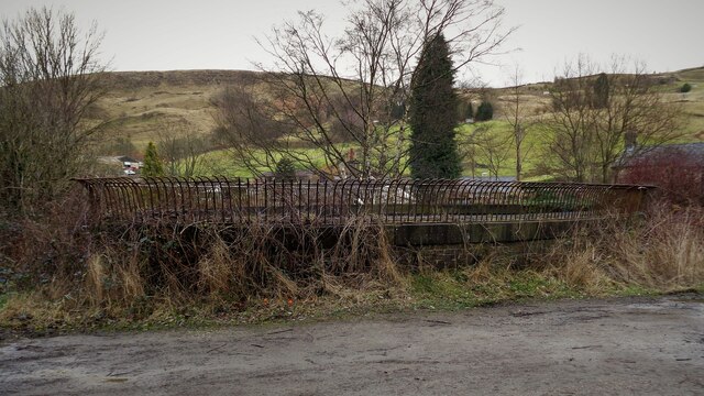
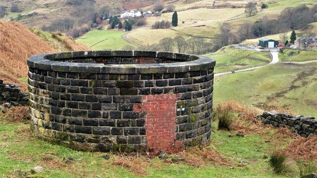
Ramsden Clough Images

Images are sourced within 2km of 53.689265/-2.1147285 or Grid Reference SD9221. Thanks to Geograph Open Source API. All images are credited.

Rochdale Canal at Gauxholme View from Rochdale to Leeds railway
Rochdale Canal at Gauxholme
View from Rochdale to Leeds railway
Summit Railway Tunnel Air Shaft No.11 Shaft above Bellholme Sports Ground
Summit Railway Tunnel Air Shaft No.11
Shaft above Bellholme Sports Ground
Summit Railway Tunnel Air Shaft No.12 Shaft South East of Rough Stones
Summit Railway Tunnel Air Shaft No.12
Shaft South East of Rough Stones
Summit Railway Tunnel Air Shaft, Bottomley Large Oval Shaft off Bottomley Road
Summit Railway Tunnel Air Shaft, Bottomley
Large Oval Shaft off Bottomley Road
Summit Railway Tunnel Air Shaft No.11 The Shaft with the monitoring equipment removed
Summit Railway Tunnel Air Shaft No.11
The Shaft with the monitoring equipment removed
Causey Stones on Packhorse Track The climb up after Dean Royd Farm towards Bottomley
Causey Stones on Packhorse Track
The climb up after Dean Royd Farm towards Bottomley
Packhorse Track behind Dean Royd Farm The track at this point has a substantial embankment
Packhorse Track behind Dean Royd Farm
The track at this point has a substantial embankment
Causey Stones on Packhorse Track The climb up after Dean Royd Farm to Hollingworth Gate
Causey Stones on Packhorse Track
The climb up after Dean Royd Farm to Hollingworth Gate
Causey Stones on Packhorse Track Final climb of track before flatter section to Hollingworth Gate
Causey Stones on Packhorse Track
Final climb of track before flatter section to Hollingworth Gate
Lower Knowl A work in progress
Lower Knowl
A work in progress
Lower Knowl A farmhouse hopefully work in progress
Lower Knowl
A farmhouse hopefully work in progress
Causey Stones up Moor Lane Track south of Top O Th Rough towards Rake End
Causey Stones up Moor Lane
Track south of Top O Th Rough towards Rake End
Gauxholme Railway Viaduct View South over Shade & Gauxholme from Dobroyd Road
Gauxholme Railway Viaduct
View South over Shade & Gauxholme from Dobroyd Road
Friths Mill Chimney View from Stones over the isolated chimney with Naze Road snaking up the other side of the valley
Friths Mill Chimney
View from Stones over the isolated chimney with Naze Road snaking up the other side of the valley
White Slack Clough View from Strines Lane to the very steep sided Cloughs South of Ramsden Clough. White Slack Clough is the one on the left, the other is unnamed
White Slack Clough
View from Strines Lane to the very steep sided Cloughs South of Ramsden Clough. White Slack Clough is the one on the left, the other is unnamed
Crag at Gauxholme View from Naze Road across the valley to the crag against Bacup Road
Crag at Gauxholme
View from Naze Road across the valley to the crag against Bacup Road
Friths Mill Chimney View from Naze Road to the isolated chimney. Bacup Road runs up the valley
Friths Mill Chimney
View from Naze Road to the isolated chimney. Bacup Road runs up the valley
Naze Farm Remains Remains on North side of Naze Road
Naze Farm Remains
Remains on North side of Naze Road
Show me another place!

Ramsden Clough is located at Grid Ref: SD9221 (Lat: 53.689265, Lng: -2.1147285)

Unitary Authority: Calderdale

Police Authority: West Yorkshire

What 3 Words

///symphonic.streamers.changes. Near Walsden, West Yorkshire

Related Wikis

Walsden railway station

Walsden railway station (; WOLZ-dən) serves the village of Walsden, Todmorden in West Yorkshire, England, on the edge of the Pennines. It is served by...

Walsden

Walsden (; WOLZ-dən) is a large village in the civil parish of Todmorden in the Metropolitan Borough of Calderdale, West Yorkshire, England. It was historically...

Summit Tunnel

Summit Tunnel in England is one of the world's oldest railway tunnels. It was constructed between 1838 and 1841 by the Manchester and Leeds Railway Company...

Summit Tunnel fire

The Summit Tunnel fire occurred on 20 December 1984, when a dangerous goods train caught fire while passing through the Summit Tunnel on the railway line...

Nearby Amenities

Located within 500m of 53.689265,-2.1147285
Design: barrel
Power: tower
Lat/Long: 53.6852554/-2.1171109
Design: barrel
Power: tower
Lat/Long: 53.6861745/-2.1199522
Ford: yes
Lat/Long: 53.6897669/-2.1162195
Ford: yes
Lat/Long: 53.690469/-2.1196928
Rest Area
Lat/Long: 53.6881201/-2.1109934
The data included in this document is from www.openstreetmap.org. The data is made available under ODbL.

Have you been to Ramsden Clough?

Leave your review of Ramsden Clough below (or comments, questions and feedback).