Square Clump

Wood, Forest in Dorset

England

Square Clump

Church in Winterborne Zelston
Church in Winterborne Zelston Credit: Owen lovell

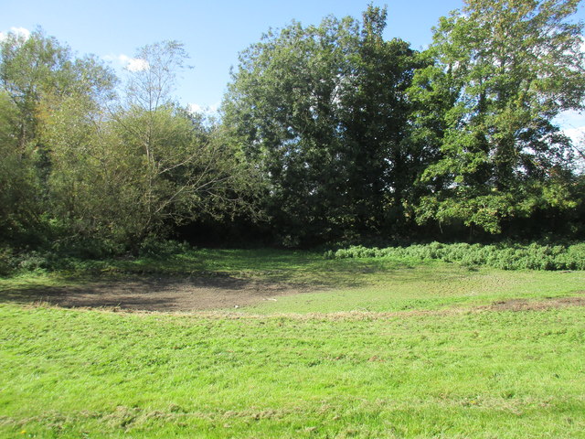
Square Clump is a small woodland area located in Dorset, England. Nestled within the picturesque countryside, it is a popular destination for nature enthusiasts and outdoor enthusiasts alike. With its diverse ecosystem and tranquil surroundings, Square Clump offers visitors a chance to escape the hustle and bustle of daily life and immerse themselves in the beauty of nature.

Covering an area of approximately 10 acres, Square Clump is characterized by its dense and well-preserved forest. The woodland is primarily composed of various species of deciduous trees, including oak, beech, and ash. These towering trees create a canopy that provides shade and shelter for a variety of wildlife.

The forest floor of Square Clump is adorned with an array of native flora, such as bluebells, primroses, and ferns, which add to the enchanting atmosphere of the woodland. The diverse vegetation also attracts a wide range of fauna, including deer, squirrels, and a variety of bird species, making it a haven for wildlife enthusiasts and birdwatchers.

Square Clump boasts a network of well-maintained walking trails, allowing visitors to explore the woodland at their own pace. The trails meander through the forest, providing glimpses of picturesque landscapes and offering opportunities for peaceful contemplation.

In addition to its natural beauty, Square Clump also holds historical significance. The woodland is believed to have been used by locals for centuries as a source of timber and firewood, reflecting the historical importance of woodlands in the area.

Overall, Square Clump is a tranquil and captivating woodland that offers visitors a chance to connect with nature and appreciate the beauty of the Dorset countryside.

If you have any feedback on the listing, please let us know in the comments section below.
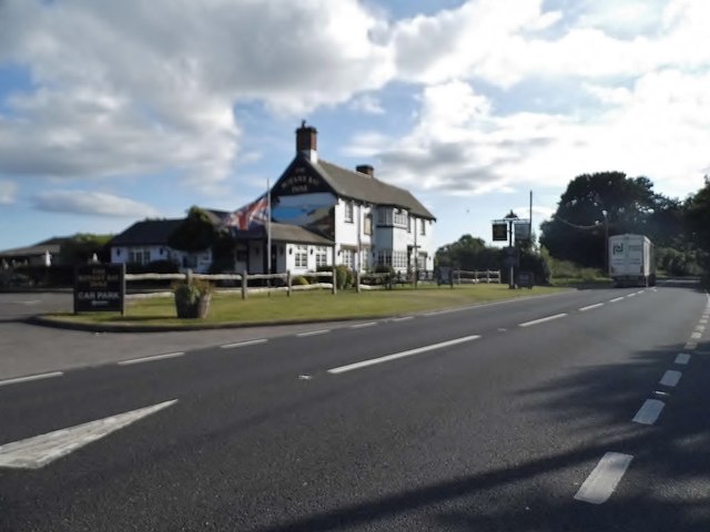
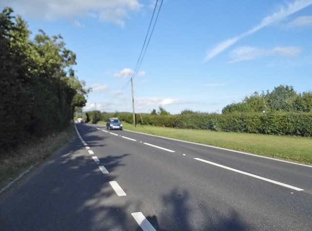
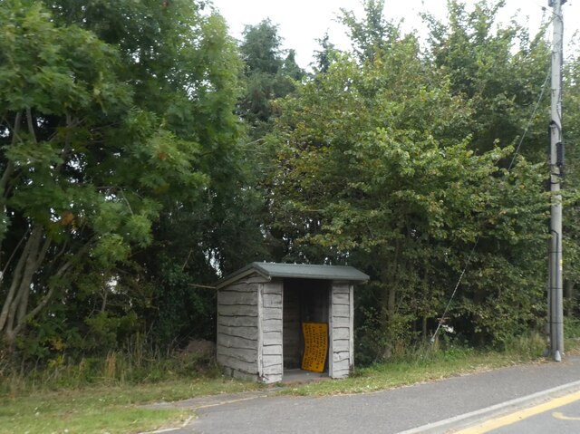
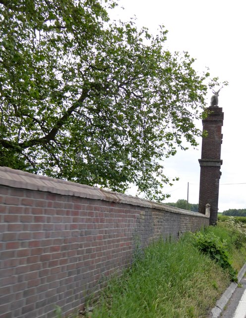
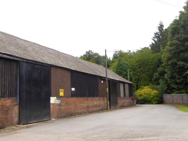
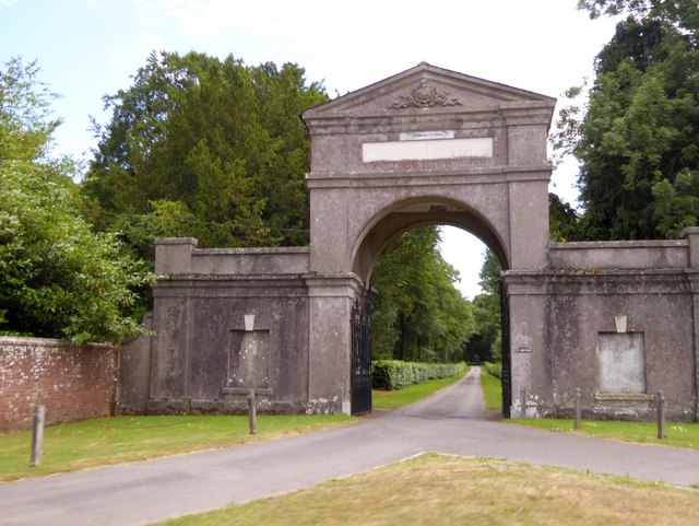
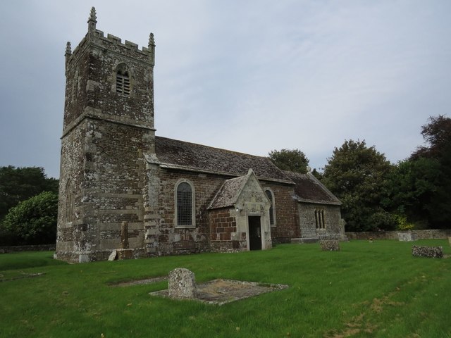
Square Clump Images

Images are sourced within 2km of 50.779105/-2.1188912 or Grid Reference SY9197. Thanks to Geograph Open Source API. All images are credited.

Church in Winterborne Zelston
St. Mary's church, Winterborne Zelston
The River Winterborne At the end of summer living up to its name. No sign of any water.
The River Winterborne
At the end of summer living up to its name. No sign of any water.
Track on the edge of Winterborne Zelston
Dried up bed of the River Winterborne The River Winterborne is true to its name and dries up in the summer.
Dried up bed of the River Winterborne
The River Winterborne is true to its name and dries up in the summer.
Brookside and Pond Cottage Typical of this area <span class="nowrap"><a title="http://www.britishlistedbuildings.co.uk/en-103608-brookside-and-pond-cottage-winterborne-z#.VhUzz2vocnA" rel="nofollow ugc noopener" href="http://www.britishlistedbuildings.co.uk/en-103608-brookside-and-pond-cottage-winterborne-z#.VhUzz2vocnA">Link</a><img style="margin-left:2px;" alt="External link" title="External link - shift click to open in new window" src="https://s1.geograph.org.uk/img/external.png" width="10" height="10"/></span>
Brookside and Pond Cottage
Typical of this area LinkExternal link
Ancient cross in Winterborne Zelston
Winterborne Zelston, Botany Bay Inne Hall & Woodhouse public house on A31; middle bar to right, eating and drinking areas left, front, back, right. Cask ales on offer at my visit: Badger Fursty Ferret, Hopping Hare.
Winterborne Zelston, Botany Bay Inne
Hall & Woodhouse public house on A31; middle bar to right, eating and drinking areas left, front, back, right. Cask ales on offer at my visit: Badger Fursty Ferret, Hopping Hare.
The Botany Bay Inne, Winterborne Zelston All the Winterbourne villages are along the river of the same name.
The Botany Bay Inne, Winterborne Zelston
All the Winterbourne villages are along the river of the same name.
The A31, Winterbourne Zelston
Bus shelter by A31 at Winterborne Zelston The A31 is a 87 mile long trunk road from Guildford to Bere Regis. It passes through or close to Farnham, Winchester and Ringwood.
<span class="nowrap"><a title="http://www.sabre-roads.org.uk/wiki/index.php?title=A31" rel="nofollow ugc noopener" href="http://www.sabre-roads.org.uk/wiki/index.php?title=A31">Link</a><img style="margin-left:2px;" alt="External link" title="External link - shift click to open in new window" src="https://s1.geograph.org.uk/img/external.png" width="10" height="10"/></span> 
Wikipedia: <span class="nowrap"><a title="http://en.wikipedia.org/wiki/A31_road" rel="nofollow ugc noopener" href="http://en.wikipedia.org/wiki/A31_road">Link</a><img style="margin-left:2px;" alt="External link" title="External link - shift click to open in new window" src="https://s1.geograph.org.uk/img/external.png" width="10" height="10"/></span>
Bus shelter by A31 at Winterborne Zelston
The A31 is a 87 mile long trunk road from Guildford to Bere Regis. It passes through or close to Farnham, Winchester and Ringwood. LinkExternal link Wikipedia: LinkExternal link
Drax wall and Stag Gate, Charborough Park Part of the long wall around the deer park, and a rear view of the stag on the top of the gateway
Drax wall and Stag Gate, Charborough Park
Part of the long wall around the deer park, and a rear view of the stag on the top of the gateway
Farm buildings at East Almer Farm
Main entrance to Charborough Park at Almer
St Mary's Church, Almer
Benchmark on St Mary's Church, Almer Ordnance Survey benchmark, described on database at <span class="nowrap"><a title="http://www.bench-marks.org.uk/bm53454" rel="nofollow ugc noopener" href="http://www.bench-marks.org.uk/bm53454">Link</a><img style="margin-left:2px;" alt="External link" title="External link - shift click to open in new window" src="https://s1.geograph.org.uk/img/external.png" width="10" height="10"/></span>. See also <a href="https://www.geograph.org.uk/photo/5129860">SY9198 : St Mary's Church, Almer</a>.
Benchmark on St Mary's Church, Almer
Ordnance Survey benchmark, described on database at LinkExternal link. See also SY9198 : St Mary's Church, Almer.
Stag Gate, Charborough Park Here is the Charborough Park website summary <span class="nowrap"><a title="http://www.waymarking.com/waymarks/WM9XB5_The_Stag_on_The_Stag_Gate_Charborough_Park_Dorset_UK" rel="nofollow ugc noopener" href="http://www.waymarking.com/waymarks/WM9XB5_The_Stag_on_The_Stag_Gate_Charborough_Park_Dorset_UK">Link</a><img style="margin-left:2px;" alt="External link" title="External link - shift click to open in new window" src="https://s1.geograph.org.uk/img/external.png" width="10" height="10"/></span>
Stag Gate, Charborough Park
Here is the Charborough Park website summary LinkExternal link
Stag Gate, Charborough Park
Show me another place!

Square Clump is located at Grid Ref: SY9197 (Lat: 50.779105, Lng: -2.1188912)

Unitary Authority: Dorset

Police Authority: Dorset

What 3 Words

///blinking.headlight.toys. Near Lytchett Matravers, Dorset

Related Wikis

Almer

Almer is a village and former civil parish, now in the parish of Sturminster Marshall, in the Dorset district, in the ceremonial county of Dorset, England...
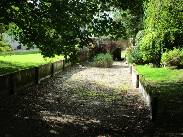
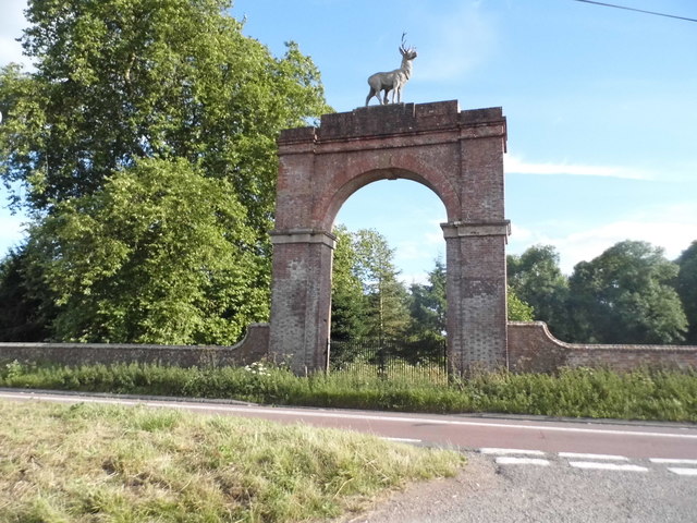
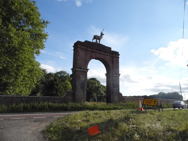
Charborough House

Charborough House, also known as Charborough Park, is a Grade I listed building, the manor house of the ancient manor of Charborough. The house is between...

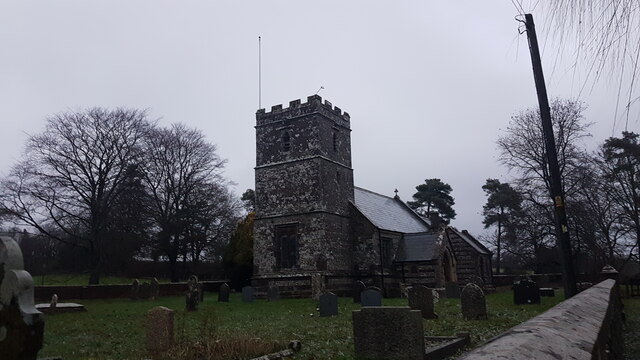
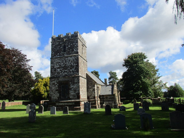
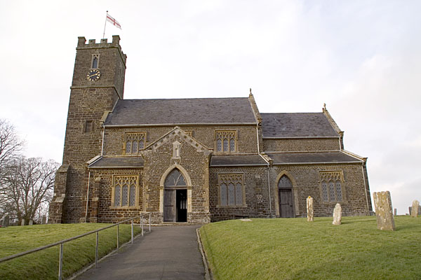
Church of St Mary, Almer, Dorset

Church of Mary is a Grade I listed church in Almer, Dorset, England. It became a listed building on 18 March 1955. According to Arthur Mee's The King...

Winterborne Zelston

Winterborne Zelston is a village and civil parish in north Dorset, England. It is situated in a winterbourne valley on the A31 road eight miles (thirteen...

Rushmore Hundred

Rushmore Hundred was a hundred in the county of Dorset, England, containing the parish of Winterborne Zelston == See also == List of hundreds in Dorset...

St Mary the Virgin, Lytchett Matravers

St Mary the Virgin is the Church of England parish church of Lytchett Matravers in Dorset. Its parish is part of the Diocese of Salisbury. The building...

Morden, Dorset

Morden (otherwise Moreden) is a civil parish in the Purbeck district of south Dorset, England. Morden is about 6 miles (10 km) north-west of Poole. At...

Loosebarrow Hundred

Loosebarrow Hundred was a hundred in the county of Dorset, England, containing the following parishes: Almer Morden Spetisbury == See also == List of...

Nearby Amenities

Located within 500m of 50.779105,-2.1188912
The data included in this document is from www.openstreetmap.org. The data is made available under ODbL.

Have you been to Square Clump?

Leave your review of Square Clump below (or comments, questions and feedback).