Miller's Corner Plantation

Wood, Forest in Dorset

England

Miller's Corner Plantation

Church in Winterborne Zelston
Church in Winterborne Zelston Credit: Owen lovell

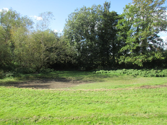
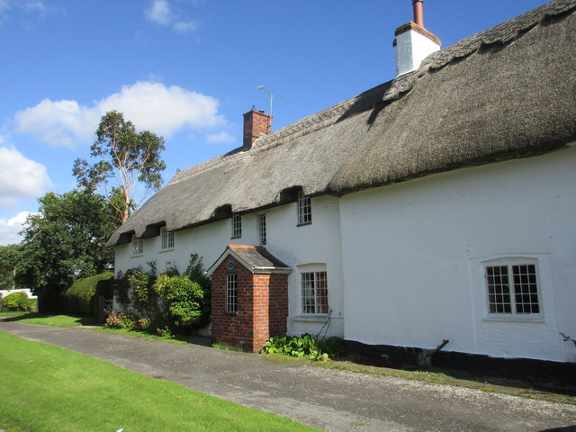
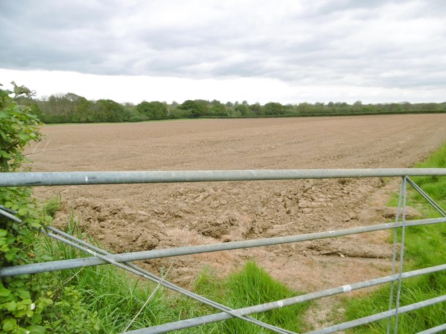
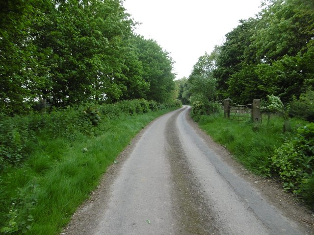
Miller's Corner Plantation is a picturesque woodland located in the heart of Dorset, England. Spread over an area of approximately 100 acres, it is known for its stunning natural beauty and diverse flora and fauna. The plantation is situated on the outskirts of a small village, surrounded by rolling hills and scenic countryside.

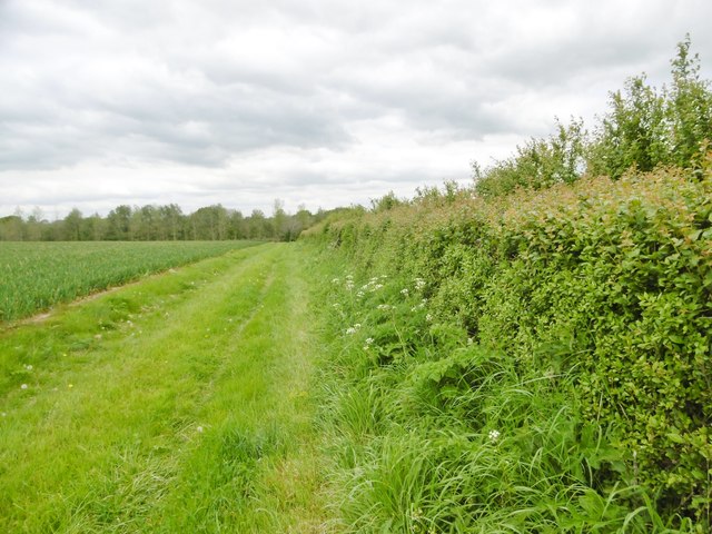
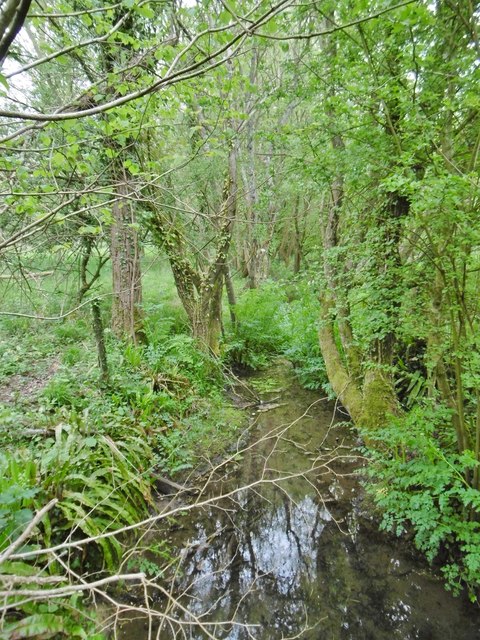
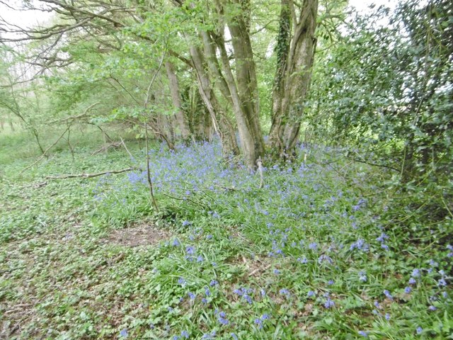
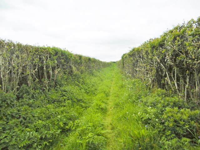
The woodland is predominantly composed of native deciduous trees such as beech, oak, and ash, creating a vibrant and colorful landscape throughout the year. The dense canopy provides a habitat for a wide range of wildlife, including various bird species, small mammals, and insects.

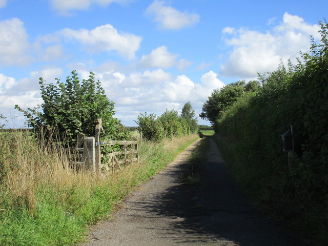
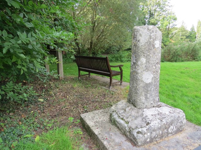
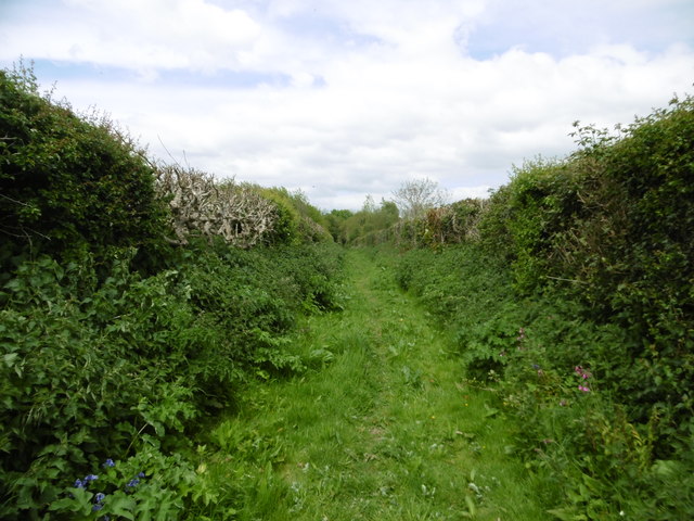
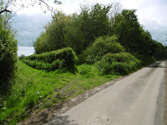
Miller's Corner Plantation is a popular destination for nature enthusiasts and outdoor enthusiasts alike. It offers numerous walking trails, allowing visitors to explore the woodland and enjoy the tranquility of the surroundings. The well-maintained paths wind through the plantation, offering glimpses of babbling brooks, wildflowers, and ancient trees.

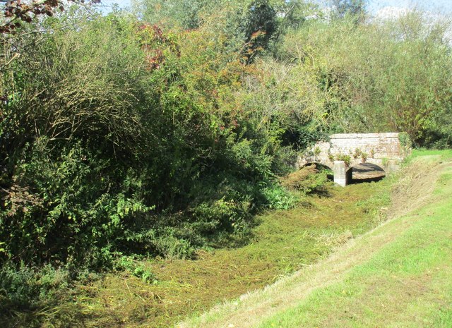
The plantation also has a rich history, with remnants of an old mill that once operated in the area. These historical features add an element of intrigue and charm to the woodland, attracting history enthusiasts and curious explorers.

Miller's Corner Plantation is easily accessible, with a designated parking area and nearby public transportation options. It is a perfect spot for a peaceful retreat, a family outing, or simply a place to reconnect with nature. Whether it's a leisurely stroll, birdwatching, or photography, this woodland offers a delightful experience for all who visit.

If you have any feedback on the listing, please let us know in the comments section below.

Miller's Corner Plantation Images

Images are sourced within 2km of 50.778019/-2.1255829 or Grid Reference SY9197. Thanks to Geograph Open Source API. All images are credited.

Church in Winterborne Zelston
St. Mary's church, Winterborne Zelston
The River Winterborne At the end of summer living up to its name. No sign of any water.
The River Winterborne
At the end of summer living up to its name. No sign of any water.
Track on the edge of Winterborne Zelston
Dried up bed of the River Winterborne The River Winterborne is true to its name and dries up in the summer.
Dried up bed of the River Winterborne
The River Winterborne is true to its name and dries up in the summer.
Brookside and Pond Cottage Typical of this area <span class="nowrap"><a title="http://www.britishlistedbuildings.co.uk/en-103608-brookside-and-pond-cottage-winterborne-z#.VhUzz2vocnA" rel="nofollow ugc noopener" href="http://www.britishlistedbuildings.co.uk/en-103608-brookside-and-pond-cottage-winterborne-z#.VhUzz2vocnA">Link</a><img style="margin-left:2px;" alt="External link" title="External link - shift click to open in new window" src="https://s1.geograph.org.uk/img/external.png" width="10" height="10"/></span>
Brookside and Pond Cottage
Typical of this area LinkExternal link
Bridge over the dried-up River Winterborne
Ancient cross in Winterborne Zelston
Winterborne Zelston, hedge A field margin on the bridleway to the village.
Winterborne Zelston, hedge
A field margin on the bridleway to the village.
Winterborne Zelston, cereal field
Winterborne Zelston, ditch Draining former withy beds.
Winterborne Zelston, ditch
Draining former withy beds.
Winterborne Zelston, bluebells In woodland next to <a href="https://www.geograph.org.uk/photo/5377938">SY8996 : Winterborne Zelston, ditch</a>.
Winterborne Zelston, bluebells
Winterborne Zelston, bridleway Through farmland, to the village from West Morden.
Winterborne Zelston, bridleway
Through farmland, to the village from West Morden.
Winterborne Zelston, ploughland
Winterborne Zelston, bridleway Approaching the village from West Morden.
Winterborne Zelston, bridleway
Approaching the village from West Morden.
Winterborne Zelston, bridleway junction Left (behind the hedge), to West Morden; right, metalled road and bridleway to Rectory Farm.
Winterborne Zelston, bridleway junction
Left (behind the hedge), to West Morden; right, metalled road and bridleway to Rectory Farm.
Winterborne Zelston, Botany Bay Inne Hall & Woodhouse public house on A31; middle bar to right, eating and drinking areas left, front, back, right. Cask ales on offer at my visit: Badger Fursty Ferret, Hopping Hare.
Winterborne Zelston, Botany Bay Inne
Hall & Woodhouse public house on A31; middle bar to right, eating and drinking areas left, front, back, right. Cask ales on offer at my visit: Badger Fursty Ferret, Hopping Hare.
Winterborne Zelston, farm road Access road to Rectory Farm, and bridleway to Botany Bay Farm.
Winterborne Zelston, farm road
Access road to Rectory Farm, and bridleway to Botany Bay Farm.
Show me another place!

Miller's Corner Plantation is located at Grid Ref: SY9197 (Lat: 50.778019, Lng: -2.1255829)

Unitary Authority: Dorset

Police Authority: Dorset

What 3 Words

///blueberry.headline.doted. Near Lytchett Matravers, Dorset

Related Wikis

Almer

Almer is a village and former civil parish, now in the parish of Sturminster Marshall, in the Dorset district, in the ceremonial county of Dorset, England...

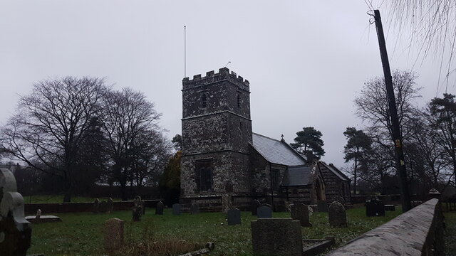
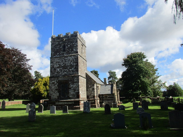
Church of St Mary, Almer, Dorset

Church of Mary is a Grade I listed church in Almer, Dorset, England. It became a listed building on 18 March 1955. According to Arthur Mee's The King...

Charborough House

Charborough House, also known as Charborough Park, is a Grade I listed building, the manor house of the ancient manor of Charborough. The house is between...

Winterborne Zelston

Winterborne Zelston is a village and civil parish in north Dorset, England. It is situated in a winterbourne valley on the A31 road eight miles (thirteen...

Nearby Amenities

Located within 500m of 50.778019,-2.1255829
Location Transition: yes
Material: wood
Power: pole
Source: survey
Lat/Long: 50.7742603/-2.1243688
Location Transition: yes
Material: wood
Power: pole
Source: bing
Transformer: distribution
Lat/Long: 50.7754169/-2.1249071
Material: wood
Power: pole
Source: bing
Lat/Long: 50.7762425/-2.1263519
Material: wood
Power: pole
Source: bing
Lat/Long: 50.7772253/-2.1280747
Material: wood
Power: pole
Source: bing
Lat/Long: 50.778058/-2.1295289
Material: wood
Power: pole
Source: bing
Lat/Long: 50.7786075/-2.1284529
Material: wood
Power: pole
Source: bing
Lat/Long: 50.7791591/-2.1302769
Material: wood
Power: pole
Source: bing
Transformer: distribution
Lat/Long: 50.7791713/-2.1273656
Material: wood
Power: pole
Source: bing
Transformer: distribution
Lat/Long: 50.7801321/-2.1309507
Colour: green
Man Made: street_cabinet
Operator: BT OpenReach
Ref: 2
Street Cabinet: telecom
Lat/Long: 50.7743954/-2.124797
Distribution Point: yes
Man Made: utility_pole
Material: wood
Operator: BT OpenReach
Ref: DP12
Source: survey
Utility: telecom
Lat/Long: 50.7744281/-2.1241781
Man Made: utility_pole
Material: wood
Operator: BT OpenReach
Ref: 1A
Source: survey
Utility: telecom
Lat/Long: 50.7743272/-2.12358
Man Made: utility_pole
Material: wood
Operator: BT OpenReach
Ref: 1B
Source: survey
Utility: telecom
Lat/Long: 50.7742865/-2.1232367
Man Made: utility_pole
Material: wood
Operator: BT OpenReach
Ref: 2A
Source: survey
Utility: telecom
Lat/Long: 50.7742487/-2.1229295
Man Made: utility_pole
Material: wood
Operator: BT OpenReach
Ref: 3A
Source: survey
Utility: telecom
Lat/Long: 50.7741728/-2.1221571
The data included in this document is from www.openstreetmap.org. The data is made available under ODbL.

Have you been to Miller's Corner Plantation?

Leave your review of Miller's Corner Plantation below (or comments, questions and feedback).