Foxcroft Wood
Wood, Forest in Cheshire
England
Foxcroft Wood
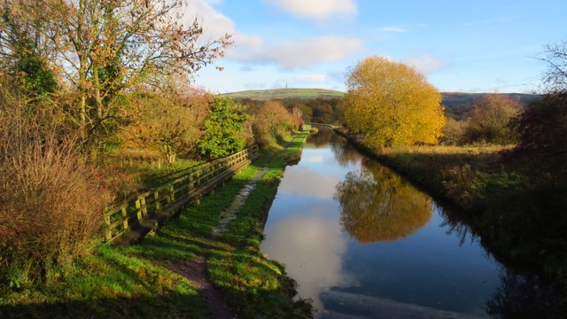
Foxcroft Wood is a picturesque woodland located in the county of Cheshire, England. Covering an area of approximately 50 hectares, this enchanting forest provides a serene and idyllic retreat for nature lovers and outdoor enthusiasts alike.
As one ventures into Foxcroft Wood, they are greeted by a diverse range of tree species, including oak, beech, and birch, creating a rich and vibrant canopy overhead. The woodland floor is adorned with a carpet of bluebells and wildflowers during the spring, adding a burst of color to the surroundings.
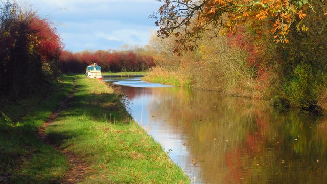
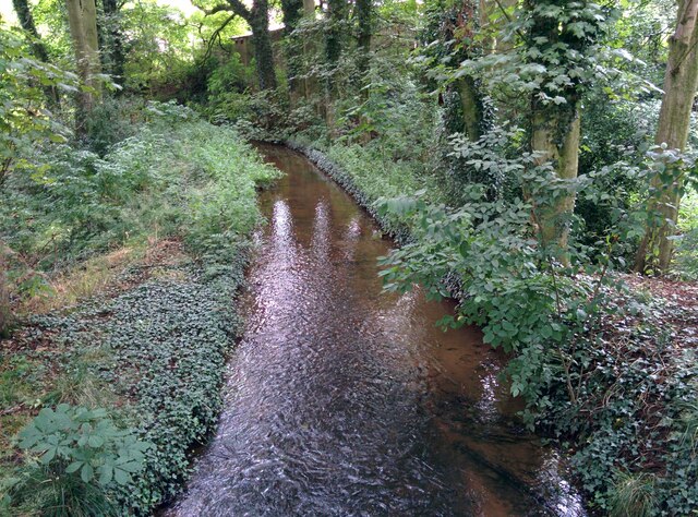
The tranquil atmosphere of Foxcroft Wood is further enhanced by the presence of a meandering stream, which gently flows through the heart of the forest. This stream not only adds to the aesthetic charm of the wood, but also provides a valuable habitat for a variety of aquatic species, such as frogs and newts.
The wood is home to a diverse array of wildlife, with many species finding refuge in its lush and verdant surroundings. Deer can often be spotted grazing amongst the trees, while squirrels scamper playfully along the branches. Birdwatchers will delight in the opportunity to observe a multitude of avian species, including woodpeckers, owls, and songbirds.
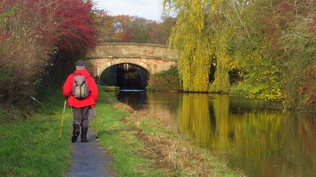
With its well-maintained footpaths and trails, Foxcroft Wood offers visitors the chance to explore its natural beauty on foot. Whether it be a leisurely stroll or a more challenging hike, there is something for everyone to enjoy. The wood also features designated picnic areas, allowing visitors to relax and unwind amidst the peaceful surroundings.
In conclusion, Foxcroft Wood is a captivating woodland in Cheshire, boasting a rich variety of flora and fauna. Its tranquil ambiance, scenic beauty, and recreational opportunities make it a cherished destination for nature enthusiasts and a true gem of the region.
If you have any feedback on the listing, please let us know in the comments section below.
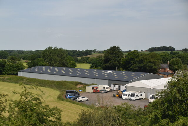
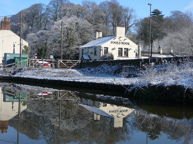
Foxcroft Wood Images
Images are sourced within 2km of 53.190115/-2.1325455 or Grid Reference SJ9165. Thanks to Geograph Open Source API. All images are credited.
Foxcroft Wood is located at Grid Ref: SJ9165 (Lat: 53.190115, Lng: -2.1325455)
Unitary Authority: Cheshire East
Police Authority: Cheshire
What 3 Words
///other.resist.replaying. Near Eaton, Cheshire
Nearby Locations
Related Wikis

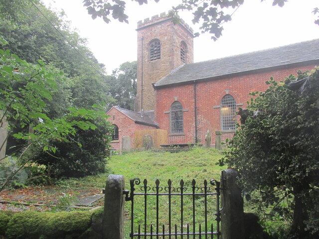
Church of St Mary the Virgin, Bosley
The Church of St Mary the Virgin is in Leek Road, Bosley, Cheshire, England. It is recorded in the National Heritage List for England as a designated Grade...
Bosley
Bosley is a village and civil parish in Cheshire, England. At the 2001 census, it had a population of 406. The village is on the A523 road near to where...
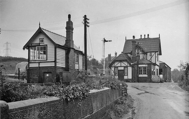
Bosley railway station
Bosley railway station served the village of Bosley, Cheshire. The station was opened by the North Staffordshire Railway in September 1849 as part of the...

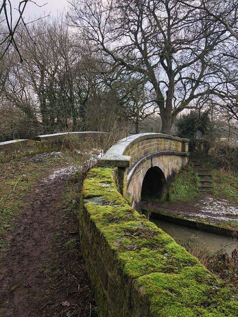
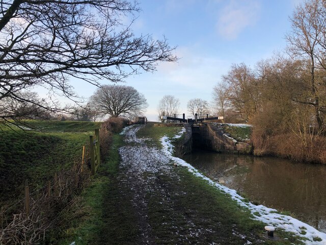
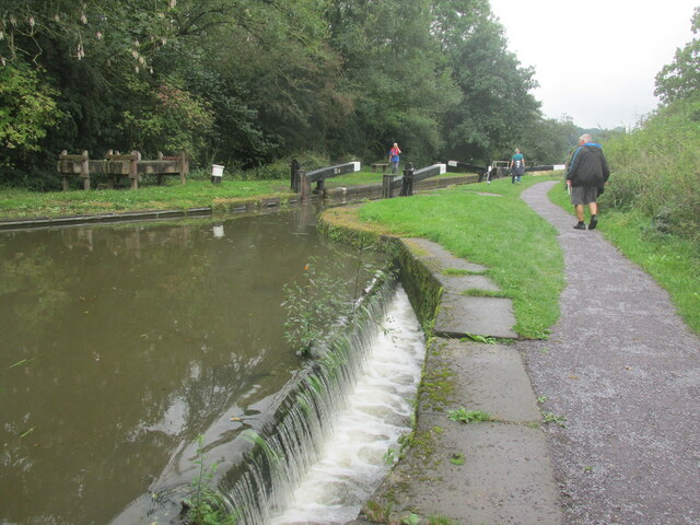
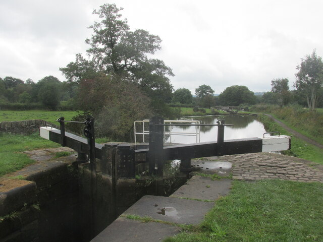
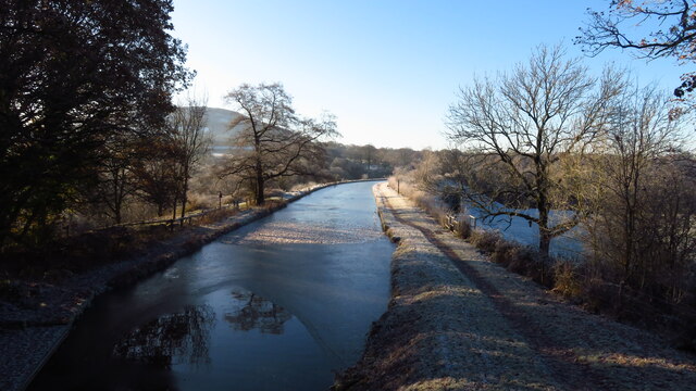
Bosley Lock Flight
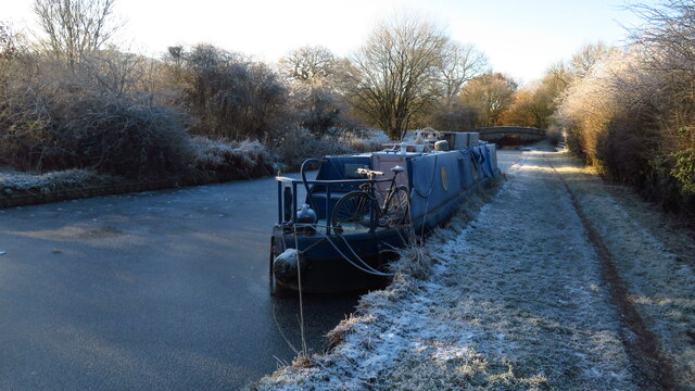
Bosley Lock Flight (grid reference SJ904662) is a flight of twelve canal locks, situated on the Macclesfield Canal at Bosley, near Macclesfield, Cheshire...
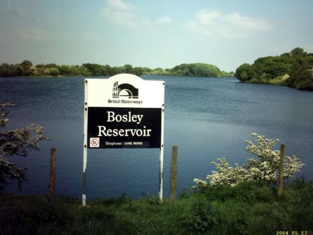
Bosley Reservoir
Bosley Reservoir is a large reservoir created to feed the Macclesfield Canal system, specifically the twelve Bosley locks. It is fed from the surrounding...

North Rode railway station
North Rode railway station originally North Rode junction served the village of North Rode, Cheshire. The station was opened by the North Staffordshire...
Oakgrove, Cheshire
Oakgrove is a village in Cheshire, England. It is part of the civil parish of Sutton and is situated on the Macclesfield Canal which is crossed here by...
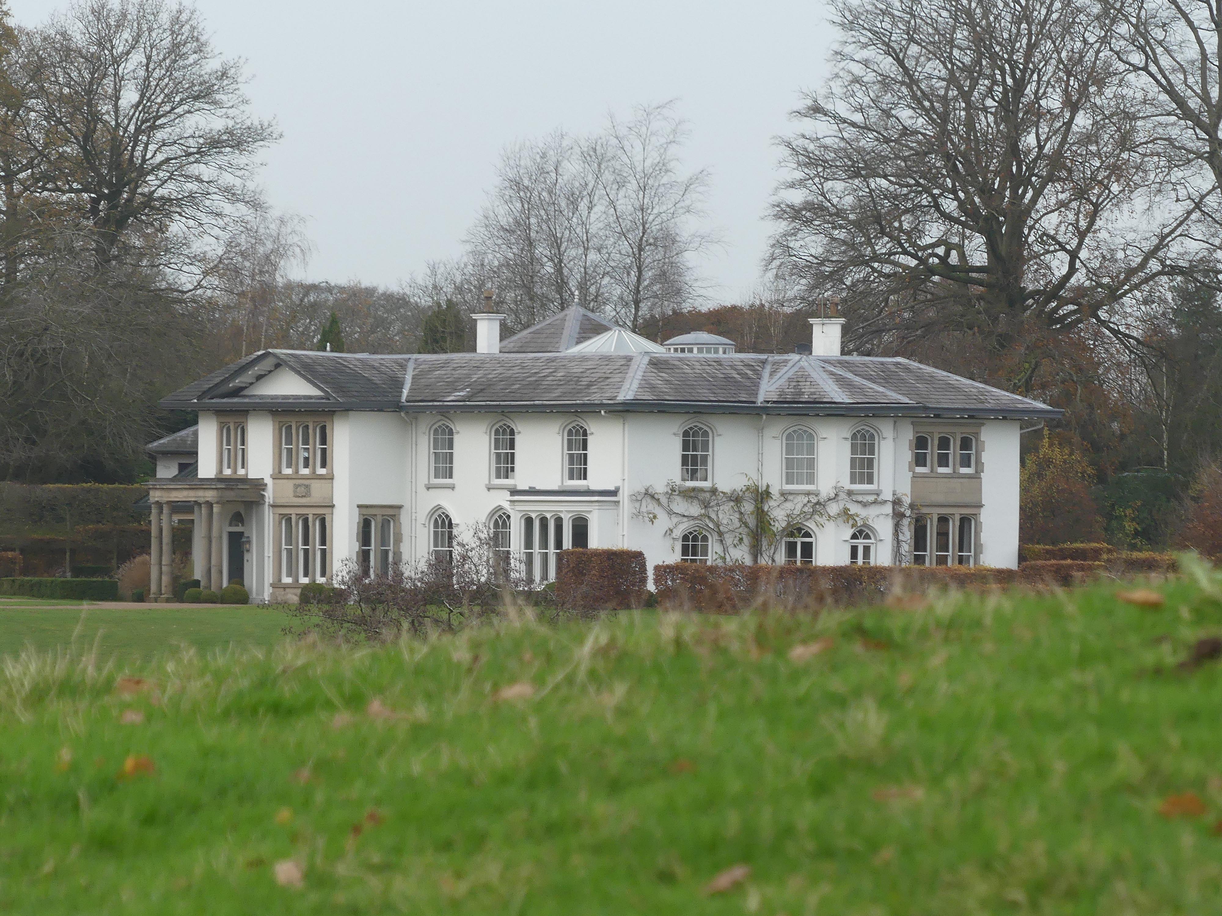
North Rode Manor
North Rode Manor is a country house standing to the north of the village of North Rode, Cheshire, England. The house was built between 1838 and 1840 for...
Related Videos

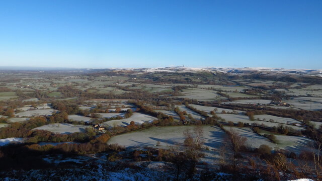
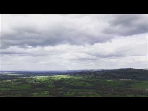
Walking at Bosley Cloud - Drone footage , April 12th 2021 #DJI #The Cloud #drone #walking
A beautiful spot with views for miles in every direction. Well worth a visit for a picnic on the rocks maybe? Lots of old names ...
Max's day hiking around Bosley Reservoir
familyvlog #kidstv #kidsvideo #fun #adventure #hikingadventures #bosley #bosleyreservoir #walking #greatoutdoors #familywalk ...
𝙃𝙚𝙖𝙡𝙩𝙝𝙈𝙖𝙩𝙩𝙚𝙧𝙨90/𝙏𝙝𝙚 𝘾𝙡𝙤𝙪𝙙/𝙃𝙞𝙠𝙞𝙣𝙜/𝙒𝙖𝙡𝙠𝙞𝙣𝙜@mervingasco
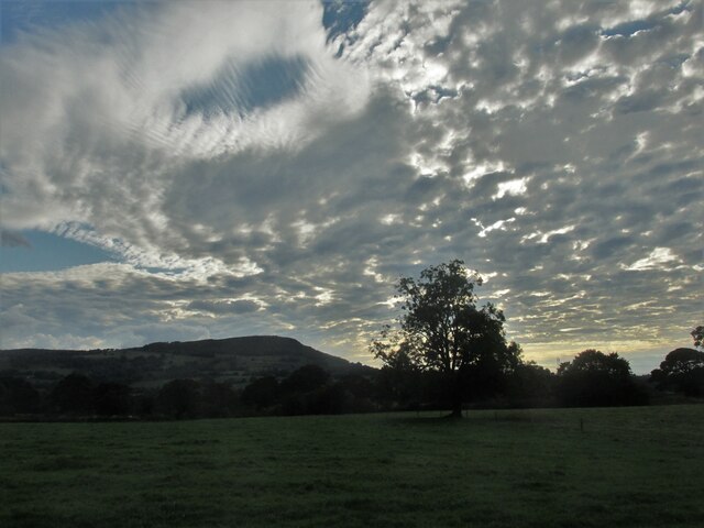
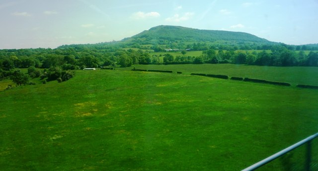
Day 90. Make use of your time. The Cloud. At 343 metres (1125 ft) in height, it is one of the highest hills in the area.
The cloud Hiking up bosley cloud
Hiking up bosley cloud Cheshire.
Nearby Amenities
Located within 500m of 53.190115,-2.1325455Have you been to Foxcroft Wood?
Leave your review of Foxcroft Wood below (or comments, questions and feedback).