Bartlett's Firs
Wood, Forest in Dorset
England
Bartlett's Firs
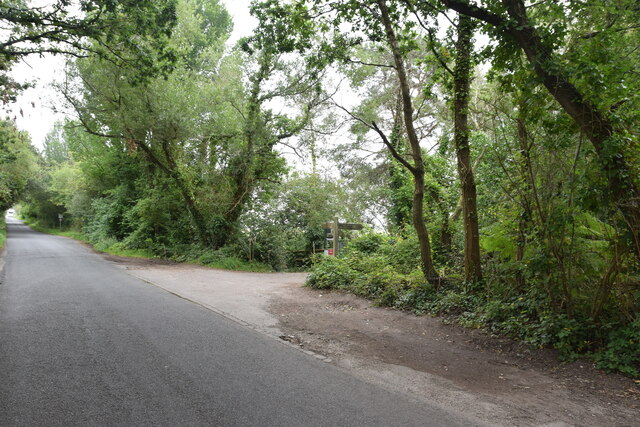
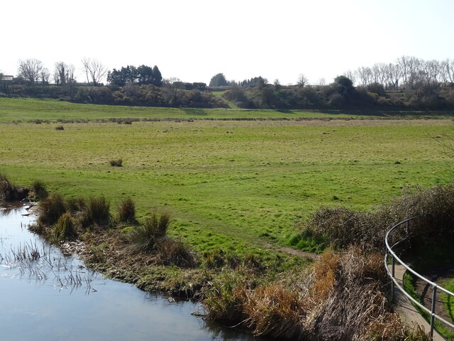
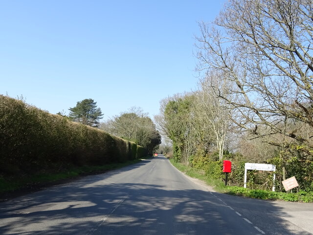
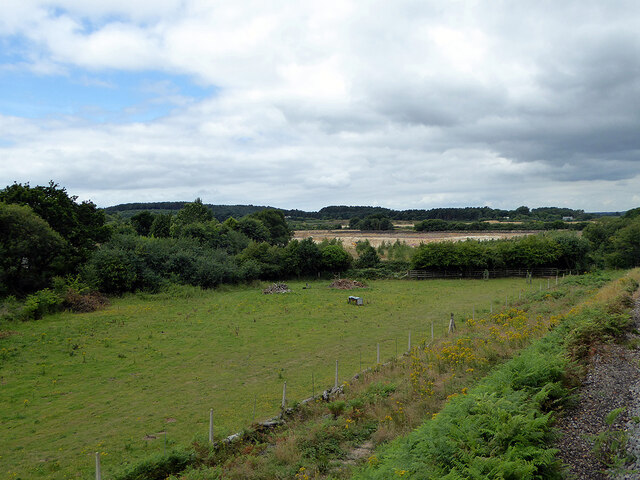
Bartlett's Firs is a picturesque woodland located in the heart of Dorset, England. This enchanting forest covers an area of approximately 100 acres and is known for its dense growth of majestic fir trees. It is a popular destination for nature lovers, hikers, and photographers alike.
The forest boasts a diverse range of flora and fauna, with a variety of tree species including Douglas firs, Scots pines, and Norway spruces. The towering fir trees create a serene and peaceful atmosphere, providing a perfect habitat for a wide array of woodland creatures such as deer, foxes, and numerous bird species.
Bartlett's Firs offers a network of well-maintained trails that wind through the forest, allowing visitors to explore its beauty at their own pace. These trails vary in difficulty, catering to both casual strollers and seasoned hikers. Along the way, there are several viewpoints that offer breathtaking vistas of the surrounding countryside, making it an ideal spot for capturing stunning photographs.
In addition to its natural beauty, Bartlett's Firs also holds historical significance. The forest has been part of the local landscape for centuries and has witnessed a rich tapestry of human activity, from ancient settlements to more recent logging practices. Today, the forest is managed by the local authorities to preserve its natural integrity and ensure its continued enjoyment for future generations.
Overall, Bartlett's Firs is a haven of tranquility and natural beauty, offering a serene escape from the hustle and bustle of everyday life. Whether it's a leisurely walk, a wildlife-spotting adventure, or simply a peaceful retreat in nature, this forest has something to offer to everyone who visits.
If you have any feedback on the listing, please let us know in the comments section below.
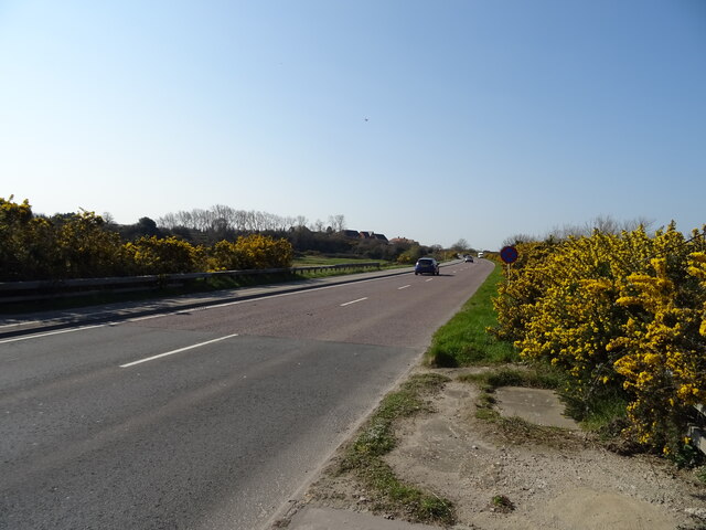
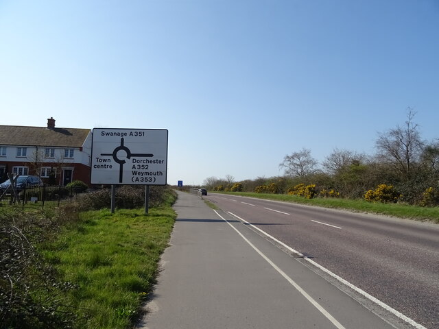
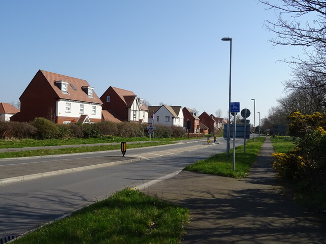
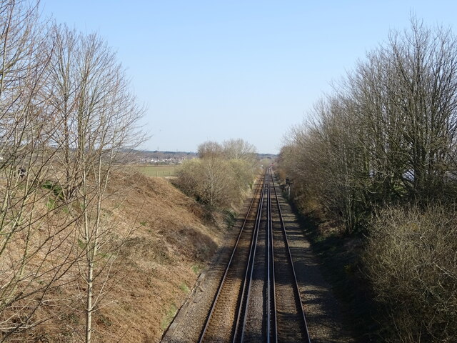
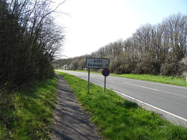
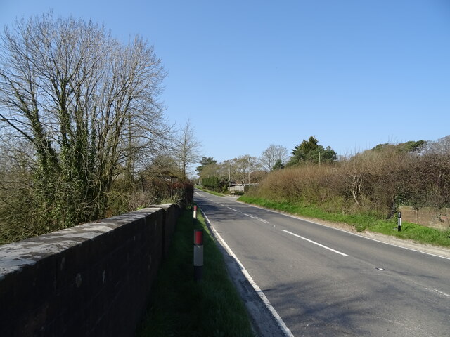
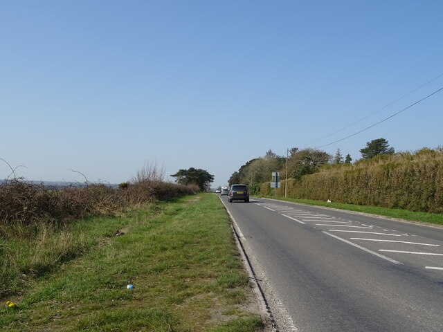
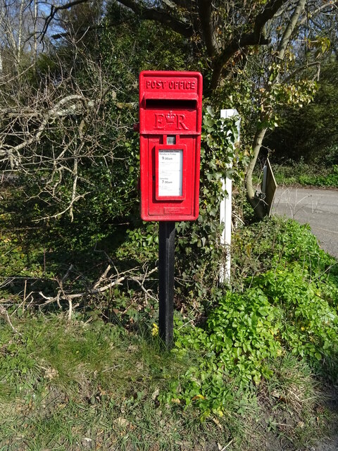
Bartlett's Firs Images
Images are sourced within 2km of 50.67041/-2.1190262 or Grid Reference SY9185. Thanks to Geograph Open Source API. All images are credited.


Bartlett's Firs is located at Grid Ref: SY9185 (Lat: 50.67041, Lng: -2.1190262)
Unitary Authority: Dorset
Police Authority: Dorset
What 3 Words
///added.daydreams.sculpture. Near Wareham, Dorset
Nearby Locations
Related Wikis

Stoborough
Stoborough () is a village in the English county of Dorset. It is situated one mile to the south of the town of Wareham, and separated from it by the River...
Stoborough Green
Stoborough Green is a village in the English county of Dorset. It is situated to the south of the village of Stoborough and about 2 kilometres south of...

The Purbeck School
The Purbeck School is a coeducational secondary school and sixth form located in Wareham in the central southern area of Dorset, England, on the Isle of...
Purbeck miniature railway
Purbeck Miniature Railway was a 7+1⁄4 in (184 mm) gauge miniature railway, located at The Purbeck School near Wareham, Dorset, England. Construction started...

Wareham Castle and town defences
Wareham Castle and the town defences, known locally as the Walls, were fortifications in the town of Wareham in Dorset, England. == 1st-11th century... ==

Worgret
Worgret is a hamlet in the English county of Dorset. It is situated immediately to the west of the town of Wareham. Worgret forms part of the civil parish...

Wareham Priory
Wareham Priory was a monastery in Wareham, Dorset, England. A nunnery was founded on the site by the Saxons, possibly in 672, and dispersed during the...

Lady St Mary Church, Wareham
The parish church of Lady St. Mary, Wareham is a church of Anglo-Saxon origin in the town of Wareham, Dorset, in England. The church is notable as the...
Nearby Amenities
Located within 500m of 50.67041,-2.1190262Have you been to Bartlett's Firs?
Leave your review of Bartlett's Firs below (or comments, questions and feedback).