Stoborough Withy Bed

Wood, Forest in Dorset

England

Stoborough Withy Bed

New Road A finger post indicates the route of the Purbeck Way.
New Road Credit: Trevor Harris

Stoborough Withy Bed is a small wood or forest located in the county of Dorset, England. Situated near the village of Stoborough, it covers an area of approximately [insert size] and is characterized by its dense and diverse vegetation.

The woodland is primarily composed of withy beds, which are areas where willow trees are cultivated for their flexible branches, also known as withies. These withies are traditionally used for a variety of purposes, such as basket weaving, thatching, and fencing. Stoborough Withy Bed has a long history of willow cultivation and has been an important resource for the local community.

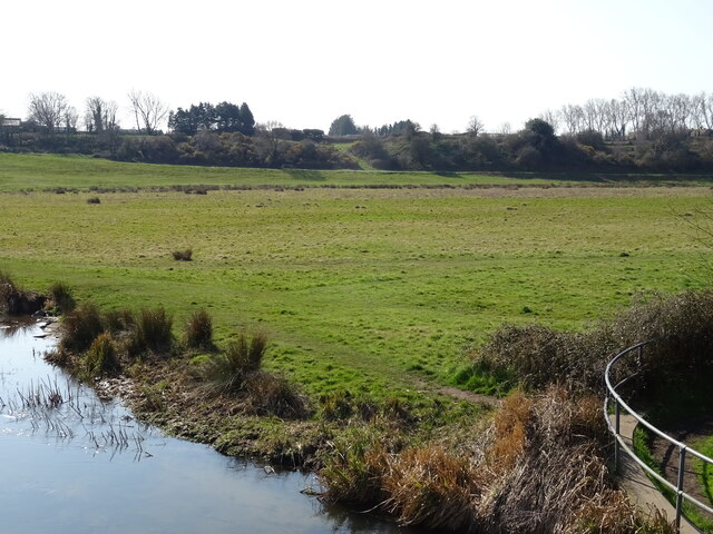
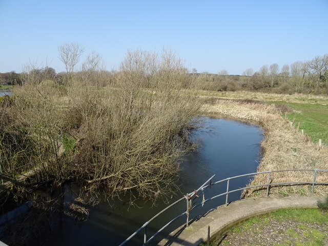
The wood is located on relatively flat terrain and is intersected by a small stream, which adds to the overall natural beauty of the area. The stream also provides a habitat for various aquatic species, including fish and invertebrates.

Stoborough Withy Bed is home to a wide range of flora and fauna. The woodland supports a diverse ecosystem, with a mixture of deciduous and coniferous trees. Common tree species found in the area include oak, birch, willow, and pine. These trees provide shelter and food for numerous bird species, such as woodpeckers, owls, and various songbirds.

The woodland is also home to a variety of mammals, including squirrels, rabbits, and deer. Additionally, Stoborough Withy Bed is known for its rich insect life, with numerous species of butterflies, bees, and beetles calling the wood their home.

Overall, Stoborough Withy Bed is a vibrant and biodiverse woodland, offering a peaceful and picturesque environment for visitors to enjoy and explore.

If you have any feedback on the listing, please let us know in the comments section below.

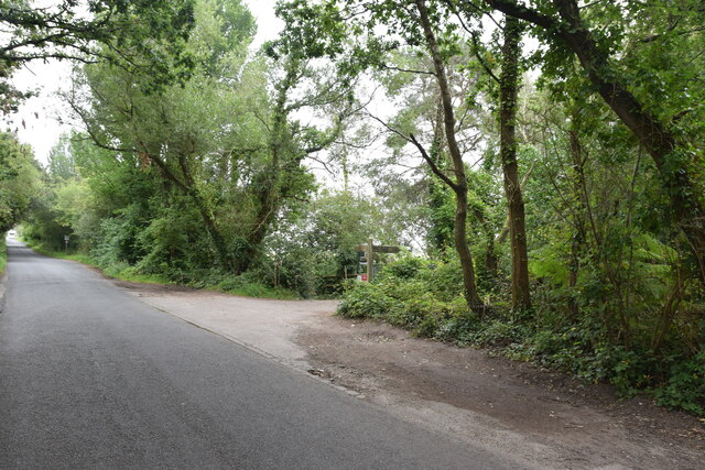
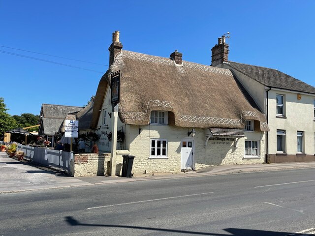
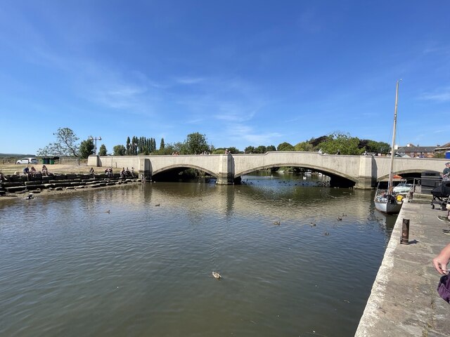
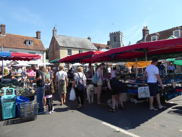
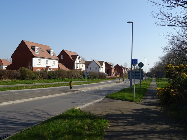
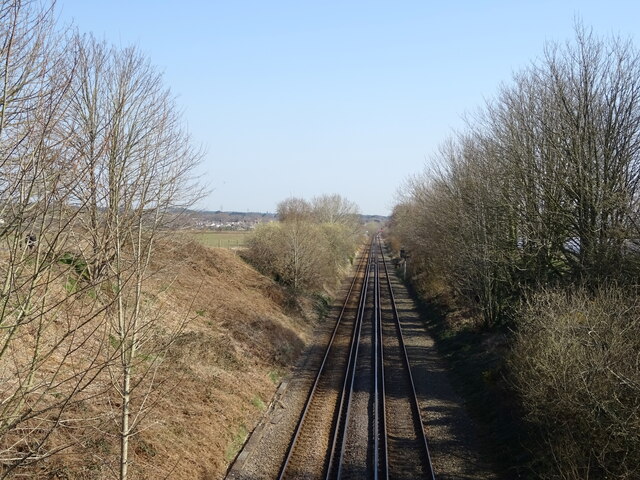
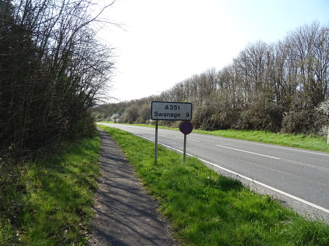
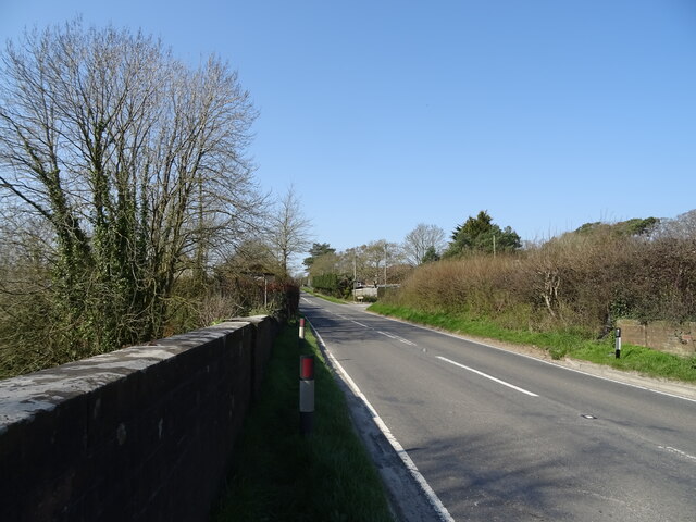
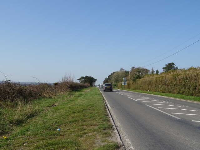
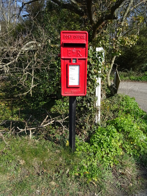
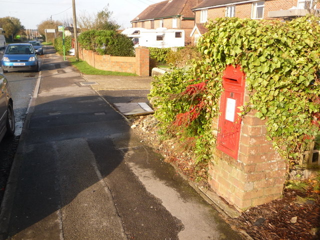
Stoborough Withy Bed Images

Images are sourced within 2km of 50.672435/-2.1172341 or Grid Reference SY9185. Thanks to Geograph Open Source API. All images are credited.

New Road A finger post indicates the route of the Purbeck Way.
New Road
A finger post indicates the route of the Purbeck Way.
Church of St Martin, Wareham (1) The most complete example of an Anglo-Saxon church in Dorset, a Grade I listed building, and a Scheduled Ancient Monument. [Wikipedia]

<a href="https://www.geograph.org.uk/photo/722210">SY9287 : Church of St Martin, Wareham (2)</a>
Church of St Martin, Wareham (1)
The most complete example of an Anglo-Saxon church in Dorset, a Grade I listed building, and a Scheduled Ancient Monument. [Wikipedia] SY9287 : Church of St Martin, Wareham (2)
Church of St Martin, Wareham - T E Lawrence effigy (3) The effigy of T. E. Lawrence (Lawrence of Arabia). Sculpted by his friend Eric Kennington, it was reputedly rejected by Westminster Abbey, St Paul's and Salisbury Cathedrals as being too controversial. Lawrence was killed in a motorcycle accident near his home at Cloud's Hill in 1935, and lies buried in the separate graveyard of St Nicholas Church at Moreton.

<a href="https://www.geograph.org.uk/photo/722196">SY9287 : Church of St Martin, Wareham - T E Lawrence effigy (4)</a>
Church of St Martin, Wareham - T E Lawrence effigy (3)
The effigy of T. E. Lawrence (Lawrence of Arabia). Sculpted by his friend Eric Kennington, it was reputedly rejected by Westminster Abbey, St Paul's and Salisbury Cathedrals as being too controversial. Lawrence was killed in a motorcycle accident near his home at Cloud's Hill in 1935, and lies buried in the separate graveyard of St Nicholas Church at Moreton. SY9287 : Church of St Martin, Wareham - T E Lawrence effigy (4)
The Kings Arms Pub and restaurant in Stoborough  built in the 16th century
The Kings Arms
Pub and restaurant in Stoborough built in the 16th century
Bridge over the River Frome
Wareham Quay Market
Wareham Quay Market
Grazing near the River Piddle
The River Piddle
The River Piddle
The River Piddle
The River Piddle
A351 towards Corfe Castle
A351 approaching roundabout
New housing beside the B3070
Railway towards Wareham
A351 towards Swanage (9 Miles)
A352 towards Wool
A352 towards Wool
Grazing, Worgret
Grazing, Worgret
A352 towards Wool
A352 towards Wool
Elizabeth II postbox, Worgret Postbox No. BH20 112.
Elizabeth II postbox, Worgret
Postbox No. BH20 112.
Show me another place!

Stoborough Withy Bed is located at Grid Ref: SY9185 (Lat: 50.672435, Lng: -2.1172341)

Unitary Authority: Dorset

Police Authority: Dorset

What 3 Words

///backfired.digit.decimal. Near Wareham, Dorset

Related Wikis

Stoborough

Stoborough () is a village in the English county of Dorset. It is situated one mile to the south of the town of Wareham, and separated from it by the River...

Stoborough Green

Stoborough Green is a village in the English county of Dorset. It is situated to the south of the village of Stoborough and about 2 kilometres south of...

The Purbeck School

The Purbeck School is a coeducational secondary school and sixth form located in Wareham in the central southern area of Dorset, England, on the Isle of...

Purbeck miniature railway

Purbeck Miniature Railway was a 7+1⁄4 in (184 mm) gauge miniature railway, located at The Purbeck School near Wareham, Dorset, England. Construction started...

Wareham Castle and town defences

Wareham Castle and the town defences, known locally as the Walls, were fortifications in the town of Wareham in Dorset, England. == 1st-11th century... ==

Wareham Priory

Wareham Priory was a monastery in Wareham, Dorset, England. A nunnery was founded on the site by the Saxons, possibly in 672, and dispersed during the...

Lady St Mary Church, Wareham

The parish church of Lady St. Mary, Wareham is a church of Anglo-Saxon origin in the town of Wareham, Dorset, in England. The church is notable as the...

Purbeck District

Purbeck was a local government district in Dorset, England. The district was named after the Isle of Purbeck, a peninsula that forms a large proportion...

Nearby Amenities

Located within 500m of 50.672435,-2.1172341
Crossing
Bicycle: yes
Crossing: uncontrolled
Crossing Island: yes
Kerb: lowered
Tactile Paving: no
Lat/Long: 50.6729512/-2.1110748
Fire Hydrant
Emergency: fire_hydrant
Fire Hydrant Diameter: 100
Fire Hydrant Type: underground
Ref: 4164
Source: GPS
Lat/Long: 50.6731683/-2.1124046
Springfield Hotel
Tourism: hotel
Lat/Long: 50.6700912/-2.11253
Kerb: no
Lat/Long: 50.6755326/-2.1137618
Crossing
Crossing: uncontrolled
Crossing Island: yes
Kerb: lowered
Tactile Paving: no
Lat/Long: 50.6740542/-2.1118452
Crossing
Bicycle: yes
Crossing: unmarked
Crossing Markings: no
Kerb: lowered
Source: survey
Lat/Long: 50.6727216/-2.1124249
Barrier: stile
Source: survey
Lat/Long: 50.6752058/-2.1176464
Barrier: stile
Source: survey
Lat/Long: 50.6754718/-2.114012
Street Lamp
Source: survey
Lat/Long: 50.6739133/-2.1121035
Crossing: no
Note: no dropped kerb on eastern side
Lat/Long: 50.6737882/-2.1118531
Power: pole
Ref: 812178
Source: survey
Lat/Long: 50.6689548/-2.1141641
Addr Housename: Old Stables
Lat/Long: 50.6688061/-2.1137524
Addr Housename: Icen Lodge
Lat/Long: 50.6688223/-2.1137846
Power: pole
Ref: 812179;1
Source: survey
Lat/Long: 50.6690118/-2.1136799
Power: pole
Ref: 812180
Source: survey
Lat/Long: 50.6690492/-2.1132347
Power: pole
Ref: 818484
Source: survey
Lat/Long: 50.6690755/-2.112827
Give Way
Direction: backward
Lat/Long: 50.6701858/-2.1137395
Fire Hydrant
Emergency: fire_hydrant
Fire Hydrant Diameter: 4 inch
Fire Hydrant Type: underground
Ref: 6601
Source: GPS+GLONASS
Lat/Long: 50.670309/-2.113697
Colour: gray
Man Made: street_cabinet
Operator: Openreach
Operator Wikidata: Q7096543
Utility: telecom
Lat/Long: 50.6701894/-2.1136627
East Holme Nature Reserve
Fixme: Find extents
Lat/Long: 50.6694461/-2.1224722
Barrier: stile
Source: survey
Lat/Long: 50.675133/-2.1168101
Barrier: kerb
Kerb: lowered
Tactile Paving: no
Lat/Long: 50.672928/-2.1111274
Barrier: kerb
Kerb: lowered
Tactile Paving: no
Lat/Long: 50.672973/-2.1110251
Barrier: kerb
Kerb: lowered
Tactile Paving: no
Lat/Long: 50.6740171/-2.1117962
Barrier: kerb
Kerb: lowered
Tactile Paving: no
Lat/Long: 50.6741114/-2.1118738
Give Way
Direction: backward
Lat/Long: 50.6731734/-2.1113757
Give Way
Direction: backward
Lat/Long: 50.6740045/-2.111951
Barrier: kerb
Kerb: lowered
Tactile Paving: no
Lat/Long: 50.6727025/-2.1123981
Barrier: kerb
Kerb: lowered
Tactile Paving: no
Lat/Long: 50.6727462/-2.1124596
Barrier: kerb
Kerb: lowered
Tactile Paving: no
Lat/Long: 50.6727016/-2.1125186
The data included in this document is from www.openstreetmap.org. The data is made available under ODbL.

Have you been to Stoborough Withy Bed?

Leave your review of Stoborough Withy Bed below (or comments, questions and feedback).