Old Covert Plantation

Wood, Forest in Northumberland

England

Old Covert Plantation

Minor  road  junction  on  A697  to  Milfield  Hill  and  beyond
Minor road junction on A697 to Milfield Hill and beyond Credit: Martin Dawes

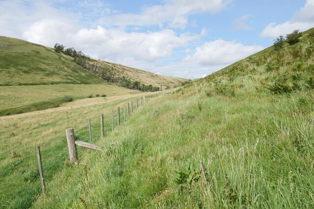
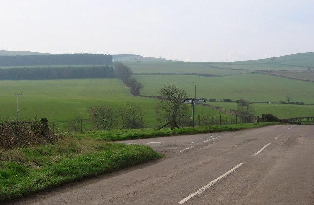
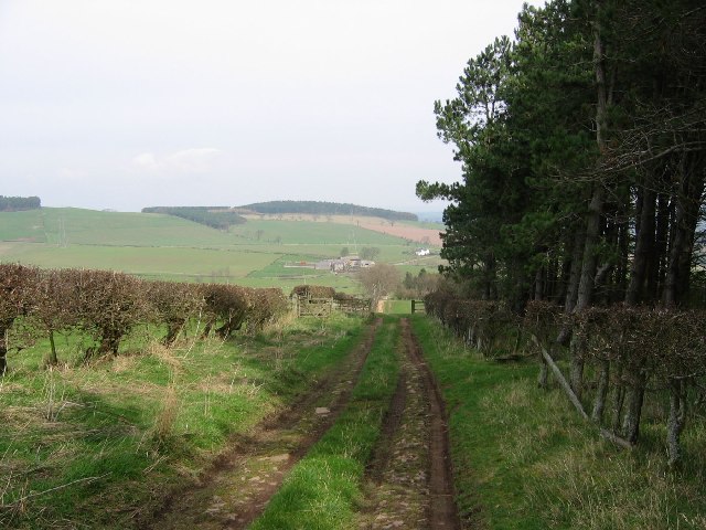
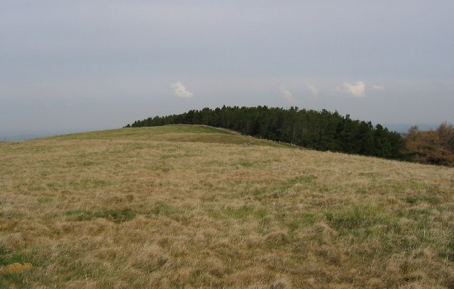
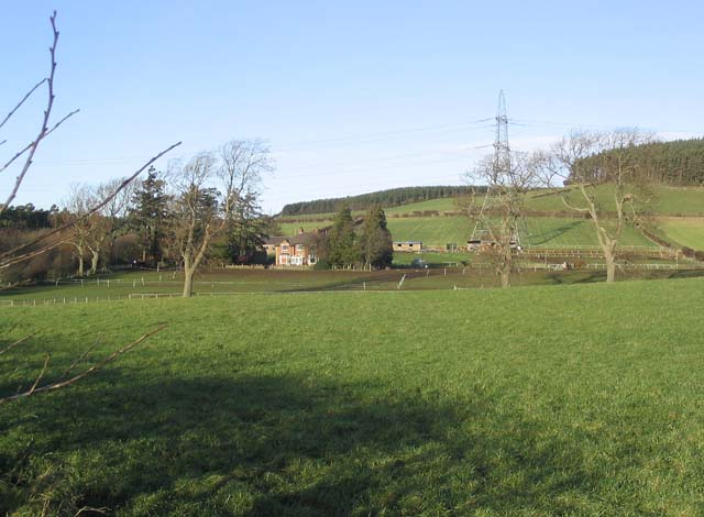
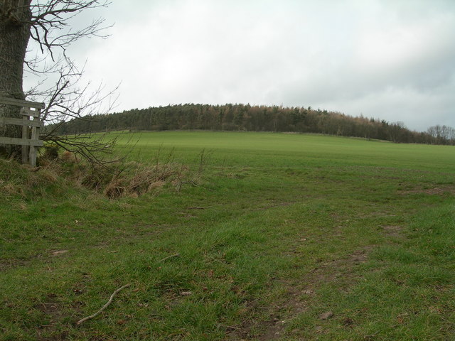
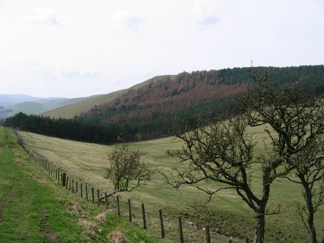
Old Covert Plantation is a picturesque woodland located in Northumberland, England. Covering an area of approximately 200 acres, this historic woodland is known for its dense forest and natural beauty. The plantation is situated within the boundaries of the Coquetdale Valley, offering visitors a tranquil and peaceful escape from the hustle and bustle of city life.

The woodland is predominantly composed of mature broadleaf trees, including oak, beech, ash, and birch, creating a diverse and rich ecosystem. The dense canopy provides ample shade, and the forest floor is adorned with a variety of native wildflowers and ferns, adding to its enchanting ambiance.

Old Covert Plantation is a haven for wildlife enthusiasts and nature lovers alike. The woodland is home to numerous species of birds, such as woodpeckers, robins, and owls, which can often be spotted and heard throughout the day. Deer and squirrels are also frequently sighted, adding to the allure of the plantation.

Visitors can explore Old Covert Plantation through a network of well-maintained walking trails that wind their way through the woodland. These paths offer stunning views of the surrounding countryside and allow visitors to immerse themselves in the natural splendor of the area.

The beauty of Old Covert Plantation is further enhanced during the autumn months when the leaves of the trees transform into a vibrant display of reds, oranges, and yellows, making it a popular destination for photographers and nature enthusiasts seeking to capture the essence of the season.

Overall, Old Covert Plantation is a captivating woodland that offers visitors an opportunity to reconnect with nature and experience the tranquility of a truly remarkable natural setting.

If you have any feedback on the listing, please let us know in the comments section below.

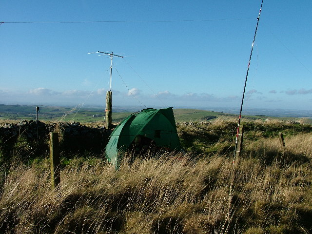
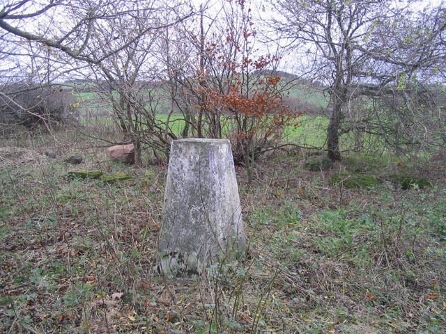
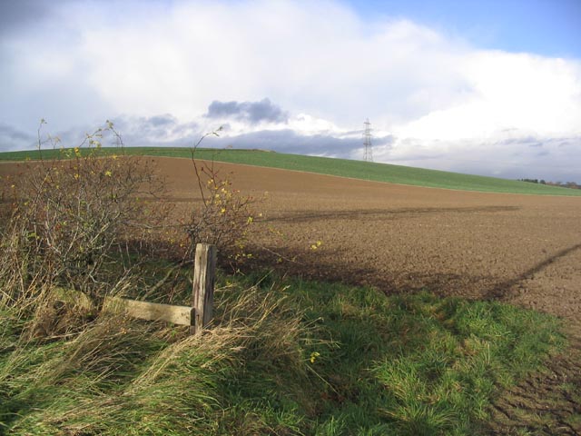
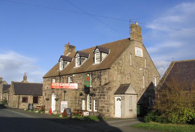
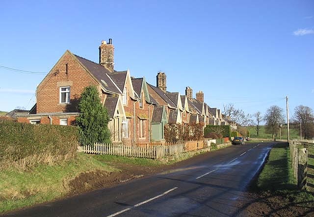
Old Covert Plantation Images

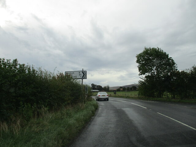
Images are sourced within 2km of 55.595863/-2.1334411 or Grid Reference NT9133. Thanks to Geograph Open Source API. All images are credited.

Minor  road  junction  on  A697  to  Milfield  Hill  and  beyond
Minor road junction on A697 to Milfield Hill and beyond
The approach to Coldside Hill A blustery August afternoon on the approach to Coldside Hill near Manors.
The approach to Coldside Hill
A blustery August afternoon on the approach to Coldside Hill near Manors.
Storm Arwen damage on Housedon Hill The remains of a small strip of a former conifer plantation left after harvesting, presumably as a shelter belt; this was decimated by Storm Arwen (26/27 November 2021).
Storm Arwen damage on Housedon Hill
The remains of a small strip of a former conifer plantation left after harvesting, presumably as a shelter belt; this was decimated by Storm Arwen (26/27 November 2021).
Heading down Coldside Hill The steep western slopes of Coldside Hill adjacent to a conifer plantation, bound for the 'pass' between Coldside and Housedon Hill.
Heading down Coldside Hill
The steep western slopes of Coldside Hill adjacent to a conifer plantation, bound for the 'pass' between Coldside and Housedon Hill.
A path below Coldside Hill Looking back to the 'pass' between Coldside Hill (right) and Housedon Hill (left).
A path below Coldside Hill
Looking back to the 'pass' between Coldside Hill (right) and Housedon Hill (left).
West Flodden Crossroads This is an arable farming area with big fields of winter planted crops. Sheep are run on the surrounding higher ground.
West Flodden Crossroads
This is an arable farming area with big fields of winter planted crops. Sheep are run on the surrounding higher ground.
Farm track, Kypie Farm lane running beside one of the many small woodlands providing timber and shelter for game.
Farm track, Kypie
Farm lane running beside one of the many small woodlands providing timber and shelter for game.
Housedon Hill Taken from the track between West Flodden and Kirknewton as it crosses the Kypie Hill pass. The remains of an old hawthorn hedge can be seen, victim to climate and the easier to maintain wire fencing. As well as woodland this high ground is under sheep grazing.
Housedon Hill
Taken from the track between West Flodden and Kirknewton as it crosses the Kypie Hill pass. The remains of an old hawthorn hedge can be seen, victim to climate and the easier to maintain wire fencing. As well as woodland this high ground is under sheep grazing.
Housedon Hill The summit area of Housedon Hill (267m) shared between woodland and rough grazing. Housedon is the northernmost hill in England with at least 150m of reascent on all sides.
Housedon Hill
The summit area of Housedon Hill (267m) shared between woodland and rough grazing. Housedon is the northernmost hill in England with at least 150m of reascent on all sides.
SOTA Activation of Housedon Hill 7th November 2005 Operating from the summit of Housedon Hill - Grid ref NT 90219 32901
SOTA Activation of Housedon Hill 7th November 2005
Operating from the summit of Housedon Hill - Grid ref NT 90219 32901
The trig point on Whitton Hill This trig point at 73m is located within a small triangular piece of waste ground, surrounded by arable and pasture fields.
The trig point on Whitton Hill
This trig point at 73m is located within a small triangular piece of waste ground, surrounded by arable and pasture fields.
Ploughed field Looking towards Whitton Hill.
Ploughed field
Looking towards Whitton Hill.
The Red Lion Inn at Milfield
Flodden Edge Farm
Flodden Edge Farm
Houses at Howtel By the B6352.
Houses at Howtel
By the B6352.
Plantation on Flodden Hill
Rural Garages Wooden Garages at Milfield
Rural Garages
Wooden Garages at Milfield
Dandelion Seeds Dandelion Seeds at Milfield, Autumn 2006
Dandelion Seeds
Dandelion Seeds at Milfield, Autumn 2006
Show me another place!

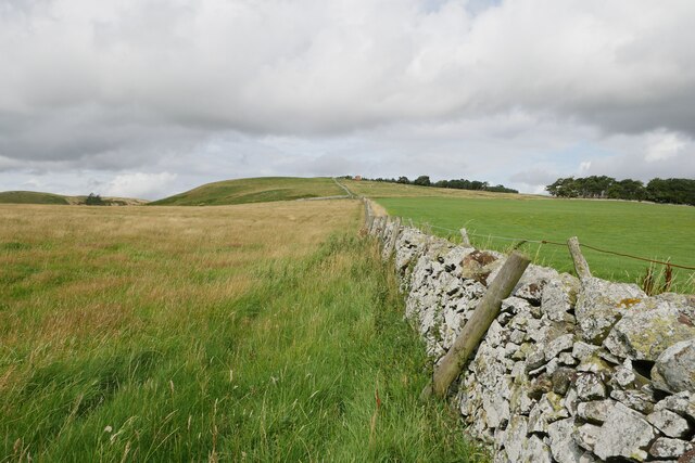
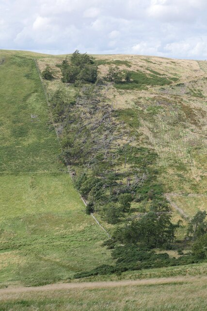
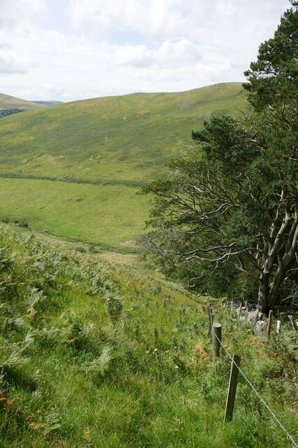
Old Covert Plantation is located at Grid Ref: NT9133 (Lat: 55.595863, Lng: -2.1334411)

Unitary Authority: Northumberland

Police Authority: Northumbria

What 3 Words

///wand.slider.dogs. Near Kirknewton, Northumberland

Related Wikis

Housedon Hill

Housedon Hill is a hill on the northwestern edge of the Cheviot Hills in Northumberland, England. It is the northernmost Marilyn in England, the summit...

Glendale, Northumberland

Glendale is the name of a valley in North Northumberland that runs from the Cheviot Hills at Kirknewton onto the Milfield Plain, formed by the River Glen...

Milfield

Milfield is a village in Northumberland, England about 3 miles (5 km) northwest of Wooler. The A697 road passes through the village. == History == Milfield...

Maelmin Henge

Maelmin Henge is modern interpretation/reconstruction of a henge monument near the village of Milfield, Northumberland in the Till Valley.It was built...

Have you been to Old Covert Plantation?

Leave your review of Old Covert Plantation below (or comments, questions and feedback).