Kinchknowe Plantation
Wood, Forest in Northumberland
England
Kinchknowe Plantation
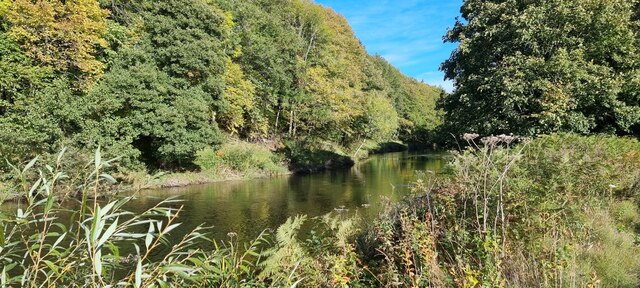
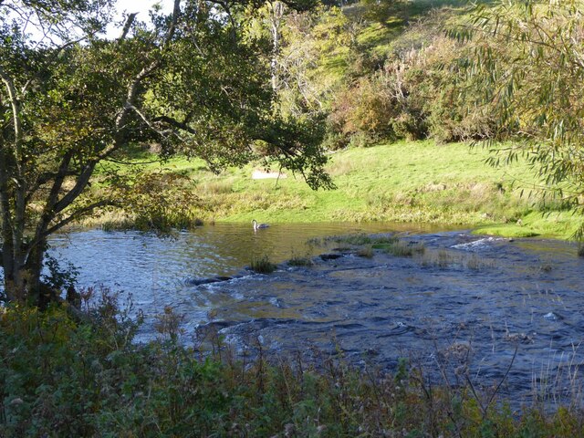
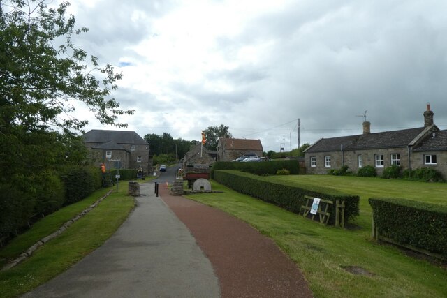
Kinchknowe Plantation is a picturesque woodland located in the county of Northumberland, England. Covering an area of approximately 100 acres, it is situated near the small village of Kinchknowe, nestled amidst the stunning landscape of the Northumberland countryside.
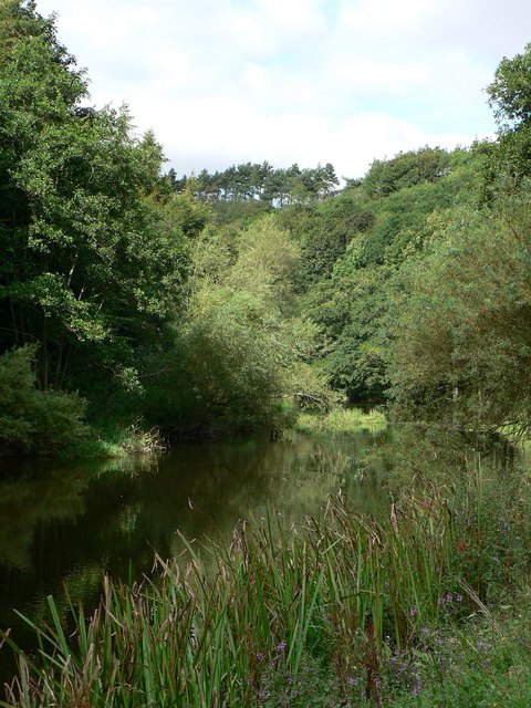
The plantation primarily consists of a diverse range of tree species, including oak, beech, birch, and pine, creating a rich and vibrant forest ecosystem. The trees are well-established and tower above visitors, providing a sense of tranquility and serenity. The woodland floor is adorned with a variety of wildflowers, ferns, and mosses, adding to the natural beauty of the area.
Visitors to Kinchknowe Plantation can enjoy a myriad of outdoor activities, such as walking, hiking, and birdwatching. The well-maintained trails wind through the plantation, offering stunning views of the surrounding countryside and the opportunity to observe a wide range of bird species that call the woodland home.
The plantation also serves as an important habitat for various wildlife, including squirrels, rabbits, and foxes. It provides a safe haven for these creatures, as well as a valuable ecosystem for many other smaller animals, birds, and insects.
Overall, Kinchknowe Plantation offers a peaceful and enchanting retreat for nature lovers and outdoor enthusiasts alike. Whether it's exploring the winding pathways, listening to the soothing sounds of nature, or simply taking in the breathtaking scenery, this woodland is a true gem in the Northumberland landscape.
If you have any feedback on the listing, please let us know in the comments section below.
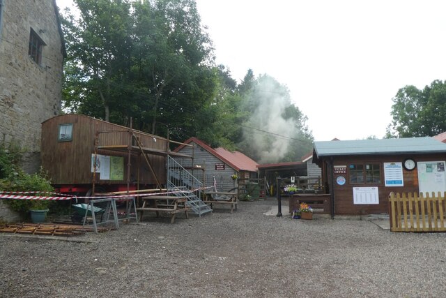
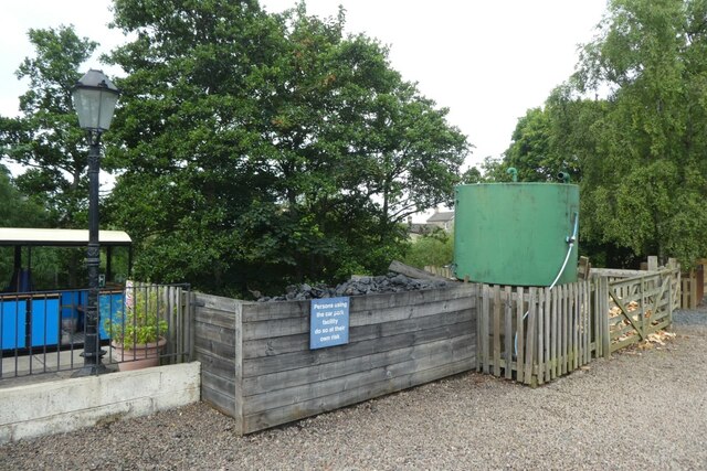
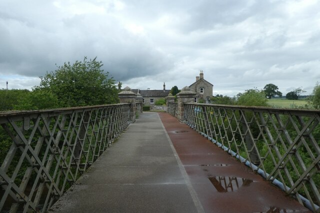
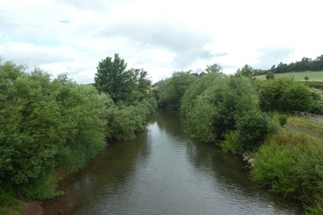
Kinchknowe Plantation Images
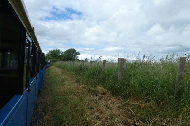
Images are sourced within 2km of 55.64636/-2.1337084 or Grid Reference NT9139. Thanks to Geograph Open Source API. All images are credited.

Kinchknowe Plantation is located at Grid Ref: NT9139 (Lat: 55.64636, Lng: -2.1337084)
Unitary Authority: Northumberland
Police Authority: Northumbria
What 3 Words
///youths.dabbing.guesswork. Near Ford, Northumberland
Nearby Locations
Related Wikis

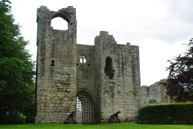
Etal Castle
Etal Castle is a ruined medieval fortification in the village of Etal, Northumberland, England. It was built around 1341 by Robert Manners, and comprised...

Etal, Northumberland
Etal ( EE-təl) is a small village in the far north of the county of Northumberland, England, in the civil parish of Ford. It lies on a bridging point of...

Crookham, Northumberland
Crookham is a village on the River Till in Northumberland, in England. It is situated approximately 8 km (5.0 mi) to the east of Coldstream and 14 km...

Ford Forge
Ford Forge (Ford Mill), Northumberland, England is located on the River Till between the villages of Ford and Etal. Buildings housing a water-powered forge...
Nearby Amenities
Located within 500m of 55.64636,-2.1337084Have you been to Kinchknowe Plantation?
Leave your review of Kinchknowe Plantation below (or comments, questions and feedback).