Tilesheds Plantation
Wood, Forest in Northumberland
England
Tilesheds Plantation
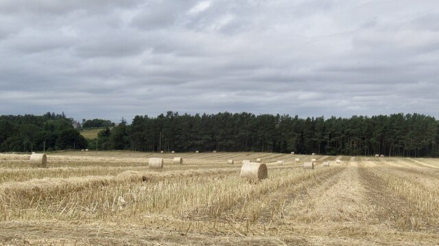
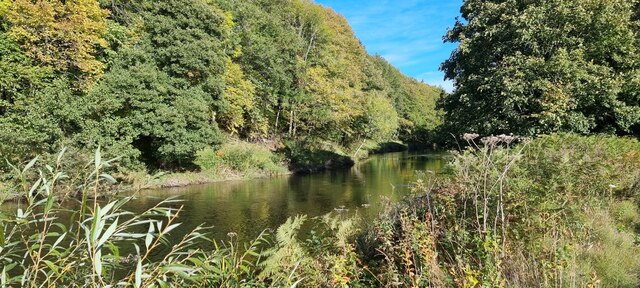
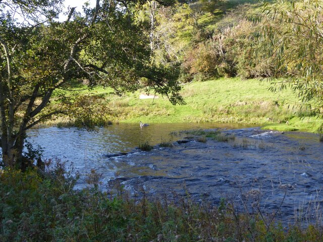
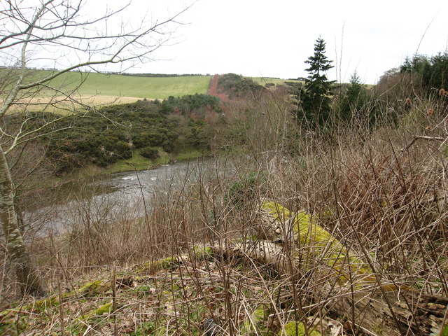
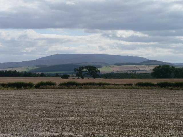
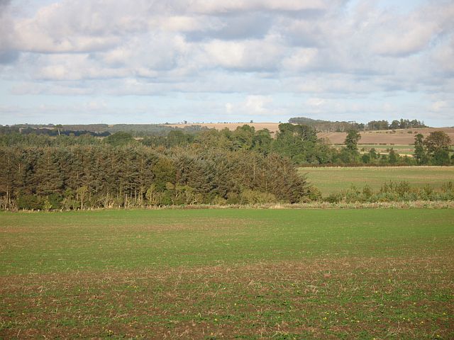
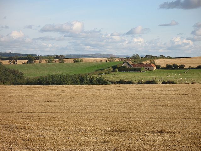
Tilesheds Plantation is a picturesque woodland located in the county of Northumberland, England. Situated in the heart of the county, the plantation spans over a vast area of lush greenery, providing a serene and tranquil retreat for nature enthusiasts and visitors alike.
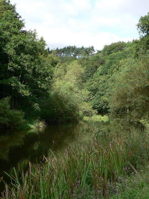
The woodland is characterized by a diverse range of tree species, including oak, ash, birch, and pine, creating a rich and varied ecosystem. The dense canopy of these towering trees provides ample shade and shelter, making it an ideal habitat for a wide array of wildlife such as deer, foxes, squirrels, and a multitude of bird species.
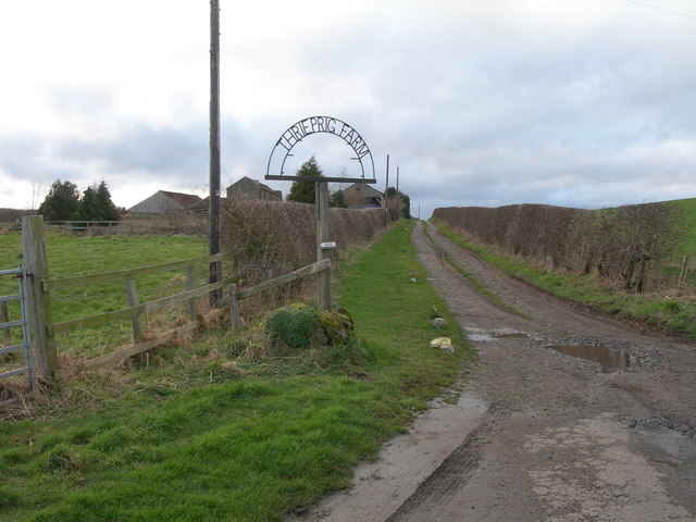
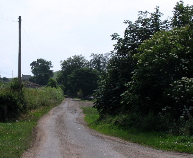
The plantation features well-maintained walking trails and paths that wind through the woodland, allowing visitors to explore and appreciate the natural beauty that surrounds them. These paths are ideal for leisurely strolls, jogging, or even cycling, providing a perfect opportunity to immerse oneself in the tranquility of the surroundings.
In addition to its natural wonders, Tilesheds Plantation also offers several recreational facilities. Picnic areas are scattered throughout the woodland, providing visitors with a chance to relax and enjoy a meal amidst the beauty of nature. There are also designated camping spots for those seeking a more immersive experience, allowing them to spend a night under the starry skies.
Tilesheds Plantation is a cherished gem in Northumberland, attracting nature lovers, hikers, and families seeking an escape from the hustle and bustle of urban life. With its stunning landscapes, diverse wildlife, and recreational opportunities, it is a destination that truly showcases the beauty and serenity of the Northumberland countryside.
If you have any feedback on the listing, please let us know in the comments section below.
Tilesheds Plantation Images
Images are sourced within 2km of 55.655129/-2.1340244 or Grid Reference NT9140. Thanks to Geograph Open Source API. All images are credited.


Tilesheds Plantation is located at Grid Ref: NT9140 (Lat: 55.655129, Lng: -2.1340244)
Unitary Authority: Northumberland
Police Authority: Northumbria
What 3 Words
///irrigated.lurching.hands. Near Ford, Northumberland
Related Wikis

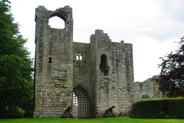
Etal Castle
Etal Castle is a ruined medieval fortification in the village of Etal, Northumberland, England. It was built around 1341 by Robert Manners, and comprised...

Etal, Northumberland
Etal ( EE-təl) is a small village in the far north of the county of Northumberland, England, in the civil parish of Ford. It lies on a bridging point of...

Crookham, Northumberland
Crookham is a village on the River Till in Northumberland, in England. It is situated approximately 8 km (5.0 mi) to the east of Coldstream and 14 km...

Pallinsburn House
Pallinsburn House is an 18th-century country house situated at Ford, Northumberland. It is a Grade II* listed building. The house was built about 1763...
Nearby Amenities
Located within 500m of 55.655129,-2.1340244Have you been to Tilesheds Plantation?
Leave your review of Tilesheds Plantation below (or comments, questions and feedback).