West Park Wood

Wood, Forest in Wiltshire

England

West Park Wood

Old Milestone, A429 1 km SW of Corston on the SE verge. Cut Benchmark representing 79.9 m ASL at 0.1 m GL but currently below ground level. Map designates mileage as "Malmesbury 3 / Chippenham 7"

Inscription (was): CHIPPENᴹ/ VII / MILES / MALMES.RY / III / MILES

Grade II listed, see <span class="nowrap"><a title="https://historicengland.org.uk/listing/the-list/list-entry/1284671" rel="nofollow ugc noopener" href="https://historicengland.org.uk/listing/the-list/list-entry/1284671">Link</a><img style="margin-left:2px;" alt="External link" title="External link - shift click to open in new window" src="https://s1.geograph.org.uk/img/external.png" width="10" height="10"/></span>


Milestone Society National ID: WI_CPMY07
Old Milestone, A429 Credit: Mr Red

West Park Wood is a picturesque woodland located in the county of Wiltshire, England. Spanning over an area of approximately 100 acres, it is situated near the town of Warminster. The woodland is a part of the larger West Park Estate and is owned and managed by the West Park Woodland Trust.

The wood is primarily composed of native broadleaf trees, including oak, beech, ash, and birch. These trees create a dense canopy that provides a habitat for a diverse range of flora and fauna. Bluebells and wild garlic carpet the forest floor during the spring season, adding a burst of color to the landscape. The wood also features a small stream that meanders through its heart, enhancing its natural beauty.

West Park Wood is a popular destination for nature enthusiasts, walkers, and birdwatchers. The tranquil atmosphere and well-maintained walking paths make it an ideal place for leisurely strolls and peaceful picnics. The wood is home to a variety of bird species, including woodpeckers, owls, and songbirds, making it a haven for birdwatching enthusiasts.

The West Park Woodland Trust actively manages the woodland, ensuring its conservation and preservation for future generations. They organize regular events and activities, such as guided walks and educational programs, to promote awareness and appreciation of the natural environment.

Overall, West Park Wood offers a serene and enchanting experience, allowing visitors to connect with nature and experience the beauty of a traditional English woodland.

If you have any feedback on the listing, please let us know in the comments section below.

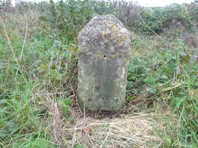
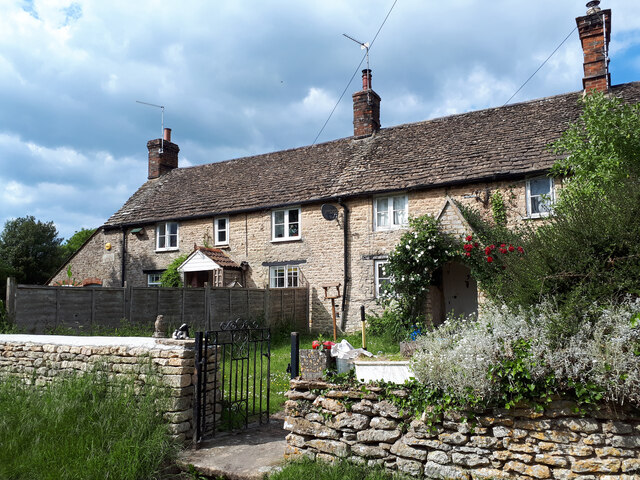
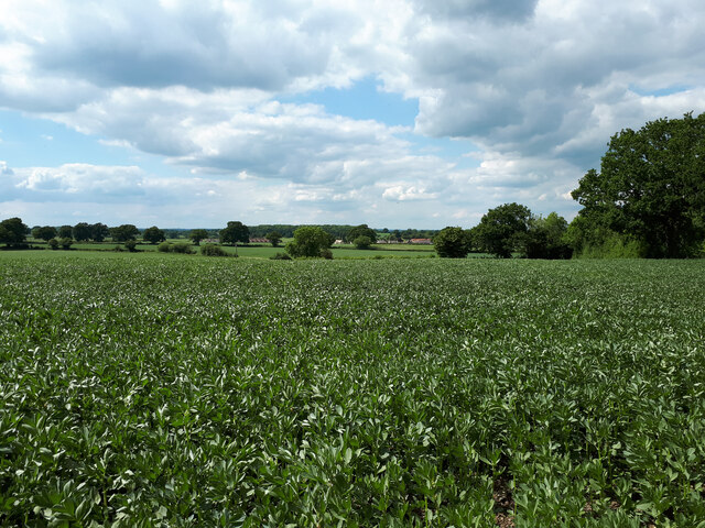
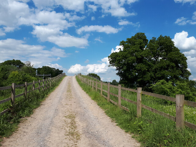
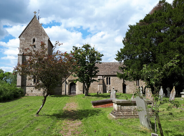
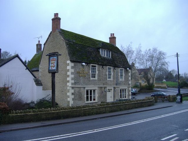
West Park Wood Images

Images are sourced within 2km of 51.556674/-2.1215898 or Grid Reference ST9184. Thanks to Geograph Open Source API. All images are credited.

Old Milestone, A429 1 km SW of Corston on the SE verge. Cut Benchmark representing 79.9 m ASL at 0.1 m GL but currently below ground level. Map designates mileage as "Malmesbury 3 / Chippenham 7"

Inscription (was): CHIPPENᴹ/ VII / MILES / MALMES.RY / III / MILES

Grade II listed, see <span class="nowrap"><a title="https://historicengland.org.uk/listing/the-list/list-entry/1284671" rel="nofollow ugc noopener" href="https://historicengland.org.uk/listing/the-list/list-entry/1284671">Link</a><img style="margin-left:2px;" alt="External link" title="External link - shift click to open in new window" src="https://s1.geograph.org.uk/img/external.png" width="10" height="10"/></span>


Milestone Society National ID: WI_CPMY07
Old Milestone, A429
1 km SW of Corston on the SE verge. Cut Benchmark representing 79.9 m ASL at 0.1 m GL but currently below ground level. Map designates mileage as "Malmesbury 3 / Chippenham 7" Inscription (was): CHIPPENᴹ/ VII / MILES / MALMES.RY / III / MILES Grade II listed, see LinkExternal link Milestone Society National ID: WI_CPMY07
Looking across a bean field towards Corston
Approaching Cabbage Lane rail overbridge
Holy Rood Church
Holy Rood Church
Old Milestone A429, Corston Modern image of <a href="https://www.geograph.org.uk/photo/6035268">ST9284 : Old Milestone by the A429, Corston</a>.
The plate has disappeared since 1970.
Malmesbury First Roman stone and plate, by the A429, in parish of St Paul Malmesbury Without (North Wiltshire District), Malmesbury Road, North East side of the village, by the North West side of road.
There is most likely an OS Benchmark representing 75.1 m ASL on the front face under the soil.

Inscription reads: CHIPPENᴹ. /  VIII / MILES / MALMSRY. / II /MILES

Grade II listed. July 1987 Number: 1284651 <span class="nowrap"><a title="https://historicengland.org.uk/listing/the-list/list-entry/1284651" rel="nofollow ugc noopener" href="https://historicengland.org.uk/listing/the-list/list-entry/1284651">Link</a><img style="margin-left:2px;" alt="External link" title="External link - shift click to open in new window" src="https://s1.geograph.org.uk/img/external.png" width="10" height="10"/></span>

Milestone Society National ID: WI_CPMY08
Old Milestone A429, Corston
Modern image of ST9284 : Old Milestone by the A429, Corston. The plate has disappeared since 1970. Malmesbury First Roman stone and plate, by the A429, in parish of St Paul Malmesbury Without (North Wiltshire District), Malmesbury Road, North East side of the village, by the North West side of road. There is most likely an OS Benchmark representing 75.1 m ASL on the front face under the soil. Inscription reads: CHIPPENᴹ. / VIII / MILES / MALMSRY. / II /MILES Grade II listed. July 1987 Number: 1284651 LinkExternal link Milestone Society National ID: WI_CPMY08
Village church in Corston The village church, visible from the road through the village, is on the crest of the small hill and built out of Cotswold Stone.
Village church in Corston
The village church, visible from the road through the village, is on the crest of the small hill and built out of Cotswold Stone.
All Saints Church, Corston
Rail bridge near Kingsway Barn A view looking northeast towards the bridge carrying the railway over the A429. The roof of Kingsway Barn can be seen behind the embankment at right.
Rail bridge near Kingsway Barn
A view looking northeast towards the bridge carrying the railway over the A429. The roof of Kingsway Barn can be seen behind the embankment at right.
Rail farm cottages Workers cottages on Rail farm.
Rail farm cottages
Workers cottages on Rail farm.
Exercising the horses A rider with two horses braves the showers, on Common Road.
Exercising the horses
A rider with two horses braves the showers, on Common Road.
Green lane to Home farm A rather damp track from Common Road.
Green lane to Home farm
A rather damp track from Common Road.
Burnt Heath farm Fresh tarmac on the farm road leading joining Common Road.
Burnt Heath farm
Fresh tarmac on the farm road leading joining Common Road.
Freight train near Bincombe Wood A train of empty mineral waggons returning to the Yeomans' quarry in Somerset.
Freight train near Bincombe Wood
A train of empty mineral waggons returning to the Yeomans' quarry in Somerset.
The Radnor Arms Opposite the church in Corston....
The Radnor Arms
Opposite the church in Corston....
Corston cottages Situated near the Gauze Brook bridge, at a bend in the A429.
Corston cottages
Situated near the Gauze Brook bridge, at a bend in the A429.
Mill Lane, Corston Runs alongside the Gauze Brook.
Mill Lane, Corston
Runs alongside the Gauze Brook.
The Gables, Corston One of the older village houses.
The Gables, Corston
One of the older village houses.
Show me another place!

West Park Wood is located at Grid Ref: ST9184 (Lat: 51.556674, Lng: -2.1215898)

Unitary Authority: Wiltshire

Police Authority: Wiltshire

What 3 Words

///lawyer.pills.baking. Near Norton, Wiltshire

Nearby Locations

West Park Wood

Related Wikis

Corston, Wiltshire

Corston is a small village on the A429 road in Wiltshire, England, in the civil parish of St Paul Malmesbury Without, approximately 3 miles (4.8 km) south...

St Paul Malmesbury Without

St Paul Malmesbury Without is a civil parish surrounding Malmesbury, Wiltshire, England. Its main settlements are the village of Corston and the hamlets...

Rodbourne, St Paul Malmesbury Without

Rodbourne is a small village in Wiltshire, England, in the civil parish of St Paul Malmesbury Without about 2.5 miles (4.0 km) south of the town of Malmesbury...

Hullavington railway station

Hullavington railway station served the civil parish of Hullavington, Wiltshire, England from 1903 to 1965 on the South Wales Main Line. == History... ==

Nearby Amenities

Located within 500m of 51.556674,-2.1215898
Barrier: stile
Lat/Long: 51.5544484/-2.116008
The data included in this document is from www.openstreetmap.org. The data is made available under ODbL.

Have you been to West Park Wood?

Leave your review of West Park Wood below (or comments, questions and feedback).