Brockholes Plantation
Wood, Forest in Northumberland
England
Brockholes Plantation
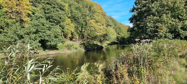
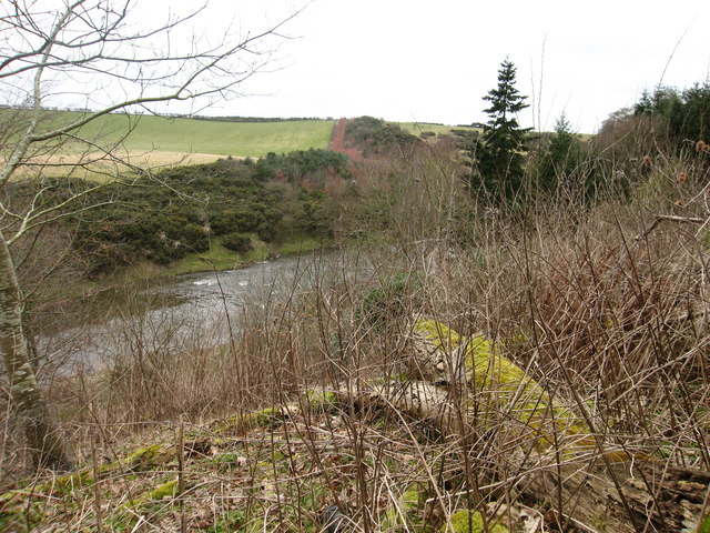
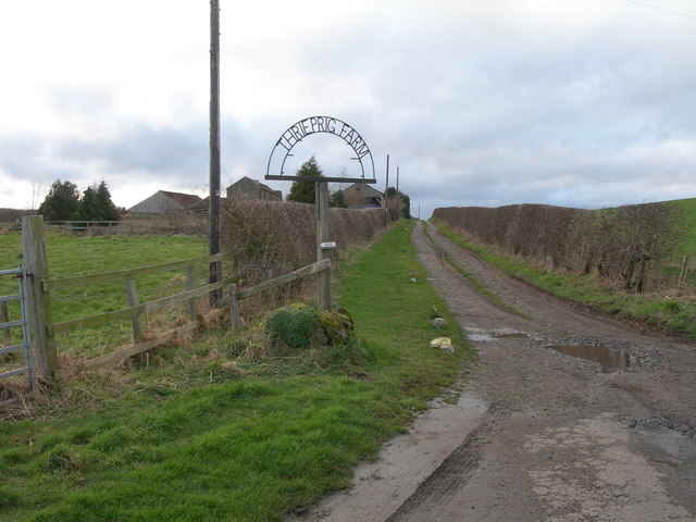
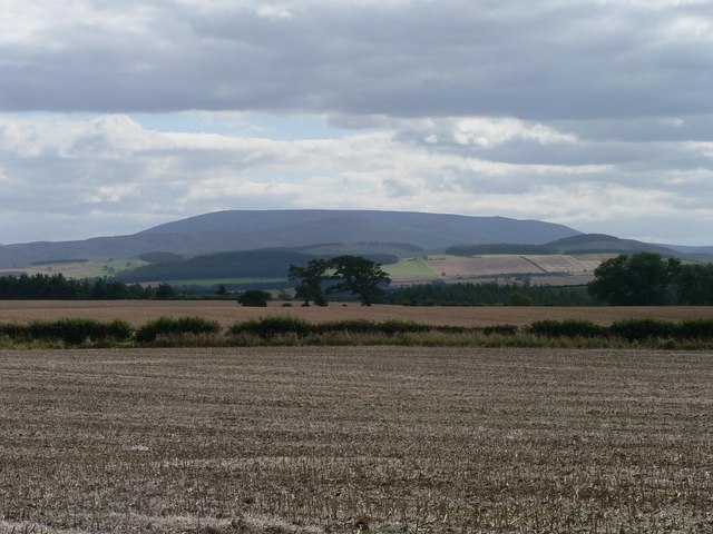
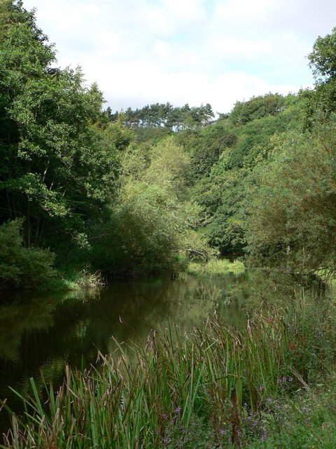
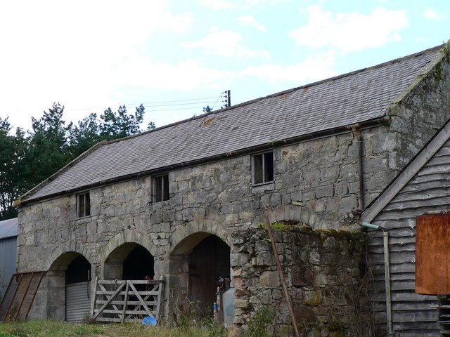
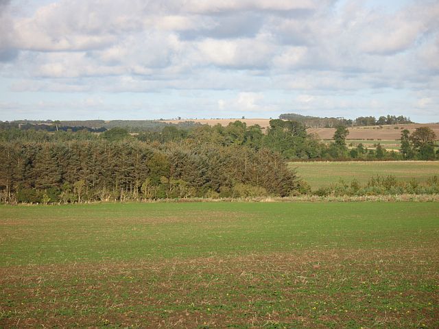
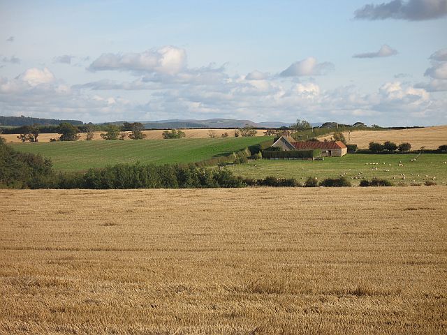
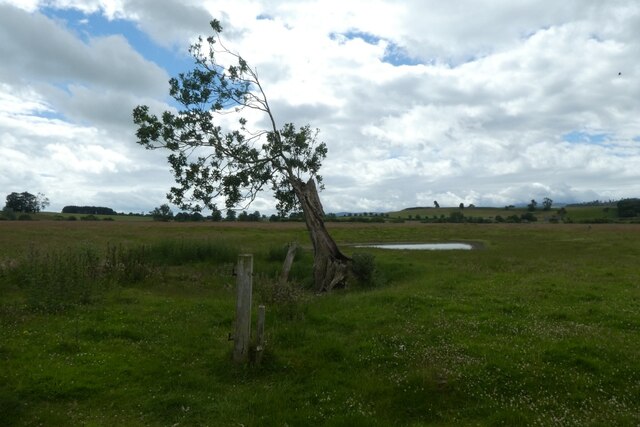
Brockholes Plantation is a picturesque woodland located in the county of Northumberland, England. Covering an area of approximately 100 hectares, it is a prime example of a well-preserved plantation forest.
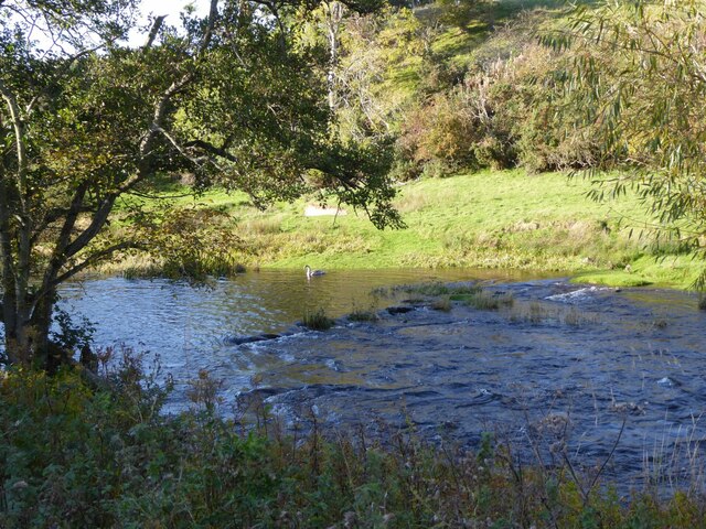
The plantation predominantly consists of native broadleaf trees, such as oak, ash, and beech, which create a diverse and thriving ecosystem. These trees provide a habitat for a variety of wildlife, including birds, small mammals, and insects. The woodland floor is carpeted with a rich assortment of plants, including bluebells, ferns, and wild garlic, adding to its natural beauty.
The management of Brockholes Plantation prioritizes conservation and sustainability. It is carefully maintained to preserve the ecological balance and ensure the long-term health of the woodland. The plantation is periodically thinned to allow for better growth and to create open spaces, enhancing biodiversity and encouraging the growth of understorey plants.
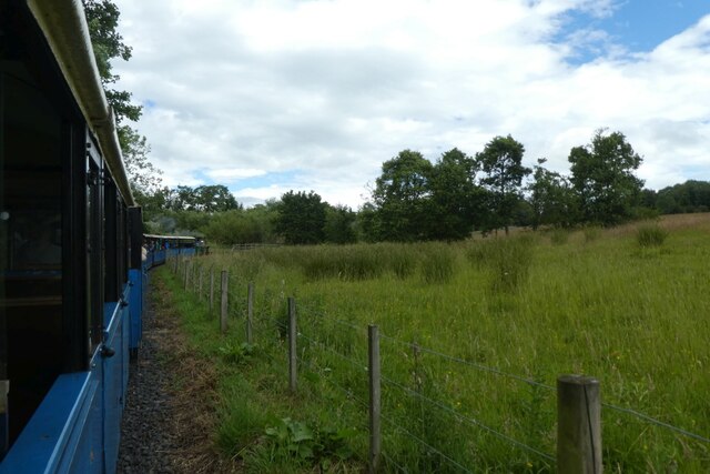
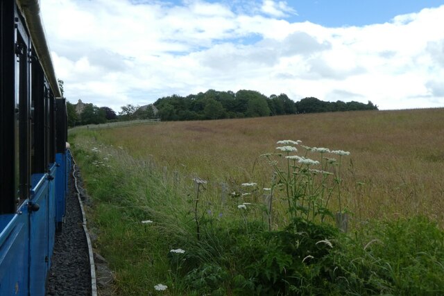
The woodland is open to the public and offers a network of well-maintained footpaths, making it accessible for walkers, nature enthusiasts, and families. Visitors can enjoy the tranquility of the forest, listen to the melodic bird songs, and spot wildlife in their natural habitat. The plantation also offers opportunities for educational activities and guided tours to learn more about the importance of woodland conservation.
Brockholes Plantation is a cherished natural asset in Northumberland, providing a serene retreat for those seeking solace in nature. Its unspoiled beauty, diverse flora, and fauna make it an ideal destination for nature lovers and a valuable resource for environmental education.
If you have any feedback on the listing, please let us know in the comments section below.
Brockholes Plantation Images
Images are sourced within 2km of 55.657385/-2.1416926 or Grid Reference NT9140. Thanks to Geograph Open Source API. All images are credited.

Brockholes Plantation is located at Grid Ref: NT9140 (Lat: 55.657385, Lng: -2.1416926)
Unitary Authority: Northumberland
Police Authority: Northumbria
What 3 Words
///drizzly.farmland.outsize. Near Ford, Northumberland
Related Wikis

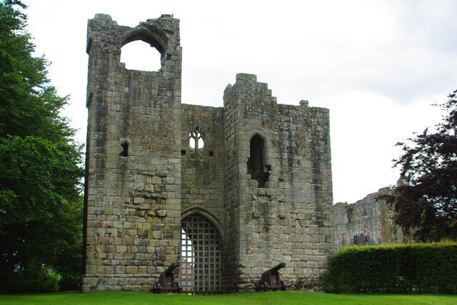
Etal Castle
Etal Castle is a ruined medieval fortification in the village of Etal, Northumberland, England. It was built around 1341 by Robert Manners, and comprised...

Etal, Northumberland
Etal ( EE-təl) is a small village in the far north of the county of Northumberland, England, in the civil parish of Ford. It lies on a bridging point of...

Heaton Castle
Heaton Castle (anciently Heton) in the parish of Cornhill-on-Tweed, Northumberland, England, is a ruined historic castle near the Scottish border. It is...

Pallinsburn House
Pallinsburn House is an 18th-century country house situated at Ford, Northumberland. It is a Grade II* listed building. The house was built about 1763...

Crookham, Northumberland
Crookham is a village on the River Till in Northumberland, in England. It is situated approximately 8 km (5.0 mi) to the east of Coldstream and 14 km...
Ford Forge
Ford Forge (Ford Mill), Northumberland, England is located on the River Till between the villages of Ford and Etal. Buildings housing a water-powered forge...

Heatherslaw Mill
Heatherslaw Mill is a water mill situated on the Ford and Etal Estate, 7 miles north of the town of Wooler in the English county of Northumberland. It...

Duddo Tower
Duddo Tower is a Scheduled Ancient Monument and a Grade II listed building comprising the ruinous remains of an ancient pele tower and 16th century tower...
Have you been to Brockholes Plantation?
Leave your review of Brockholes Plantation below (or comments, questions and feedback).