Foston's Ash Grove

Wood, Forest in Gloucestershire Stroud

England

Foston's Ash Grove

Faint line of a footpath Heading eastwards from Bunnage towards Whiteway.
Faint line of a footpath Credit: Jonathan Billinger

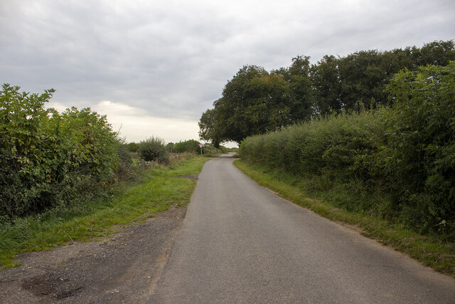
Foston's Ash Grove is a charming and picturesque woodland located in the county of Gloucestershire, England. Situated near the village of Foston's Ash, this ancient forest is renowned for its natural beauty and tranquil atmosphere.

Covering an area of approximately 100 acres, Foston's Ash Grove is predominantly composed of mature oak trees, interspersed with patches of birch, beech, and hazel. The dense canopy created by these towering giants provides a shaded and cool environment, particularly during the hot summer months.

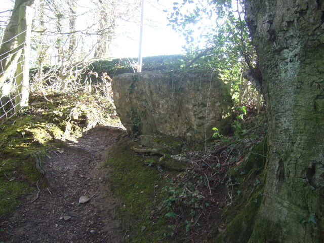
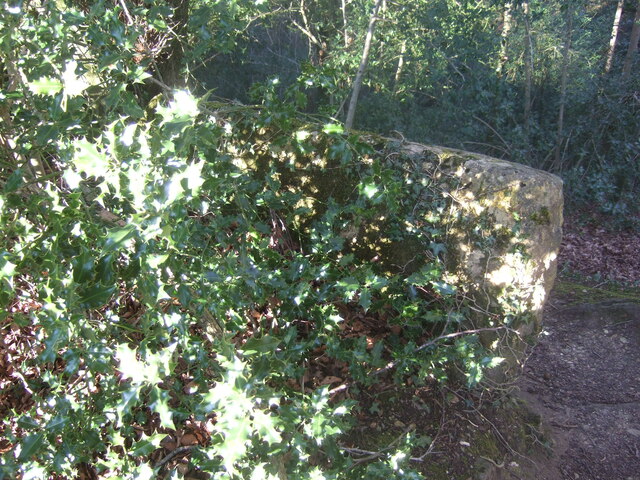
The forest floor is adorned with a rich carpet of moss, ferns, and wildflowers, creating a vibrant and diverse ecosystem. Visitors to Foston's Ash Grove can expect to encounter a wide array of wildlife, including deer, badgers, foxes, and numerous species of birds. The forest is also home to several rare and protected species, such as the lesser spotted woodpecker and the silver-washed fritillary butterfly.

Walking trails meander through the woodland, offering visitors the opportunity to explore the forest's enchanting beauty. The paths are well-maintained and suitable for all ages and abilities. Along the way, informative signage provides fascinating insights into the history and ecology of the area.

Foston's Ash Grove is a beloved destination for nature enthusiasts, hikers, and photographers alike. Its serene and secluded setting makes it a perfect escape from the hustle and bustle of everyday life. Whether you are looking for a peaceful stroll, a chance to spot wildlife, or simply a moment of tranquility, Foston's Ash Grove is a must-visit destination for anyone seeking solace in nature.

If you have any feedback on the listing, please let us know in the comments section below.

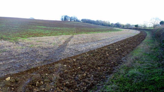
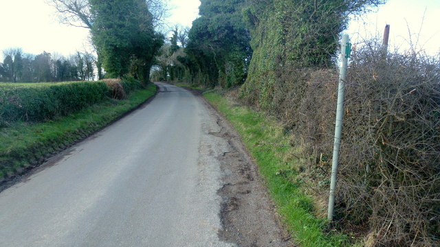
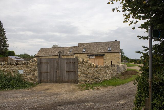
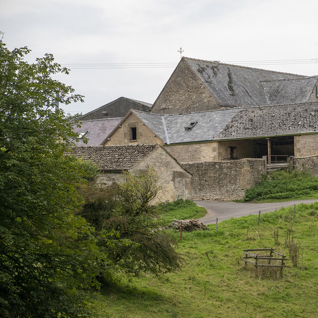
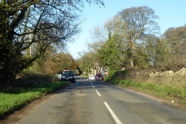
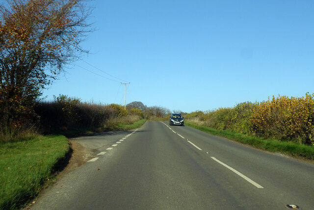
Foston's Ash Grove Images

Images are sourced within 2km of 51.801416/-2.1291514 or Grid Reference SO9111. Thanks to Geograph Open Source API. All images are credited.

Faint line of a footpath Heading eastwards from Bunnage towards Whiteway.
Faint line of a footpath
Heading eastwards from Bunnage towards Whiteway.
Lane to Bunnage Looking west from the footpath sign for this path; <a href="https://www.geograph.org.uk/photo/4865645">SO9009 : Faint line of a footpath</a>.
Lane to Bunnage
Looking west from the footpath sign for this path; SO9009 : Faint line of a footpath.
View to Hazle Manor Showing how waterlogged the ground is this late winter.
View to Hazle Manor
Showing how waterlogged the ground is this late winter.
The Calf Way Looking north from the crossroads near Hazle Manor.
The road leads to Birdlip and Gloucester.
Possibly an old drover's road.
The Calf Way
Looking north from the crossroads near Hazle Manor. The road leads to Birdlip and Gloucester. Possibly an old drover's road.
Substation near The Camp Viewed from the crossroads on the Calf way near Hazle Manor.
Substation near The Camp
Viewed from the crossroads on the Calf way near Hazle Manor.
Footpath near Whiteway
Whiteway Village
Whiteway Village
Wateredge Farm Converted farm building at Wateredge Farm
Wateredge Farm
Converted farm building at Wateredge Farm
Climperwell Farm
Climperwell Farm
Crossroads and signpost
Crossroad and woodland Crossroad and woodland near Longdole Polo Club
Crossroad and woodland
Crossroad and woodland near Longdole Polo Club
Stone stile near Bramble Cottage, Cranham GS1081 Stone slab stile off lane Cranham to B4070 near Bramble Cottage, Cranham. On public right of way MCR12
Stone stile near Bramble Cottage, Cranham GS1081
Stone slab stile off lane Cranham to B4070 near Bramble Cottage, Cranham. On public right of way MCR12
Stone stile near Bramble Cottage, Cranham GS1081 Stone slab stile off lane Cranham to B4070 near Bramble Cottage, Cranham. On public right of way MCR12. View from road side
Stone stile near Bramble Cottage, Cranham GS1081
Stone slab stile off lane Cranham to B4070 near Bramble Cottage, Cranham. On public right of way MCR12. View from road side
Stone stile north of Hazle Manor, Wishanger GS9268 Stone slab stile off Calf Way, the road Fostons Ash to Bisley Road. Off the east side of Calf Way and just north of Hazle Manor, Wishanger. On public right of way MMN17, Miserden parish.
Stone stile north of Hazle Manor, Wishanger GS9268
Stone slab stile off Calf Way, the road Fostons Ash to Bisley Road. Off the east side of Calf Way and just north of Hazle Manor, Wishanger. On public right of way MMN17, Miserden parish.
Stone stile north of Hazle Manor, Wishanger GS9268 Stone slab stile off Calf Way, the road Fostons Ash to Bisley Road. Off the east side of Calf Way and just north of Hazle Manor, Wishanger. On public right of way MMN17. Miserden parish
View from Calf Way
Stone stile north of Hazle Manor, Wishanger GS9268
Stone slab stile off Calf Way, the road Fostons Ash to Bisley Road. Off the east side of Calf Way and just north of Hazle Manor, Wishanger. On public right of way MMN17. Miserden parish View from Calf Way
Calf Way heading north Towards Birdlip.
Calf Way heading north
Towards Birdlip.
Calf Way heading north Towards Birdlip, joining the B4070 ahead.
Calf Way heading north
Towards Birdlip, joining the B4070 ahead.
B4070 towards Birdlip
Show me another place!

Foston's Ash Grove is located at Grid Ref: SO9111 (Lat: 51.801416, Lng: -2.1291514)

Administrative County: Gloucestershire

District: Stroud

Police Authority: Gloucestershire

What 3 Words

///fingertip.moon.cube. Near Painswick, Gloucestershire

Nearby Locations

Foston's Ash Grove

Related Wikis

Workmans Wood, Sheepscombe

Workmans Wood (grid reference SO900109) is a wood just to the east of the village of Sheepscombe, in the Cotswolds, Gloucestershire. It is a biological...

Whiteway Colony

Whiteway Colony is a residential community in the Cotswolds in the parish of Miserden near Stroud, Gloucestershire, United Kingdom. The community was founded...

Cotswold Commons and Beechwoods

Cotswold Commons and Beechwoods (grid reference SO900130) is a 665.5-hectare (1,644-acre) biological Site of Special Scientific Interest in Gloucestershire...
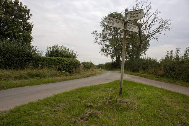
Brimpsfield

Brimpsfield is a village in Gloucestershire, England. The village is recorded in Domesday Book as Brimesfelde. Brimpsfield Castle was built in the village...

The Camp, Gloucestershire

The Camp is a hamlet in the south of Gloucestershire, approximately 10 miles south of Cheltenham and 5 miles north-east of Stroud. It is in the parish...

Sheepscombe

Sheepscombe is a small village in the civil parish of Painswick, in the Stroud district, in the county of Gloucestershire, England. Sheepscombe is located...

Cranham, Gloucestershire

Cranham is a village in the English county of Gloucestershire. Forming part of the district of Stroud it is to be found a mile or so east of the A46 road...

Rough Bank, Miserden

Rough Bank, Miserden (grid reference SO907087) is a 9.2-hectare (23-acre) biological Site of Special Scientific Interest in Gloucestershire, notified in...

Nearby Amenities

Located within 500m of 51.801416,-2.1291514
Bus Stop
Foston's Ash Inn
Naptan AtcoCode: 1600GL2055
Naptan Bearing: S
Naptan CommonName: Foston's Ash Inn
Naptan NaptanCode: glodmwja
Naptan Street: Calf Way
Naptan Verified: no
Source: naptan_import
Lat/Long: 51.8009079/-2.1254156
Foston's Ash Inn
Naptan AtcoCode: 1600GL2056
Naptan Bearing: N
Naptan BusStopType: CUS
Naptan CommonName: Foston's Ash Inn
Naptan NaptanCode: glodmwgt
Naptan Street: Calf Way
Naptan Verified: no
Source: naptan_import
Lat/Long: 51.80071/-2.1255456
Post Box
Collection Times: Mo-Fr 16:00; Sa 07:00; Su off
Drive Through: no
Operator: Royal Mail
Post Box Type: lamp
Ref: GL6 215
Royal Cypher: EIIR
Royal Cypher Wikidata: Q33102113
Source: survey
Lat/Long: 51.8008966/-2.1253734
Power: pole
Lat/Long: 51.8054762/-2.1271717
Power: pole
Lat/Long: 51.8047648/-2.1267236
Power: pole
Lat/Long: 51.8041037/-2.126303
Power: pole
Lat/Long: 51.8037789/-2.1261459
Power: pole
Lat/Long: 51.8033864/-2.1259425
Power: pole
Lat/Long: 51.8028406/-2.1258393
Power: pole
Lat/Long: 51.8021861/-2.1257438
Power: pole
Lat/Long: 51.8015374/-2.1256806
Power: pole
Lat/Long: 51.8005619/-2.1260781
Power: pole
Lat/Long: 51.7995364/-2.1263361
The data included in this document is from www.openstreetmap.org. The data is made available under ODbL.

Have you been to Foston's Ash Grove?

Leave your review of Foston's Ash Grove below (or comments, questions and feedback).