Glazenside Plantation
Wood, Forest in Northumberland
England
Glazenside Plantation
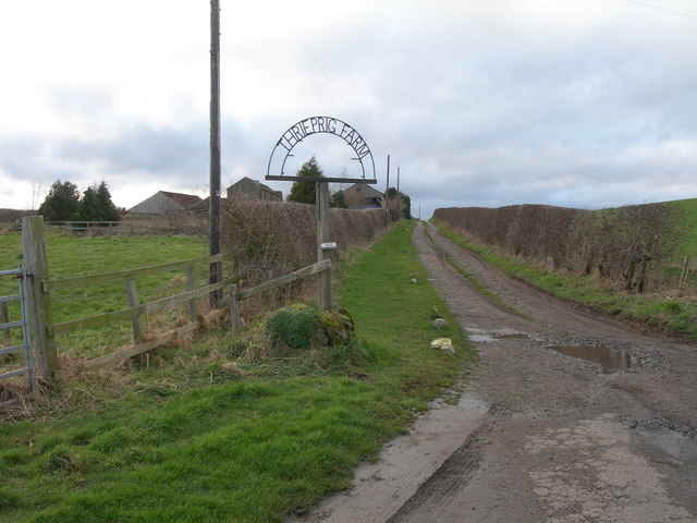
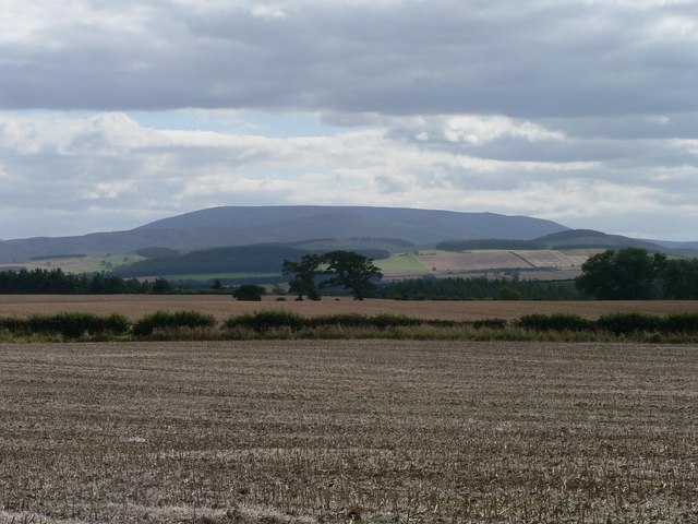
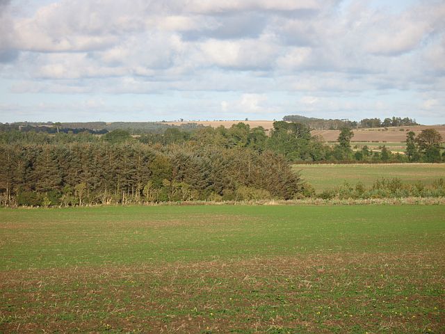
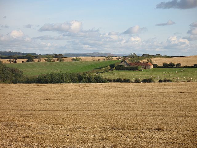
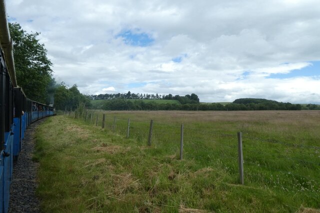
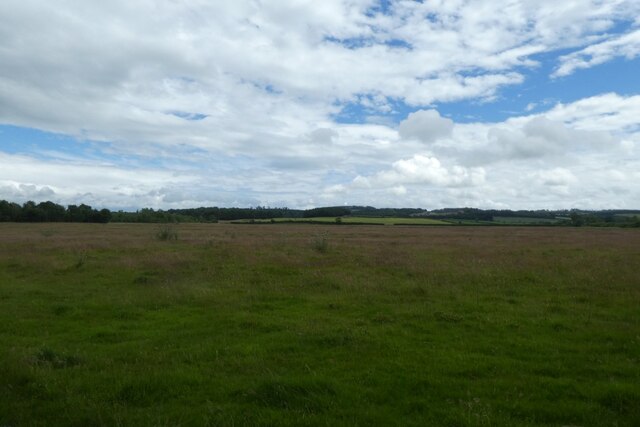
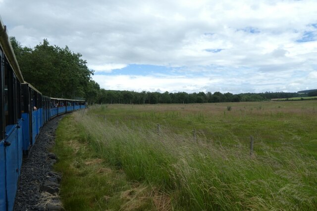
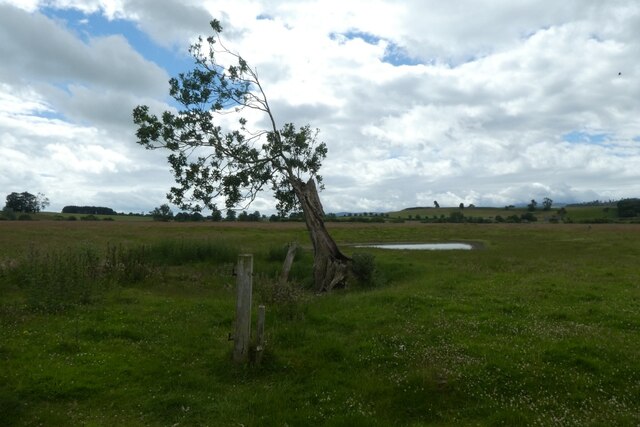
Glazenside Plantation is a picturesque woodland located in Northumberland, England. Situated near the village of Wood, this plantation is renowned for its natural beauty and diverse ecosystem. With an area spanning approximately 200 acres, Glazenside Plantation offers visitors a serene and tranquil environment to explore.
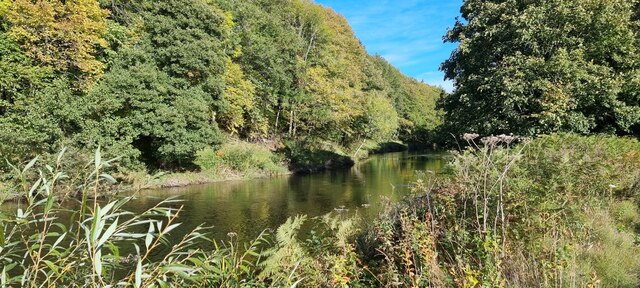
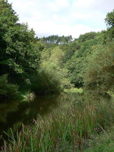
The plantation is predominantly composed of dense, ancient forests comprised of a variety of tree species, including oak, beech, and birch. These towering trees provide a canopy of shade, creating a cool and refreshing atmosphere even during the hottest summer days. The forest floor is covered in a thick carpet of moss, ferns, and wildflowers, adding to the enchanting ambiance.
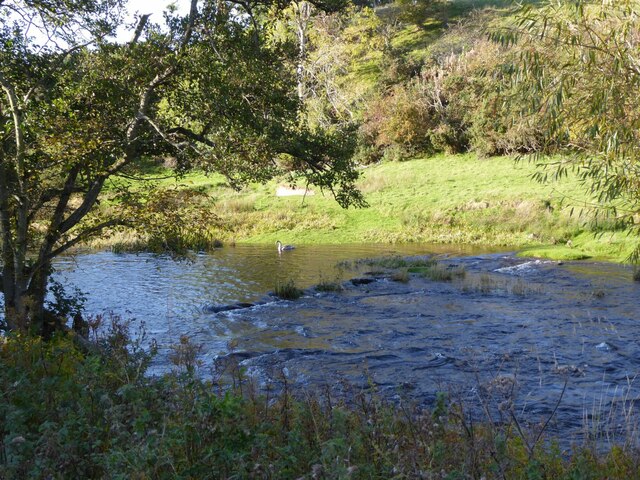
Glazenside Plantation is home to a plethora of wildlife, making it a popular destination for nature enthusiasts and bird watchers. Visitors may spot a wide range of bird species, such as woodpeckers, owls, and various songbirds. Additionally, the plantation is inhabited by small mammals like squirrels, rabbits, and foxes, adding to the biodiversity of the area.
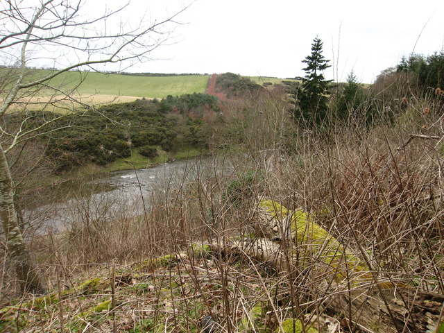
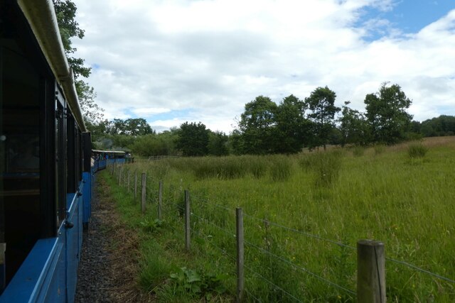
The plantation offers several well-maintained walking trails, allowing visitors to explore the woodland at their own pace. These paths wind through the forest, offering stunning views of the surrounding countryside and nearby streams. Nature lovers can also engage in activities such as picnicking, photography, or simply finding a quiet spot to immerse themselves in the peacefulness of the plantation.
Overall, Glazenside Plantation in Northumberland is a haven for those seeking tranquility and a close connection with nature. Its ancient forests, diverse wildlife, and well-maintained trails make it a perfect destination for outdoor enthusiasts and individuals looking to escape the hustle and bustle of everyday life.
If you have any feedback on the listing, please let us know in the comments section below.
Glazenside Plantation Images
Images are sourced within 2km of 55.654734/-2.1417307 or Grid Reference NT9140. Thanks to Geograph Open Source API. All images are credited.

Glazenside Plantation is located at Grid Ref: NT9140 (Lat: 55.654734, Lng: -2.1417307)
Unitary Authority: Northumberland
Police Authority: Northumbria
What 3 Words
///broads.aviators.radiates. Near Ford, Northumberland
Related Wikis

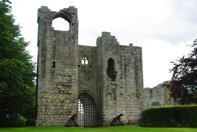
Etal Castle
Etal Castle is a ruined medieval fortification in the village of Etal, Northumberland, England. It was built around 1341 by Robert Manners, and comprised...

Etal, Northumberland
Etal ( EE-təl) is a small village in the far north of the county of Northumberland, England, in the civil parish of Ford. It lies on a bridging point of...

Pallinsburn House
Pallinsburn House is an 18th-century country house situated at Ford, Northumberland. It is a Grade II* listed building. The house was built about 1763...

Crookham, Northumberland
Crookham is a village on the River Till in Northumberland, in England. It is situated approximately 8 km (5.0 mi) to the east of Coldstream and 14 km...
Have you been to Glazenside Plantation?
Leave your review of Glazenside Plantation below (or comments, questions and feedback).